|
Gutmann Otmar:
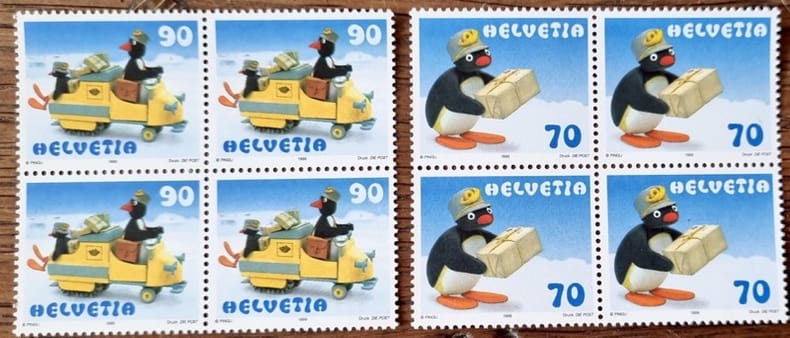
8 timbres Pingu (70 + 90 centimes).
PTT, 1999. Valeur totale 6,40 francs suisses.
Référence libraire : 24691
|
|
|
Guy Pessiot
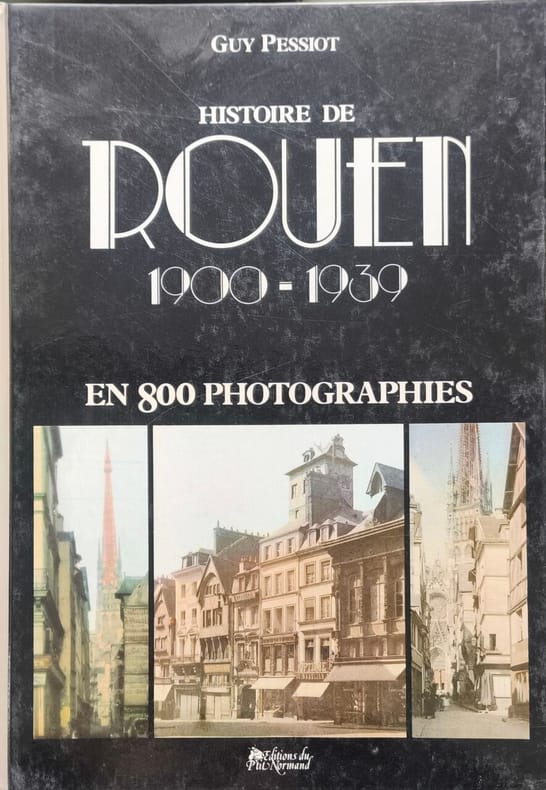
Histoire de Rouen 1900-1939 en 800 photographies - numéroté 64/3500
Editions du Pôle Normand 1982 319 pages in4. 1982. reliure editeur. première édition. 319 pages. Cet ouvrage présente une sélection commentée de 800 photographies et cartes postales de Rouen couvrant la période de 1900 à la déclaration de la Seconde Guerre mondiale. Il offre un regard sur la ville durant la Première Guerre mondiale et l'entre-deux-guerres avec des informations sûres et un ton apprécié pour son humour et son amour de la ville
Référence libraire : 13886
|
|
|
Guy Pessiots
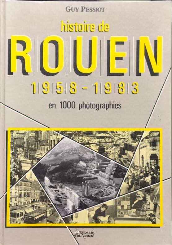
Histoire de Rouen 1958-1983 en 1000 photographies
Éditions du P.N. Normand 1984 335 pages in4. 1984. reliure editeur. première édition. 335 pages. L'ouvrage 'Histoire de Rouen' de Guy Pessiot publié par les Éditions Normand retrace l'évolution de la ville de Rouen à travers des photographies et des textes couvrant les périodes de 1850 à 1900 1900-1939 et 1939-1958. Il s'agit d'une collection documentaire historique illustrée
Référence libraire : 13887
|
|
|
GUYOT Charly:
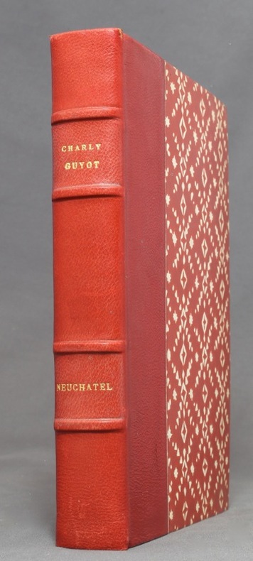
Neuchâtel. Histoire d’une cité.
Neuchâtel, La Neuchâteloise, 1946. In-8 de 299 pages, demi-maroquin rouge, dos à 4 nerfs, couvertures et dos conservés. Nom de possesseur sur garde.
Référence libraire : 1127
|
|
|
Gvirtzman, Haim
Israel Water Resources: Chapters in Hydrology and Environmental Sciences
Contains pictures. 22x28 cm. ç(8) + 287 pages. Hard cover. Good condition.
|
|
|
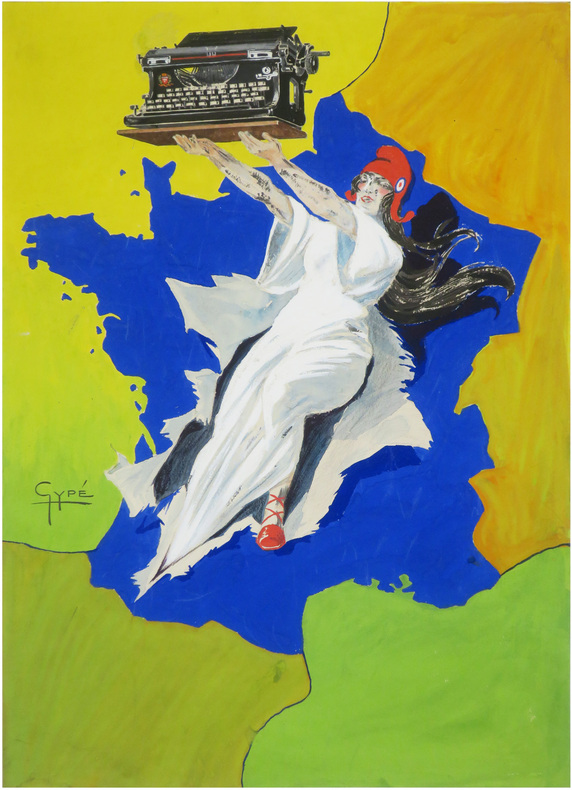
GYPÉ (Jean Poincignon-Gypé, dit).
[Gouache préparatoire pour une affiche publicitaire].
[vers 1921]. 492 x 356 mm.
Référence libraire : LBW-9027
|
|
|
Général Weygand
Foch illustré de 20 pages hors-texte et de 7 cartes
Flammarion 1947 379 pages in8. 1947. reliure editeur. 379 pages. Biographie du maréchal Ferdinand Foch commandant en chef des armées alliées pendant la Première Guerre mondiale écrite par le général Maxime Weygand son ancien chef d'état-major. L'ouvrage propose un témoignage de première main sur la stratégie militaire et le leadership de Foch durant le conflit
Référence libraire : 4946

|
|
|
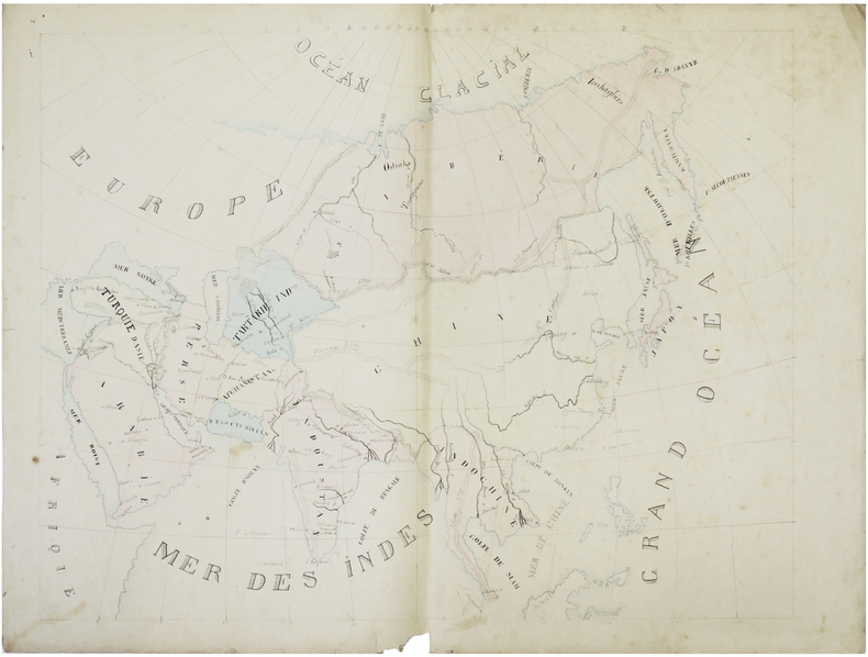
GÉRARD (Augustin).
[Asie].
[milieu du XIXe siècle]. 44 x 55 cm.
Référence libraire : LBW-7435
|
|
|
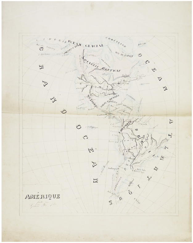
GÉRARD (Augustin).
Amérique.
[milieu du XIXe siècle]. 45 x 38,5 cm.
Référence libraire : LBW-7433
|
|
|
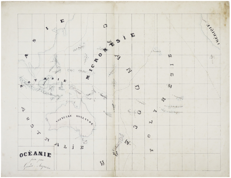
GÉRARD (Augustin).
Océanie.
[milieu du XIXe siècle]. 43 x 55,5 cm.
Référence libraire : LBW-7432
|
|
|
Günther, Otto
Hamburg und sämtliche Ausflüge Rund um Hamburg. Ein wertvolles Handbuch für Geschäfts- und Vergnügungs-Reisende. Nach neuesten Quellen bearbeitet.
Hamburg-Bergedorf, Georg-Louis Klingler, [1911]. 160 S. (davon 36 gestaltete Firmenanzeigen-S.) Mit zahlr. Abb. u. 3 Ktn. sowie einem mehrf. gefalteten farbigen Plan (53,5 x 54,5 cm). 19,5 cm. OKart.
Référence libraire : 14226

|
|
|
Güssefeld, Franz Ludwig
Charte vom Königreich Böheim. Nach Murdochischer Projection entworfen, nach den neuesten und zuverlässigsten astronomischen Ortsbestimmungen berichtiget, und revidiret auf der Seeberger und Prager Sternwarte. Gotha. Gezeichnet vn F. L. Güssefeld. [Altkolorierter Original-Kupferstich / original colored copper engraving].
o.J. Franz Ludwig Güssefeld, geboran am 6. Dezember 1744 in Osterburg, gestorben am 17. Juni 1808 in Weimar. Preußischer Kartograph. Seine Karten waren wegen ihrer Exaktheit berühmt und machten Güssefeld zu einem der angesehensten und produktivsten Kartographen der 2. Hälfte des 18. Jahrhunderts für den deutschen Raum. [4 Warenabbildungen]
Référence libraire : 12032DB

|
|
|
Güssefeld, Franz Ludwig
Der nördliche Theil des Obersächsischen Kreises oder die Mark Brandenburg und das Herzogthum Pommern. 1780. [Original-Kupferstich, gerahmt / original copper engraving, framed].
o.J. [3 Warenabbildungen] (Franz Ludwig Güssefeld, geb. 06.12.1744 in Osterburg, gest. 17.06.1808 in Weimar, preußischer Kartograph).
Référence libraire : 66145CB

|
|
|
H. GERBAULT - Lithographe de l'oeuvre reproduite
UNE LITHOGRAPHIE ORIGINALE : CARTES D'INVITATION POUR LA REVUE "L'AMOUR EN GRÈVE" ET LA "CENTIÈME DES DEMI-VIERGES" ILLUSTRÉES PAR H. GERBAULT: EXTRAITE DE : "Les programmes illustrés des théâtres et des cafés-concerts. Menus, cartes d'invitation, petites estampes, etc. Préface par Pierre Veber. par Maindron, Ernest, 1897 Paris, Verlag Librairie Nilsson (Per Lamm) Editeur,
paris Nilsson 1897 Une LITHOGRAPHIE EN NOIR : format : 24 x 32 cm, EXTRAITE DE : "Les programmes illustrés des théâtres et des cafés-concerts. Menus, cartes d'invitation, petites estampes, etc. Préface par Pierre Veber. par Maindron, Ernest, 1897 Paris, Verlag Librairie Nilsson (Per Lamm) Editeur,
Référence libraire : 27548
|
|
|
H. Lamarche, Kauffmann, Emile de la Bedollière, R. Bourdier, Chodzko (texte), Janet-Lange (illustration), et Cartes géographiques par A.H. Dufour
Histoire de la guerre d'Orient
Gustave Barba, non daté 1855 6 series en 1 volume in-4, toile éditeur, dos et plats ornés blanc et or, texte sur deux colonnes. 68- 84- 80- 48- 96- 96 pages - nombreuses illustrations dans le texte, 3 portraits sur chine contrecollés & 6 cartes repliées en couleur. Petit accroc au centre du faux-titre. Quelques rousseurs marginales, humidité en pied in-fine sans atteinte au texte.
Référence libraire : 141740

|
|
|
H. M. DE KONIGIN WILHELMINA, (1880-1962); PRINCESS JULIANA, (1909-2004).
[BRIEFKAART] H. M. de Koningin met Prinses Juliana (Origineel Deutmann den Haag.). Uitgave v. Blankwaardt & Schoonhoven Rijswijk (Z.-H.).
Very Good Dutch Original sepia toned photograph as printed postcard showing H. M. Wilhelmina meets Princess Juliana. 8,5x13,5 cm. In Dutch. Slightly toned and a minimal tape piece on verso. Otherwise a good paper. [BRIEFKAART] H. M. de Koningin met Prinses Juliana (Origineel Deutmann den Haag.). Uitgave v. Blankwaardt & Schoonhoven Rijswijk (Z.-H.). Wilhelmina Helena Pauline Maria was Queen of the Netherlands from 1890 until her abdication in 1948. Juliana was Queen of the Netherlands from 1948 until her abdication in 1980.
|
|
|
H.X. Arquillière
Histoire de l'Église
Les Éditions de l'École 1963 512 pages in8. 1963. Reliure editeur cartonnée. 512 pages.
Référence libraire : 7526

|
|
|
HAAS (Artillerie Lt. Johann Heinrich)
Militärische Situationkarte in XXIV Blättern von den Länden zwischen dem Rhein, Main und Neckar nebst den angränzenden Gegenden.- 1. Konigstern- 2. Frankfurt- 3. Seeligenstadt- 4. Schimborn- 5. Diedenbergen- 6. Langen- 7. Bubenhausen- 8. Aschaffenburg- 9. Oppenheim- 10. Darmstadt- 11. Gr. Umstadt- 12. Werth- 13. Guntersblum- 14. Zwingenberg- 15. Reichelsheim.et- 18. Happenheimm- 19. Frankenthal.
1787 2 boites cartonnées, avec étiquette. 17 cartes gravées sur cuivre de 15 sections montées sur toile et pliées, chacune formant une carte de 500 x 675 mm. Frankfurt H. L. Brönner 1787-1804
Référence libraire : 16317
|
|
|
Haddington, Peter
Around Manchester Guide
No marks or inscriptions. No creasing to covers, crease to spine. A very clean very tight copy with bright unmarked boards and no bumping to corners. 128pp. With a wealth of information of what to do around Manchester, for the family, visitors as well as organised groups.

|
|
|
Hadjipandelis, Nicos
This is Cyprus
No marks or inscriptions. No creasing to covers or to spine. A lovely clean crisp very tight copy with bright unmarked boards and no bumping to corners. 80pp. Illustrated guide to Cyprus. Undated ca 1980.

|
|
|
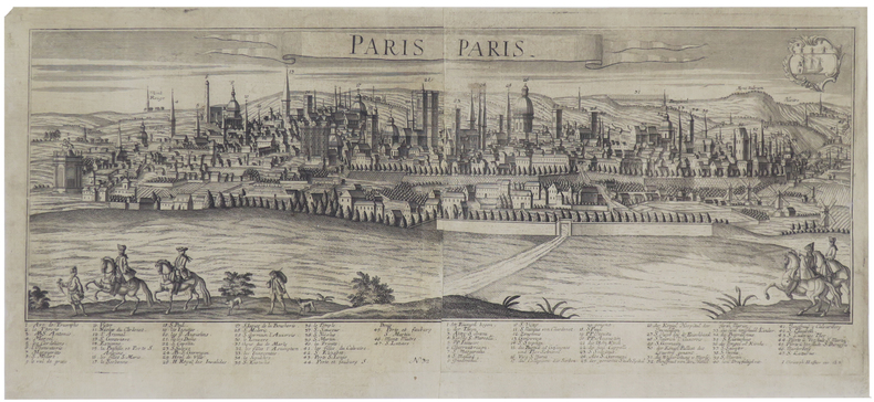
HAFFNER (Johann Christoph).
Paris.
Augsbourg, [circa 1740]. En deux feuilles jointes de 267 x 648 mm.
Référence libraire : LBW-436
|
|
|
HAFFNER Johann Christoph
Roma. Rom
Il modello iconografico a cui questa veduta si ispira è la veduta edita da Georg Baltazar Probst nel 1730 su disegno di Bernard Werner. Si tratta di una veduta che presenta la consueta scarsa affidabilità architettonica, esprimendosi in chiaro stile nordico, nella quale la selva di cupole, campanili e altissime antenne si conclude con coperture a profilo concavo, come le tipiche coperture delle città mitteleuropee. Johann C. Haffner (1668 - 1754) è incisore ed editore attivo a Vienna ed Augsburg; alcune sue opere sono datate tra il 1720 ed il 1730, mentre questa veduta è tratta da una serie databile al periodo 1745 - 50. Tooley 275: “The iconographic model of this view is the engraving printed by Georg Baltazar Probst in 1730, after Bernard Werner’s drawing. As usual, the view is not reliable on an architectonical point of view, for it refers to the classical nordic style, in which the multitude of domes, bell towers and high poles ends in hollow covers, typical of Mitteleuropean cities”.. Incisione in rame, due lastre stampate su due fogli di carta originariamente uniti, in eccellente stato di conservazione. Molto rara. The iconographic model of this view is the engraving printed by Georg Baltazar Probst in 1730, after Bernard Werner’s drawing. As usual, the view is not reliable on an architectonical point of view, for it refers to the classical nordic style, in which the multitude of domes, bell towers and high poles ends in hollow covers, typical of Mitteleuropean cities. Johann C. Hafner (1668-1754) was engraver and printer, he worked in Vienna; some of his works have been realized between 1720 and 1730, while the series from which the present work has been taken has been realized between 1745 and 1750. Johann C. Haffner (1668 - 1754) is an engraver and publisher active in Vienna and Augsburg; some of his works are dated between 1720 and 1730, while this view is taken from a series datable to the period 1745 - 50. Tooley 275: "The iconographic model of this view is the engraving printed by Georg Baltazar Probst in 1730, after Bernard Werner's drawing. As usual, the view is not reliable on an architectonical point of view, for it refers to the classical nordic style, in which the multitude of domes, bell towers and high poles ends in hollow covers, typical of Mitteleuropean cities.". Copperplate, two plates printed on two sheets, joined together in the past, in excellent condition. Very rare. cfr. C. Marigliani, "Le Piante di Roma delle collezioni private", tav. 183 (edizione del 1730 circa di formato ridotto).

|
|
|
HAGUENAU
Zone nord de guerre : Haguenau. Carte couleurs d'Etat-Major au 1/50 000?.
Feuille 53x68 cm.
|
|
|
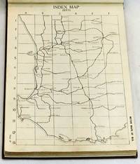
Hale's Motor Maps
Motor Maps of W.A. : comprising Index Map and 65 Sectional Maps of the South-West division of the State Western Australia 1923
Perth: Hale's Motor Maps Ltd. 1923. Octavo cloth boards with block printed title laid on upper boards b&w plates b&w illus pp 244. Rebound with new endpapers in custom-made slipcase. First page creased otherwise contents clean. Very good condition. Road maps of Western Australia from Moora Kondut and Becubbin in the north to Albany in the south and stretching iinward through the wheatbelt. Scale: 4 miles to the inch. With many illustrated advertisements for WA companies decriptions of Perth and Western Australia with photographs lists of garages and hotels and information for travellers. Boards in slip-case. Hale's Motor Maps Ltd. hardcover
Référence libraire : 101984
|
|
|
Halecki, Oscar; B/w Maps [Illustrator]
Borderlands of Western Civilization: History of East Central Europe
Ronald Press Co. Hardcover. New. New. In shrink wrap. Looks like an interesting title! Ronald Press Co hardcover
Référence libraire : Q-0826037402 ISBN : 0826037402 9780826037404

|
|
|
Halifax Estate Agencies (Retford Salerooms)
Oil Paintings, Watercolour Drawings, Maps, Prints & Books : Monday 18th May 1992
VG paperback . Auction catalogue. 10090 eng
|
|
|
Halit Ziya [Türkkan].
Arap Yarimadasi ve Irak. [Istanbul, ca. 1929].
Ca. 280 x 200 mm. Manuscript map of the Arabian Peninsula and Iraq in original hand colour. Captioned in Turkish (in Latin letters). Unique hand-drawn map of the Arabian Peninsula and Iraq by the Turkish cartographer, scientist and cadastre specialist Halid Ziya Türkkan, who was appointed Head of the Science Committee of Istanbul's new cadastre office in 1925. The map distinguishes Nejd, Yemen, Hadramaut, Oman, Kuwait, and Iraq by different colours, also showing the Bay of Aden, the Umman Sea, and the Red Sea. Featured cities include Aden, Makkah, Medina, Sana'a, and Mascat. - Signed in ink by the cartographer. Very well preserved.
|
|
|
Hall, Sidney.
A Travelling County Atlas With all the Coach and Rail Roads Accurately Laid Down and Coloured and Carefully Corrected to the Present Time. London, Chapman & Hall, 1845.
(4) SS., 46 gest. Karten mit originalem Grenzkolorit. Originaler dunkelgrüner kopertartiger Ganzlederband mit goldgeprägtem Deckeltitel. 8vo. Hübscher Taschenatlas der englischen Grafschaften (mit Isle of Wight und Kanalinseln; Irland, Wales und Schottland als Übersichtskarten) unter Angabe der Straßen und Eisenbahnverbindungen. Durchgehend mit der Angabe "Engraved by Sid.y Hall".

|
|
|
Halliday FE. editor and introduction; maps by John Norden F. E.
Richard Carew of Antony: The Survey of Cornwall &c
London: Andrew Melrose 1953. Hardcover. 334p. cloth-covered boards 6x9.25 inches frontispiece portrait of Carew corners bumped boards have a stained/mottled appearance offsetting to endpapers from dj old price stamped on front paste-down endpaper else good condition in a worn dj with a small splash stain on the spine panel. Andrew Melrose hardcover books
Référence libraire : 264337

|
|
|
HALMA Franciscus (1653 - 1722)
Romani Imperii Occidentalis et Orientalis Decriptio Geographica Auct.
Carta storica della penisola di derivazione da quella di Nicola Sanson, edita per la prima volta a Leida da Pieter Vander Aa nel 1700.Esemplare tratto dall'opera "Beschryving van oud en nieuw Rome", di François Jacques Deseine edita ad Amsterdam nel 1704 da Franz Halm.Incisione in rame, bella coloritura a mano, in ottimo stato di conservazione. Antique map of the Mediterranean Sea, showing the Roman Empire. After N. Sanson, published by Francois Halma.Published in "Beschryving van oud en nieuw Rome", by François Jacques Deseine.Copperplate with fine later hand colour, very good condition. Zacharakis 2104

|
|
|
Halpine, Charles Greham.
A PILOT'S METEOROLOGY.
pp. ix, 220 + Plus three large pocket folding airport weather maps. Illustrated with numerous photographs, charts, diagrams and maps. Endpapers beginning to brown. XLib stamp on front pastedown. 8vo. Original full cloth binding. Original dust jacket, torn with slight loss. Nice copy. WWII 2
|
|
|
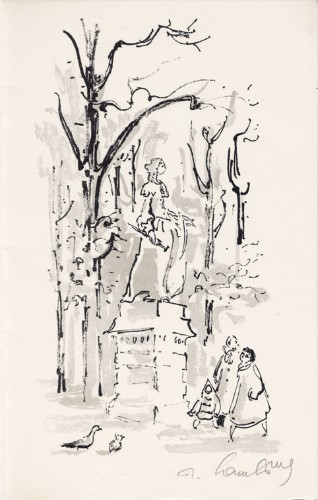
Hambourg, André
André Hambourg : carte de voeux pour 1958 et lithographie originale
1958 Carte de voeux de André Hambourg pour 1958. 22,5 x 14 cm, 2 ff., en page 3 une lithographie originale en noir et gris, signée à la mine de plomb, voeux imprimés en regard.
Référence libraire : 1473
|
|
|
Hamel, Sonja van
Groeten van het rode autootje - een reis in ansichtkaarten
, Harmonie, Uitgeverij De, 2017 Oorspronkelijk uitgevers omslag, 23.5 x 17 cm. ISBN 9789463360357.
Référence libraire : 66184
|
|
|
HAMMER-PURGSTALL (Joseph von), HELLERT (J.J., Trad.)
Histoire de l'Empire ottoman depuis son origine jusqu'à nos jours. Traduit de l'allemand sur les notes et sous la direction de l'auteur et par J. J. Hellert. & Nouvel atlas physique, politique, et historique de l'Empire Ottoman et des etats limitrophes en Europe, en Asie et en Afrique : en quarante feuilles, avec un beau plan topographique de la ville actuelle de Constantinople, plusieurs plans des villes les plus importantes de l'Empire, et ceux des sieges et batailles memorables soutenus par les Ottomans...
Paris, Bellizard, Barthes, Dufour et Lowell ; Londres, Bossange, Barthes et Lowell ; Saint-Petersbourg, Fd. Bellizard et Cie, 1835-1844. 18 volumes de texte in-8 et un atlas in-folio. TEXTE : 18 volumes in-8, relié demi basane et coins moderne, dos lisse orné avec pièces d’auteur, titre et tomaison noires, frottements et épidermures, défauts d’usage, rousseurs dans le texte, tampon et étiquette du relieur. ATLAS : Paris. Bellizard, Dufour etc. 1844. Imprimé chez Thierry Frères. Demi basane et coins à long grain grenat, dos à nerfs avec titre et auteur, In-folio (520x345mm), IV-82pp.-40 planches, il est composé du Commentaire sur l’Atlas de l’Empire Ottoman, d'une liste des cartes, d'une carte générale de l'Empire Ottoman (690x550mm), de 22 cartes particulières (dont une sur 2 feuilles) (815x850), de 13 plans de batailles ou de siège, et de 4 plans de villes dont un grand plan dépliant de Constantinople (690x670mm), le plan de Vienne est en 2 états, par G. Heck et Plée et gravé par U. Muschani, roussurs éparses, 2 cartes uniformément brunies avec réparations, mouillure claire en marge, tache sur les 16 premiers feuillets en tête et en fin d’ouvrage en pied. Provenance : collection de S.A.R. le Prince Osman Ibrahim d'Égypte (1951-2025), fils de S.A.R. le Prince Amr Ibrahim d'Égypte et de S.A.I. la Princesse Nejla Hibetullah Sultan (Necla Osmanoğlu) de Turquie, petite-fille du dernier calife Abdulmejid II et du sultan Mehmed VI, avec sa marque au tampon.
Référence libraire : PHO-1982

|
|
|
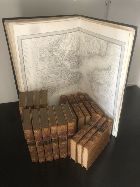
HAMMER-PURGSTALL (Joseph von), HELLERT , J.J.
Histoire de l'Empire ottoman depuis son origine jusqu'à nos jours. Traduit de l'Allemand sur les notes et sous la direction de l'Auteur et par J. J. Hellert.
Paris, Bellizard, Barthes, Dufour et Lowell ; Londres, Bossange, Barthes et Lowell ; Saint-Petersbourg, Fd. Bellizard et Cie, 1835-1841. 18 volumes de texte in-8 et un atlas in-folio TEXTE : 18 volumes in-8, relié plein cuir tacheté époque, dos lisse orné avec pièce de titre rouge et auteur et tomaison vertes, filet sur les plats, adhésif, frottements, défauts d'usage .., rousseurs dans le texte. ATLAS : Paris. Bellizard, Dufour etc. 1844. Imprimé chez Thierry Frères. Reliure époque, dos lisse. Grand in-folio (555x375mm) il est composé d'un titre, d'une listes des cartes, d'une carte générale de l'Empire Ottoman avec les contours aquarellés (690x550mm), de 21 cartes particulières (dont une sur 2 feuilles et 2 à double page dépliantes représentant les états de l'empire ottoman et les états limitrophes (845x590mm et 845x545), de 13 plans de batailles ou de siège, et de 3 plans de villes dont un grand plan dépliant de Constantinople (690x670mm) par G. Heck et Lon. Plée et gravée par U. Muschani. Reliure avec défauts, réparation au dos, fente intérieure, petite mouillure angulaire, une carte et un feuillet détaché
Référence libraire : PHO-1099
|
|
|
Hammerton, J. A. (editor)
Countries of the World : Volume 1 : Abyssinia to Bengall
No marks or inscriptions. No creasing to covers or to spine. Contents excellent. A very clean very tight copy with bright unmarked slightly irregularly sunned boards, rubbing to ends of and small scratch to spine and no bumping to corners. 724pp. With a ten page introduction by Joseph Conrad, this very well-researched and well-wrtten account of the countries and cities across the world tells us what our world was like 100 years ago with nearly 700 photographic illustrations including about 200 in full colour or photogravure. Undated ca 1923. A heavy book.

|
|
|
Hammerton, J. A. (editor)
Countries of the World : Volume 3 : Constantinople to Iceland
No marks or inscriptions. No creasing to covers or to spine. Contents excellent. A very clean very tight copy with bright unmarked slightly irregularly sunned boards, minor rubbing to ends of spine and no bumping to corners. 1453-2180pp. A very well-researched and well-wrtten account of the countries and cities across the world which tell us what our world was like 100 years ago with nearly 700 photographic illustrations including about 200 in full colour or photogravure. Undated ca 1923. A heavy book.

|
|
|
Hammerton, J. A. (editor)
Countries of the World : Volume 4 : India to New Orleans
No marks or inscriptions to contents. No creasing to covers or to spine. Contents excellent. A very clean very tight copy with bright slightly marked slightly irregularly sunned boards, minor rubbing to ends of spine and no bumping to corners. 2181-2908pp. A very well-researched and well-wrtten account of the countries and cities across the world which tell us what our world was like 100 years ago with nearly 700 photographic illustrations including about 200 in full colour or photogravure. Undated ca 1923. A heavy book.

|
|
|
Hammerton, J. A. (editor)
Countries of the World : Volume 5 : New York to Siam
No marks or inscriptions. No creasing to covers or to spine. Contents excellent. A very clean very tight copy with bright unmarked slightly irregularly sunned boards, minor rubbing to ends of spine and no bumping to corners. Fold-out coloured maps of New York and Paris in the 1920s in excellent condition. 2909-3628pp. A very well-researched and well-wrtten account of the countries and cities across the world which tell us what our world was like 100 years ago with nearly 700 photographic illustrations including about 200 in full colour or photogravure. Undated ca 1923. A heavy book.

|
|
|
Hammerton, J. A. (editor)
Countries of the World : Volume 6 : Siberia to Zanzibar
No marks or inscriptions. No creasing to covers or to spine. Contents excellent. A very clean very tight copy with bright unmarked slightly irregularly sunned boards, minor rubbing to ends of spine and no bumping to corners. Fold-out coloured maps of the World in the 1920s in excellent condition. 3629-4348pp. A very well-researched and well-wrtten account of the countries and cities across the world which tell us what our world was like 100 years ago with nearly 700 photographic illustrations including about 200 in full colour or photogravure. Undated ca 1923. A heavy book.

|
|
|
Hammond, Reginald J W
The Isle of Wight : Red Guide
No marks or inscriptions. No creasing to covers or to spine. Very clean very tight pages with bright unmarked boards, a little foxing to page edges and end papers and no bumping to corners. Front map slighlty torn, others in excellent condition. 160pp. Red Guide to the Isle of Wight. We do not use stock photos, the picture displayed is of the actual book for sale. Every one of our books is in stock in the UK ready for immediate delivery.

|
|
|
Hammond, Reginald J W (editor)
Colwyn Bay and North Wales : Red Guide
No marks or inscriptions. A very clean very tight copy with unmarked red cloth boards, a trace of foxing to top of page edges and no bumping to corners. Dust jacket not price clipped or marked or torn or creased. Fold-out maps in excellent condition. 192pp. Red Guide to North Wales covering Anglesey, Llandudno, Colwyn Bay, Conway, Bangor, Caernarvon, Rhyl and Betws-Y-Coed. Third Edition. We do not use stock photos, the picture displayed is of the actual book for sale. Every one of our books is in stock in the UK ready for immediate delivery.

|
|
|
Hammond, Reginald J W (editor)
The Isle of Man (Red Guide)
No marks or inscriptions. No creasing to covers or to spine. A very clean very tight copy with bright unmarked boards, very slightly tanned pages, very minor bump to spine foot and no bumping to corners. Dust jacket clipped but not price clipped and not marked or torn with a little rubbing to upper edge. Fold-out map in excellent condition. 128pp. Red Guide to the Isle of Man. Twelfth edition.

|
|
|
Hammond, Reginald James William
The Highlands of Scotland : Following Road, Rail and Steamer Routes with Tours from Each Centre
No marks or inscriptions. A very clean very tight copy with bright unmarked boards and tiny bump to lower front corner. Dust jacket not price clipped or marked with light creasing and some rubbing/nicks to edges. 160pp.

|
|
|
Handtke, F
General-Karte von Deutschland. - entworfen und gezeichnet von F. Handtke. Verhältniss 1:1791000
Glogau, C. Flemming Verlag, 1849. in 20 lithogr. Segmenten mit Grenzkolorit auf Leinwand. Original-Faltkarte, gefaltet 8°
Référence libraire : 12988

|
|
|
Handtke, F
Reise-Karte von Deutschland.und den Nachbar-staaten bis Kopenhagen, Dover, Paris, Lyon, Turin, Ferrara, Budapest, Debreczin, Lublin, Grodno, Tauroggen. - entworfen und gezeichnet von F. Handtke. Verhältniss 1: 500.000
Glogau, C. Flemming Verlag o.J., circa, 1890. Neueste revidierte Ausgabe. in 52 lithogr. Segmenten mit Grenzkolorit auf Leinwand. (ziegelroter) OLwd.-Einband, Original-Faltkarte, gefaltet 8°
Référence libraire : 15148

|
|
|
Handtke, F. (Bearb.)
Provinz Pommern. 1 : 520.000.
Berlin u. Glogau, Flemming, o. J. (um 1890?). Farblithogr., 75 x 50 cm mit kl. Nebenkarte von Stettin unten links. In Segmenten auf Leinen aufgezogen. Gefaltet. In OLn., h (Carl Flemmings Generalkarte No. 6).
Référence libraire : 45552AB

|
|
|
Hanigan, Des
Cornwall and the Isles of Scilly
No marks or inscriptions. No creasing to covers or to spine. A lovely clean very tight copy with bright unmarked boards and no bumping to corners. 128pp.

|
|
|
Hannon - Revue libanaise de géographie
Hannon - Recueil des travaux du département de géographie Volume VII - 1972 - Sommaire : Etudes libanaises : "Les précipitations exceptionnelles de Décembre 1968 et janvier 1969 au Liban" (G. BLANCHET) - "Sur la nature de l'horizon B dans les sols rouges méditerranéens du Liban-Sud" (W. VERHEYE) - "Rivages marins du Günz-Mindel dans la région d'Enfé (Liban-Nord)" (R. DALONGEVILLE et P. SANLAVILLE) - "Tableaux et Préhistoire libanaise (1ere partie)" (J. BESANÇON, L. COPELAND et F. HOURS) - Etudes Moyen-Orientales : "Une spéculation originale : l'astrakhan en Afghanistan" (D. BALLAND) - "Contribution à l'étude des bioclimats et de la végétation naturelle en Turquie" (I. NAHAL) - Documentation Géographique : "Exploration de la résurgence de nabaa el Labane" ( A. MAROUN, M. MAJDALANI, A. COMATY) - "Documents de cartographie antique (II) : l'époque romaine" (O. AURENCHE) - "La cartographie arabe jusqu'au Xème siècle" (KAHWAJI) - Notes : "Chroniques cartographique" (N. KANAAN-ATALLAH) - "Traduction en langue arabe des résumés" (Mme I. MAKKI)
1972 Université Libanaise Faculté des Lettres 1972 - In-8 broché - 184 pages
Référence libraire : 82010
|
|
|
Hansa Rundfahrt GmbH
Rundfahrt-Führer durch Hamburg - Circular-Drives through Hamburg
Hamburg, Norddeutsche Buchdruckerei ca 1922. 36 S., Faltkarte, 22cm Karton 0
Référence libraire : 77553

|
|

 Recevoir par e-mail
 Télécharger en PDF
 Flux RSS
 Lien permanent


