|
LAUN (Dr.)
Petits jeux de salons et patiences. Recueil de jeux de cartes à banque et sans banque que l'on peut jouer en famille et nouvelles patiences
Paris, Delarue, s.d. (c.1909), in-12, 150, 32pp, toile grise, couverture illustrée collé sur le premier plat, Quelques figures dans le texte 150, 32pp.
Riferimento per il libraio : 27146
|
|
|
LAURENT Claude-Marcel
Tous les jeux de dés. Tous les jeux et leurs règles.
Paris, Bornemann, 1967. 13 x 18, 40 pp., broché, très bon état.
Riferimento per il libraio : 26584
|
|
|
LAUN
TRAITE DE L'ECARTE
1950 broché (paperback) in-octavo, dos muet marron (spine - no title) - petit manque de papier sur le dos (small lack of paper on the spine), couverture imprimée (cover printed), tranches lisses (smooth edges), illustrations : orné d'un (illuminated of) front-de-chapitre (headpiece) de lettrines (dropped initials) et de culs-de-lampe (tailpieces), naissances de rousseurs (beginning of the redness marks) et cicatrices de mouillures en lisière de queue (scars of waterstains in bottom of the pages), 59 pages, sans date (no date) les années 1930 environ - à Paris Delarue Libraire-Editeur,
Riferimento per il libraio : 11378
|
|
|
LAURIE, (ROBERT) & (JAMES) WHITTLE.
New Travelling Map of Sweden Proper, Gothland, &c. Exhibiting the Admeasured Distances, On all the Principal and Cross Roads, In Quarters of a Swedish Mile.
London, Rob. Laurie and Ja. Whittle, 1807. 62x49,5 cm. Kobberstukket kort over Sverige med Sundet og til Gävle og Fahlun i nord, Gotland og den Botniske Bugt i øst. I smuk original helkolorering. Rent frisk eksemplar trykt på kraftigt papir.
|
|
|
LAURO Giacomo (1561-1645/50)
Roma Antiqua Triumphatrix
Pianta archeologica di Roma incisa da Giacomo Lauro e pubblicata dalla tipografia de Rossi.In alto al centro il titolo e l’imprint editoriale ROMA ANTIQUA TRIUMPHATRIX AB ANTIQUIS MONUMENTIS ET RERUM GESTARUM MEMORIIS ERUTA HICA IACOBO LAURO ROMANO AUCTORE ET SCULPTORE GRAPHICE EXPRESSA. Io. Iacobus de Rubeis formis Romae ad Templu[m] Pacis cu[m] Priv. S. Pont. In basso al centro Romae Cum Privilegio Summi Pontificis. A destra e sinistra della carta una lunga legenda numerica di 279 rimandi a luoghi e monumenti notabili e due piccole mappe. La carta è circondata da un testo inciso e da venti vignette che simboleggiano momenti significativi nella storia antica della città. Carta priva di orientazione. Acquaforte e bulino, mm 482x736.La carta è circondata da un testo inciso e da venti vignette che simboleggiano momenti significativi nella storia antica della città, mentre due piccole mappe raffigurano i sette colli sui quali sorge Roma. Incerta è la datazione della stessa, che il Frutaz colloca tra il 1612 e prima del 1650. Cartograficamente ispirata a quella realizzata da Etienne Duperac nel 1574, la pianta venne pubblicata da Giacomo de Rossi tra il 1649 e il 1677, anno in cui viene elencata nel celebre Indice della stamperia De Rossi.Acquaforte e bulino, impressa su carta vergata coeva, con margini, colori coevi, lieve restauro con parziale perdita di testo in basso al centro, nel complesso in eccellente stato di conservazione.BibliografiaArrigoni-Bertarelli (1930): p. 10, n. 77; Christie’s (1998): n. 1034; Frutaz (1962): p. 72, n. XXVII, Tavv. 59-61; Hülsen (1915): XXIII, p. 86, n. 107; Iusco. Indice delle stampe de' Rossi, p. 379 (p.16 c.2); Scaccia Scarafoni (1939): pp. 32-33, n. 32. The bird's-eye view of ancient Rome by Giacomo Lauro was derived from Etienne du Pérac's large view of Rome.Printed from two separate plates on two sheets subsequently joined at vertical edges. List of buildings and sites numbered 1-279, keyed to view. At outer margin is a band of 16 engraved scenes from Roman history interspersed with 20 numbered explanatory texts. Heads of the 7 kings of Rome appear at upper left, heads of the 12 Caesars at upper right. Title and imprint at top center. Oriented with east at top.In marginal text, Lauro refers to his Antiquae urbis splendor (published 1612), so the view must have been engraved between that date and his death in 1650. This span is narrowed by the probability that the present view is that signed by Lauro in 1635. It must have been published by Giovanni Giacomo de Rossi between the beginning of his publishing activity in 1649 and the 1677 index of his publications whichincludes this view.Etching with engraving, printed on contemporary laid paper, with margins, contemporary colour, light repair with the loss of part of the text on lower part, otherwise in excellent condition.LiteratureArrigoni-Bertarelli (1930): p. 10, n. 77; Christie’s (1998): n. 1034; Frutaz (1962): p. 72, n. XXVII, Tavv. 59-61; Hülsen (1915): XXIII, p. 86, n. 107; Iusco. Indice delle stampe de' Rossi, p. 379 (p.16 c.2); Scaccia Scarafoni (1939): pp. 32-33, n. 32.

|
|
|
LAURO Giacomo (1561-1645/50)
Urbis Romae Novissima Delineatio
Piccola pianta di Roma proiezione obliqua, orientata col nord a sinistra. "E' evidente la derivazione di questa pianta da quella più grande del Florimi, come giustamente rilevato dalla Jatta nel catalogo Roma Veduta. In basso a sinistra si legge Romae Anno 1618 cum privilegio Summi POntifici ed a destra: Jacobus Laurus f. Sul margine inferiore una legenda di 95 numeri che prosegue nel cartiglio in alto a destra fino al n. 121" (cfr. Marigliani, p. 185). Tuttavia, ci sembra improbabile che sia derivazione del Florimi - che, tra l'altro, comprende una legenda di soli 86 numeri di legenda. Sembra più probabile la derivazione con le piante incise da Ambrogio Brambilla per il Franzini prima e per Nicola van Aelst poi (1590). Pianta tratta dall'Antiquae Urbis Splendor di Giacomo Lauro, opera per la prima volta pubblicata nel 1612, importante e ricercata raccolta di vedute e antichità romane, rappresenta il più importante lavoro del Lauro e godette di una incredibile fortuna. L'opera interamente illustrata con sintetici testi didascalici sulle bellezze e gli splendori di Roma antica e Roma moderna venne ristampata ed accresciuta. Le edizioni posteriori fanno sempre riferimento alla data di pubblicazione del 1612. La data e lo stampatore sono però dedotti dalla dedica di Giovanni Alto (jan Alten) da Lucerna, curatore del volume, ai lettori. Acquaforte e bulino, stampata su carta vergata coeva, in ottimo stato di conservazione. Bibliografia Frutaz n. 26; Scaccia Scarafoni n. 180; Huelsen 49; Roma Veduta n. 22; Marigliani p. 185, n. 90. Small map of Rome with an oblique projection, oriented with the north on the left. It is evident the derivation of this map from the larger one of Florimi, as rightly noted by Jatta in the catalog Roma Veduta. In the lower left corner it reads Romae Anno 1618 cum privilegio Summi POntifici and on the right: Jacobus Laurus f. On the lower margin a legend of 95 numbers that continues in the cartouche in the upper right up to n. 121" (cf. Marigliani, p. 185). However, it seems unlikely to us that it is a derivation of the Florimi - which, by the way, includes a legend of only 86 numbers. It seems more likely to be derived from the maps engraved by Ambrogio Brambilla for Franzini first and then for Nicola van Aelst (1590). The map is taken from Antiquae Urbis Splendor by Giacomo Lauro, a work published for the first time in 1612, an important and sought-after collection of Roman views and antiquities, it represents Lauro's most important work and enjoyed an incredible fortune. The work, entirely illustrated with concise didactic texts on the beauties and splendors of ancient and modern Rome, was reprinted and enlarged. Later editions always refer to the date of publication of 1612. The date and the printer are however deduced from the dedication of Giovanni Alto (jan Alten) from Lucerne, editor of the volume, to the readers. Etching and engraving, printed on contemporary laid paper, in excellent condition. Literature Frutaz n. 26; Scaccia Scarafoni n. 180; Huelsen 49; Roma Veduta n. 22; Marigliani p. 185, n. 90.

|
|
|
LAVALLÉE (Joseph) & BRION de la TOUR (Louis).
[SARTHE] Département de la Sarte, ci-devant partie du Maine et de l'Anjou.
[Paris, Brion, 1793]. 170 x 212 mm.
Riferimento per il libraio : LBW-8056

|
|
|
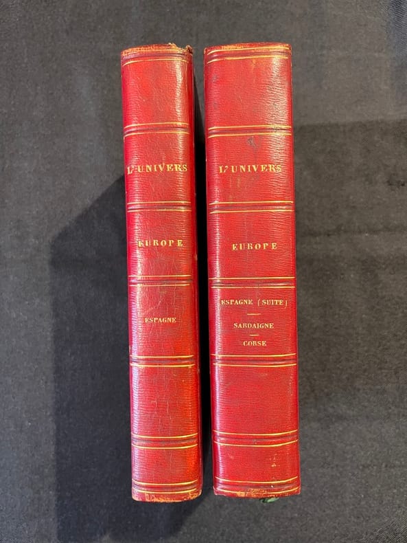
LAVALLEEE Jospeh; GUÉROULT Adolphe:
Espagne [et] Espagne depuis l'expulsion des Maures jusqu'à l'année 1847. Îles baléares et pithyuses par M. Frédéric Lacroix. Sardaigne, par M. le président de Grégory. Corse par M. Friess de Colonna.
Paris, Firmin Didot frères, 1844 et 1847. 2 volumes in-8 de [4]-507-[1] et [4]-412-[1]; 27-[1]; 49-[1]; 144 pages,demi-chagrin rouge, dos lisse orné de filets dorés.
Riferimento per il libraio : 21053
|
|
|
LAVERRIERE (C. L.).
Pensionnat de N.-D. de Bellegarde.
Neuville-sur-Saône, 1876. 470 x 750 mm ; monté sur carton.
Riferimento per il libraio : LBW-8946

|
|
|
Lavoisne (CV). C V
LAVOISNE'S COMPLETE GENEALOGICAL HISTORICAL CHRONOLOGICAL AND GEOGRAPHICAL ATLAS
London: Printed and Published By J. Barfield 1840. Book. Very Good. Hardcover. Fourth Edition. Folio 30 x 46cm. "Revised Collated and Considerably Enlarged by John Satchell Esq." Seventy-four double-page engraved genealogical tables and geographical maps all with original hand colouring contemporary . half black morocco gilt with green cloth boards. Binding good with some general wear and rubbing leather chipped with loss to the base of the spine joints rubbed but still strong corners worn. All edges gilt./ Contents clean and tight contemporary ink stain effecting the fore-edges of the first few pages but not affecting text or maps most noticeable to the front end papers with also have a pencil inscription dated 30 November 1935. All maps and charts in very good condition. Notwitstanding wear to the binding a very good copy. Printed and Published By J. Barfield Hardcover
Riferimento per il libraio : 018232
|
|
|
Lawrence, T E; 54 b/w Illustrations, 4 b/w Maps / Plates [Illustrator]
Seven Pillars of Wisdom
Doubleday Doran & Company. hardcover. Good. 0x0x0. states "first publication for general circulation 1935" yet title page states 1936 - Doubleday Doran hard cover - red cloth cover - no dust jacket - 1 1/2 inch cut at binding - some staining to cover and closed page edge - gift inscription inside front cover - owner's label inside front cover - a number of illustrations throughout - dingins trong contents clean - enjoy Doubleday, Doran & Company hardcover
Riferimento per il libraio : 2308220004
|
|
|
Lawrence, Hal
A Bloody War - One Man's Memories of The Canadian Navy 1939-45
183 pages. From a tug in Halifax Harbour to a destroyer in Norwegian fiords, from the balmy Caribbean to the frozen reaches of Murmansk, Hal Lawrence spins an engaging personal account of a young man growing up at sea. Author commemorates with genuine affection the dedicated men with whom he served and the fighting navy which shaped them. Includes numerous interesting black and white photographic plates. Endpapers decorated with maps. Book clean and unmarked with light wear. Average wear to dust jacket. Very nice copy. Book
|
|
|
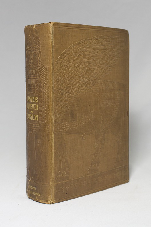
LAYARD AUSTEN H:
Discoveries in the Ruins of Nineveh and Babylon; with Travels in Armenia, Kurdistan and the Desert: Being the Result of a Second Expedition undertaken for the Trustees of the British Museum.
London, John Murray, 1853. In-8 deXXIII-[1]-686-[2] pages, pleine percaline chocolat estampée d'un beau motif babylonien. Menues rousseurs. Etiquette des relieurs Remnants & Edmonds.
Riferimento per il libraio : 14311
|
|
|
LAZARE (Louis) & LEFEBVRE.
[BOIS de BOULOGNE] Service municipal des promenades et plantations de Paris. Plan du bois de Boulogne et de ses dépendances. Janvier 1856.
Paris, Kaeppelin, 1856. En 21 sections montées sur toile et repliées, formant un plan de 371 x 552 mm ; sous chemise et étui de papier moiré vert de l'époque (132 x 85 mm), avec étiquette de titre sur le premier plat.
Riferimento per il libraio : LBW-8956

|
|
|
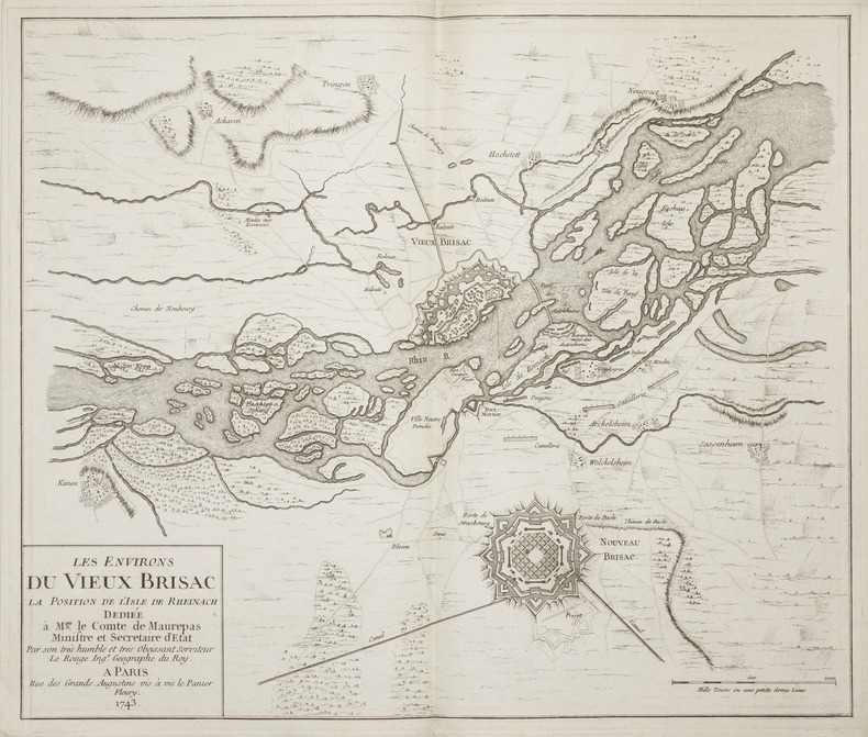
LE ROUGE (Georges-Louis).
[ALSACE/NEUF-BRISACH] Les environs du Vieux Brisac la position de l'isle de Rheinach.
Paris, 1743. 464 x 550 mm.
Riferimento per il libraio : LBW-2289
|
|
|
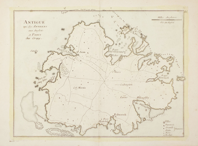
LE ROUGE (Georges-Louis).
[ANTIGUA] Antigue une des Antilles aux Anglois.
Paris, Crépy, [1767]. 217 x 283 mm.
Riferimento per il libraio : LBW02495
|
|
|
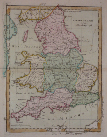
LE ROUGE (Georges-Louis).
[ANGLETERRE] L'Angleterre.
[Paris, Crépy, 1767]. 285 x 215 mm.
Riferimento per il libraio : LBW03d7a
|
|
|
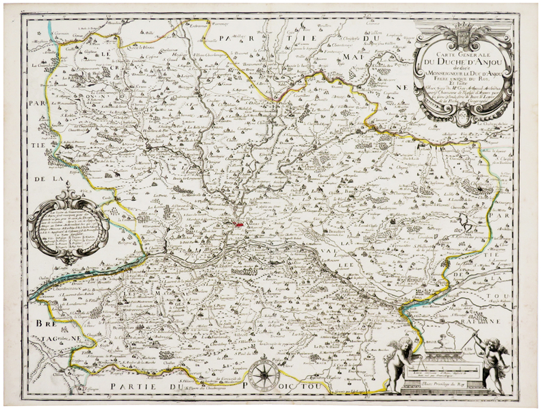
LE LOYER (Jean).
[ANJOU] Carte générale du duché d'Anjou.
1654. 412 x 532 mm.
Riferimento per il libraio : LBW-2680
|
|
|
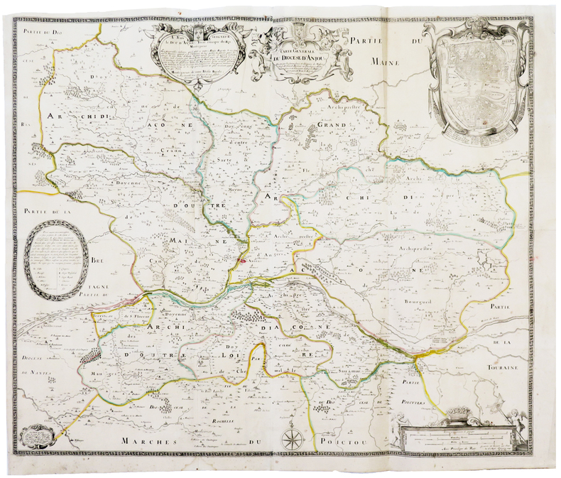
LE LOYER (Jean).
[ANJOU] Carte générale du diocèse d'Anjou.
1652. En quatre feuilles jointes formant une carte de 633 x 757 mm.
Riferimento per il libraio : LBW-3691
|
|
|
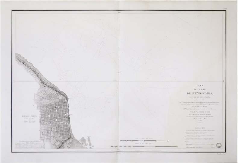
LE BOURGUIGNON-DUPERRÉ (Cyprien-Gabriel).
[ARGENTINE/BUENOS-AIRES] Plan de la rade de Buenos-Ayres, dans le Río de la Plata.
[Paris], Dépôt-Général de la Marine, 1833. 598 x 887 mm.
Riferimento per il libraio : LBW-8751
|
|
|
LE ROUGE (Georges-Louis).
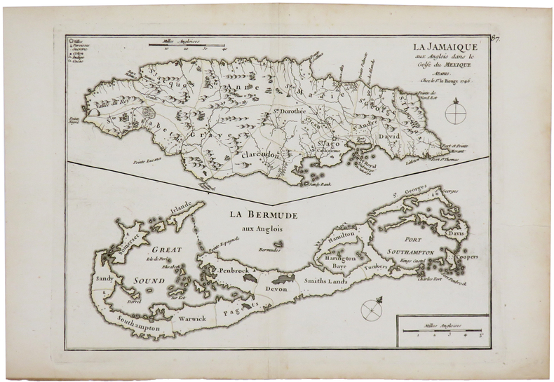
[BERMUDES/JAMAIQUE] La Jamaique aux Anglois dans le golfe du Mexique - La Bermude aux Anglois.
1746. 202 x 270 mm.
Riferimento per il libraio : LBW02494
|
|
|
LE BRETON (Louis).
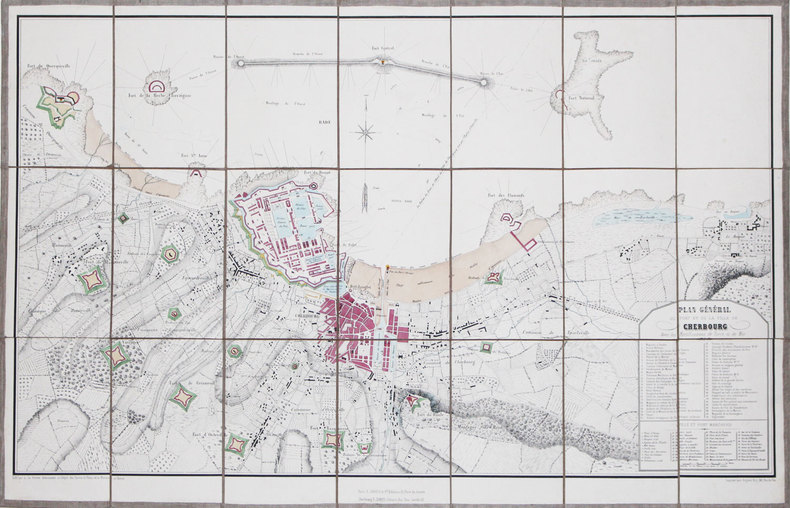
[CHERBOURG] Plan général du port et de la ville de Cherbourg avec les fortifications de terre et de mer.
Cherbourg, F. Simon, [circa 1850]. En 21 sections montées sur toile et pliées, formant un plan de 498 x 785 mm.
Riferimento per il libraio : LBW-3160
|
|
|
LE ROUGE (Georges-Louis).
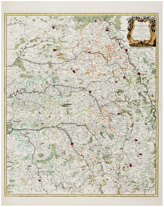
[CHAMPAGNE] La Champagne divisée par élections suivant les dernières observations.
Paris, Sr. Le Rouge, 1744. 577 x 483 mm.
Riferimento per il libraio : LBW-6185
|
|
|
LE ROUGE (Georges-Louis).
[EGYPTE] L'Egypte.
Paris, Sr. Le Rouge, 1743. 280 x 211 mm.
Riferimento per il libraio : LBW01b50
|
|
|
LE BRETON (Louis).
[EQUATEUR] Guayaquil.
Paris, [circa 1860]. 122 x 172 mm.
Riferimento per il libraio : LBW-1188
|
|
|
LE ROUGE (Georges-Louis).
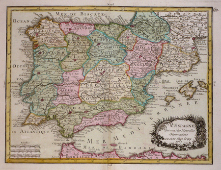
[ESPAGNE] L'Espagne suivant les nouvelles observations.
[Paris, Crépy, 1767]. 196 x 257 mm.
Riferimento per il libraio : LBW03d1a
|
|
|
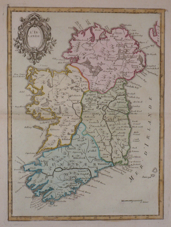
LE ROUGE (Georges-Louis).
[IRLANDE] L'Irlande.
[Paris, Crépy, 1767]. 280 x 207 mm.
Riferimento per il libraio : LBW03d85
|
|
|
LE MAÎTRE.
[JEU de l'OIE] L'Histoire Romaine depuis Constantin jusqu'à Charles-Magne réduite en jeu pour l'instruction de la jeunesse.
Paris, Crépy, [1773]. 506 x 716 mm.
Riferimento per il libraio : LBW-8533

|
|
|
LE MAÎTRE.
[JEU de l'OIE] L'Histoire Romaine depuis la fondation de Rome jusqu'à Constantin.
Paris, Crépy, 1773. 510 x 720 mm.
Riferimento per il libraio : LBW-8535

|
|
|
LE BRETON (Louis).
[LIVOURNE] Guerre d'Italie. Livourne. Débarquement d'une armée française commandée par le Prince Napoléon. Mai 1859.
Paris, Gosselin, et Lyon, Gadola, [1859]. 237 x 298 mm.
Riferimento per il libraio : LBW-8840

|
|
|
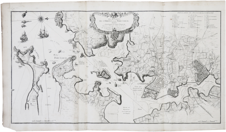
LE ROUGE (Georges-Louis).
[LORIENT & PORT-LOUIS] Les Environs de l'Orient et du Port Louis.
Paris, Le Rouge, [1752]. En deux feuilles jointes formant une carte de 473 x 880 mm.
Riferimento per il libraio : LBW-7391
|
|
|
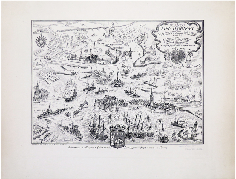
LE CONTE (Pierre).
[LORIENT] Plan du lieu d'Orient qui fut fondé en 1666 dans la lande du Faouédic par Messieurs de la Compagnie des Indes Or.les. Gravé en l'honneur du 250e anniversaire de l'accession de Mgr le Marquis de Seignelay à la Présidence du Conseil d'Administration, avec la citadelle de Port-Louis, la rade de Pen-Mané et toute la région avoisinante.
Cherbourg, chez l'auteur, 1933. 335 x 446 mm.
Riferimento per il libraio : LBW-8026
|
|
|
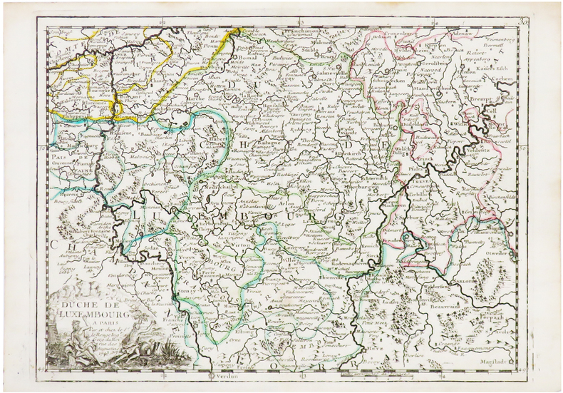
LE ROUGE (Georges-Louis).
[LUXEMBOURG] Duché de Luxembourg.
[1756]. 203 x 274 mm.
Riferimento per il libraio : LBW-1195
|
|
|
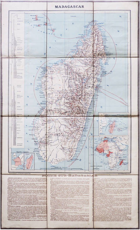
LE SOUDIER (Henri).
[MADAGASCAR] Madagascar.
Paris, H. Le Soudier, [1894]. En 12 sections montées sur toile et repliées, formant une carte de 644 x 387 mm ; étiquette au dos portant le titre.
Riferimento per il libraio : LBW-7871
|
|
|
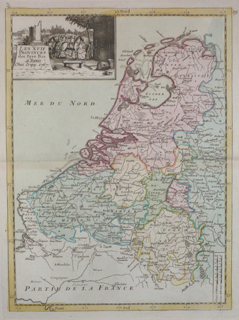
LE ROUGE (Georges-Louis);
[PAYS-BAS] Les XVII provinces des Pays-Bas.
Paris Crépy 1767 271 x 200 mm.
Riferimento per il libraio : LBW04185
|
|
|
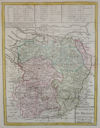
LE ROUGE (Georges-Louis);
[PAYS-BAS/BRABANT] Carte idéale du Brabant contenant les camps de 1746 et 1747.
Paris Crépy 1767 276 x 209 mm.
Riferimento per il libraio : LBW04187
|
|
|
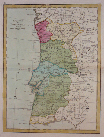
LE ROUGE (Georges-Louis).
[PORTUGAL] Royaume de Portugal.
[Paris, Crépy, 1767]. 275 x 207 mm.
Riferimento per il libraio : LBW03d89
|
|
|
LE BRETON (Louis).
[PORTO] Oporto (Portugal).
Paris, Gosselin, et Lyon, Gadola, [circa 1860]. 228 x 299 mm.
Riferimento per il libraio : LBW-8849

|
|
|
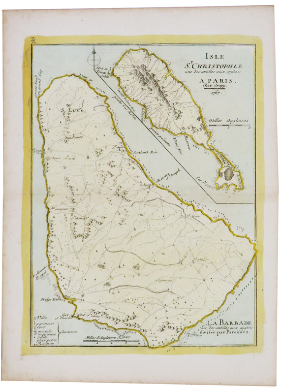
LE ROUGE (Georges-Louis).
[SAINT KITTS/BARBADE] Isle St. Christophle une des Antilles aux Anglois - La Barbade une des Antilles aux Anglois divisée par paroisses.
[1746]. 271 x 202 mm.
Riferimento per il libraio : LBW02493
|
|
|
LE ROUGE (Georges-Louis).
[SAINT-DOMINGUE] Isle de St. Domingue.
[1743]. 206 x 276 mm.
Riferimento per il libraio : LBW024a6

|
|
|
LE ROUGE (Georges-Louis).
[SAVOIE] Le Duché de Savoye suivant les nouvelles observations.
Paris, Basset, 1777. 620 x 497 mm ; repliée sous couverture cartonnée recouverte de papier bleu de l'époque (203 x 127mm) ; étiquette sur le premier plat portant le titre manuscrit à l'encre.
Riferimento per il libraio : LBW-8448

|
|
|
LE ROUGE (Georges-Louis);
[SILESIE] Le duché de Silésie divisé en XVII principautées.
Paris Sr. Le Rouge 1743 202 x 263 mm.
Riferimento per il libraio : LBW0252a

|
|
|
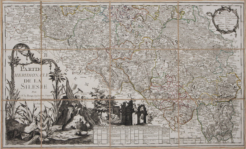
LE ROUGE (Georges-Louis).
[SILESIE] Partie méridionale de la Silésie.
1758. En 12 sections montées sur toile et pliées, formant une carte de 464 x 764 mm.
Riferimento per il libraio : LBW-3149
|
|
|
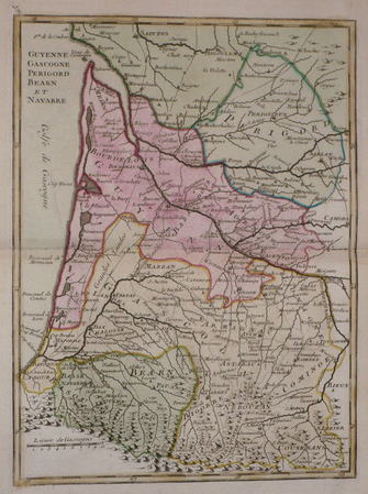
LE ROUGE (Georges-Louis).
[SUD-OUEST] Guyenne, Gascogne, Périgord, Béarn et Navarre.
[Paris, Crépy, 1767]. 277 x 205 mm.
Riferimento per il libraio : LBW03d82
|
|
|
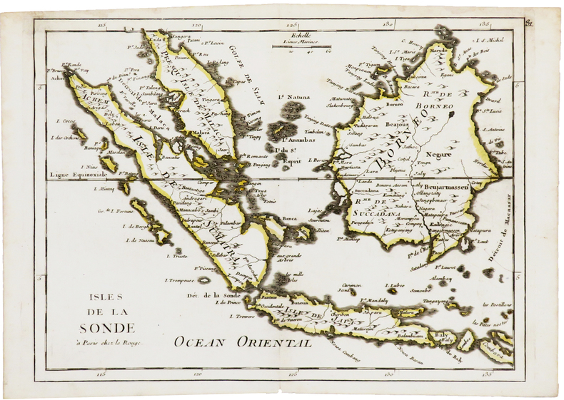
LE ROUGE (Georges-Louis).
[SUMATRA/JAVA/BORNEO] Isles de la Sonde.
Paris, Le Rouge, [1746]. 218 x 286 mm.
Riferimento per il libraio : LBW03d87
|
|
|
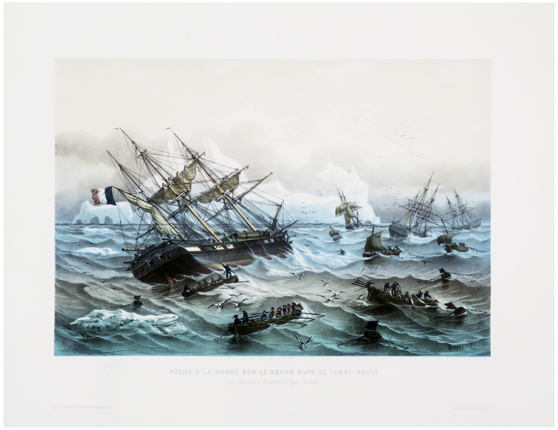
LE BRETON (Louis).
[TERRE-NEUVE] Pêche à la morue sur le Grand Banc de Terre-Neuve. Les embarcations élongeant les lignes.
Paris, F. Sinnett, [circa 1845]. 370 x 501 mm.
Riferimento per il libraio : LBW-8047
|
|
|
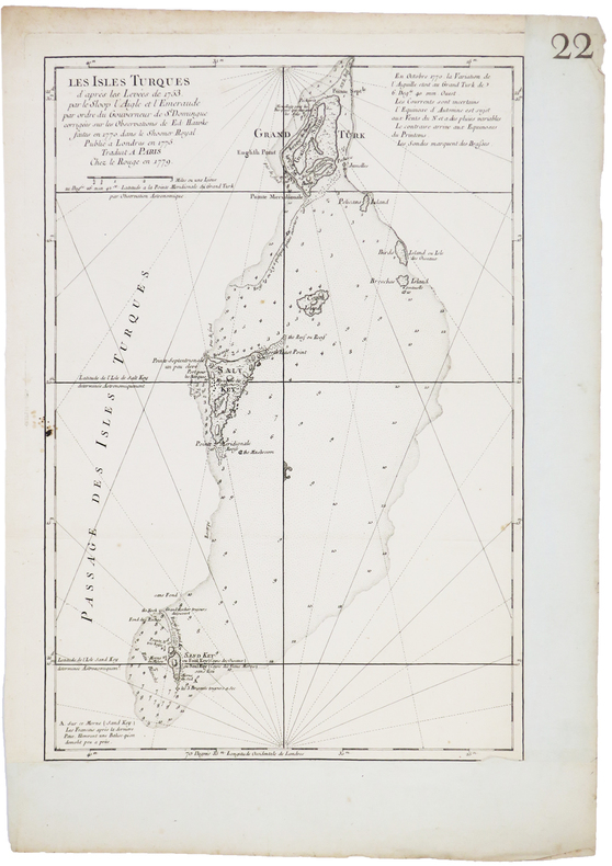
LE ROUGE (Georges-Louis).
[ÎLES TURKS] Les Îles Turques d'après les levées de 1753 par le sloop l'Aigle et l'Émeraude par ordre du gouverneur de St. Domingue corrigées sur les observations de Ed. Hawke faites en 1770 dans le shooner royal. Publié à Londres en 1775. Traduit à Paris.
Paris, Le Rouge, 1779. 450 x 304 mm.
Riferimento per il libraio : LBW-5241
|
|
|
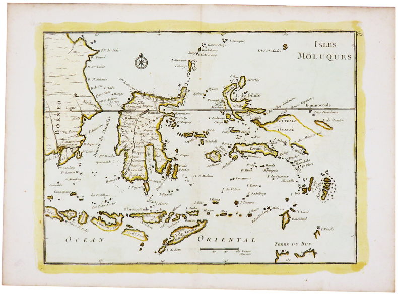
LE ROUGE (Georges-Louis).
[ÎLES MOLUQUES] Isles Moluques.
[1746]. 218 x 286 mm.
Riferimento per il libraio : LBW-5440
|
|
|
LE ROUGE (Georges-Louis).
Amérique méridionale.
1743. 207 x 275 mm.
Riferimento per il libraio : LBW02489
|
|
|
LE ROUGE (Georges-Louis).
ARTOIS, PICARDIE.
[Paris, Crépy, 1767]. 211 x 279 mm.
Riferimento per il libraio : LBW03d7c
|
|

 Ricevere i risultati per e-mail
 Scaricare i risultati in PDF
 RSS feed
 Link
Link


