|
|
|
MARTIN (Philippe).
Carte de voeux illustrée d'une gravure originale signée.
Paris Société des peintres-graveurs français 2001 1 vol. Broché Carte de voeux dépliante sur Arches illustrée d'une alugraphie en couleurs (16 x 22 cm) signée par Philippe Martin. En parfait état.
书商的参考编号 : 109099
|
|
|
MARTIN (Philippe).
Carte de voeux illustrée d'une gravure originale signée.
Paris Société des peintres-graveurs français 2001 1 vol. Broché Carte de voeux dépliante sur Arches illustrée d'une alugraphie en couleurs (16 x 22 cm) signée par Philippe Martin. En parfait état.
书商的参考编号 : 109099
|
|
|
MARIN John
Etudes artistiques - Beaux-arts Art appliqué
Editions de l'Art décoratif 0 In-4 Demi-reliure à coins
书商的参考编号 : 014334
|
|
|
MARTI Victor
GAGS AVEC DES CARTES
1986 broché in-octavo, couverture jaune illustrée sur le recto, illustrations de lAuteur : 72 figures in-texte (38 effets-gags + 20 gags inédits), 43 pages, 1986 Strasbourg Editions du Spectacle,
书商的参考编号 : 5316
|
|
|
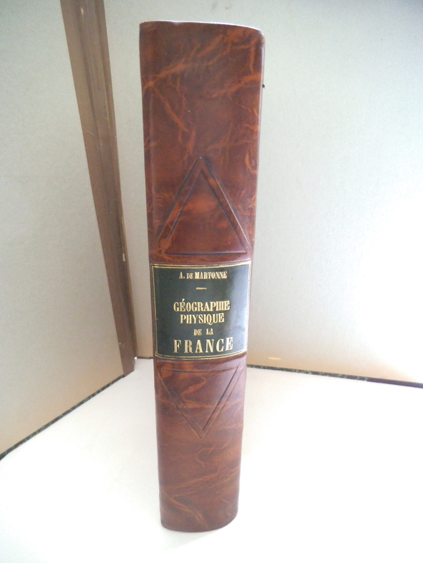
MARTONE A de
Géographie physique de la France.
In 4 demi- cuir marron raciné, pièce de titre cuir vert, filets à froid. Faux-titre, titre, 463 pages, nombreuses illustrations 167 cartes, figures, dans le texte144 photographies et une carte en couleurs hors-texte ; Librairie Armand Colin 1942. Très bon état
书商的参考编号 : 13333
|
|
|
MARTINY DE RIEZ G. Portraits et cartes coloriées.
Histoire illustrée de la guerre de 1870-1871 et de la guerre civile à Paris. Réflexions morales et politiques.
Couverture rigide. Reliure demi-basane rouge à nerfs. 406 pages. Nombreuses rousseurs.
书商的参考编号 : 147610

|
|
|
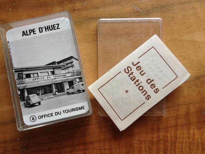
MAROBER Editeur. ( JEU de cartes ) Jeux Olympiques de 1968.
JEU DES STATIONS.
1969 Marober . France. Editeur ( juin 1969 ). Jeu de 64 cartes illustrées de photographies en noir et blanc des stations olympiques de 1968. ( Grenoble; Alpe d'Huez; Les Deux Alpes; Chamrousse ; Autrans; Villard de Lans; Val d'Isère; Pralognan ) . chaque station avec 8 vues différentes. bien complet de la règle du jeu . parfait état intérieur. édition simple ne comportant que les cartes , dans une boîte plastique transparente avec règle du jeu.
书商的参考编号 : 2413
|
|
|
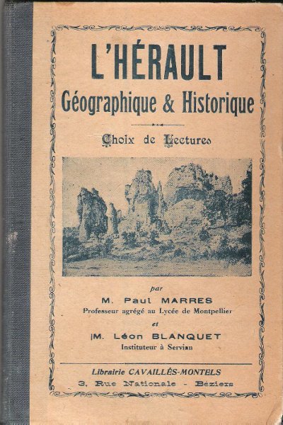
MARRES Paul , BLANQUET Léon
L'HERAULT Géographique & Historique : Choix De Lectures . Complet De ses Pages Dépliantes En Fin D'ouvrage
Béziers Librairie Cavaillès-Montels 0 In 16 Ancien livre d'école avec son dos en percaline . Complet de sa carte géologique dépliante et de ses cartes : historique et tableaux chronologiques . Illustré de photographies en noir et blanc . Cartes et plans . Régionalisme Languedoc . - 284 p. , 400 gr.
书商的参考编号 : 021706
|
|
|
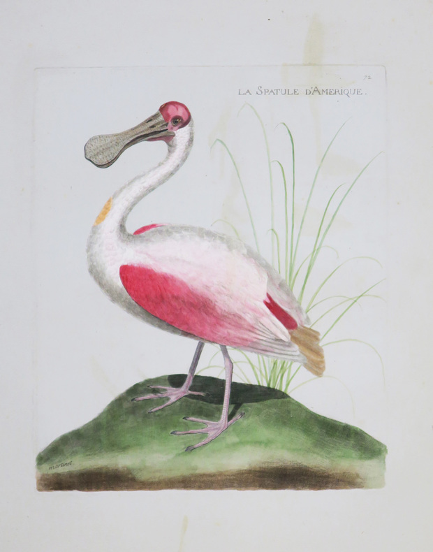
MARTINET (Alexandre).
La Spatule d'Amérique.
[Paris, circa 1795]. 228 x 201 mm.
书商的参考编号 : LBW-4361
|
|
|
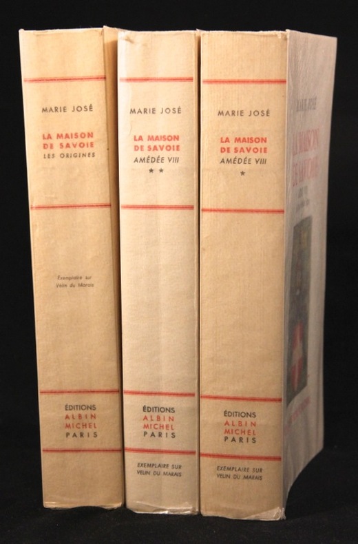
MARIE JOSE; CROCE Benedetto (préf.):
La maison de Savoie. Les origines. Le Comte Vert. Le Comte Rouge. Amédée VIII, le duc qui devint Pape.
Paris, Albin Michel, 1956 et 1962. 3 vol. in-8 brochés de 425-[4], 446-[2] et 373-[2] p., couvertures illustrées couleur. En parfait état, c'est à dire comme neufs, non coupés.
书商的参考编号 : 5921
|
|
|
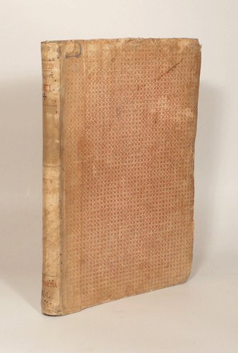
MARCOLINI (Francesco).
LE INGENIOSE SORTI composte per Francesco Marcolini da Forli. Intitulate Giardino di Pensieri, Novamente Ristampate, e in Novo et Bellissimo Ordine Riformate.
1550 Venise, Francesco Marcolini, juillet 1550. Petit in-folio (225 X 322) demi-vélin ivoire, plats de papier dominoté, auteur, titre, lieu d'édition et date calligraphiés au dos en rouge et noir (reliure XVIIIe) ; A-Z4, Aa-Cc4 : 104 feuillets. A partir des figures des philosophes (page 64) il est donné un même numéro pour deux pages. Nombreuses restaurations aux premiers feuillets, l'encadrement architectural du portrait de l'auteur est masqué par un feuillet de doublure, marges du feuillet 43/44 rognées.
书商的参考编号 : 003307
|
|
|
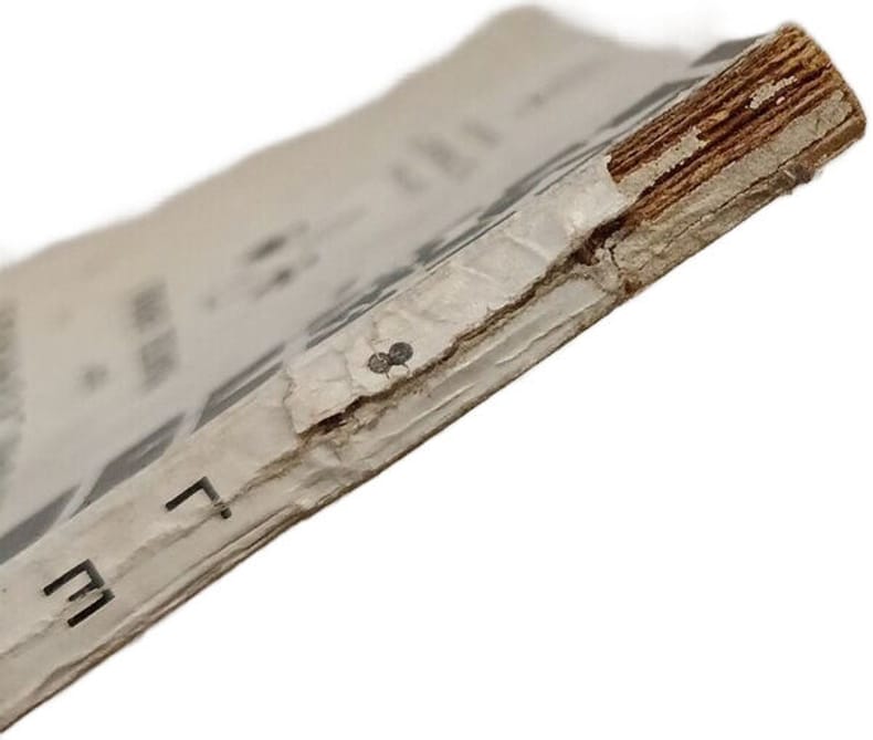
Marcel Boll
Le Bridge Plafond-Contrat
Le Triboulet 1944 in12. 1944. Broché. Il s'agit d'un manuel ou guide technique sur le jeu de bridge se concentrant spécifiquement sur les aspects du plafond et du contrat. Le livre fait partie de la collection "Nouvelle académie des jeux" et est une 8ème édition publiée par l'éditeur Le Triboulet à Monaco
书商的参考编号 : 100148198
|
|
|
Mariano VOLPI
MAGIE ET TOURS DE CARTES
Un ouvrage de 160 pages, format 110 x 175 mm, broché couverture couleurs, publié en 1989, Editions Sogemo, collection "Guides Pratiques Total", bon état
书商的参考编号 : LFA-126746280
|
|
|
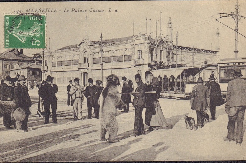
MARSEILLE.-
Montreur d'ours devant le Palace Casino.-
Marseille. L. Vers 1910. Carte postale en noir et blanc, très animée, montreur d'ours accompagné de plusieurs personnes dont une femme et un homme portant un tambourin devant un tramway et le casino. Timbre semeuse dans l'angle supérieur gauche, non gênant. Bel exemplaire. Photo sur demande.
书商的参考编号 : ORD-17579
|
|
|
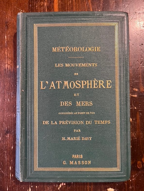
MARIÉ DAVY Hippolyte:
Météorologie. Les mouvements de l'atmosphère et des mers considérés au point de vue de la prévision du temps.
Paris, Victor Masson, 1866. In-8, pleine percaline verte de l'éditeur, titre doré au dos et sur le premier plat, tranches dorées.
书商的参考编号 : 21966
|
|
|
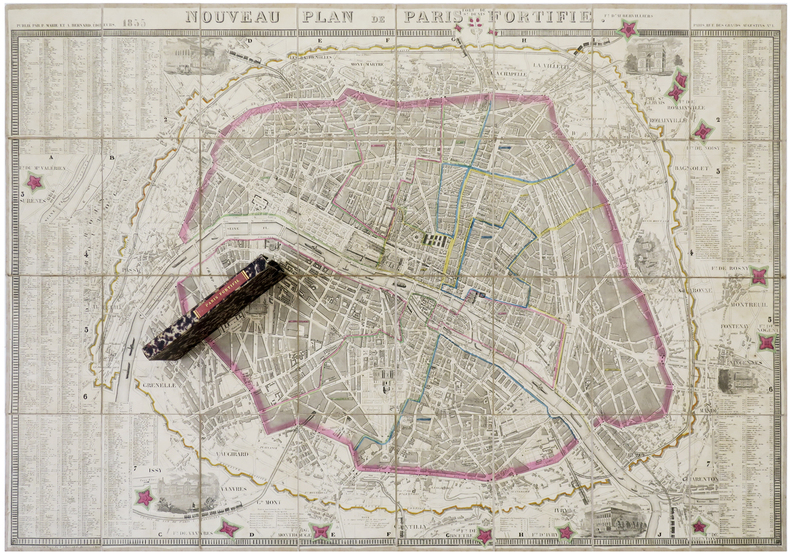
MARIE (P.) & BERNARD (A.).
Nouveau plan de Paris fortifié.
Paris, P. Marie et A. Bernard, 1855. En 32 sections montées sur toile et pliées, formant un plan de 610 x 888 mm ; sous étui de papier marbré avec titre en lettres dorées au dos.
书商的参考编号 : LBW-6276
|
|
|
Martignon Guy
Quartiers et Rues de Villemomble
SIDES6 La lampe de Mémoire In-8, broché, 172 pages, gravures, photographies et cartes postales dans un crédit exhaustif : ensemble à l'état de neuf.
书商的参考编号 : 10072
|
|
|
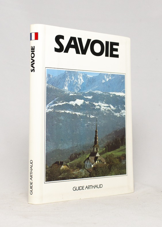
MARIOTTE Ruth et Jean-Yves:
Savoie.
Paris, Les éditions Arthaud, 1991. In-12 de 278-[4] pages, couverture photographique imprimée en couleurs.
书商的参考编号 : 16664
|
|
|
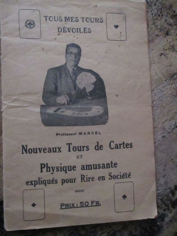
Marcel (Professeur)
Tous me tours dévoilés nouveaux tours de cartes et physique amusante expliqués pour rire en société
1753 Marcel lemoine (studio physico) 175 rue du temple, café de la monnaie Paris 3eme plaquette In8 22 pages
书商的参考编号 : 5928
|
|
|
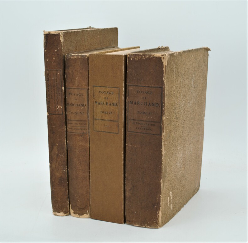
MARCHAND (Étienne) ,FLEURIEU (Charles-Pierre Claret de)
Voyage autour du monde, pendant les années 1790, 1791, et 1792, précédé d’une introduction historique ; auquel on a joint des recherches sur les terres australes de Drake, et un examen critique du voyage de Roggeween.
Paris, De l’Imprimerie de la République, An VI-An VIII [1798-1800]. In-4 (28x22 pour les T.I et II,31,5x24 pour le T .IV) ,xii, cxliv, 628, [3] ; xvi, 676, [2] ;[xi], 431, [1];[2],viii, 158pp, relié couverture d’attente éditeur en cartonnage beige chiné , non rogné , le tome IV n’étant pas ouvert ,défauts d’usage , papier à grandes marges et bruni aux bords ,mouillures au tome III , quelques rousseurs ,tome II reliure demi cuir sous emboîtage à l’identique.Tome I,III et IV premier tirage , Tome II ,1841, ,édition originale remise en vente en 1841 avec un titre de relai portant la mention fictive , "nouvelle édition"(quelques exemplaire imprimés en 1798 n'avaient pas trouver preneur) .L’illustration comprend 16 planches dépliantes gravées sur cuivre, numérotées de I à XV, dont une planche notée VI bis, toutes réunies dans le 4éme tome . Les 15 cartes gravées par Bouclet, Collin, Tardieu, Fortier, etc., levées pour les côtes nord-ouest de l’Amérique du Nord, les îles des Marquesas de Mendoça (îles Marquises), les îles Tupaya (dans l’actuelle Polynésie française), la baie de Tchinkîtâné (actuelle Sitka Sound, près de la ville de Sitka en Alaska), les îles de la Reine-Charlotte (archipel canadien au large de la Colombie-Britannique), les îles Sandwich (Hawaï), le détroit de Magellan, le détroit entre les îles Banca et Billiton (actuelle Belitung) en Indonésie, etc., et une jolie planche à caractère ethnographique (n°V) représentant des échasses de Whûtahô, une des îles de l’archipel des Marquises. Le tome I renferme un tableau dépliant donnant les concordances de mots français avec la langue de Wahîtahô et le tome IV les Observations sur la division hydrographique du Globe .
书商的参考编号 : PHO-657
|
|
|
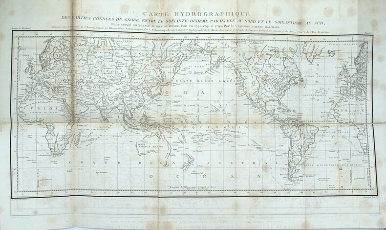
MARCHAND (Étienne) – FLEURIEU (Charles-Pierre, Claret de), rédacteur
Voyage autour du monde, pendant les années 1790, 1791, et 1792, précédé d'une introduction historique, auquel on a joint des recherches sur les terres australes de Drake, et un examen critique du voyage de Roggeween ... par C. P. Claret Fleurieu
Deuxième reliure de la première édition. Édition originale in-4 sur grand papier, remise en circulation en 1841 avec un nouveau titre avec la mention fictive "nouvelle édition" (quelques exemplaires imprimés en 1798 n'avaient toujours pas trouvé preneur). Une édition octavo en six volumes a également été publiée. in-4 ,y compris l'atlas. Avec 16 (10 dépliantes) dont 15 cartes gravées, 1 planche gravée et table dépliante. - Beau demi-cuir contemp , dos lisse avec titre et tomaison , petits manques au dos , quelques mouillures intermittentes et vieille trace d’humidité (T1), déchirure carte hydrographique sans manque. xii, cxliv, 628, [3] ; xvi, 676, [2] ;[xi], 431, [1];[2],viii, 158pp.
书商的参考编号 : PHO-1092

|
|
|
MARCHAND (Étienne). FLEURIEU (Ch. Claret de, éditeur)
Voyage autour du monde, pendant les années 1790, 1791, et 1792, précédé d’une introduction historique ; auquel on a joint des recherches sur les terres australes de Drake, et un examen critique du voyage de Roggeween…..
Paris, De l’Imprimerie de la République, An VI-An VII [1798-1799]. 5 volumes in-8 (22,5x14cm), 1f.-CCI-1f.-294pp.-1f., VII-529pp. (3 tableaux dépliants), VIII-474pp.1f. (8 tableaux dépliants), VIII-494pp., XII-559pp.-2ff., avec 13 cartes en copies, relié toile moderne, pièce d’auteur, titre et tomaison, non rogné, mouillures.
书商的参考编号 : PHO-2046

|
|
|
MARCHAND (Étienne). FLEURIEU (Ch. Claret de, éditeur)
Voyage autour du monde, pendant les années 1790, 1791, et 1792, précédé d’une introduction historique ; auquel on a joint des recherches sur les terres australes de Drake, et un examen critique du voyage de Roggeween…..
Paris, De l’Imprimerie de la République, An VI-An VII [1798-1799]. Texte : 5 volumes in-8 (22,5x14cm), 1f.-CCI-1f.-294pp.-1f., VII-529pp. (3 tableaux dépliants), VIII-474pp.1f. (8 tableaux dépliants), VIII-494pp., XII-559pp.-2ff., relié toile moderne, pièce d’auteur, titre et tomaison, non rogné, mouillure. Atlas : 1 vol. In4° (4) (26,5x22cm), VIII-158pp.-1f., 15 cartes et 1 gravure. Demi veau, titre et tomaison au dos, frottements, coins usés, accroc au dos, charnière fendillée, piqures sur quelques feuillets et cartes, renforcement et réparation sur 1 carte, la carte 15 en fac-similé Rare édition in-8, parue en même temps en format in-4, accompagné de l’atlas correspondant au tome 4 de l’édition in-4.
书商的参考编号 : PHO-2367
|
|
|
Marco Polo
Gran Canaria Marco Polo Pocket Guide (Marco Polo Travel Guides)
Book in as new unread condition. 140pp. Travel guide to Gran Canaria with road atlas and pull-out map. Map looks unused.
|
|
|
MARCUCCI Giacomo (Attivo a Roma tra il 1620 e il 1640 circa)
Roma
Opera per la prima volta pubblicata nel rarissimo "Giardino del Mondo dove si vede sculpite le citta principale ditalia con le eccelse fabriche antiche e chiese palazzi guglie colonne giardini e fonatene et archi trionfali di Roma" stampato a Roma [s.d. ma circa 1625-30].Si tratta di di un volume "di piccolo formato e privo di indice, è dedicato a Federico Cesi, dondatore dell'Accademia dei Lincei, morto nel 1630. Nella dedica, che compare dopoil titolo figurato, l'autore descrive i motivi che lo hanno spinto ad allestire l'opera" (cfr. Bellucci-Valerio, Piante e vedute di Napoli dal 1600 al 1699, p. 76).Le opere, di piccolo formato, sono una derivazione di quelle di Francesco Valegio contenute in "Descrizione La Raccolta di le piu illustri et famose citta di tutto il mondo" della fine del '500.I rami del Marcucci confluirono nella più celebre tipografia De Rossi, e ristampate nella "Raccolta delle principali città d’Italia intagliate con tutte le contrade, e palazzi di esse" edita a Roma nel 1643 da Giovambattista de Rossi. Una successiva ristampa della stessa è nota a cura di Carlo Losi nel 1773. La pianta, molto rara, viene per la prima volta descritta da Scaccia Scarafoni, che erroneamente ne fornisce l'errata datazione del 1547. Marigliani, nel datarla erroneamente al 1595 circa, ne fornisce la prima accurata descrizione: "è una copia della pianta di Valegio realizzata nell'ultimo decennio del '500 con lievissime differenze solo nella raffigurazione di San Pietro, di cui si vedono le cupole laterali, Santa Maria Maggiore ed il Colosseo più correttamente raffigurato con una parte dell'emiciclo esterno mancante"(cfr. Marigliani p. 164).Incisione in rame, in perfette condizioni. Rarissima. Bibliografia Scaccia Scarafoni (1939): n. 132; Frutaz (1960) n. 139 (nota); Marigliani (2007): p. 164, n. 65. A small and very rare map of Rome, for the first time published in the very rare "Giardino del Mondo dove si vede sculpite le citta principale ditalia con le eccelse fabriche antiche e chiese palazzi guglie colonne giardini e fonatene et archi trionfali di Roma" printed in Rome [s.d. but about 1625-30]. It is a volume of small format and without index, dedicated to Federico Cesi, founder of the Accademia dei Lincei, who died in 1630. In the dedication, which appears after the illustrated title, the author describes the reasons that pushed to prepare the work (see Bellucci-Valerio, Piante e vedute di Napoli dal 1600 al 1699, p. 76). The small-sized works are a derivation of those by Francesco Valegio contained in "Descrizione La Raccolta di le piu illustri et famose citta di tutto il mondo" from the end of the 16th century. Marcucci's platess flowed into the most famous De Rossi typography, and reprinted in the "Raccolta delle principali città d’Italia intagliate con tutte le contrade, e palazzi di esse" published in Rome in 1643 by Giovambattista de Rossi. A subsequent reprint of the same is known by Carlo Losi in 1773. The very rare map is described for the first time by Scaccia Scarafoni, who erroneously gives the wrong date of 1547. Marigliani, erroneously dating it to about 1595, provides the first accurate description: "it is a copy of the map of Valegio built in the last decade of the 16th century with very slight differences only in the depiction of St. Peter, of which you can see the side domes, Santa Maria Maggiore and the Colosseum more correctly depicted with a part of the external hemicycle missing "(see Marigliani p . 164). Copper engraving, in perfect condition. Extremely rare. Bibliografia Scaccia Scarafoni (1939): n. 132; Frutaz (1960) n. 139 (nota); Marigliani (2007): p. 164, n. 65.

|
|
|
Mardesic, S. - Segal, J. (editors)
Shape Theory: the Inverse System Approach (North-Holland Mathematical Library)
Mm 150x225 Volume in copertina rigida originale, xv-378 pagine. Copia ottima, spedizione in 24 ore dalla conferma dell'ordine.
|
|
|
Margaret Cousins; Illustrator-Photographs and Maps
The Story of Thomas Alva Edison Landmark #110 HB/PC
Random House 1965. Hardcover. Excellent. 7x5x1. Photographs and Maps. Rare Collectible Pictorial Cover Book. This book is in Wonderful Excellent Unused condition with One Exception- it was bound upside down! So of course this has no effect on your ability to read this great book in great condition!- just flip it over! Book is in Very Good Plus to Excellent condition with a tight binding and clean crisp internal pages. Inside text is unread and unused! There is a stamp from "Colonial Press" on the first end page but No other writing or markings in the book. Outside pictorial covers are Very Nice! This is a great book but as stated you just need to flip it over to read! Very Hard to Find as a Non-Library Book in this condition! This book was NOT published with a Dust Jacket. Landmark Books Volumes 104-122 are only available in the picture cover format also these titles had virtually no trade sales with public and school libraries taking most of the books. Landmark Books and World Landmark Books are accurate in-depth stories for young people in the 9-15 year old range. These living histories were written by award-winning authors or by men and women who experienced the events first hand. Written during the 1950's and 1960's and illustrated either with two-color drawings or clear photographs the books are informative enjoyable and well worth reading and collecting. The Story of Thomas Alva Edison Landmark Book #110. Here is a colorful account of America's greatest inventor who was also one of American's most rugged individualists. Simply and clearly the author explains Edison's contributions to the electric light the telephone the phonograph the electric locomotive radio broadcasting motion pictures and many other aspects of our modern electrified world. Random House hardcover
书商的参考编号 : 230929D
|
|
|
Marjatta Bell; Marjatta Hietala
Helsinki, the Innovative City
No marks or inscriptions. No creasing to covers or to spine. A lovely clean very tight copy with bright unmarked boards and no bumping to corners. Dust jacket not price clipped or marked or torn or creased with very minor traces of storage 447pp. History, culture, development and the society of Helsinki, Finland's Capital City. 'Helsinki - The Innovative City' describes how the capital of Finland was developed into a handsome, sophisticated city. It tells the story of how its innovative citizens and its determined City Council turned a small rocky seaport into a European city of distinction with fine public services and continuing links with the surrounding nature.
|
|
|
Mark Brandenburg
Brandenburgum Marchionatus. Cum Ducatibus Pomeraniae et Mekelenburgi. Original-Kupferstich von Matthäus Merian, mit Titelkartusche u. Meilenzeiger.
(Frankfurt a. M.), M. Merian, [ca. 1652]. Mit Mittelfalz. Darstellung: 36 x 27,5 cm; Blatt: 39,5 x 34 cm. Gerahmt. Unter braunem Passepartout.
书商的参考编号 : 86713

|
|
|
Markidou, Loula and Caudery, Tim
Cyprus : A Comprehensive Guidebook
No marks or inscriptions. No creasing to covers, light crease down spine. A clean crisp very tight copy with bright covers and no bumping to corners. 113pp. The culture and history of the island in a gazetteer style, with superb colour photographs.

|
|
|
MAROC. . .
Carte en couleurs extraite de l'Atlas Universel. Sans date.
1 feuille 50x40 cm. Pli central.
|
|
|
MARRES Paul , BLANQUET Léon
L'HERAULT Géographique & Historique : Choix De Lectures . Complet De ses Pages Dépliantes En Fin D'ouvrage
Ancien livre d'école avec son dos en percaline . Complet de sa carte géologique dépliante et de ses cartes : historique et tableaux chronologiques . Illustré de photographies en noir et blanc . Cartes et plans . Régionalisme Languedoc . - 284 p. , 400 gr.

|
|
|
MARSEILLE- CARPENTRAS
Carte touristique au 1/100 000e.
Une feuille 89x121 cm.
|
|
|
Marshall, General.
GENERAL MARSHALL'S REPORT. The Winning of the War in Europe and the Pacific. Biennial Report of the Chief of Staff of the United states Army July 1, 1943 to June 30, 1945, to the Secretary of War.
123p. Illustrated with numerous maps. Large 4to. Original printed wraps, damp stained. WORLD WAR II BOX 4
|
|
|
Marshall, James Stirrat; Marshall, Carrie
Adventure in Two Hemispheres - Including Captain Vancouver's Voyage
208 pages including index and black and white illustrations. "From much accumulated data we have woven a non-fiction historical book which it is hoped will fill a practical need in the literature of the Pacific Coast and the Hawaiian Islands, and may interest readers in Canada, the United States, Hawaii and Great Britain... Extracts of Vancouver's original 1798 charts were photographed and are included, while in some instances these are compared with modern maps." - from foreward. Decorated front board. Average wear. Binding intact. Solid copy. Book
|
|
|
Martin Cartes, Juan Antonio
Prevención de Adherencias postquirúrgicas con Prótesis Intraperitoneal: Estudio Experimental Spanish Edition
paperback. Good. Access codes and supplements are not guaranteed with used items. May be an ex-library book. paperback
书商的参考编号 : 3844349561.G ???????? : 3844349561 9783844349566

|
|
|
Martres, Laurent
Photographing the Soutwest : Volume 1 - A Guide to the Natural Landmarks of Southern Utah
No marks or inscriptions. No creasing to covers or to spine. A very clean very tight copy with bright unmarked boards and no bumping to corners. 320pp. A travel guide to the natural landmarks of Southern Utah including Grand Circle, Red Rock Country and Dinosaur National Monument with emphasis on the opportunities for spectacular photography and with over 240 full-color photographs.
|
|
|
MARZOLLA Benedetto (Brindisi, 1801 - Napoli, 1858)
Impero di Alessandro
Carta storica raffigurante i territori dell'Impero di Alessandro Magno intorno al 323 a.C. Tratta dall’ Atlante geografico. Corredato di notizie relative alla geografia fisica politica, ed in generale alla statistica delle varie regioni del Globo. Compilato ed eseguito in litografia per cura e sotto la direzione di Benedetto Marzolla edito a Napoli nel 1858. Marzolla, autore di importanti atlanti sulle provincie del Regno di Napoli, è anche autore di diverse carte sulle Circoscrizioni Ecclesiastiche nel Regno delle Due Sicilie, pubblicate postume, nello stesso anno della morte (1858) a Napoli nello Stabilimento Geografico diretto da Luigi Manzella. Benedetto Marzolla fu disegnatore topografo e litografo; geografo e cartografo; membro della Commissione di statistica presso il Ministero dell'Interno. Personaggio di grandissimo rilievo nella cartografia napoletana ed italiana del XIX secolo, Marzolla ottenne in vita pubblici riconoscimenti ed attestati per la produzione cartografica di altissima qualità. La sua notorietà si è lentamente dissolta dopo la morte; va tuttavia osservato che solo la mancanza di uno spiccato coinvolgimento politico in senso risorgimentale e di una valenza letteraria nella sua opera non lo hanno reso famoso come i contemporanei Francesco Costantino Marmocchi (1805-1858) e Attilio Zuccagni-Orlandini (1783-1872), con i quali può certamente confrontarsi. I progetti culturali didattici e editoriali di Marzolla furono e rimangono di straordinaria modernità; egli inventò, è il caso di dire, un nuovo modo di intendere e di disegnare la carta geografica, fornendo una visione assolutamente originale della comunicazione dei dati geografici attraverso la combinazione di testo e immagine. Con tale operazione, egli riuscì a fondere in un'unica opera, storia, geografia, economia, statistica e cartografia, raggiungendo un equilibrio grafico di rara efficacia (cfr. V. Valerio, Benedetto Marzolla Brindisino, Geografo e Cartografo dell'800 Europeo, Brindisi 2008). Bell’esemplare con coloritura coeva dei contorni, in ottimo stato di conservazione. Bibliografia V. Valerio, Benedetto Marzolla Brindisino, Geografo e Cartografo dell’800 Europeo (2008). Historical map depicting the territories of Alexander the Great's empire, around 323 BC. Taken from the Atlante geografico. Corredato di notizie relative alla geografia fisica politica, ed in generale alla statistica delle varie regioni del Globo. Compilato ed eseguito in litografia per cura e sotto la direzione di Benedetto Marzolla published in Naples in 1858. Marzolla, author of important atlases on the provinces of the Kingdom of Naples, is also the author of several maps on the Ecclesiastical Circumscriptions in the Kingdom of the Two Sicilies, published posthumously in the same year of his death (1858) in Naples in the Stabilimento Geografico directed by Luigi Manzella. Benedetto Marzolla was draftsman topographer and lithographer, geographer and cartographer. Character of great importance in the Neapolitan and Italian cartography of the nineteenth century, Marzolla obtained during his life public recognition and certificates for the production of high quality cartography. His notoriety slowly faded after his death; it should be noted, however, that only the lack of a strong political involvement in the sense of the Risorgimento and of a literary value in his work did not make him as famous as his contemporaries Francesco Costantino Marmocchi (1805-1858) and Attilio Zuccagni-Orlandini (1783-1872), with whom he can certainly compare himself. Marzolla's cultural, didactic and editorial projects were, and remain, extraordinarily modern; he invented a new way of understanding and drawing maps, providing an absolutely original vision of the communication of geographical data through the combination of text and image. With this operation, he was able to merge in a single work, history, geography, economics, statistics and cartography, achieving a graphic balance of rare effectiveness. Benedetto Marzolla is famous for being among the most important cartographers of the XIX century, for being the one to print geographic maps using high quality lithographies.His Atlante Geografico, made of 58 maps, presents finely sketched works. Six maps depict North America, among them famous map of gold diggers in California, deriving from Hippolite Ferry. Extremely relevant are also the maps of Antarctic, South Africa with the plan of Cape Town and those about Australia.Though the maps are dated between 1843 and 1856, this 1858 edition, printed in Naples at the Stabilimento Geografico Strada San Carlo (founded by Marzolla himself), represents the final version of his atlas, the last one before his death. A posthumous edition will be published in 1865.The atlas is pretty rare, is not actually listed in Phillips, British Library e OCLC. Beautiful specimen with contemporary coloring of the contours, in excellent condition. Bibliografia V. Valerio, Benedetto Marzolla Brindisino, Geografo e Cartografo dell’800 Europeo (2008).

|
|
|
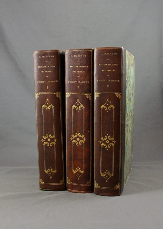
MASPERO G:
Histoire ancienne des peuples de l’Orient classique.
Paris, Lib. Hachette, 1895-1899. 3 vol. in-4 de 804 + 798 + 826 pp. demi-maroquin noir, dos lisse orné de fers d’inspiration romantiques, couv. d’origine cons. Bel état.
书商的参考编号 : 1570
|
|
|
MASSIP Catherine - Emmanuel Le Roy Ladurie (préface) - Avec la participation des Départements ds Cartes et Plans, des Estampes, des Livres imprimés, des Manuscrits occidentaux et orientaux, des Médailles, et de la Musique de la Bibliothèque Nationale
Le chant d'Euterpe, l'aventure de la musique
1991 Hervas, collection Banque Nationale de Paris - 1991 - In-4 couverture cartonnée noire décorée - 188 pages - nombreuses reproductions photographiques
书商的参考编号 : 98357
|
|
|
Masao Tamai / Written by Historical Maps
my chikuho story
Not Available 1980. Soft Cover. Fine. The book is in fine condition. Not Available paperback
书商的参考编号 : 2090502113713456
|
|
|
MATTON Raymond - MATTO Lya 270 photographies hors texte et 21 cartes et plans.
Athènes et ses monuments du XVIIe siècle à nos jours. Villes et paysages de Grèce.
Couverture souple. Broché. 342 pages + cahier d'illustrations.
书商的参考编号 : 147115
|
|
|
Matvejevitch Predrag
Bréviaire méditerranéen
Fayard 1992 In-8 broché 23 cm sur 15. 264 pages. Très bon état d’occasion.
书商的参考编号 : 107863
|
|
|
MATTHIEU P.
Histoire des Derniers troubles de France sous le Règne des Rois Très Chrétiens Henry III Roy de France et de Pologne et Henry IIII Roy de France et de Navarre.
S.N. Lyon 1594 Un volume in-8 ( 170 X 110 mn ), reliure velin à rabats avec reste de lacet. Notre volume contient les 2 premiers livres ( 1bl, titre, épître et discours ), 118 pages - 203 pages. 4 bandeaux et 4 lettrines.
书商的参考编号 : 191923

|
|
|
MATHIEU F-A Colonel
Précis De Topographie
Paris L. Fournier & Cie 1945 In-12, 2 Volumes 153 + 119 pp
书商的参考编号 : 19977
|
|
|
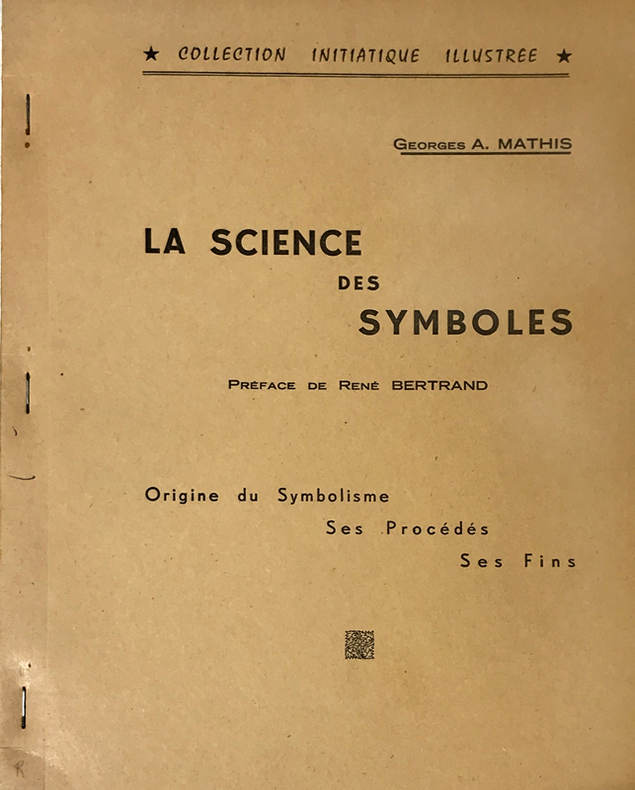
Mathis (Georges A.) :
Science (La) des Symboles. Préface de René Bertrand. Origine du Symbolisme, ses Procédés, ses Fins.
Rueil-Malmaison, Marcel Spaeth, "Collection Initiatique Illustrée", 1961 ; in-4 polycopié ; (2), IV, 105, (1) ff. recto seul.
书商的参考编号 : 14766
|
|
|
Mathews, W.H. (compiler); et al
Geology of the Cordilleran Orogen in Canada - Geology of North America, Volume G-2/Geology of Canada No. 4
Large slipcase contains the following maps: 1701A - Physiographic Map of the Canadian Cordillera; 17.1 Structural cross-sections of the Canadian Cordillera; 1714A Metamorphic Map of the Canadian Cordillera; 15.1 Distribution of Proterozoic to Miocene plutonic suites; 19.1A to I; 1713A Terrane Map of the Canadian Cordillera (sheets 1 and 2); Correlation chart for Canadian Cordillera (3 sheets). Minor reference markings to slipcase and each map. Please note: we are offering the map set only. Book not included. Book

|
|
|
Mathioulakis,Christos Z
Crete : Tourist Guide to Crete (With Tourist Map , Scale 1:300,000)
Locally produced vintge guidebook, including good street maps of Heraklion and other towns. 96p,+ colored plsted, illus, maps and diagrams. Large scale fold-out map of Crete at the back. Book
|
|
|
Mathioulakis,Christos Z
Crete : Tourist Guide to Crete (With Tourist Map , Scale 1:300,000)
Locally produced guidebook to Crete, ,including good street maps of Heraklion and other towns. Pbk. 96p.illus + coloured plates, Maps Crisp tight unmarked copy copy, but fold-out map is missing [3 copies of this edition found in WorldCat Book
|
|
|
Matkin, Robert B.
Map Reading
Name/date to front end paper. No other marks or inscriptions. No creasing to covers. A very clean very tight copy with bright unmarked boards and no bumping to corners. 32pp. A guide to understanding maps and map reading. Illustrated.

|
|
|

 ?????????
 ?????PDF???
 RSS feed
 ??
??


