|
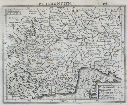
MERCATOR (Gerard);HONDIUS (Jodocus);
[PIEMONT] Pedemontana regio, cum Genuensium territorio et Montifferrati marchionatu.
Dordrecht Adrianus Bottius 1610 147 x 178 mm.
Referentie van de boekhandelaar : LBW0616e
|
|
|
MERCATOR (Gerard);HONDIUS (Jodocus);
[POUILLES/CALABRE] Puglia Piana terra di Barri Otrato etc.
Dordrecht Adrianus Bottius 1610 134 x 177 mm.
Referentie van de boekhandelaar : LBW0618c

|
|
|
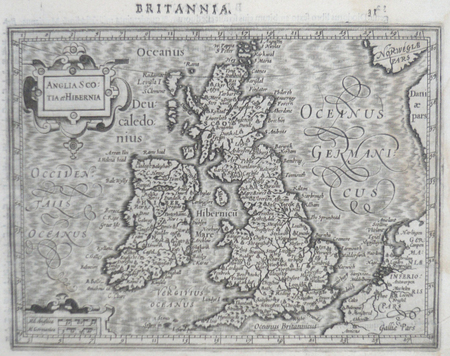
MERCATOR (Gerard) & HONDIUS (Jodocus).
[ROYAUME-UNI] Anglia Scotia et Hibernia.
[Dordrecht, Adrianus Bottius, 1610]. 142 x 178 mm.
Referentie van de boekhandelaar : LBW0615d
|
|
|
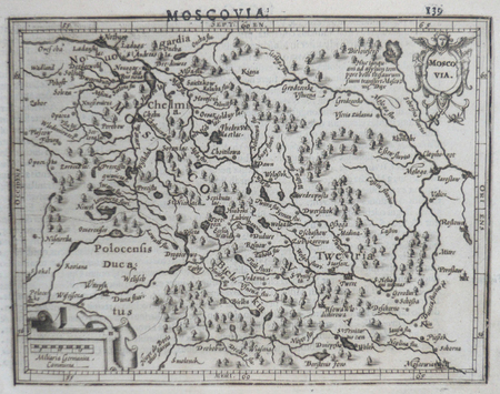
MERCATOR (Gerard) & HONDIUS (Jodocus).
[RUSSIE] Moscovia.
[Dordrecht, Adrianus Bottius, 1610]. 133 x 171 mm.
Referentie van de boekhandelaar : LBW06162
|
|
|
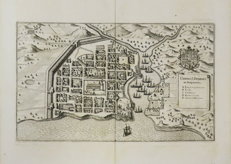
MERIAN (Matthäus).
[SAINT-DOMINGUE] Civitas S. Dominici in Hispaniola.
[1649]. 193 x 324 mm.
Referentie van de boekhandelaar : LBW-3470
|
|
|
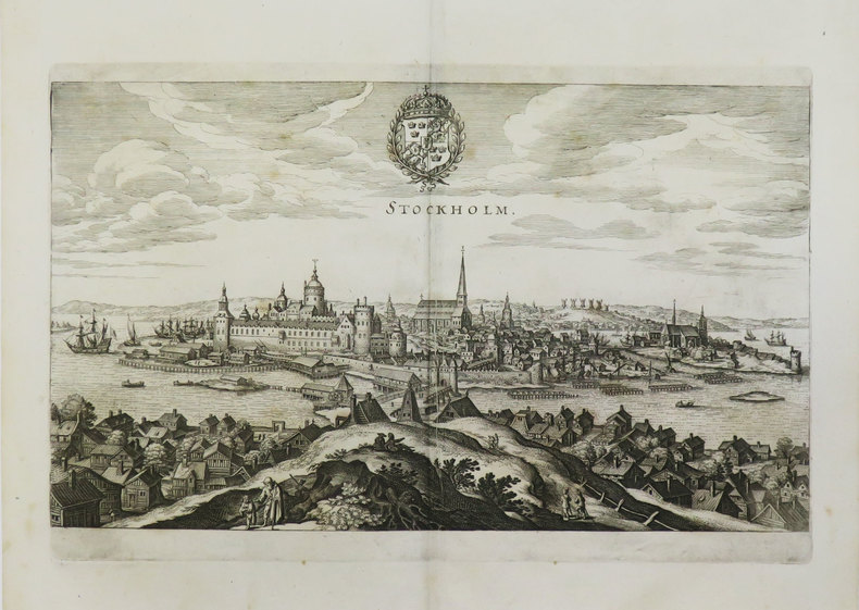
MERIAN (Matthäus).
[SUEDE] Stockholm.
[1649]. 194 x 330 mm.
Referentie van de boekhandelaar : LBW-3596
|
|
|
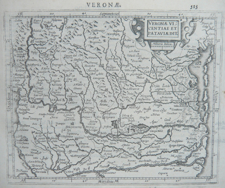
MERCATOR (Gerard);HONDIUS (Jodocus);
[VERONE] Veronae Vicentiae et Pataviae dit.
Dordrecht Adrianus Bottius 1610 150 x 178 mm.
Referentie van de boekhandelaar : LBW06170
|
|
|
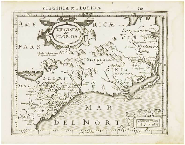
MERCATOR (Gerard) & HONDIUS (Jodocus).
[VIRGINIE/FLORIDE] Virginia et Florida.
[Dordrecht, Adrianus Bottius, 1610]. 152 x 183 mm.
Referentie van de boekhandelaar : LBW06154
|
|
|
MERLE Jean-Toussaint:
Anecdotes historiques et politiques pour servir à l'histoire de la conquête d'Alger en 1830.
Paris, Imprimerie-Librairie de G.-A. Dentu, 1832. In-8 broché de XXXII-400 pages.
Referentie van de boekhandelaar : 20944

|
|
|
MERCATOR (Gerard);HONDIUS (Jodocus);
Designatio orbis christiani.
Dordrecht Adrianus Bottius 1610 154 x 192 mm.
Referentie van de boekhandelaar : LBW06159

|
|
|
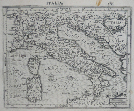
MERCATOR (Gerard);HONDIUS (Jodocus);
Italia.
Dordrecht Adrianus Bottius 1610 150 x 182 mm.
Referentie van de boekhandelaar : LBW0616c
|
|
|
MER (la) par G. CLERC-RAMPAL.
La mer dans la nature. La mer et l'homme. Préface de A. BERGET. 636 héliogravures, 11 planches en couleurs, 16 planches en noir, 316 cartes en noir ou dessins.
Paris, éd. Larousse, nouvelle édition entièrement revue et corrigée, 1930. Bel exemplaire relié, reliure demi cuir et toile d'origine, fort in-4, VIII + 302 pages + planches.
Referentie van de boekhandelaar : AUB-9434
|
|
|
MERRIEN Jean Cartes hors texte.
Les navigateurs solitaires. Nouvelle édition refondue en un seul volume.
Couverture rigide. Cartonnage de l'éditeur. 307 pages. Petite tache au premier plat. Sans jaquette.
Referentie van de boekhandelaar : 149354
|
|
|
MERCATOR GERARDUS
LOTHARINGIA DUCATUS (DUCHE DE LORRAINE)
1630 carte ancienne en couleur, colorée d'époque en jaune, vert et rouge. Format total : 47 centimètres de haut par 55,5 centimètres de large, 1630 Amsterdam Mercator Editeur,
Referentie van de boekhandelaar : 8975
|
|
|
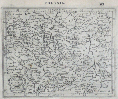
MERCATOR (Gerard);HONDIUS (Jodocus);
Polonia et Silesia.
Dordrecht Adrianus Bottius 1610 149 x 177 mm.
Referentie van de boekhandelaar : LBW0616b
|
|
|
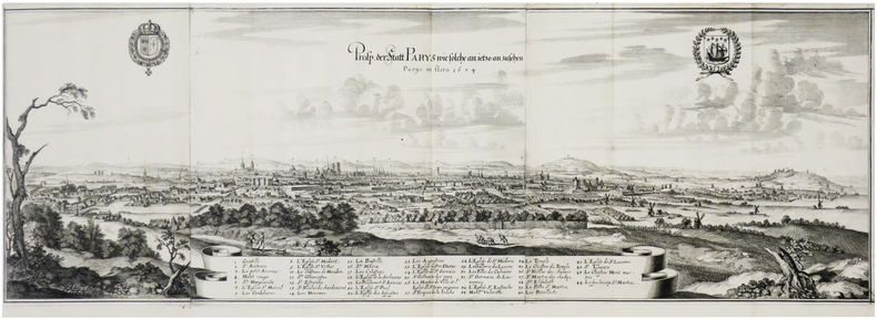
MERIAN (Matthäus).
Prosp. der Statt Parys wie solche an ietzo anzusehen. Parÿs in flora 1654.
[Francfort], 1654 [1655]. En trois feuilles jointes de 263 x 792 mm.
Referentie van de boekhandelaar : LBW-7681
|
|
|
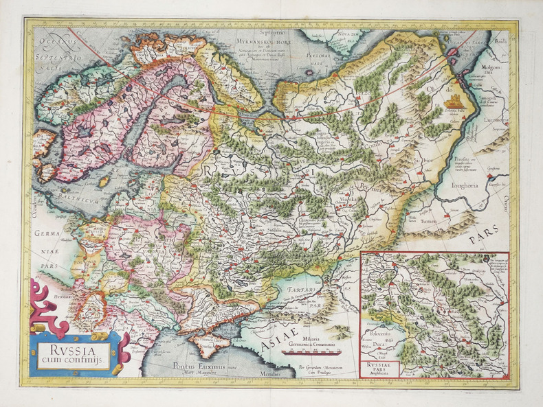
MERCATOR (Gerard).
Russia cum confiniis.
1606-1608. 354 x 475 mm.
Referentie van de boekhandelaar : LBW-2277
|
|
|
MERIAN Mathias; ZEILLER Martin:
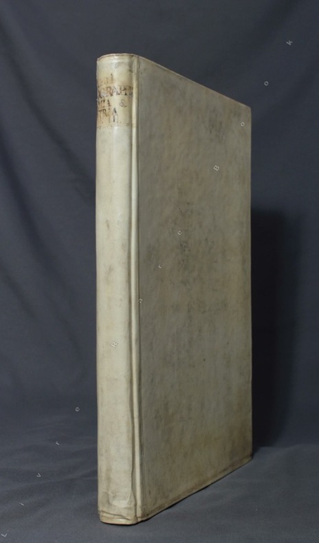
Topographia Helvetiae, Rhaetiae et Valesiae: Das ist, Beschreibung und eigentliche Abbildung der Vornembsten Stätte und Plätze in der Hochlöblichen Endgenoßschafft, Grabündten, Wallis, und etlicher Zugewantten Orthen: Zu dieser andern Edition mit sonderm Fleiß durchgangen, und von vorigen Fehlern corrigirt / vermehrt und gebessert.
Franckfurt am Mann, Merian, 1654. Grand in-4 de 90-[10] pages (A-L8; M6), plein vélin blanc, reliure du XVIIIe siècle de réemploi, exemplaire lavé, toutes les planches ont été proprement remontées sur onglet, sans un faux pli. Ex-libris gravé du XVIIIe siècle de Georg August Graf zu Erbach.
Referentie van de boekhandelaar : 8502
|
|
|
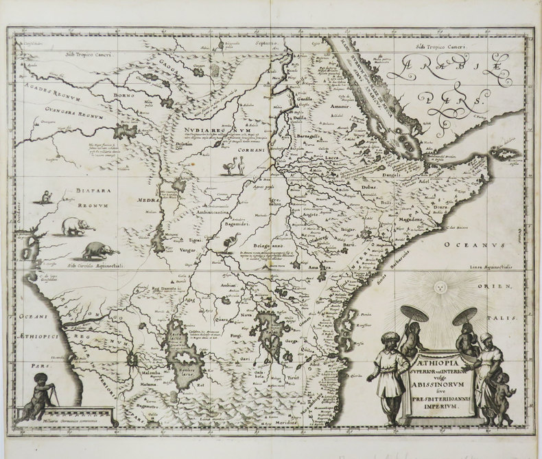
MERIAN (Matthäus).
Æthiopia superior vel interior vulgo Abissinorum sive Presbiteri Joannis imperium.
[1649]. 287 x 373 mm.
Referentie van de boekhandelaar : LBW-3605
|
|
|
MERCATOR, GERARDUS
Taurica Chersonesvs Nostra aetate Przecopsca et Gazara dicitur.
Amsterdam.: Jodocus Hondius. Circa Early 17th Century. Map depicting the southeastern part of present day Ukraine and the Crimean peninsula including the northern most part of the Black Sea and reaching north to Smolensk. Published by Hondius in the French edition of the Mercator-Hondius Atlas. Hand outline colour topographical detail shown pictorially some wear along centrefold occasional pale foxing mostly in margins decorative title cartouche upper right corner French text on verso showing through clear plate mark even age toning 48.5 x 58 cm. . [Jodocus Hondius]. unknown
Referentie van de boekhandelaar : 54794
|
|
|
MERIAN "il vecchio" Matthaus (Basilea 1593 - Bad Schwalbach 1650)
Roma
Pianta della città incisa ed edita dal Merian, e pubblicata per la prima volta nell'Itinerario Italiae di Martin Zeiller. La carta è la copia in formato ridotto della grande pianta realizzata da Antonio Tempesta nel 1593. "Contenuta oltre che nell'opera di Martin Zeiler del 1640 anche nell'opera del Werdenhaen, De Rebus publicis Hanseaticis, tav. 173 - Francoforte 1641. è certamente la più nota e diffusa riduzione della pianta del Tempesta. Non presenta alcun aggiornamento rispetto al suo prototipo e pertanto raffigura la città nell'anno 1593, sebben sia stata incisa oltre mezzo secolo dopo. Una curiosa correzione rispetto al Tempesta riguarda la Piramide, da questi erroneamente raffigurata all'interno delle mura, è invece qui disegnata più correttamente a cavallo delle stesse" (cfr. Marigliani p. 175). Matthäus Merian il vecchio (1593-1650) incisore svizzero nativo di Basilea, lavorò a Francoforte dove ebbe modo di lavorare nella bottega fondata da Theodor de Bry. Merian si segnalò, tanto da sposare Maria Magdalena de Bry, figlia di Johann Theodore de Bry, e dal 1625 circa da prendere in mano l'azienda, dandole un notevole incremento ed occupandosi in particolare dello sviluppo dei libri di topografia e di viaggi. Nella tipografia Merian lavorarono anche i figli Kaspar e soprattutto il quotato Matthaeus il giovane, i quali dopo la morte del padre proseguirono con immutato successo la gestione dell'attività che continuò fino al 1727. Nel 1638 Merian stampò la Neuwe Archontologia cosmica, das ist, Beschreibung aller Kaÿserthumben, Königreichen und Republicken der gantzen Welt opera sulla descrizione del Mondo già uscita dieci anni prima con una veste modesta che Merian rivoluzionò arricchendola con 98 tavole alcune delle quali a doppio foglio. L'Archontologia conobbe altre quattro edizioni fino al 1695 con testo o in latino o in tedesco, non omogenee per numero e tipologia di incisioni inserite. Nel 1640 venne pubblicato Itinerarium Italiæ Nov-antiquæ scritto da Martin Zeiller, ristampato nel 1688 col titolo Topographiæ Italiæ. Incisione in rame stampata su due fogli uniti verticalmente, piccolo strappo perfettamente restaurato, nel complesso in ottimo stato di conservazione. Meraviglioso esemplare di una delle più belle e decorative rappresentazioni della città. Plan of Rome, engraved and published by Merian. It was first issued in the Itinerario Italie of Martin Zeiller. The map is a reduction of the big map realized by Antonio Tempesta in 1593. "Contained not only in the 1640 work of Martin Zeiler but also in the work of Werdenhaen, De Rebus publicis Hanseaticis, pl. 173 - Frankfurt 1641. It is certainly the best known and most widespread reduction of the map of Antonio Tempesta. It does not present any update with respect to the its prototype and therefore depicts the city in the year 1593, although it was engraved over half a century later. A curious correction with respect to Tempesta concerns the Pyramid, which he erroneously depicted inside the walls, is instead drawn here more correctly astride themselves "(see Marigliani p. 175).Engraving printed on two sheets, joined up vertically, perfectly repaired tear, geberally in very good condition. Matthäus Merian the Elder (1593-1650) Swiss engraver native of Basel, worked in Frankfurt where he was able to work in the workshop founded by Theodor de Bry. Merian distinguished himself, so much so that he married Maria Magdalena de Bry, daughter of Johann Theodore de Bry, and from about 1625 he took over the company, giving it a considerable increase and dealing in particular with the development of topography and travel books. The Kaspar sons and above all the renowned Matthaeus the younger also worked in the Merian typography, who after the death of their father continued with unchanged success the management of the business which continued until 1727. In 1638 Merian printed the Neuwe Archontologia cosmica, das ist, Beschreibung aller Kaÿserthumben, Königreichen und Republicken der gantzen Welt works on the description of the World already published ten years earlier with a modest look that Merian revolutionized by enriching it with 98 tables, some of which are double sheets. The Archontologia went through four other editions up to 1695 with text either in Latin or in German, not homogeneous in terms of the number and type of engravings inserted. In 1640 Itinerarium Italiæ Nov-antiquæ written by Martin Zeiller was published, reprinted in 1688 with the title Topographiæ Italiæ. Magnificent example of one of the most beautiful and highly decorative representations of the city. A. P. Frutaz, "Le piante di Roma", CXXXV, tav. 275; Hulsen 88, Scaccia Scarafoni 186; C. Marigliani, "Le Piante di Roma delle collezioni private", tav. 76.

|
|
|
MERIAN "il vecchio" Matthaus (Basilea 1593 - Bad Schwalbach 1650)
Roma
Pianta della città incisa ed edita dal Merian, e pubblicata per la prima volta nell'Itinerario Italiae di Martin Zeiller. La carta è la copia in formato ridotto della grande pianta realizzata da Antonio Tempesta nel 1593. "Contenuta oltre che nell'opera di Martin Zeiler del 1640 anche nell'opera del Werdenhaen, De Rebus publicis Hanseaticis, tav. 173 - Francoforte 1641. è certamente la più nota e diffusa riduzione della pianta del Tempesta. Non presenta alcun aggiornamento rispetto al suo prototipo e pertanto raffigura la città nell'anno 1593, sebben sia stata incisa oltre mezzo secolo dopo. Una curiosa correzione rispetto al Tempesta riguarda la Piramide, da questi erroneamente raffigurata all'interno delle mura, è invece qui disegnata più correttamente a cavallo delle stesse" (cfr. Marigliani p. 175). Incisione in rame stampata su due fogli uniti verticalmente, finemente colorato a mano, in ottimo stato di conservazione. Bellissimo esemplare di una delle più belle e decorative rappresentazioni della città. Bibliografia A. P. Frutaz, "Le piante di Roma", CXXXV, tav. 275; Hulsen 88, Scaccia Scarafoni 186; C. Marigliani, "Le Piante di Roma delle collezioni private", tav. 76. Map of Rome, engraved and published by Merian. It was first issued in the Itinerario Italie of Martin Zeiller. The map is a reduction of the big map realized by Antonio Tempesta in 1593. "Contained not only in the 1640 work of Martin Zeiler but also in the work of Werdenhaen, De Rebus publicis Hanseaticis, pl. 173 - Frankfurt 1641. It is certainly the best known and most widespread reduction of the map of Antonio Tempesta. It does not present any update with respect to the its prototype and therefore depicts the city in the year 1593, although it was engraved over half a century later. A curious correction with respect to Tempesta concerns the Pyramid, which he erroneously depicted inside the walls, is instead drawn here more correctly astride themselves "(see Marigliani p. 175). Engraving printed on two sheets, joined up vertically, with fine later hand colour, in very good condition. Magnificent example of one of the most beautiful and highly decorative representations of the city. Bibliografia A. P. Frutaz, "Le piante di Roma", CXXXV, tav. 275; Hulsen 88, Scaccia Scarafoni 186; C. Marigliani, "Le Piante di Roma delle collezioni private", tav. 76.

|
|
|
Merian, Matthäus
Adolfseck. [1655]. [Altkolorierter Original-Kupferstich, gerahmt / original colored copper engraving, framed]
o.J. Matthäus Merian der Ältere, geboren am 22. September 1593 in Basel, gestorben am 19. Juni 1650 in Langenschwalbach. Schweizerisch-deutscher Kupferstecher und Verleger. [3 Warenabbildungen]
Referentie van de boekhandelaar : 59537BB

|
|
|
Merom, Peter
The Negev [IN HEBREW]
IN HEBREW. 28.5X32.5 cm. 130 pages. Hardcover. Contains black and white and color plates. Cover slightly dirty and stained. Cover edges slightly creased. Spine slightly wrinkled. Edges of several pages slightly creased. Pen writing on first white page. Else in good condition.
|
|
|
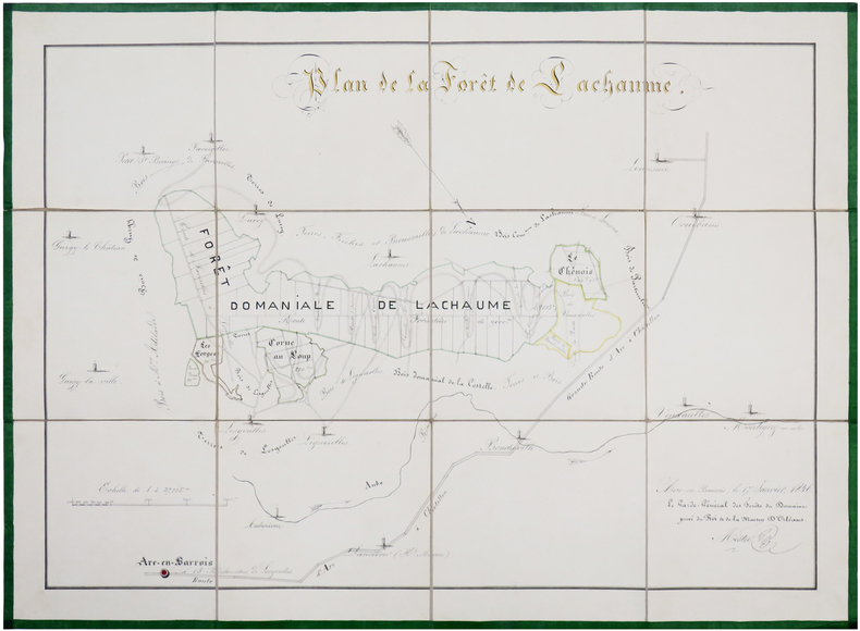
MESTRE.
Plan de la forêt de Lachaume.
17 janvier 1846. En 12 sections montées sur toile et repliées, formant une carte de 44 x 60 cm ; sous chemise de papier marbré bleu et étui de papier vert, avec une étiquette de l'époque portant le titre manuscrit.
Referentie van de boekhandelaar : LBW-6562
|
|
|
Messent, David & McGonigal, David
The Complete Guide to Sydney Harbour
No marks or inscriptions. No creasing to covers or to spine. A very clean very tight copy with bright unmarked boards and no bumping to corners. 160pp. The history of Sydney and its harbour and everything you would want to know about it in modern times. Very well illustrated.

|
|
|
METIERS D'ART par Jean de FONTANES.
Histoire des métiers d'art. Architecture ; ornement ; sculpture ; peinture ; costume ; meuble ; bijou ; orfèvrerie ; arts appliqués. Richement illustré (213 planches, 1559 motifs ; 6 cartes ; 24 tableaux synoptiques).
Paris, Vanoest les éditions d'art et d'histoire 1950. Bon exemplaire broché, couv. ornée d'éd., fort in-4 (25x20), 535 pages avec errata.
Referentie van de boekhandelaar : AUB-3833
|
|
|
METZ - JEAN-CLAUDE DEZAUCHE.
Nouveau Plan de la Ville de Metz. Avec tous le Changements et Augmentations faites jusq'uen 1784. Par M. De.... (Dezauche).
Paris, Dezauche, (1784). (58 x 87 cm.). Engraved map of Metz. A few small closed marginal tears to paper, not reaching image. A tear to lower part (3 cm) repaired on verso, no loss of image.
Referentie van de boekhandelaar : 54704
|
|
|
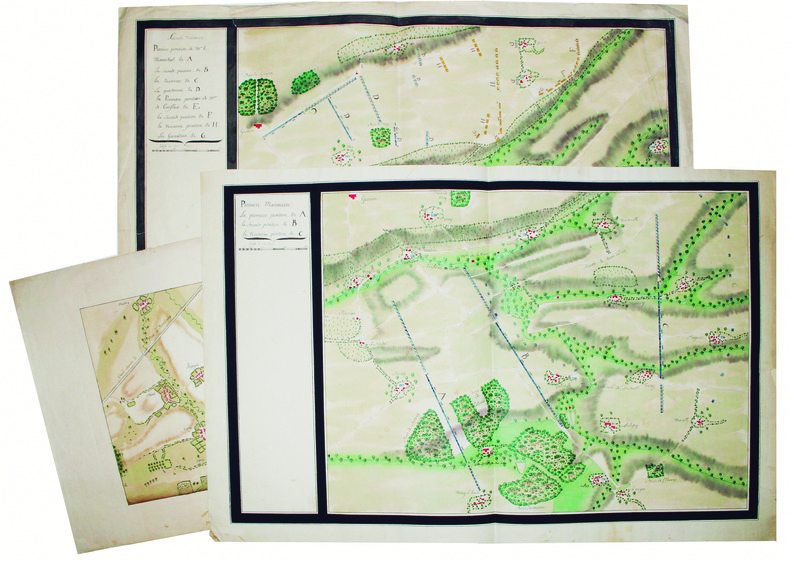
METZ. MANUSCRIT.
Plan des manœuvres de Metz en 1770. Première manœuvre. Seconde manœuvre.
1770. 2 feuilles de 450 x 680 et 520 x 685 mm.
Referentie van de boekhandelaar : LBW-4177
|
|
|
Metro Maps
Greater Las Vegas Street Guide & Directory '07 Edition
spiral_bound. Good. Access codes and supplements are not guaranteed with used items. May be an ex-library book. unknown
Referentie van de boekhandelaar : 1887749829.G ISBN : 1887749829 9781887749824
|
|
|
METZ - JEAN-CLAUDE DEZAUCHE.
Nouveau Plan de la Ville de Metz. Avec tous le Changements et Augmentations faites jusq'uen 1784. Par M. De.... (Dezauche).
Paris, Dezauche, (1784). (58 x 87 cm.). Engraved map of Metz. A few small closed marginal tears to paper, not reaching image. A tear to lower part (3 cm) repaired on verso, no loss of image.
|
|
|
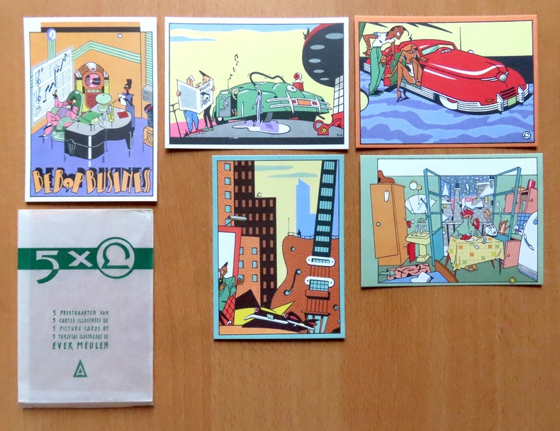
Meulen Ever:
5 prentkaarten van / 5 cartes illustrées de / 5 pictures cards by / 5 tarjetas illustradas de Ever Meulen.
Brussel/Bruxelles Plaizier. Ensemble de 5 cartes postales du génial dessinateur, au format 10.5 x 15 cm, sous enveloppe de pergamine imprimée - l'enveloppe comporte des plis en bords, les cartes sont à l'état de neuf.
Referentie van de boekhandelaar : 26391
|
|
|
MEULEN (Adam Frans van der).
[VINCENNES] Le Roy dans sa callèche accompagné des dames dans le bois de Vincennes - Rex in saltu Vicennarum aureo curru vehiter cum principibus fœminis.
[circa 1685]. 518 x 794 mm.
Referentie van de boekhandelaar : LBW-3818

|
|
|
MEUNIER (A.)
Carte Ethnographique de l'Afrique Occidentale Française publiée sous le haut patronnage de M. Albert Sarrault…
1920 1 carte en couleurs, 75 x 105 cm., plis. ca. 1920
Referentie van de boekhandelaar : 16208
|
|
|
MEUNIER Hippolyte
entretiens familiers sur la géographie industrielle de la France.
le docteur au village entretiens familiers sur la géographie industrielle de la France. In 12 demi-cuir rouge, titre, filets dorés. faux-titre, frontispice en couleurs, titre, carte physique de la France, en couleurs, sur double page, VIII, 267 pages, 1 page de table des gravures, 35 figures en noir et en couleurs à pleine page et dans le texte. Sandoz et Fischbacher 1875. Plats frottés.
Referentie van de boekhandelaar : 9331

|
|
|
Mexico Secretaria de Energia, Minas e Industria Paraestatal, Subsecretaria de Minas e Industria Basica; Consejo de Recursos Mine
Geological-mining monograph of the state of Zacatecas
Pachuca Mexico: Consejo de Recursos Minerales 1992 Book. As New. Hardcover. 1st US Ed. The state of Zacatecas is one of Mexico's most historically and economically significant mining regions often highlighted in specialized geological reports including this comprehensive Geological-Mining Monograph of the State of Zacatecas with its detailed text stratigraphic charts and geological maps often in 1:250000 scale that serve as a guide for exploration and academic study of this major mining region. Published by the Consejo de Recursos Minerales now part of the Mexican Geological Survey - SGM 155 p. illus charts col large format fold out maps in rear pockets. As new except for an ownerhip stamp NOTE : Very Heavy 1.5 kg/ large format volume. 35 x24 x24 cm. Consejo de Recursos Minerales hardcover
Referentie van de boekhandelaar : 047410 ISBN : 9686710078 9789686710076
|
|
|
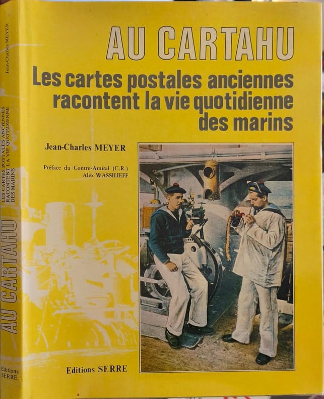
MEYER (Jean-Charles)
Au Cartahu.
Les cartes postales anciennes racontent la vie quotidienne des Marins. Préface du Contre-Amiral (C.R.) Alex Wassilieff. Nice, Éditions SERRE, 1984. In-4 (28x22cm) cartonnage éditeur sous jaquette illustré. 125pp.
Referentie van de boekhandelaar : WOC-1903

|
|
|
MEYER JEAN-CHARLES
AU CARTAHU LES CARTES POSTALES ANCIENNES RACONTENT LA VIE QUOTIDIENNE DES MARINS
Editions Serre 1984 125 pages 0x0x0cm. 1984. Reliure Editeur avec jaquette. 125 pages. Le livre 'Au Cartahu' de Jean-Charles Meyer utilise des cartes postales anciennes pour illustrer et raconter la vie quotidienne des marins. Il est préfacé par le contre-amiral Alex Wassilieff
Referentie van de boekhandelaar : 11255
|
|
|
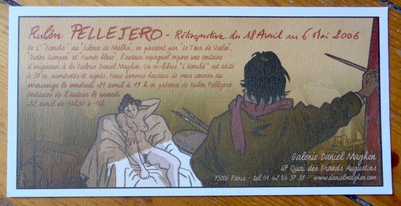
Meynet Félix:
Rétrospective du 18 avril au 6 mai 2006.
Galerie Daniel Maghen, 2006. Carton publicitaire au format 20 x 10 cm.
Referentie van de boekhandelaar : 8565
|
|
|
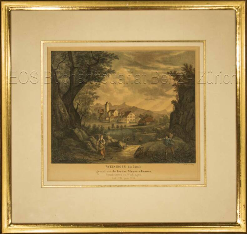
Meyer, Johann Ludwig von Knonau (1705–1785):
Weiningen bei Zürich.
Kol. Lithographie von T. Rey. Bildausschnitt: 19 x 22 cm. Rahmen: 33,5 x 35 cm.
Referentie van de boekhandelaar : 696DG
|
|
|
MEYER, Cornelius / FALDA, G.B.
Le Paludi Pontine delineate da Cornelio Meyer et novamente intagliate da Gio.Bat. Falda
Carta topografica a stampa, cm. 49,5 x 26: nel 1677, per ordine di papa Innocenzo XI, Meyer e l’abate Innocenzo Boschi perlustrarono le paludi pontine. Boschi era stato incaricato dalla Camera apostolica, Meyer voleva visionare le paludi in vista della bonifica che si era offerto di fare. In 1677, according to an Innocentius XI order, Meyer and the abbot Innocenzo Boschi were appointed to explore the Pontine marshes, in view of a possible reclamation that Meyer offered.

|
|
|
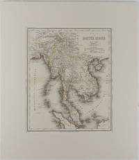
MEYER, HERRMANN JULIUS
Map - Malay Peninsula Karte von Hinter Indien
Hildburghausen: Bibliographischen Instituts. 1866. Engraved map with outline hand colour central fold 37 x 30 cm 47.4 x 36.2 cm sheet colour key to territorial control and administrative boundaries major cites towns roads rivers and mountains relief shown by hachures light toning in very good condition preserved in modern window mount. Detailed 19th Century regional map of the Malay Peninsula Vietnam Cambodia etc. extending from the Straits of Malaca and Singapore north to Hainan and the Gulf of Tonquin. Text in German prepared for Meyer's Hand Atlas noted in the marginal caption top-left . Bibliographischen Instituts unknown
Referentie van de boekhandelaar : 175919
|
|
|
Meyer, Johann Ludwig von Knonau (1705?1785)
Weiningen bei Zürich.
o.J. Kol. Lithographie von T. Rey. Bildausschnitt: 19 x 22 cm. Rahmen: 33,5 x 35 cm. + Wichtig: Für unsere Kunden in der EU erfolgt der Versand alle 14 Tage verzollt ab Deutschland / Postbank-Konto in Deutschland vorhanden +, Abb.
Referentie van de boekhandelaar : 696DG

|
|
|
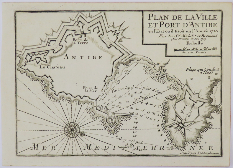
MICHELOT (Henri) & BREMOND (Laurent).
[ANTIBES] Plan de la ville et port d'Antibe en l'état où il étoit en l'année 1720.
1727. 177 x 250 mm.
Referentie van de boekhandelaar : LBW-4932
|
|
|
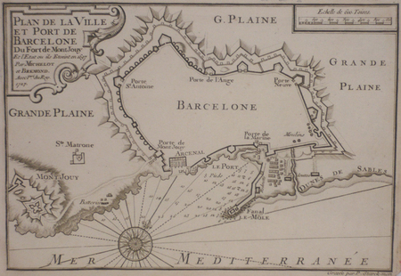
MICHELOT & BREMOND;
[BARCELONE] Plan de la ville et port de Barcelone du fort de Mont Jouy.
1727 174 x 254 mm.
Referentie van de boekhandelaar : LBW024f1
|
|
|
MICHELOT & BREMOND;
[CATALOGNE/ROSES] Plan de la baye et citadelle de Rose et de Tourrille.
1727 172 x 251 mm.
Referentie van de boekhandelaar : LBW024f2
|
|
|
MICHELOT & BREMOND;
[CATALOGNE/CADAQUES] Plan du port de Cadequié en Catalogne.
1727 173 x 251 mm.
Referentie van de boekhandelaar : LBW024f3
|
|
|
MICHELOT & BREMOND;
[ELBE] Plan de Porto Ferraro en l'isle de l'Elbe.
1730 178 x 255 mm.
Referentie van de boekhandelaar : LBW002a2
|
|
|
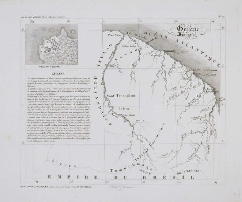
MICHEL.
[GUYANE] Guyane Française.
Versailles, Barreswil et Andrieux, 1840. 192 x 230 mm.
Referentie van de boekhandelaar : LBW-4797
|
|
|
MICHELOT & BREMOND;
[MESSINE] Partie de la ville et port de Messine.
1727 173 x 250 mm.
Referentie van de boekhandelaar : LBW00265
|
|

 De zoekresultaten per email ontvangen
 Zoekresultaten downloaden als PDF
 RSS feed
 Permanente link


