|
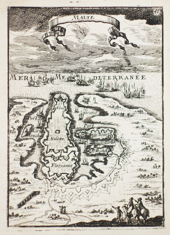
MANESSON-MALLET (Allain).
[MALTE] Malte.
[1683]. 140 x 100 mm.
Referentie van de boekhandelaar : LBW-2310
|
|
|
MANESSON-MALLET (Allain).
[MALTE] Isle de Malthe.
[1683]. 140 x 99 mm.
Referentie van de boekhandelaar : LBW-2311

|
|
|
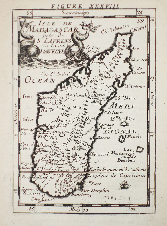
MANESSON-MALLET (Allain).
[MADAGASCAR] Isle de Madagascar dite de St Laurens ou l'isle Daufine.
[1683]. 140 x 98 mm.
Referentie van de boekhandelaar : LBW-2312
|
|
|
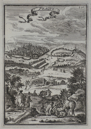
MANESSON-MALLET (Allain).
[REPUBLIQUE TCHEQUE] Prague.
[1683]. 142 x 98 mm.
Referentie van de boekhandelaar : LBW0252e
|
|
|
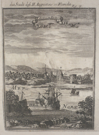
MANESSON-MALLET (Allain).
[SAINT-AUGUSTINE] St Augus de Floride.
[1684]. 143 x 103 mm.
Referentie van de boekhandelaar : LBW024d1
|
|
|
MANOYER (François).
[TOULON] La Flotte française en rade de Toulon. Visite du Président de la République et de l'escadre italienne.
Toulon, Clavel, [1890]. 266 x 747 mm.
Referentie van de boekhandelaar : LBW-6429

|
|
|
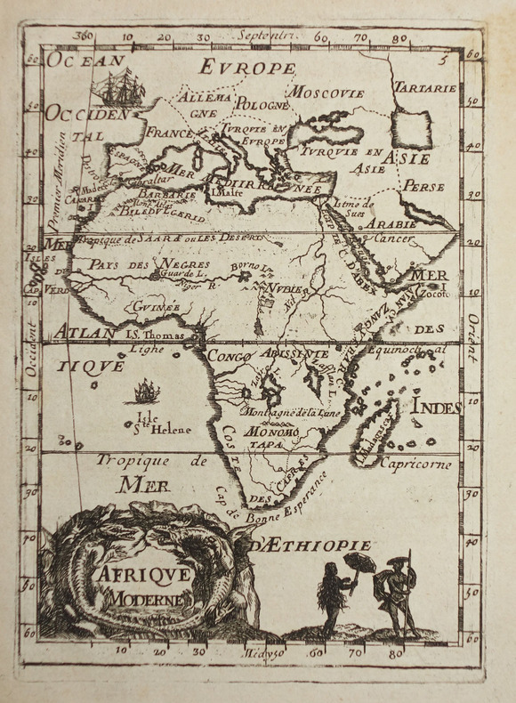
MANESSON-MALLET (Allain).
Afrique moderne.
[1683]. 144 x 104 mm.
Referentie van de boekhandelaar : LBW-2320
|
|
|
MANESSON-MALLET (Allain).
Canada ou Nouvelle France.
[1683]. 140 x 100 mm.
Referentie van de boekhandelaar : LBW024d2

|
|
|
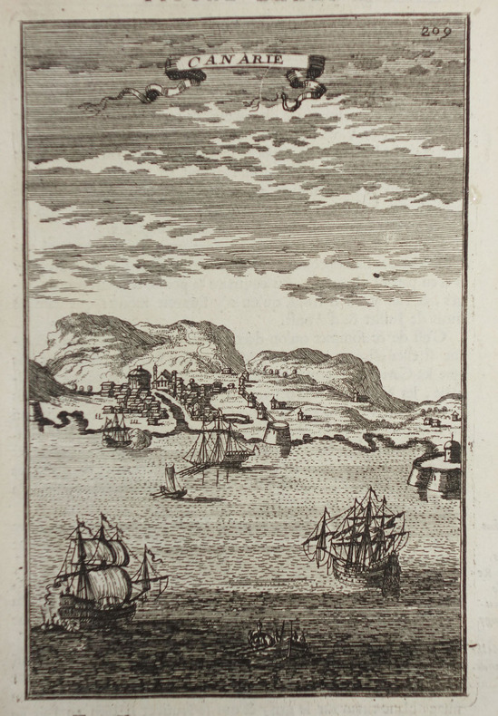
MANESSON-MALLET (Allain).
Canarie.
[1683]. 149 x 97 mm.
Referentie van de boekhandelaar : LBW-2316
|
|
|
MANUSCRIPT MAP.
Grund Tegning af Fästningen og Castellet i Leystad.
No place and date (probably Denmark, late 18th century). Hand painted map in ink and water colour. 26,5 x 41 cm. Silver frame. Overall slightly foxed.
Referentie van de boekhandelaar : 39180
|
|
|
MANESSON-MALLET (Allain).
Guinée.
[1683]. 141 x 102 mm.
Referentie van de boekhandelaar : LBW-2321

|
|
|
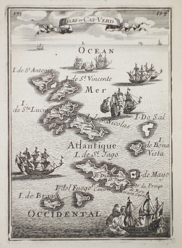
MANESSON-MALLET (Allain).
Isles du Cap-Verd.
[1683]. 143 x 104 mm.
Referentie van de boekhandelaar : LBW-2315
|
|
|
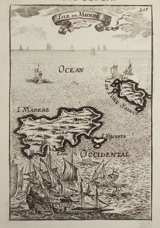
MANESSON-MALLET (Allain).
Isle de Madère.
[1683]. 144 x 95 mm.
Referentie van de boekhandelaar : LBW-2317
|
|
|
MANESSON-MALLET (Allain).
Monomotapa et la Cafrérie.
[1683]. 148 x 101 mm.
Referentie van de boekhandelaar : LBW024b5

|
|
|
MANESSON-MALLET (Allain).
PALERME.
[1683]. 140 x 98 mm.
Referentie van de boekhandelaar : LBW02e76
|
|
|
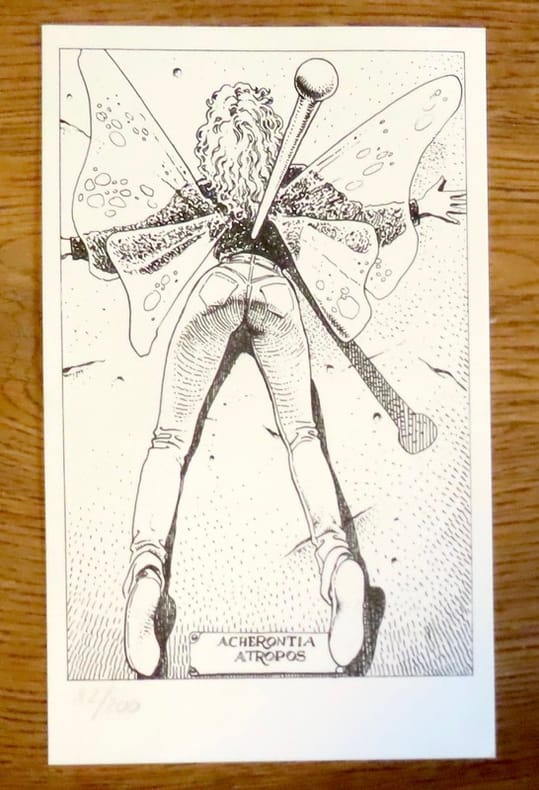
Manara:
Petite sérigraphie en noir. Acherontia Atropos.
Sérigraphie au format 12 x 20.
Referentie van de boekhandelaar : 19238
|
|
|
Manara:
Petite sérigraphie en noir. Acherontia Atropos.
Sérigraphie au format 12 x 20, légèrement jaunie en bords.
Referentie van de boekhandelaar : 26116

|
|
|
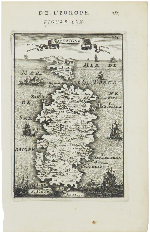
MANESSON-MALLET (Allain).
Sardaigne.
[1683]. 145 x 98 mm.
Referentie van de boekhandelaar : LBW00254
|
|
|
MANUSCRIPT MAP.
Slaget wed Zornsdorff den 25de Augusti 1758.
No place and date. (probably Denmark late 18th century). Handpainted map in ink and watercolour. 25 x 41 cm. In silver frame. Slightly foxed overall.
Referentie van de boekhandelaar : 39179
|
|
|
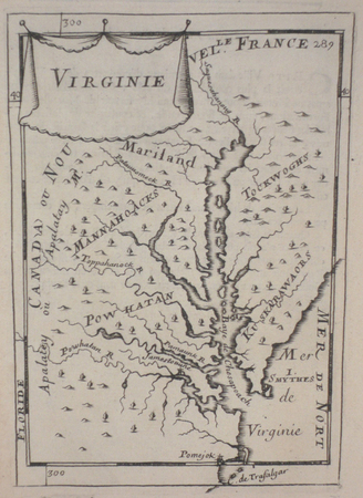
MANESSON-MALLET (Allain).
Virginie.
[1683]. 149 x 103 mm.
Referentie van de boekhandelaar : LBW024cc
|
|
|
Manchester Evening News Motoring Correspondent
Let's go for a Run
No marks or inscriptions. Minor creasing to first few pages. A very clean very tight copy with bright unmarked boards and rusty staples. 72pp. Reprinted motor runs from and around Manchester by the Manchester Evening News Motoring Correspondent.

|
|
|
Manchester Evening News Motoring Correspondent
Let's go for a Run
No marks or inscriptions. No creasing to covers. A very clean very tight copy with bright unmarked boards and no bumping to corners. 80pp. Reprinted motor runs from and around Manchester by the Manchester Evening News Motoring Correspondent.

|
|
|
Manchester Evening News Motoring Correspondent
Let's go for a Run
No marks or inscriptions. No creasing to covers. A very clean very tight copy with bright unmarked boards and no bumping to corners. 68pp. Reprinted motor runs of 1969 from and around Manchester by the Manchester Evening News Motoring Correspondent.

|
|
|
Manchester Evening News Motoring Correspondent
Who's for a Lovely Run
No marks or inscriptions to contents. Very minor creasing to covers. A very clean very tight copy with slightly marked rear board, rusty staples and no bumping to corners. 40pp. Reprinted motor runs from and around Manchester by the Manchester Evening News Motoring Correspondent. Undated but Jodrell Bank is stated now to be complete and it was finished in 1957.

|
|
|
MANCHESTER REGION.
Motoring and Hiking Map [of Manchester region]. including Accrington, Birkenhead, Blackburn, Burnley, Chester, Crewe, Liverpool, Macclesfield, Manchester, Oldham, Preston, Stockport, Wrexham. NEAR FINE COPY IN PICTORIAL WRAPPERS
Folding map on paper, coloured in outline, measuring 26.0 x 22.0 ins (approx. 66.0 x 55.5 cms) folding in 20 panels to 7.25 x 5.0 ins (apporox. 18.5 x 12.5 cms); pictorial wrappers, yapped edges, a near fine copy. SCARCE.

|
|
|
Mander, David
Old Ordnance Survey Maps : Bethnal Green & Bow 1914 : London Sheet 52
No marks or inscriptions. A very clean very tight fold-out map with bright unmarked uncreased cover and no bumping to corners. pp. Map of the Bethnal Green and Bow areas of London from 1914. Detailed description on reverse side.
|
|
|
Mannert, Conrad
Helvetien nach den zuverlässigsten astronomischen Bestimmungen, aus den Charten von Weisse, Bacler d'Albe, Mallet, Feer, und andern einzelnen Blättern zusammengesezt von Conrad Mannert. [Altkolorierter Original-Kupferstich / original colored copper engraving].
o.J. Konrad Mannert, geboren am 17. April 1756 in Altdorf bei Nürnberg, gestorben am 27. September 1834 in München. Historiker und Geograph. [2 Warenabbildungen]
Referentie van de boekhandelaar : 12043DB

|
|
|
Manning, Conleth
Rock of Cashel : Co. Tipperary
No marks or inscriptions. No creasing to covers or to spine. A very clean very tight copy with bright unmarked boards, the tiniest of rubs to lower front edge and no bumping to corners. 44pp. Guide to the Rock of Cashel in Tipperary, Ireland. Well illustrated.

|
|
|
Mansfeld, Johann.
Grundriß der Stadt Wien 1812. Vienna, Artaria, 1812.
630:780 mm. Engr. map in original colour. Original Biedermeier frame with four brass corner fittings. This city map showing 1317 houses with their respective numbers was first published in 1802 as "Historischer Grundriß der Stadt Wien". It also shows two small historical plans (during the second Turkish siege in 1683 and in the 12th century). - Formerly owned by Katharina Schratt and removed from the so-called Schratt Villa in Hietzing's Gloriettegasse; cf. the written statement by the heirs of the map's last owner, the collector Josef Ringer (1916-2008). Eckl coll. IV, 755. Not in Mayer coll.

|
|
|
MANSO PORTO, Carmen.
Cartografía Histórica de América. Catalogo de Manuscritos de los Siglos XVIII y XIX. Presentación de Antonio López Gómez.
Madrid, 1997. Folio; XXXII pp., 143 pp., 1 h., con 108 reproducciones en color de mapas. Cubiertas originales.

|
|
|
MANSO PORTO, Carmen.
Cartografía Histórica Portuguesa. Catálogo de Manuscritos de los Siglos XVII y XVIII.
Madrid, 1999. Folio; 170 pp. Con reproducción de mapas en color. Cubiertas originales.

|
|
|
MANUSCRIPT MAP.
Grund Tegning af Fästningen og Castellet i Leystad.
No place and date (probably Denmark, late 18th century). Hand painted map in ink and water colour. 26,5 x 41 cm. Silver frame. Overall slightly foxed.
|
|
|
MANUSCRIPT MAP.
Slaget wed Zornsdorff den 25de Augusti 1758.
No place and date. (probably Denmark late 18th century). Handpainted map in ink and watercolour. 25 x 41 cm. In silver frame. Slightly foxed overall.
|
|
|
Manzù, Giacomo, Italian sculptor (1908-1991).
"Andiamo nel separé". No place, c. 1940.
Signed drawing, felt-tip pen on cardboard, c. 430 x 300 mm. Erotic sketch in red felt-tip pen on ochre cardboard, the result of Manzu's collaboration with his friend and colleague Edmund Georg Pielmann.

|
|
|
MAP - BRAZIL. - EDWARD STANFORD.
Brazil from official and other Sources prepared in the international Bureau of the American Republics, Williams C. Fox, Director.
London, Edward Stanford, 1905. (95 x 95,5 cm.). A large lithographed map of Brazil, lithographed in colours, original linen-backed and folded in 35 sections. Folded in the original cloth-case with the original printed title-label preserved. A fine copy.
Referentie van de boekhandelaar : 57772
|
|
|
MAP - AMERICA - ADOLF STIELER.
Der nordöstliche Theil der Vereinigten Staaten von Nord America Neue Bearbeitung von Ad.St. 1831.
(Gotha, Justus Perthes), 1831. Engraved map (34,5 x 43 cm.). Handcoloured in outline. Gestochen von Joh. Carl Ausfeld.
Referentie van de boekhandelaar : 55743
|
|
|
MAP - AUSTRALIA - STÜLPNAGEL, F. v.
Festland von Australien und benachbarte Inseln.
(Gotha, Justus Perthes), 1841. Engraved map (35,5 x 43,5 cm.). Handcoloured in outline. Fine and clean.
Referentie van de boekhandelaar : 55741
|
|
|
MAP - ARCTIC REGIONS.
Geological Map of the Arctic. Prepared by the First International Symposium on Arctic Geology sponsored by the Alberta Society of Petroleum Geologists.
Calgarry - Alberta Canada, Symposium Committee, 1960. (102 x 115 cm.). Large colourprinted circular map of the Arctic Regions. Folded. Well-preserved.
Referentie van de boekhandelaar : 55325
|
|
|
MAP - IRAN und TURAN - STÜLPNAGEL, F. v.
Iran und Turan (Persien, Afghanistan, Beludschistan, Turkestan). Neue Bearbeitung von F. v. Stülpnagel.
(Gotha, Justus Perthes), 1843. Engraved map (35,5 x 44 cm.). Handcoloured in outline.
Referentie van de boekhandelaar : 55747
|
|
|
MAP - GIBRALTAR.
Nueba Vista Gibraltar. 1782.
Wien, L. Hochenleiter, um 1782. (22 x 37 cm.). Engraved map (bird-eye-view) with ships in the sea, fortification and bombardment. Text in Spanish. Mildly brownspotted.
Referentie van de boekhandelaar : 55917
|
|
|
MAP - GIBRALTAR.
Plan der Berühmten Vestung Gibraltar belagert von den Spaniern und Frantzosen seit Anno 1779.
(Frankfurt am M., um 1780). (36 x 26 cm.) Engraved handcoloured map/plan of Gibraltar with text and with insets of Southern Span and North Africa around Ceuta and Tanger. A stamp in upper left corner. I.M. Zell, sculp. (Johann Michael Zell)Some brownspots.
Referentie van de boekhandelaar : 55916
|
|
|
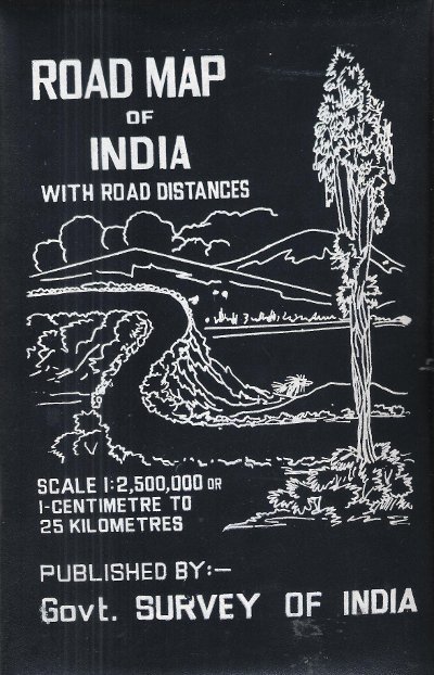
MAP OF INDIA
Road Map of India with Road Distances
Gouvernement Survey of India 1977 150 Cm x 118 Cm Carte en couleurs , imprimée sur très bon papier collé sur tissu tramé , se repliant dans une pochette plastifiée . Echelle 1 cm pour 25 kilomètres . Tableau des distances entre les grandes villes . Pour voyager en Inde ou pour afficher au mur . Trés belle carte .- 1 p. , 600 gr.
Referentie van de boekhandelaar : 015281
|
|
|
MAP - AMERICA - ADOLF STIELER.
Der nordöstliche Theil der Vereinigten Staaten von Nord America Neue Bearbeitung von Ad.St. 1831.
(Gotha, Justus Perthes), 1831. Engraved map (34,5 x 43 cm.). Handcoloured in outline. Gestochen von Joh. Carl Ausfeld.
|
|
|
MAP - AMERICA - STÜLPNAGEL, F. v.
America gezeichnet von F.v. Stülpnagel.
(Gotha, Justus Perthes), 1843. Engraved map (44 x 34 cm.). Handcoloured in outline. Having both North- and South America. Gest. von W. Behrens.
|
|
|
MAP - ARCTIC REGIONS.
Geological Map of the Arctic. Prepared by the First International Symposium on Arctic Geology sponsored by the Alberta Society of Petroleum Geologists.
Calgarry - Alberta Canada, Symposium Committee, 1960. (102 x 115 cm.). Large colourprinted circular map of the Arctic Regions. Folded. Well-preserved.
|
|
|
MAP - AUSTRALIA - STÜLPNAGEL, F. v.
Festland von Australien und benachbarte Inseln.
(Gotha, Justus Perthes), 1841. Engraved map (35,5 x 43,5 cm.). Handcoloured in outline. Fine and clean.
|
|
|
MAP - BRAZIL. - EDWARD STANFORD.
Brazil from official and other Sources prepared in the international Bureau of the American Republics, Williams C. Fox, Director.
London, Edward Stanford, 1905. (95 x 95,5 cm.). A large lithographed map of Brazil, lithographed in colours, original linen-backed and folded in 35 sections. Folded in the original cloth-case with the original printed title-label preserved. A fine copy.
|
|
|
MAP - GIBRALTAR.
Nueba Vista Gibraltar. 1782.
Wien, L. Hochenleiter, um 1782. (22 x 37 cm.). Engraved map (bird-eye-view) with ships in the sea, fortification and bombardment. Text in Spanish. Mildly brownspotted.
|
|
|
MAP - GIBRALTAR.
Plan der Berühmten Vestung Gibraltar belagert von den Spaniern und Frantzosen seit Anno 1779.
(Frankfurt am M., um 1780). (36 x 26 cm.) Engraved handcoloured map/plan of Gibraltar with text and with insets of Southern Span and North Africa around Ceuta and Tanger. A stamp in upper left corner. I.M. Zell, sculp. (Johann Michael Zell)Some brownspots.
|
|
|
MAP - IRAN und TURAN - STÜLPNAGEL, F. v.
Iran und Turan (Persien, Afghanistan, Beludschistan, Turkestan). Neue Bearbeitung von F. v. Stülpnagel.
(Gotha, Justus Perthes), 1843. Engraved map (35,5 x 44 cm.). Handcoloured in outline.
|
|

 De zoekresultaten per email ontvangen
 Zoekresultaten downloaden als PDF
 RSS feed
 Permanente link


