Harvey Maps 07/20/2014. Map. Used; Very Good. WE SHIP WITHIN 24 HRS FROM LONDON UK 98% OF OUR ORDERS ARE RECEIVED WITHIN 7-10 DAYS. We believe you will be completely satisfied with our quick and reliable service. All orders are dispatched as swiftly as possible! Buy with confidence! Greener Books. Harvey Maps unknown
Toronto: Stoddart 2001. Hardcover. VERY GOOD/VERY GOOD. 31 cm. Several small spots of green ink offsetting to first/last pages from edge of front free endpaper. New archival mylar dj cover. 228 pages. Includes bibliographical references and index. 1 atlas xi 228 p. : ill. maps some col. -- Please feel free to request additional information or detailed photos. Ships in sturdy cardboard packaging with tracking and insurance. Stoddart hardcover
Facts on File 1985. Paperback. VERY GOOD. 28 cm. Sticker removal spot to top corner of front cover. Corners slightly worn. Spine is not creased. No writing/markings. 276 pages. -- Please feel free to request additional information or detailed photos. Ships with tracking and insurance. Facts on File paperback
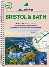
Spiral bound. New. New Book; Fast Shipping from UK; Not signed; Not First Edition; Philip's created this new series for walkers cyclists and local explorers at a scale that provides greener options to uncover all the nature and hidden gems in your local area. From Chippenham to Wilton we cover Wiltshire and Swindon unknown
Rand McNally 1981. Hardcover. VERY GOOD/VERY GOOD. 29 cm. Dust jacket is price clipped. New archival mylar dj cover. 96 pages. -- Please feel free to request additional information or detailed photos. Ships in sturdy cardboard packaging with tracking and insurance. Rand McNally hardcover
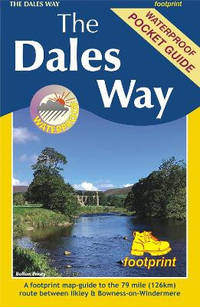
Sheet map folded. New. The Dales Way is a 79 mile 127km long distance trail in the north of England running between Ilkley in North Yorkshire and Bowness-on-Windermere in Cumbria. unknown
London: London: Simpkin Marshall Hamilton Kent & Co. Thos. Cook & Son 1925 1925 Cloth. Very Good. First Edition. Travel Geography. Owner's Name. 16mo - over 5¾" - 6¾" tall. Red/gilt color foldout map 460 pgs index many ads rear tight copy. Illus. by With Maps and Plans. 16mo - over 5¾" - 6¾" tall. Owner's Name. First Edition. Cloth. Very Good. London: Simpkin, Marshall, Hamilton, Kent & Co. Thos. Cook & Son, 1925 hardcover
 ?????????
 ?????PDF???
 RSS feed