4 068 résultats
2012réf. 1-365923690XLap Lambert Academic Publishing 2012. Paperback. New. 68 pages. 8.66x5.91x0.16 inches. Lap Lambert Academic Publishing paperback
2012réf. __365923690XLap Lambert Academic Publishing 2012. Paperback. New. 68 pages. 8.66x5.91x0.16 inches. Lap Lambert Academic Publishing paperback
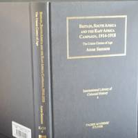
2006réf. 80788London: Tauris Academic Studies. This is a Fine Copy of this book in black cloth with bright and vibrant gilt title lettering to spine and upper cover.Issued without Dust-Jacket.This copy has no names or inscriptions present.The book has a firm binding with NO hinge weakness and there is NO leaning or rolling to spineno loose pages.Clean copy internally8vo 262pp First Edition 2006 . Fine. Hardcover. First Edition. 1st Printing. 2006. Tauris Academic Studies hardcover
réf. 44677397like new. unknown
1967réf. 120401wiley 1967 hardback book in very good conditionbookplate on first blnk page. 1st Edition. Hardcover. Very Good/No Jacket. wiley hardcover
1997réf. 12677Totowa New Jersey U.S.A.: Humana Pr Inc 1997 hardback book in fine condition. Hardcover. Fine. Totowa, New Jersey, U.S.A.: Humana Pr Inc hardcover
réf. 233003Paris, rue Saint Jacques n°33, chez Richard et Berrieux Jeune, XIXe siècle 35.5 x 26 cm (feuille) , Attachée en partie droite sur support.
1954réf. R200122313dunod. 1954. In-12. Broché. Bon état, Couv. convenable, Dos satisfaisant, Intérieur acceptable. 293 pages. Tampon sur le premier plat.. . . . Classification Dewey : 657-Comptabilité
réf. 20350977like new. unknown
réf. 20350977-nnew. unknown
réf. 50980774-nnew. unknown
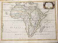
1650réf. M6678Paris: Pierre Mariette c. 1650. Very Good;. Notes: Title cartouche bordered by two outward-facing birds of prey. Norwich writes: "This is an early Sanson map. An odd feature is the name Barditus Mons given to a long chain of mountains running continuously from somewhere in Angolato Algoa Bay. No place names appear even on the coast of the southern part of the continent which is labelled 'Agi Symba' a name usually referring to the northern African region and inhabitants are 'Anthropophagi Aethiopes' or cannibals." Size : 396x553 mm 15.59x21.77 Inches Coloring: Hand Colored Reference: Norwich's Map 35. Category: Maps Africa Continent; Pierre Mariette unknown
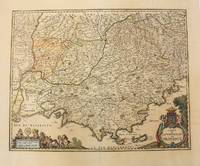
1656réf. M6320Paris 1656. Very Good. Notes: This map shows the southern coast of France. Size : 425x535 mm 16.75x21 Inches Coloring: Original Hand Coloring Category: Maps Europe France unknown
1834réf. GIT014feParis Baillière 1834. In-8 115pp. Demi chagrin brun, dos à faux nerfs orné de filets et chaînettes dorés, relié v 1865. Rousseurs par endroits. reliure décorative.
1676réf. 38217Paris: Sanson 1676. AN ATTRACTIVE MAP OF SPAIN AND PORTUGAL. 18 x 25 cm plate 23.5 x 32 cm sheet. FULLY COLORED by a later hand. Printed on fine laid paper. Reverse blank. A fine impression. A PRISTINE EXAMPLE with the paper FINE AND BRIGHT. Very scarce in such fine condition. Sanson unknown
1692réf. 55111692 Utrecht, François Halma, 1692 (suivant la copie à Paris, chez l'Auteur), 222pp. + tables. 10x16cm. Reliure en plein veau. Dos à 5 nerfs, richement orné et portant le titre en lettres dorées. Illustré d'un beau frontispice gravé. Marques de cire (cachet rouge ?) sur les gardes sinon bon exemplaire, envoi de photographies sur demande.
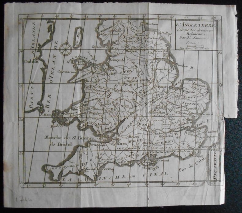
1951réf. 1659041951 N Sanson.L ' ANGLETERRE . Suivant les dernières relations.Carte de 19,5 x 16,5 ( feuille 22x19).Provient de :Père d' Orléans. Histoire des révolutions d ' Angleterre . 1744.
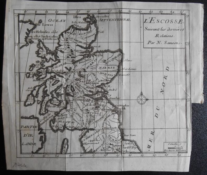
1951réf. 1659031951 N Sanson.L ' ESCOSSE . Suivant les dernières relations.Carte de 19,5 x 16,5 ( feuille 22x19).Provient de :Père d' Orléans. Histoire des révolutions d ' Angleterre . 1744.
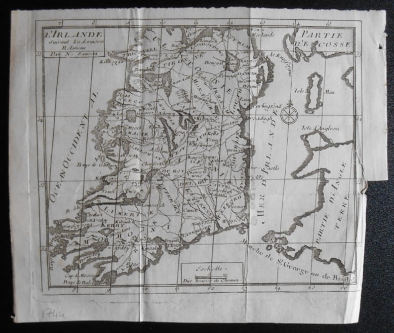
1951réf. 1659051951 N Sanson.L ' IRLANDE . Suivant les dernières relations.Carte de 19,5 x 16,5 ( feuille 22x19).Provient de :Père d' Orléans. Histoire des révolutions d ' Angleterre . 1744.
1696réf. M10211Amsterdam: Covens & Mortier c.1696. Very Good. Size : 510x605 mm 20.08x23.82 Inches Coloring: Original Outline Coloring Category: Maps Europe Germany; Covens & Mortier unknown
1652réf. 14178Paris: Sanson 1652. Double hemisphere world map showing the rivers and water bodies of the world. Original outline color. 20 3/4 x 15 3/4". Depicts Australia prior to Tasman's discoveries and labels North Australia "Beach" according to Marco Polo and California as an island. References: Shirley R.W. World 394. Sanson unknown
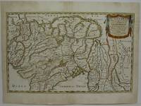
1654réf. M5952Paris 1654. Very Good some mild discoloration along the margins. Size : 350x555 mm 13.75x21.875 Inches Coloring: Original Outline Coloring Reference: Gole 16; Nebenzahl 3.9B Category: Maps Asia South East Thailand Laos Vietnam Cambodia & Burma / Myanmar; Maps Asia Central India & Sri Lanka / Ceylon; unknown
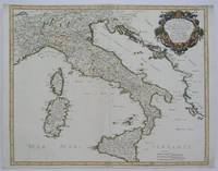
1665réf. M5118Paris 1665. Very Good central fold reinfrced. Notes: There is a water mark on the right hand portion of the map. Size : 435x540 mm 17.125x21.25 Inches Coloring: Original Outline Coloring Category: ; Maps Europe Italy unknown
1910réf. ROD0046182DESCLEE, DE BROUWER. 1910. In-12. Broché. Etat d'usage, Couv. défraîchie, Dos satisfaisant, Papier jauni. 54pp.. . . . Classification Dewey : 940.53-Seconde Guerre mondiale 1939-1945
réf. 6m5023H. Jaillot Paris 1696. Grenzkolorierte Kupferkarte gerahmt ca. 56 : 65 cm gebräunt. unknown