4045 risultati
1650rif. 011592Paris 1650. No Binding. Very Good/No Jacket. R Cordier. 1650 Normanie. Engraved by R Cordier. A fine and detailed province map with the english coast included. All important place names are shown. Original outline colour. very slight discoloration. otherwise good condition. 385 x 515 mm framed and glazed unknown
1967rif. 0983# AUTEUR: Michon (monseigneur évêque de Chartres) # ILLUSTRATEUR: Samson Charles # ÉDITEUR: Les heures claires - Paris # ANNÉE ÉDITION: 1967 # ENVOI, BEAUX PAPIERS: grand vélin de Rives # COUVERTURE: Chemise rempliée titre rouge - sous double emboitage toilé bleu d'éditeur - titre blanc en long au dos # DÉTAILS: In folio en feuilles sous chemise et emboitage 126pp + 8ff. Préface du cardinal Lefèbvre archevêque de Bourges, postface de René Gobillot. Cet ouvrage consacré à la gloire de Notre-Dame de Chartres a été réalisé avec la collaboration de Jean-Marie Lester. 20 pointes-sèches originales dont 6 hors-texte de Charles Samson tirées sur les presses de Manuel Robbe. N° 153 d'un tirage total de 200 exemplaires sur grand vélin de Rives, signé par l'auteur Roger Michon. L'illustrateur Charles Samson est, sans conteste, un des maîtres de la gravure contemporaine. Disciple de Charles Jouas, il excelle dans l'interprétation de l'âme des vieilles pierres, en respectant la patine où s'enveloppent sept siècles de prières. # PHOTOS visibles sur www.latourinfernal.com
rif. 230537Paris, MARIETTE Pierre, (vers 1662) à vue : 32 x 43,5 cm - cadre : 43 x 52.5 cm , Cadre du XXe siècle. Déchirures dont une au coin inférieur gauche et une au niveau inférieur de la pliure centrale. Taches.
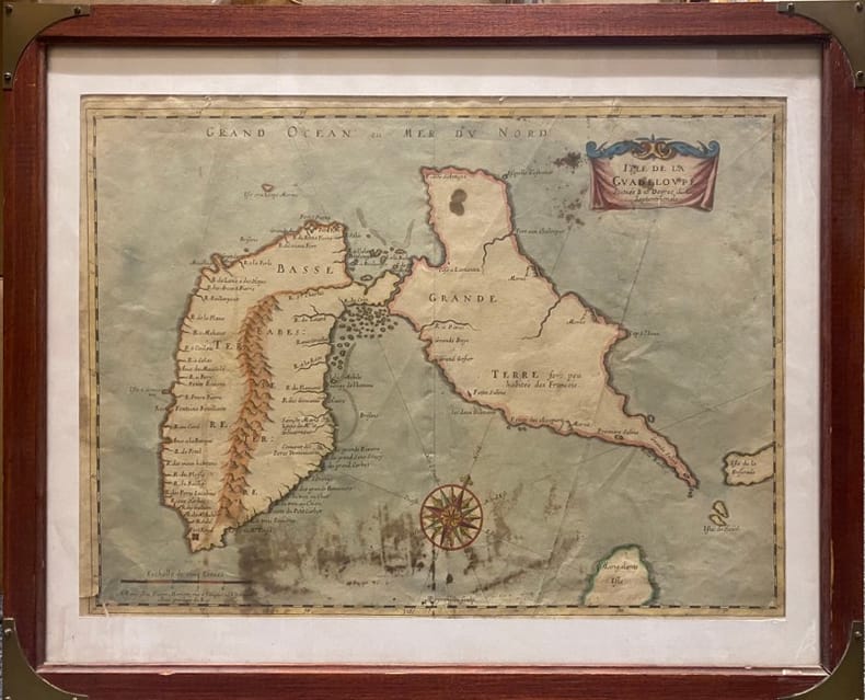
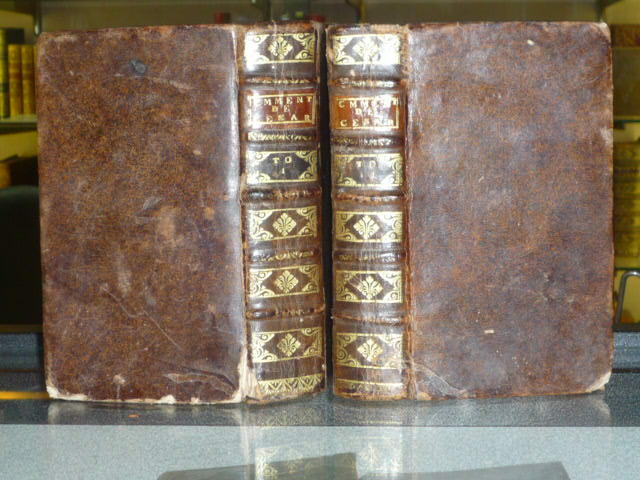
rif. 959009Antoine Et Horace Molin Lyon 1689 2 volumes in-12 ( 160X 90 mm ), reliure de l'époque pleine basane tabac, dos à nerfs orné de caissons et fleurons dorés, tranches mouchetées de rouge. Nouvelle Edition reveuë & corrigée, texte à deux colonnes, latin et français. Tome 1 : 22 ff. ( dont titre gravé par Bouchet ), 482 pp., 13 ff. n. ch., 95 pp. avec une carte dépliante et deux planches dépliantes ( Pons Caesaris et Alesia Opidum ) Tome 2 : 508 pp. et 10 ff. n. ch. avec 1 planche. Mouillure ancienne à quelques feuillets, petites usures aux reliures ( coins, coiffes, coupes ), bon exemplaire bien complet des 2 tomes, de la carte dépliante, du titre gravé et des 3 planches hors-texte. De la bibliothèque "Jacobus Decimus BLANC" ( ex-libris ).
rif. 70921Editions d'Art les Heures Claires, 1968, 1 volume de 30x39 cm environ, 93 pages, en feuillets sous chemise et emboîtage pleine toile bleue de l'éditeur. Exemplaire N° 60/80 sur grand Vélin de Rives auquel on a ajouté une suite sur Arches avec remarques. Pointes sèches de Charles Samson.Infimes frottements sur l'étui, parfait état pour le reste.
rif. 3249Americas: Amsterdam Francois Halma 1705. Copper engraved map of Brazil by N. Sanson from Halma's Algemeene Werelde Beschryving Vol. 3 Black and white; title in Dutch; verso blank; Attractive small map of Brazil; title cartouche surrounded by garland of leaves in centre of country. This map appeared in Algemeene Weereld-Beschryving nae de Rechte Verdeeling der Landschappen Plaetsen Zeeën Rivieren &c. Geographisch Politisch Historisch Chronologisch en Genealogisch a Dutch edition of A. Phérotée de la Croix's Nouvelle Methode Pour Apprendre Facilement la Geographie Universelle which first appeared in 1690. Dark impression; minor dampstain at top of centre fold. Nicolas Sanson d'Abbeville.1600-67 ' father of the French cartography' and founder of the Sanson firm. Atlas ' Cartes générales de toutes les parties du Monde' 1658-70 and a pocket atlas in 4 parts 1652-1705. Sanson's small maps from A. Phérotée de la Croix's Nouvelle Methode Pour Apprendre Facilement la Geographie Universelle. first published in 1652 and engraved by A. Peyrounin were copied several times by various map publishers. Johann David Zunners made copies of Sanson's maps for his German translation of Die Gantze Erd-Kugel in 1679. Johannes Ribbius and Simon de Vries published copies in 1682 and 1683 with new maps engraved by Antoine d'Winter. The plates were later sold to Francois Halma who used them in 1699 and then again in 1705 with the titles re-engraved in Dutch. François Halma 1653 - 1722 Dutch publisher/printer; dealer/auction house. Cartographer and publisher of maps active in Utrecht Amsterdam Franeker and Leeuwarden. Published 'Description de l'Univers' 1700; 'Algemene Wereldtbescrijving' 1705; 'Corpus Inscriptionum' 1707 and 'Lexicon Philosophicum' 1713. Keoman: Hal 1; Phillips 528. Americas South America Brazil Amsterdam Francois Halma 1705 unknown
rif. 3245Americas: Amsterdam Francois Halma 1705. Copper engraved map of Caribbean by N. Sanson from Halma's Algemeene Werelde Beschryving Vol. 3 Black and white; title in Dutch; verso blank; strapwork title cartouche. The map shows the islands of the Caribbean with the tip of Florida to the North and the coast line of Honduras and Venezuela to the South This map appeared in Algemeene Weereld-Beschryving nae de Rechte Verdeeling der Landschappen Plaetsen Zeeën Rivieren &c. Geographisch Politisch Historisch Chronologisch en Genealogisch a Dutch edition of A. Phérotée de la Croix's Nouvelle Methode Pour Apprendre Facilement la Geographie Universelle which first appeared in 1690. Dark impression. Upper margin short cut to plate mark ; extra folds to fit in binding; light dampstaining to lower margin just entering plate. Nicolas Sanson d'Abbeville.1600-67 ' father of the French cartography' and founder of the Sanson firm. Atlas ' Cartes générales de toutes les parties du Monde' 1658-70 and a pocket atlas in 4 parts 1652-1705. Sanson's small maps from A. Phérotée de la Croix's Nouvelle Methode Pour Apprendre Facilement la Geographie Universelle. first published in 1652 and engraved by A. Peyrounin were copied several times by various map publishers. Johann David Zunners made copies of Sanson's maps for his German translation of Die Gantze Erd-Kugel in 1679. Johannes Ribbius and Simon de Vries published copies in 1682 and 1683 with new maps engraved by Antoine d'Winter. The plates were later sold to Francois Halma who used them in 1699 and then again in 1705 with the titles re-engraved in Dutch. François Halma 1653 - 1722 Dutch publisher/printer; dealer/auction house. Cartographer and publisher of maps active in Utrecht Amsterdam Franeker and Leeuwarden. Published 'Description de l'Univers' 1700; 'Algemene Wereldtbescrijving' 1705; 'Corpus Inscriptionum' 1707 and 'Lexicon Philosophicum' 1713. Keoman: Hal 1; Phillips 528. Americas Caribbean Antilles Bahamas Cuba Amsterdam Francois Halma 1705 unknown
1991rif. DADAX0582404096Wiley-Interscience 1991-01-08. 2. hardcover. New. 5.75x0.90x8.85. Buy with confidence. Excellent Customer Service & Return policy. Wiley-Interscience hardcover
2015rif. Manohar-9781138793798Routledge 2015. Hardcover. New. Routledge hardcover
rif. 926869like new. unknown
rif. 926869-nnew. unknown
1690rif. M9477Paris c.1690. Very Good. Notes: A charming map of Athens Greece during the late 17th century. Size : 103x154 mm 4.06x6.06 Inches Coloring: Hand Colored Category: Maps City Maps; Maps Europe Greece Macedonia; unknown
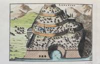
1690rif. M9478Paris c.1690. Very Good. Notes: A charming map of Lepanto Greece during the late 17th century. Size : 105x153 mm 4.13x6.02 Inches Coloring: Hand Colored Category: Maps Europe Greece Macedonia; unknown
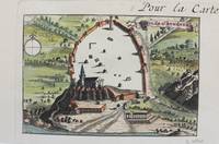
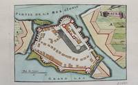
1690rif. M9472Paris c.1690. Very Good. Notes: A charming map of Santa Maura on the island of Lefkada Greece during the late 17th century. Size : 104x153 mm 4.09x6.02 Inches Coloring: Hand Colored Category: Maps Europe Greece Macedonia; unknown
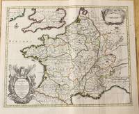
1710rif. M10329Amsterdam: Jean Covens & Corneille Mortier c.1710. Very Good. Size : 378x486 mm 14.88x19.13 Inches Coloring: Original Outline Coloring Category: Maps Europe France; Jean Covens & Corneille Mortier unknown
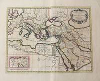
1710rif. M10321Amsterdam: Jean Covens & Corneille Mortier c.1710. Very Good. Size : 402x520 mm 15.83x20.47 Inches Coloring: Original Hand Coloring Category: Maps Mediterranean Sea; Maps Asia Middle East; Jean Covens & Corneille Mortier unknown
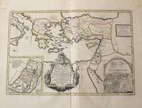
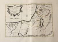
1710rif. M10319Amsterdam: Jean Covens & Corneille Mortier c.1710. Very Good. Notes: With 2 inset maps showing the Holy Land and Hierusalem. Size : 375x550 mm 14.76x21.65 Inches Coloring: Original Hand Coloring Category: Maps Asia Near East Turkey; Maps Asia Middle East Holy Land & Palestine; Maps Mediterranean Sea; Jean Covens & Corneille Mortier unknown
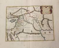
1710rif. M10250Amsterdam: Jean Covens & Corneille Mortier c.1710. Very Good. Size : 370x493 mm 14.57x19.41 Inches Coloring: Original Hand Coloring Category: Maps Asia Middle East Holy Land & Palestine; Maps Asia Middle East Iran Iraq; Jean Covens & Corneille Mortier unknown
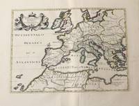
1710rif. M10326Amsterdam: Jean Covens & Corneille Mortier c.1710. Very Good. Size : 375x525 mm 14.76x20.67 Inches Coloring: Original Hand Coloring Category: Maps Africa North; Maps Europe Continent; Maps Mediterranean Sea; Jean Covens & Corneille Mortier unknown
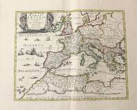
1710rif. M10331Amsterdam: Jean Covens & Corneille Mortier c.1710. Very Good. Size : 410x508 mm 16.14x20.00 Inches Coloring: Original Outline Coloring Category: Maps Africa North; Maps Europe Continent; Maps Mediterranean Sea; Jean Covens & Corneille Mortier unknown
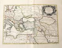
1710rif. M10332Amsterdam: Jean Covens & Corneille Mortier c.1710. Very Good. Size : 403x555 mm 15.87x21.85 Inches Coloring: Original Outline Coloring Category: Maps Mediterranean Sea; Maps Asia Middle East; Jean Covens & Corneille Mortier unknown
1710rif. M10330Amsterdam: Jean Covens & Corneille Mortier c.1710. Very Good. Size : 368x495 mm 14.49x19.49 Inches Coloring: Original Outline Coloring Category: Maps Asia Middle East Holy Land & Palestine; Maps Africa North; Maps Africa North Egypt; Jean Covens & Corneille Mortier unknown
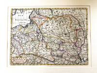
1683rif. M11172Paris c.1683. Very Good. Notes: French map showing Poland and the surrounding region. Nicolas Sanson 1600–1667 was a renowned French cartographer termed by some as the "father of French cartography." His works are known for their incorporation of the most up to date information of the time and their clean modern style. Size : 188x256 mm 7.40x10.08 Inches Coloring: Hand Colored Category: Maps Europe Poland Lithuania; unknown
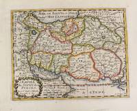
1652rif. M4655Paris 1652. Very Good. Notes: This is an important 17th-century map of Iran published in Paris by Nicolas Sanson the greatest 17th-century French cartographer. The map depicts Iran at the time of Shah Abbas II of the Safavid dynasty. It is interesting to note that present-day Afghanistan and Pakistan and even part of India sit within Iran's borders all of which were lost in due course by the kings of the Qajar dynasty. Also as Sufism was the religion of Iran at the time of the Safavid dynasty the title of the map refers to the "Empire of the Sufi of the Persians". Size : 192x247 mm 7.56x9.72 Inches Coloring: Hand Colored Reference: Ala'i E. 107. Category: Maps Asia Middle East Iran Iraq; unknown