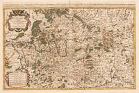
1692Best.-Nr. 33439Paris: H. Jaillot 1692. In ausgezeichnetem Zustand. . 570 by 850mm 22 by 33 inches. Hand-Colored Original Copperplate Engraving by Charles Hubert Alexis Jaillot & Nicolaus Sanson depicting Le Cercle de Franconie subdivise entous les Estats qui le composent. Dressè sur les Memotres les plus Nouveaux Parle Sr. Sanson Geographe Ordinaire du Roy. A Paris Chez H. Iaillot joignant les grands Augustins aux dewe Globes. Avec Privilege du Roypour Vingt Ans. 1692. Published Paris H. Jaillot 1692. Sheet: 570 by 850mm 22 by 33 inches. A fine and original hand-colored example of Jaillot's celebrated cartographic work documenting this region of Germany with the precision and decorative artistry characteristic of the 16900s. Alexis-Hubert Jaillot c.1632-1712 was one of the foremost French cartographers of the late 17th and early 18th centuries. Working in Paris he produced magnificent large-format maps of European territories often in collaboration with Nicolas Sanson -- considered the father of French cartography. Jaillot's maps are known for their striking decorative cartouches generous size and fine hand coloring representing the pinnacle of French Baroque cartography.This original copperplate engraving with original hand coloring depicts the region of Le Cercle de Franconie subdivise entous les Estats qui le composent. Dressè sur les Memotres les plus Nouveaux Parle Sr. Sanson Geographe Ordinaire du Roy. A Paris Chez H. Iaillot joignant les grands Augustins aux dewe Globes. Avec Privilege du Roypour Vingt Ans. 1692. published in Paris H. Jaillot 1692. The map features a decorative Baroque cartouche containing the title inscription. A distance scale is incorporated within the cartouche or alongside it. The map records the political and geographic boundaries of the region as understood in 1692 offering a fascinating window into the history of German territorial organization. Sheet measures 570 by 850mm 22 by 33 inches. In good condition overall with minor signs of age appropriate for a 17th-century engraving. Ready to frame. H. Jaillot unknown
1986Best.-Nr. x-0306422220Springer 1986. Hardcover. New. 1st edition. 483 pages. 10.00x6.75x1.25 inches. Springer hardcover
Best.-Nr. DADAX03800084240000-00-00. mass_market. New. xx. Buy with confidence. Excellent Customer Service & Return policy. unknown
2012Best.-Nr. x-1461284414Humana Press 2012. Paperback. New. 352 pages. 10.00x7.01x0.83 inches. Humana Press paperback
2006Best.-Nr. x-1441939415Springer US 2006. Paperback. New. 392 pages. 9.25x6.10x0.87 inches. Springer US paperback
2010Best.-Nr. x-3642128521Springer Verlag 2010. Hardcover. New. 1st edition. 214 pages. 9.25x6.00x0.50 inches. Springer Verlag hardcover
2010Best.-Nr. x-3642123619Springer Pub Co 2010. Hardcover. New. 197 pages. 9.50x6.50x1.00 inches. Springer Pub Co hardcover
2013Best.-Nr. x-3642264204Springer Verlag 2013. Paperback. New. 2010 edition. 228 pages. 9.25x6.10x0.54 inches. Springer Verlag paperback
2012Best.-Nr. x-3642263526Springer Verlag 2012. Paperback. New. 2010 edition. 232 pages. 9.20x6.10x0.48 inches. Springer Verlag paperback
2019Best.-Nr. __170813008XIndependently published 2019. Paperback. New. 143 pages. 11.00x8.50x0.33 inches. Independently published paperback
Best.-Nr. 645597Oxford University Press OUP . Papeback. New. pp. xvii 387 Maps Oxford University Press OUP unknown
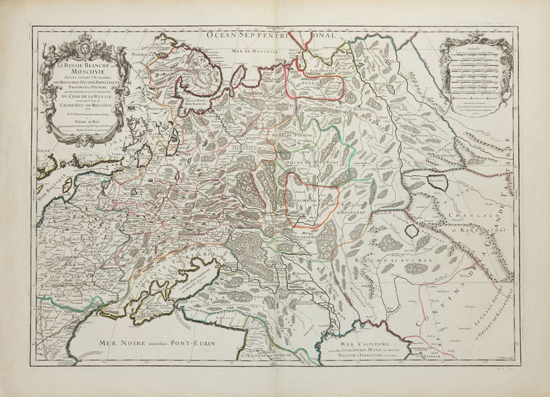
1717Best.-Nr. LBW-2261Paris, H. Jaillot, 1717. 450 x 645 mm.
1712Best.-Nr. 82342Parisiis, Delineabat Petrus Moullart-Sanson , 1712, 55x75cm, Carte colorisée. Pliure centrale. Bon état.
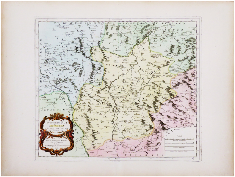
1670Best.-Nr. LBW-7226Paris, P. Mariette, 1670. 367 x 423 mm.
Best.-Nr. 98233Paris chez l'auteur 1699-1690 1 vol. relié 2 parties reliées en un vol. in-18, basane havane écailles de tortue, dos à nerfs, pièces de titre de basane bordeaux, caissons ornés de fleurons et dentelles dorées, tranches rouges, (22) + 144 et 178 + (12) + 48 pp. (cat. éd.), 4 cartes dépliantes sur les 6 (reliure de l'époque usée mais solide). Nicolas Sanson (1600-1667) né à Abbeville est cartographe célèbre du XVIIe siècle. Sa première carte importante est "Les Postes de France", en 1632.
Best.-Nr. 98233Paris chez l'auteur 1699-1690 1 vol. relié 2 parties reliées en un vol. in-18, basane havane écailles de tortue, dos à nerfs, pièces de titre de basane bordeaux, caissons ornés de fleurons et dentelles dorées, tranches rouges, (22) + 144 et 178 + (12) + 48 pp. (cat. éd.), 4 cartes dépliantes sur les 6 (reliure de l'époque usée mais solide). Nicolas Sanson (1600-1667) né à Abbeville est cartographe célèbre du XVIIe siècle. Sa première carte importante est "Les Postes de France", en 1632.
Best.-Nr. 3253Americas: Amsterdam Francois Halma 1705. Copper engraved map of Peru by N. Sanson from Halma's Algemeene Werelde Beschryving Vol. 3 Black and white; title in Dutch; verso blank; strapwork title cartouche. Small map of Tierra del Fuego showing both the Strait of Magellan and Le Maire Strait. Inland detail is confined to a mountain range and several rivers and the mythical Destroit de Browers is labeled at far right. This map appeared in Algemeene Weereld-Beschryving nae de Rechte Verdeeling der Landschappen Plaetsen Zeeën Rivieren &c. Geographisch Politisch Historisch Chronologisch en Genealogisch a Dutch edition of A. Phérotée de la Croix's Nouvelle Methode Pour Apprendre Facilement la Geographie Universelle which first appeared in 1690. Dark impression. Nicolas Sanson d'Abbeville.1600-67 ' father of the French cartography' and founder of the Sanson firm. Atlas ' Cartes générales de toutes les parties du Monde' 1658-70 and a pocket atlas in 4 parts 1652-1705. Sanson's small maps from A. Phérotée de la Croix's Nouvelle Methode Pour Apprendre Facilement la Geographie Universelle. first published in 1652 and engraved by A. Peyrounin were copied several times by various map publishers. Johann David Zunners made copies of Sanson's maps for his German translation of Die Gantze Erd-Kugel in 1679. Johannes Ribbius and Simon de Vries published copies in 1682 and 1683 with new maps engraved by Antoine d'Winter. The plates were later sold to Francois Halma who used them in 1699 and then again in 1705 with the titles re-engraved in Dutch. François Halma 1653 - 1722 Dutch publisher/printer; dealer/auction house. Cartographer and publisher of maps active in Utrecht Amsterdam Franeker and Leeuwarden. Published 'Description de l'Univers' 1700; 'Algemene Wereldtbescrijving' 1705; 'Corpus Inscriptionum' 1707 and 'Lexicon Philosophicum' 1713. Halma acquired many of the plates for Algemeene Weereld-Beschryving from Joannes Ribbius who had enlisted the services of engraver Antoine de Winter to make copies of the maps in Nicolas Sanson's quarto atlases of the four continents. De Winter made very few geographical changes and maintained the attribution to Sanson on the newly engraved plates. Halma supplemented the Sanson maps with about a dozen new maps engraved in the same style as Sanson's without any attribution on the maps as well as 23 panoramic views of famous cities around the world. Keoman: Hal 1; Phillips 528. Americas South America Tierra del Fuego Magellanica Strait of Magellan Amsterdam Francois Halma 1705 unknown
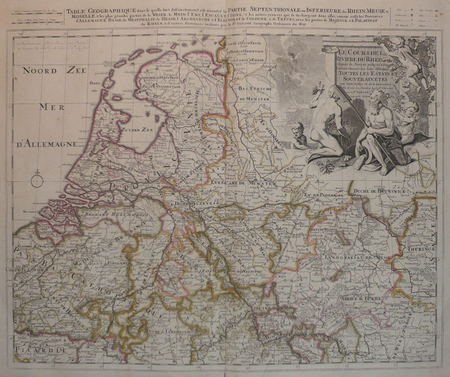
Best.-Nr. LBW0416fAmsterdam, Pierre Schenk, [circa 1700]. 472 x 575 mm.
1679Best.-Nr. LBW-7225Paris, chez l'auteur, 1679. 397 x 484 mm.
1658Best.-Nr. LBW-3423Paris, chez l'auteur, 1658. 403 x 573 mm.
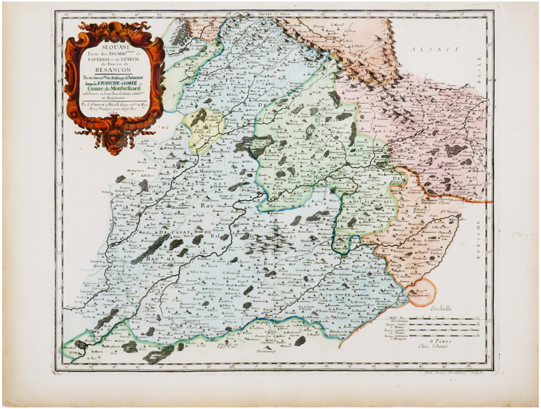
1661Best.-Nr. LBW-3670Paris, P. Mariette, 1661. 418 x 521 mm.
1661Best.-Nr. LBW-3671Paris, P. Mariette, 1661. 297 x 424 mm.
1700Best.-Nr. LBW-5388[1700]. 204 x 301 mm.
1658Best.-Nr. LBW-51971652 [1658]. 313 x 457 mm.
1656Best.-Nr. LBW-6504Paris, Pierre Mariette, 1656. 402 x 545 mm.