3 375 résultats
réf. 0666801606.Gpaperback. Good. Access codes and supplements are not guaranteed with used items. May be an ex-library book. paperback
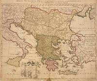
1705réf. 311838Amsterdam: Petrus Schenk 1705. unbound. Map. Engraving with original hand outline. Image measures 18 7/8" x 22 3/4" Beautiful map of southeastern Europe extending from Italy to Turkey and from Hungary to Cyprus. Published circa 1705 this map depicts the region during the Ottoman-Habsburg wars. In fair condition. Wear to original centerfold with tape repair and stain at bottom edge. Lower margin worn and frayed not affecting the image. Minor cracking and small loss near center due to oxidization of original viridian green coloring. Some foxing. Publisher's crease to upper right corner. Sold as-is. Petrus Schenk c.1660--1711 was a German engraver and cartographer. He began his training in Amsterdam in the art of mezzotint and soon began working closely with Gerard Valck. The two took advantage of the bustling cartographic trade in the city and quickly expanded their business from portraits and prints into maps and globes. In 1700 Schenk grew the business further by moving to Leipzig Germany and opening a shop. As his sons and grandson returned to the Netherlands to become active engravers as well the Schenk firm developed into one of the best-known publishing houses in 18th-century Amsterdam. This map attests to Schenk's prolific production and skill in both cartographic artistry and business. Petrus Schenk unknown books
1989réf. 134311Frankfurt am Main: Judisches Museum 1989. 1st edition. As New. large octavo. softback with stiff wrappers 206pp. col. & b/w pls. Nice copy in like unclipped dust jacket. Hard to find in this condition Judisches Museum unknown
1956réf. 44075Illustré de 19 pointes sèches en noir de Ch. Samson, exemplaire d'artiste, 1 vol. grand in-8 en feuillet sous chemise, chemise cartonnée et étui, Les Heures Claires, s.d. [ 1956 ], 155 pp.
réf. 86879Les Heures Claires, Paris, sd, illustré de 19 pointes sèches de Ch. SAMSON, in-4 sur papier pur fil de Rives, num. 413 sur 700 au total. Etui. Discrètes marques sur l'emboîtage mais parfait état intérieur.
réf. 37139Paris Les Heures Claires, (sans date, vers 1960) 0 in 8 (24x17) 1 volume reliure plein chagrin marron, dos à nerfs, tête dorée, double filet doré d'encadrement sur les plats, couverture conservée, non paginé, étui bordé. Ouvrage illustré de 12 pointes-séches de Charles Samson mises en couleurs à la main. Edition numérotée sur BFK de Rives à la forme, celui-ci un des exemplaires avec l'état définitif des 12 pointes-sèches hors-texte de Charles Samson mises en couleurs à la main (après 312 exemplaires, N° 1 à 312). Très bel exemplaire ( Photographies sur demande / We can send pictures of this book on simple request )
1955réf. 44092Pointes sèches de Ch. Samson, exemplaire numéroté (n° 606), 1 vol. in-8 en feuillets sous chemise, chemise cartonnée et étui, Les Heures Claires, s.d. (circa 1955), 54 pp. et 3 ff.
1960réf. 900311960 Editions les Heures Claires, Paris, Collection " Images de....". Sans date (vers 1960) - 1 vol in-8 (17 x 25 cm) en feuillets volants réunis dans une chemise cartonnée crême elle même engagée dans un emboîtage de la même couleur crême. Reliure éditeur, Imprimerie Raymond Jacquet. Les pointes sèches de Charles Samson ont été tirées dans l'atelier de Manuel Robbe. Un des rares 300 exemplaires mis en couleurs à la main bien complet de sa suite en noir. Exemplaire N° 296
1990réf. 192448Koln: np 1990. First edition. Softcover. 28 pages. Text in German. A fine copy in stapled wrappers. An analysis of the work of German artist Paul Heimbach. Scarce with only 1 copy listed in OCLC. np unknown books
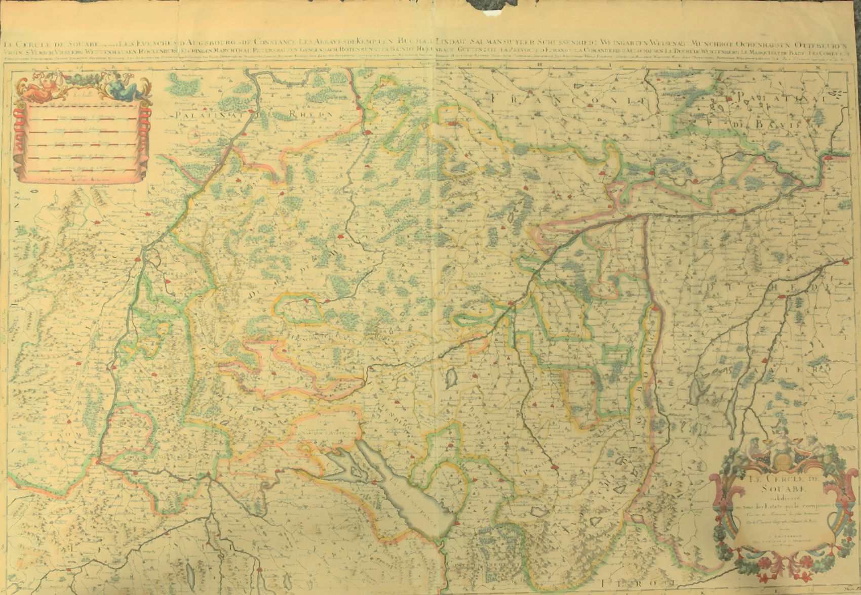
1730réf. 910097CGAmsterdam:, Covens u. Mortier, um 1730. Teilkolorierter Kupferstich, 54 x 87 cm, Blattgröße 61 x 87 cm.
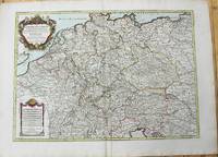
1696réf. H40716Rome: Giovannie Giacomo de Rossi 1696. Very good. Sheet measures 27.5 x 20.5 inches map itself measures 20 x 16 inches. Very good some curving and bending from having been stored rolled up but no creases or tears light toning and mildest foxing. Period hand coloring and handsome cartouche. Italian edition of the French mapmaker's map of Germany and Bohemia. Giovannie Giacomo de Rossi unknown
1785réf. M10271Paris c.1785. Very Good. Size : 470x658 mm 18.50x25.91 Inches Coloring: Original Outline Coloring Category: Maps Europe Czech Republic Slovakia; Maps Europe Germany; unknown
1708réf. M4264Paris 1708. Very Good central fold reinforced mounted on acid free canvas. Size : 474x655 mm 18.625x25.75 Inches Coloring: Hand Colored in Outline Category: ; Maps Europe Scandinavia unknown
1785réf. M10224Paris: Chez Brion 1785. Very Good. Notes: Detailed large map of Germany with large decorative cartouches. Size : 465x652 mm 18.31x25.67 Inches Coloring: Original Hand Coloring Category: Maps Europe Germany; Chez Brion unknown
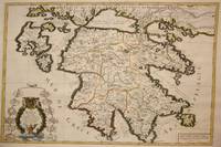
1692réf. M7546Paris: H. Jaillot c. 1692. Very Good;. Notes: The title cartouche in the lower left corner is encased in a floral wreath at the bottom of which sits a winged lion wielding a sword and standing at a pulpit. At the top of the wreath sits a coat of arms held by two winged putti. Encircling the wreath are little diagrams of various fortifications around Greece. Size : 565x845 mm 22.24x33.27 Inches Coloring: Original Outline Coloring Category: Maps Europe Greece Macedonia; H. Jaillot unknown
1778réf. M4133Paris: Fortin 1778. Very Good. Notes: Map showing Bohemia Silesia Moravia and Lusatia. Size : 420x545 mm 16.5x21.5 Inches Coloring: Hand Colored Category: Maps Europe Poland Lithuania Fortin unknown
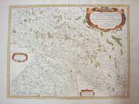
1689réf. 52354Paris. 1689. The map covers the area from the Moselle in NW to Worms in SE. ornamental cartouche at lower left. Copper engraving. Good condition though map is slightly discolured and stained. Original colour. Size: 56 x 43 cm. unknown
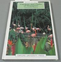
1992réf. I8181Singapore: White Lotus Press 1992. Paperback. Good/no dj. 0.24. Gardens and Parks of Singapore White Lotus Press paperback
réf. 0974948101.Gpaperback. Good. Access codes and supplements are not guaranteed with used items. May be an ex-library book. paperback
réf. a92271Paris 1681. Chez H. I Aillot. first edition Color map 33 x 22 inches with 2 inch blank border on all 4 sides. "Dresse sur les Memoirs les plus Nouveaux par le S. Sanson Geographe Ordinaire du Roy." Fancy pictorial circle around map title and similar around map's key. Densely decorated map with lines of color in red pink orange green. No tears. Folded in half. One very light stain appears water-based at center fold about 8 inches by 1 inch. Very pretty map with bold black outlines and bright colors. Good plus condition. Map - ephemera. . unknown
réf. 92107001Paris 1654 Mariette. Single sheet map center fold minor soil rubbing period hand-color outline mile key French text sheet size: ca 58 x 42 cm. map size: 58 x 35.5 cm. an early example. R A R E With a bit of faint discoloration to the lower left margin barely entering the mile chart else fairly clean. A large scale grand map grand map showing the Ocean Septentrional Glacial et Scythique aujour-dhuy Mer de Tartarie et Mer des Tenebres then to the East "Aux Arabes Deftroit de Ieffo and Terre de Iesso" or the Kurile Islands at the North of Japan. The central map area shows in single outline the areas: Russie Blan Che Mosco Vie; Tartarie Desert; Uraie Tartarie; mer Caspienne/Mer de Gilan de Tabarestan; Usbeczaga; Turchestan Turkestan Central Asia; Cathay; Empire des Perses; Empire du Grand Mogol Mongolia; Partie du Roy au de la Chine with the great wall. The South East corner shows Corey Isle Korea and a tiny tip of the adjacent Iesso Hokkaido or the Kurile Islands the Ocean Oriental. A rather outstanding early view of the Northern and Central Asian areas West of China proper. Includes such mystical place names as Girgian Samarcand Ciartiam Cazan Steppe area Mongolia and the vast Gobi desert &c. Also shows mountains forests lakes rivers cities and borders oceans and deserts. Maps of this area and scale are unusual. Nicely executed early map. . unknown
2003réf. 2-2868478255PU Rennes 2003. Paperback. New. 562 pages. French language. 9.37x6.30x1.42 inches. PU Rennes paperback
réf. 2343199892.Gpaperback. Good. Access codes and supplements are not guaranteed with used items. May be an ex-library book. paperback
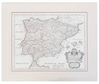
1710réf. 13749441710. A map of Spain by French cartographer Nicolas Sanson 1600-1667 in a later Italian edition dated 1710. In Excellent condition with even age toning. Double matted. Mat: w 28.25 in. x h 23.5; Map: w 24.25 in. x h 19 in. Shelved at DuPont. 1374944. Arts & Antiques. unknown books
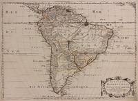
1650réf. 309461Paris: Pierre Mariette 1650. unbound. Abraham Peyrounin. Map. Engraving with original outline color. Image measures 15 3/4" x 21 3/4" This exceptionally fine map of South America covers the continent in fine detail. Coastlines are extensively labeled and mountains beautifully rendered in profile. The Orinoco and Amazon Rivers as well as Rio de la Plata are prominently rendered. Sanson refrains from drawing a southern coastline to Tierra del Fuego and the relatively unknown Amazon region is depicted in minimal detail. Sanson does however include the mythical lake "Lac de Parime" and the city of gold "Manoa del Dora" between the Orinoco and Amazon rivers. Nice dark impression. In very good condition. Minor dampstain to lower margin not affecting the image and some faint stains near the center of the map - otherwise clean and bright. Hard to find. Nicolas Sanson 1600-1667 is considered the founder of the French school of cartography. In reaction to the prevailing trend of Dutch lavishness Sanson favored minimal details focusing rather on accurate cartography than ornament. Pierre Mariette unknown books