Sanson Véronique - Sanson Véronique - Sanson VéroniqueLivre Rare Book

3980 risultati
1981rif. 111010Piano Blanc 1981
1979rif. 111009Piano Blanc 1979
1952rif. 79478Société Intercontinentale de Musique 1952
1936rif. 5823Francis Day 1936
1988rif. 111008Piano Blanc 1988
1979rif. 111006Piano Blanc 1979
1988rif. 111005Piano Blanc 1988
1985rif. 111002Piano Blanc 1985
1997rif. 111003Piano Blanc 1997
1972rif. 111000Piano Blanc 1972
1985rif. 110999Piano Blanc 1985
1926rif. 20922Partitions sur la Provence Bosc 1926
1988rif. 110997Piano Blanc 1988
1962rif. 102757Lemarque Francis 1962
1997rif. 110996Piano Blanc 1997
1946rif. 20793Bernard 1946
1936rif. 5822Francis Day 1936
1985rif. 110993Piano Blanc 1985
1997rif. 110992Piano Blanc 1997
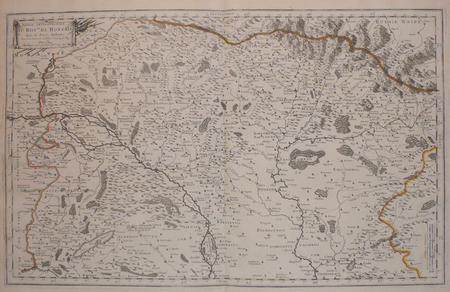
rif. LBW006afParis chez l'autheur 1699 361 x 580 mm.
1674rif. M1744Paris: Jaillot Hubert 1674. Very Good to Excellent. Size : 572x840 mm 22.5x33 Inches Coloring: Original Outline Coloring Category: ; Maps Europe Benelux Jaillot, Hubert unknown
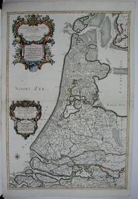
rif. #[63428]Map of North Holland with Tessel island. Large cartouche on the left with title dedication and explanation concerning the scales adopted for this map. The title is printed from a different plate. Titled: 'PARTIE SEPTENTIONALE DU COMTÉ DE / HOLLANDE. / Dressée sur les Memoires les plus Nouveaux. / Par le S.r SANSON Geographe ordinaire du Roy.' // 'Presenté A MONSEIGNEUR LE DAUPHIN / Par son tres-humple tres-Obeissant et tres fidele Serviteur / Alexis Hubert Iaillot.' On the bottom of the scales: 'A Paris chez H. Iallot joignant kes grands Augustins aux deux Globes. / Avec Privilege du Roy pour Vingt Ans. / 1699' last number '9'in pen and brown ink. In fact the original plate does not show the last number which was supposed to be added in a second moment. l Etching and engraving on paper trimmed to plate mark partially hand coloured; total: 431 x 564 mm; pasted on thick paper some losses of paper some stains corners with pinholes and further damages. Folding line in the middle top part of the folding damaged. unknown
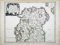
rif. 6991Paris: 1665. No binding. Very Good. 400 x 490 mm. in fine early outline colour in very good condition. This map of northern Ireland was published in Paris by Pierre Mariette. It was first introduced in to a later edition of Nicolas Sanson's ""Les Cartes Generales"" in 1665. Nicolas Sanson was to bring about the rise of French cartography although the fierce competition of the Dutch would last until the end of the century. This shift in cartographic centres shadowed the relative fortunes of the two countries; France under Louis XIV was a growing power in Europe. Born in Abbeville in the Picardy region of France 1600 Sanson studied history and turned to cartography as a means of recording it. In 1630 he was made Géographe Ordinaire du Roi and was to become one of the tutors to Louis XIV. However his future success was partly owing to the partnership he made with the publisher Pierre Mariette. In 1644 the latter had purchased the business of Melchoir Tavernier and helped Sanson with financial support in producing the maps for the planned atlas. His atlas is the first full world atlas to be produced in France. This work had been in development for several years as the dates on the various maps attest. A fine example of the first state. Bonar-Law 1997 no. 11 st. 1; Pastoureau 1984 Sanson Vb no. 124. 1665 unknown
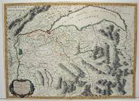
1663rif. M645Paris: Mariette Pierre 1663. Excellent. Size : 420x575 mm 16.5x22.625 Inches Coloring: Hand Colored Category: ; Maps Europe Switzerland Mariette, Pierre unknown
1674rif. bb3401Jaillot H. Carte 1674 Carte de 42 x 55 cm en une partie : frontières colorées ; très bon exemplaire. Livraison a domicile (La Poste) ou en Mondial Relay sur simple demande.