3980 risultati
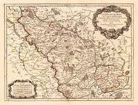
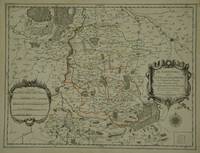
rif. 30597Paris: Jaillot. 1681. 43 x 57 cm. Original outline colour. Single page folio map of Limborg and its envirions. Blank on verso. Small tear with loss to upper right margin. Some light stains at right margin though not affecting image otherwise in very good condition. Paris: Jaillot. 1681 unknown
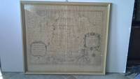
rif. 6m5023H. Jaillot Paris 1696. Grenzkolorierte Kupferkarte gerahmt ca. 56 : 65 cm gebräunt. unknown
1990rif. 15789Paris Moniteur 1990 Grand In-8 Ecu et Fort 299 pp.
1998rif. RO30302758France loisirs. 1998. In-4. Cartonné. Bon état, Couv. convenable, Dos satisfaisant, Intérieur frais. 127 pages augmentées de nombreuses photos en couleurs, dans et hors texte.. . . . Classification Dewey : 390-Coutumes, savoir-vivre, folklore
1985rif. R320111020SOLAR. 1985. In-Folio. Relié. Bon état, Couv. convenable, Dos satisfaisant, Intérieur frais. 89 pages augmentées de nombreuses illustrations en couleurs dans et hors texte .. . . . Classification Dewey : 635.91-Bonsaïs
1985rif. RO80198089SOLAR. 1985. In-4. Relié. Bon état, Couv. convenable, Dos satisfaisant, Intérieur frais. 89 pages augmentées de nombreuses photographies en couleurs dans et hors texte -. . . . Classification Dewey : 635.91-Bonsaïs
1986rif. 300030428France loisirs 1986 89 pages 1986. 89 pages.
1986rif. R300026750FRANCE LOISIRS. 1986. In-4. Relié. Etat d'usage, Couv. convenable, Dos satisfaisant, Mouillures. 89 pages - nombreuses illustrations en couleurs dans et hors texte - traces de mouillures à l'intérieur de l'ouvrage provoquant des petite déchirures en fin d'ouvrage sans conséquence sur la lecture.. . . . Classification Dewey : 635.91-Bonsaïs
1991rif. 67353Solar 1991 In-4 relié 26,8 cm sur 21,2. Bon état d’occasion.
rif. 18919Solarn, 1985. Format 21x27 cm, reliure editeur, 89 pages. Bon etat.
1985rif. R300026699SOLAR. 1985. In-4. Relié. Etat d'usage, Plats abîmés, Dos satisfaisant, Intérieur frais. 89 pages illustrées de photos dans le texte.. . . . Classification Dewey : 635.91-Bonsaïs
rif. 118019aafParis, 1652, carte gravée sur cuivre, coloriée d’époque, 1 feuille. (31x38 cm).
1742rif. 38209Amsterdam: Pierre Mortier 1742. A BEAUTIFUL HAND-COLORED MAP OF WESTERN LANGUEDOC and areas to the west and north. 60 x 45.5 cm plate 62 x 52 cm sheet. The areas described in the title are FULLY COLORED BY A CONTEMPORARY HAND. Printed on fine thick laid paper. Reverse blank. A fine impression. A PRISTINE EXAMPLE with the paper FINE AND BRIGHT. Very scarce in such fine condition. Pierre Mortier unknown
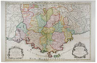
rif. 122122Paris 1692. . Double page engraved map with fine original hand-colour with two decorative cartouches surrounded by animals and foliage. Sheet size: 950 mm x 600 mm. Some minor offset and tiny worm holes otherwise very good. The map is dedicated to Jean-Baptiste Antoine Colbert Marquis de Seignelay the eldest son of the French minister of the same name who served Louis XIV. Alexis-Hubert Jaillot 1632-1712 was a French cartographer. He joined the Sanson heirs and redrew Nicolas Sanson's maps on a larger scale. 'Atlas Nouveau' 1674 sea-atlas ' Le Neptune François' 1693. Paris, 1692. unknown
1997rif. 17742Calmann-Lévy, 1997, in-8°, 197 pp, broché, bon état, envoi a.s.
rif. 31404Broché, 21X14 cm, 1997, 197 pages, éditions Calmann-Lévy. Bon exemplaire.
1710rif. 902221AGAmsterdam:, Pierre Mortier, [um 1710]. Altkolorierter Kupferstich 42,5 x 56,5 cm, Blattgröße 49 x 63 cm.
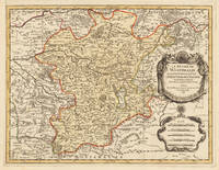
1696rif. 33637Paris 1696. Schönes tadelloses Exemplar. . 803 by 560mm 31 by 22 inches. Hand-Colored Original Copperplate Engraving by Alexis-Hubert Jaillot & N. Sanson depicting Le Duché De Westphalie ainsi qu`il est presentement possedé par L`Eslecteur De Cologne. Tiré des Memoires les pl. recents Par le Sr. Sanson Geographe Ordinaire du Roy A Paris. Published Paris 1696. Sheet: 803 by 560mm 31 by 22 inches. A fine and original hand-colored example of Jaillot's celebrated cartographic work documenting this region of Germany with the precision and decorative artistry characteristic of the 16900s. Alexis-Hubert Jaillot c.1632-1712 was one of the foremost French cartographers of the late 17th and early 18th centuries. Working in Paris he produced magnificent large-format maps of European territories often in collaboration with Nicolas Sanson -- considered the father of French cartography. Jaillot's maps are known for their striking decorative cartouches generous size and fine hand coloring representing the pinnacle of French Baroque cartography.This original copperplate engraving with original hand coloring depicts the region of Le Duché De Westphalie ainsi qu`il est presentement possedé par L`Eslecteur De Cologne. Tiré des Memoires les pl. recents Par le Sr. Sanson Geographe Ordinaire du Roy A Paris. published in Paris 1696. The map records the political and geographic boundaries of the region as understood in 1696 offering a fascinating window into the history of German territorial organization. Sheet measures 803 by 560mm 31 by 22 inches. In good condition consistent with its age of over 320 years. Ready to frame. unknown
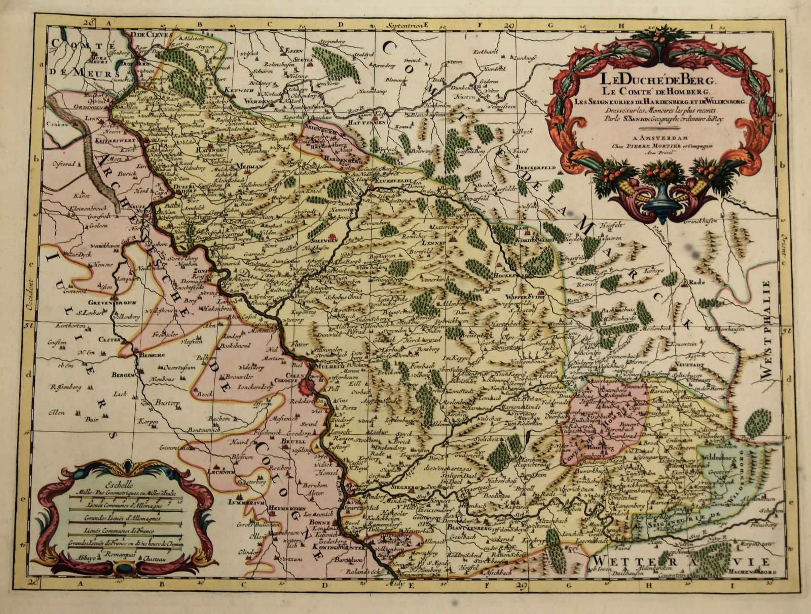
1700rif. 24651Paris: H. Jaillot. 1700. Other. In excellent condition. 428 by 570mm 16 by 22 inches. 428 by 570mm 16 by 22 inches. Hand-Colored Original Copperplate Engraving by Alexis-Hubert Jaillot & N. Sanson depicting Le Duché de Berg le Comté de Homberg les Seigneuries de Hardenberg et de Wildenborg. Dressé surles Memoires les plus recents. Parle Sr. Sanson Geographe ordinaire du Roy. A Paris. Chez H. Iaillot joignant les grands Augustins aux deux Globes Aure Privilege du Roy. 1700. Published Paris H. Jaillot. 1700. Sheet: 428 by 570mm 16 by 22 inches. A fine and original hand-colored example of Jaillot's celebrated cartographic work documenting this region of Germany with the precision and decorative artistry characteristic of the 17000s. Alexis-Hubert Jaillot c.1632-1712 was one of the foremost French cartographers of the late 17th and early 18th centuries. Working in Paris he produced magnificent large-format maps of European territories often in collaboration with Nicolas Sanson -- considered the father of French cartography. Jaillot's maps are known for their striking decorative cartouches generous size and fine hand coloring representing the pinnacle of French Baroque cartography.This original copperplate engraving with original hand coloring depicts the region of Le Duché de Berg le Comté de Homberg les Seigneuries de Hardenberg et de Wildenborg. Dressé surles Memoires les plus recents. Parle Sr. Sanson Geographe ordinaire du Roy. A Paris. Chez H. Iaillot joignant les grands Augustins aux deux Globes Aure Privilege du Roy. 1700. published in Paris H. Jaillot. 1700. The map records the political and geographic boundaries of the region as understood in 1700 offering a fascinating window into the history of German territorial organization. Sheet measures 428 by 570mm 16 by 22 inches. In good condition overall with minor signs of age appropriate for a 18th-century engraving. Ready to frame. H. Jaillot. unknown
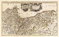
1696rif. 25836Paris: Hubert Jaillot 1696. Other. In excellent condition. 545 by 874mm 21 by 34 inches. 545 by 874mm 21 by 34 inches. Hand-Colored Original Copperplate Engraving by Nicolas d Abbeville Sanson depicting Le Duche de Pomeranie divis en ses Principales Parties Dress sur les Memoires les plus Nouveaux. Par le Sr. Sanson. Geographe Ordinaire du Roy. A Paris Chez H Iaillot. joignant les grands Augustins aux deux Globes Avec Privilege du Roy Pourvingt Ans 1696. Published Paris Hubert Jaillot 1696. Sheet: 545 by 874mm 21 by 34 inches. A fine and original hand-colored example of Sanson's celebrated cartographic work documenting this region of Germany with the precision and decorative artistry characteristic of the 16900s. Nicolas d Abbeville Sanson was a cartographer active in the 1600s working in the tradition of European copper-engraved cartography. Their maps are valued by collectors for their historical accuracy and decorative quality.This original copperplate engraving with original hand coloring depicts the region of Le Duche de Pomeranie divis en ses Principales Parties Dress sur les Memoires les plus Nouveaux. Par le Sr. Sanson. Geographe Ordinaire du Roy. A Paris Chez H Iaillot. joignant les grands Augustins aux deux Globes Avec Privilege du Roy Pourvingt Ans 1696. published in Paris Hubert Jaillot 1696. The map records the political and geographic boundaries of the region as understood in 1696 offering a fascinating window into the history of German territorial organization. Sheet measures 545 by 874mm 21 by 34 inches. In good condition overall with minor signs of age appropriate for a 17th-century engraving. Ready to frame. Hubert Jaillot unknown
rif. 6209976379.Gpaperback. Good. Access codes and supplements are not guaranteed with used items. May be an ex-library book. paperback
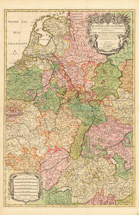
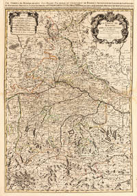
1692rif. 33626Paris 1692. Schönes tadelloses Exemplar. . 803 by 560mm 31 by 22 inches. Hand-Colored Original Copperplate Engraving by Alexis-Hubert Jaillot & N. Sanson depicting Le Cours de la Riviere du Rhein depuis sa Source jusques a son Emboucheure ou sont distingues Tout les Estats et Souverainetes qui sont dessus et aux enuirons. Tire de tous les Memoires les plus Nouveaux Parle Sr. Sanson Geopgraphe Ordinaire du Roy. Published Paris 1692. Sheet: 803 by 560mm 31 by 22 inches. A fine and original hand-colored example of Jaillot's celebrated cartographic work documenting this region of Germany with the precision and decorative artistry characteristic of the 16900s. Alexis-Hubert Jaillot c.1632-1712 was one of the foremost French cartographers of the late 17th and early 18th centuries. Working in Paris he produced magnificent large-format maps of European territories often in collaboration with Nicolas Sanson -- considered the father of French cartography. Jaillot's maps are known for their striking decorative cartouches generous size and fine hand coloring representing the pinnacle of French Baroque cartography.This original copperplate engraving with original hand coloring depicts the region of Le Cours de la Riviere du Rhein depuis sa Source jusques a son Emboucheure ou sont distingues Tout les Estats et Souverainetes qui sont dessus et aux enuirons. Tire de tous les Memoires les plus Nouveaux Parle Sr. Sanson Geopgraphe Ordinaire du Roy published in Paris 1692. The map records the political and geographic boundaries of the region as understood in 1692 offering a fascinating window into the history of German territorial organization. Sheet measures 803 by 560mm 31 by 22 inches. In good condition overall with minor signs of age appropriate for a 17th-century engraving. Ready to frame. unknown
1692rif. 28137Paris 1692. Other. Schönes tadelloses Exemplar. . 803 by 560mm 31 by 22 inches. Hand-Colored Original Copperplate Engraving by Alexis-Hubert Jaillot & N. Sanson depicting Le Cours de la Riviere du Rhein depuis sa Source jusques a son Emboucheure ou sont distingues Tout les Estats et Souverainetes qui sont dessus et aux enuirons. Tire de tous les Memoires les plus Nouveaux Parle Sr. Sanson Geopgraphe Ordinaire du Roy. Published Paris 1692. Sheet: 803 by 560mm 31 by 22 inches. A fine and original hand-colored example of Jaillot's celebrated cartographic work documenting this region of Germany with the precision and decorative artistry characteristic of the 16900s. Alexis-Hubert Jaillot c.1632-1712 was one of the foremost French cartographers of the late 17th and early 18th centuries. Working in Paris he produced magnificent large-format maps of European territories often in collaboration with Nicolas Sanson -- considered the father of French cartography. Jaillot's maps are known for their striking decorative cartouches generous size and fine hand coloring representing the pinnacle of French Baroque cartography.This original copperplate engraving with original hand coloring depicts the region of Le Cours de la Riviere du Rhein depuis sa Source jusques a son Emboucheure ou sont distingues Tout les Estats et Souverainetes qui sont dessus et aux enuirons. Tire de tous les Memoires les plus Nouveaux Parle Sr. Sanson Geopgraphe Ordinaire du Roy published in Paris 1692. The map records the political and geographic boundaries of the region as understood in 1692 offering a fascinating window into the history of German territorial organization. Sheet measures 803 by 560mm 31 by 22 inches. In good condition consistent with its age of over 330 years. Ready to frame. unknown
1938rif. 98964P., Librairie Technique et Economique, 1938, gr. in-8°, 189 pp, biblio, broché, bon état. Rare
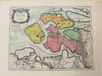
1693rif. M10774Paris 1693. Very Good. Notes: Map of the county of Zeeland. Size : 440x575 mm 17.32x22.64 Inches Coloring: Original Hand Coloring Category: Maps Europe Benelux; unknown