Samson Raphael HirschBiblio.com

4.034 Ergebnisse
Best.-Nr. 0656338334.Ghardcover. Good. Access codes and supplements are not guaranteed with used items. May be an ex-library book. hardcover
Best.-Nr. 066638052X.Ghardcover. Good. Access codes and supplements are not guaranteed with used items. May be an ex-library book. hardcover
Best.-Nr. 0666573603.Ghardcover. Good. Access codes and supplements are not guaranteed with used items. May be an ex-library book. hardcover
Best.-Nr. 028266324X.Gpaperback. Good. Access codes and supplements are not guaranteed with used items. May be an ex-library book. paperback
1985Best.-Nr. 92041Montreal: Department de sexologie Universite du Quebec a Montreal 1985. Oblong comb-bound printed wrappers. Light shelfwear; small tear to cover at top of psine. Very good. Oblong 4to. vi 137 pp. Intro. mots-cles et concepts particuliers index des mots-cles liste des periodiques bibliographie thematique. 4225 listings. Department de sexologie, Universite du Quebec a Montreal unknown
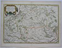
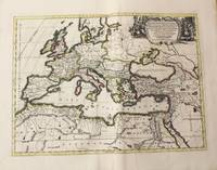
1655Best.-Nr. M5101Paris 1655. Excellent. Size : 395x560 mm 15.5x22 Inches Coloring: Original Outline Coloring Category: ; Maps Europe Poland Lithuania unknown
1972Best.-Nr. 744104PN. New. 1972. Soft Cover. Date is original print. This is a reprint edition. . PN paperback
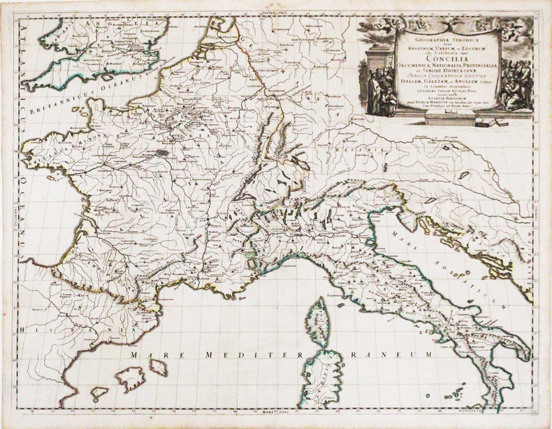
1667Best.-Nr. LBW-3266Paris, Pierre Mariette, 1667. 422 x 554 mm.
1704Best.-Nr. 48770Amsterdam, Franciscus Halma, 1704. Folio. (45,5 x 29 cm.). Contemp. full blindtooled Dutch vellum. Raised bands. Spine ends with tears, some cracking along fronthinge, but not loose. Vellum at frontcover a bit soiled. Egraved titlepage (Coxis del., ianen fecit). Printed titlepage in red/black with an engraved vignette. 15,(119),51,(1) pp., 1 engraved plate with portrait and coat of arms. 4 large folded engraved maps. Light yellowing to margins of textleaves, but maps and text fine and clean. (3 of the maps engraved by F. Halma).
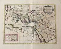
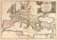
1710Best.-Nr. M10321Amsterdam: Jean Covens & Corneille Mortier c.1710. Very Good. Size : 402x520 mm 15.83x20.47 Inches Coloring: Original Hand Coloring Category: Maps Mediterranean Sea; Maps Asia Middle East; Jean Covens & Corneille Mortier unknown
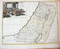
1660Best.-Nr. M7049Paris 1660. Very Good;. Notes: French map of the Holy Land with a decorative cartouche. Nicolas Sanson 1600–1667 was a renowned French cartographer termed by some as the "father of French cartography." His works are known for their incorporation of the most up to date information of the time and their clean modern style. Size : 385x485 mm 15.16x19.09 Inches Coloring: Hand Colored Category: Maps Asia Middle East Holy Land & Palestine; unknown
1710Best.-Nr. M10325Amsterdam: Jean Covens & Corneille Mortier c.1710. Very Good. Size : 413x562 mm 16.26x22.13 Inches Coloring: Original Hand Coloring Category: Maps Europe Continent; Maps Africa North; Maps Mediterranean Sea; Jean Covens & Corneille Mortier unknown
1667Best.-Nr. 25060Paris: P. Mariette 1667. Other. The centre fold minor spotting else in excellent condition. 395 by 565mm 15 by 22 inches. Rare and decorative large-format historical map of Europe showing the locations of Church Councils and Synods in original outline color. By Guillaume Sanson 16331703 Géographe du Roy published by Pierre Mariette Paris 1667. Image: 395 x 565 mm 15.5 x 22 inches. Decorated with a superb allegorical title cartouche depicting a Catholic council in session a unique historical and cartographic document. Guillaume Sanson 16331703 was a leading French cartographer who inherited the celebrated family firm from his father Nicolas Sanson 16001667 known as the 'Father of French Cartography' and official Géographe du Roy to Louis XIV. Like his father Guillaume held the title of Géographe Ordinaire du Roy. Much of his work after 1671 was published in collaboration with Alexis-Hubert Jaillot and together the Sanson dynasty dominated French cartography throughout the 17th century. Their maps are held in the Bibliothèque nationale de France the British Library and major research collections worldwide.This large and striking map plots the locations of ecumenical councils national synods provincial councils and diocesan synods across Europe a unique cartographic subject of combined religious and historical significance. The coverage extends from the British Isles and Iberian Peninsula across to the eastern Mediterranean including Cyprus and Syria with North Africa also shown. Political borders are rendered in hand-applied outline color. The splendid allegorical title cartouche depicts a Catholic council in session and was engraved to the highest standard of the Parisian workshop. The Geographia Synodica is among the most unusual and collectible maps ever published of Europe: a historic document of scholarship faith and cartographic craft. In excellent condition. Original outline color fresh and vivid. The centrefold shows minor spotting as expected for a 17th-century map of this size; all else excellent. No tears or significant foxing. 395 x 565 mm. P. Mariette unknown
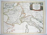
1667Best.-Nr. M2849Paris 1667. Excellent. Size : 424x563 mm 16.625x22.125 Inches Coloring: Original Outline Coloring Category: ; Maps Europe France; Maps Europe Italy unknown
1704Best.-Nr. 48770Amsterdam Franciscus Halma 1704. Folio. 455 x 29 cm. Contemp. full blindtooled Dutch vellum. Raised bands. Spine ends with tears some cracking along fronthinge but not loose. Vellum at frontcover a bit soiled. Egraved titlepage Coxis del. ianen fecit. Printed titlepage in red/black with an engraved vignette. 15119511 pp. 1 engraved plate with portrait and coat of arms. 4 large folded engraved maps. Light yellowing to margins of textleaves but maps and text fine and clean. 3 of the maps engraved by F. Halma. The maps are the Francois Halma reissues of Sanson's maps from 1683. hardcover
Best.-Nr. 83285Berlin, Hasselberg’sche Verlagshandlung ohne Jahr, 190x130mm, 199 + 190 + 191Seiten, Halbperkalin.
Best.-Nr. 83285Berlin : Hasselberg’sche Verlagshandlung ohne Jahr. demi-percaline. SANSON H.Geheimnisse des Schaffots. Memoiren der Scharsricher-Familie Sanson 1685-1847. 1. 2.und 3. Bd. in 1 Band. Berlin Hasselberg’sche Verlagshandlung ohne Jahr 190x130mm 199 190 191 Seiten Halbperkalin. No hidden customs fees for orders shipped to the U.S.A with a value of up to 800 USD PDDP shipping we pay the VAT in advance Hasselberg’sche Verlagshandlung unknown
2005Best.-Nr. R300269955Gaz de Bordeaux/Le petit théâtre. 2005. In-8. Broché. Etat d'usage, Couv. convenable, Agraffes rouillées, Intérieur frais. 25 pages - quelques photos en noir et blanc dans le texte. Plats contrepliés en un rabat.. . . . Classification Dewey : 750-La peinture et les peintres
2013Best.-Nr. 1-1598269526Philipp Feldheim 2013. Hardcover. New. 368 pages. 8.90x6.30x1.40 inches. Philipp Feldheim hardcover
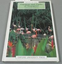
1992Best.-Nr. I8181Singapore: White Lotus Press 1992. Paperback. Good/no dj. 0.24. Gardens and Parks of Singapore White Lotus Press paperback
Best.-Nr. 008101600X.Gpaperback. Good. Access codes and supplements are not guaranteed with used items. May be an ex-library book. paperback
Best.-Nr. 0123846986.Ghardcover. Good. Access codes and supplements are not guaranteed with used items. May be an ex-library book. hardcover
2011Best.-Nr. STM-9780123846983United States: Academic Press 2011. Hardbound. Brand New. Book Condition:- Brand New. Secured Packaging. Fast DeliveryBookseller Inventory # 9780123846983 Academic Press hardcover
2011Best.-Nr. BN527974Academic Press 2011. 2011. Hardcover. Game Theory and Learning for Wireless Networks: Fundamentals and Applications Game Theory and Learning for Wireless Networks: Fundamentals and Applications Samson Lasaulce BSc MSc PhD et Hamidou Tembine BSc MSc PhD Academic Press hardcover
1760Best.-Nr. M7988Paris: Sr. Delamarche c.1760. Very Good. Notes: Engraved by Delahaye. Large scale attractive map of France. Size : 493x668 mm 19.41x26.30 Inches Coloring: Original Hand Coloring Category: Maps Europe France; Sr. Delamarche unknown