Lobo, SamsonBiblio.com

4,014 results
ref. 9362244047.Ghardcover. Good. Access codes and supplements are not guaranteed with used items. May be an ex-library book. hardcover
ref. SLIVCN-9782385781804GOOD MOOD DEALER BY EXERGUE
ref. SLIVCN-9782760109537GUERIN EDITEUR (CA)
ref. SLIVCN-9782760125865GUERIN EDITEUR (CA)
ref. 6209120792.Gpaperback. Good. Access codes and supplements are not guaranteed with used items. May be an ex-library book. paperback
ref. 6209068472.Gpaperback. Good. Access codes and supplements are not guaranteed with used items. May be an ex-library book. paperback
ref. 6209088775.Gpaperback. Good. Access codes and supplements are not guaranteed with used items. May be an ex-library book. paperback
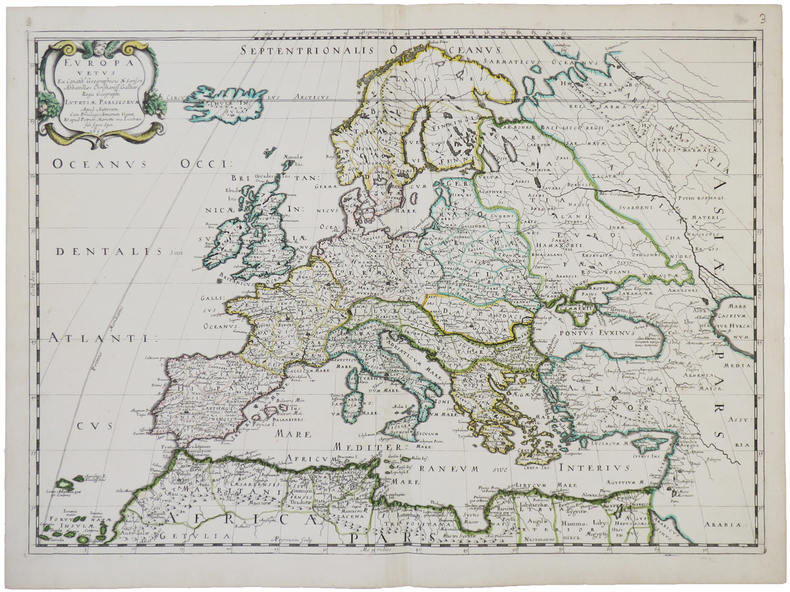
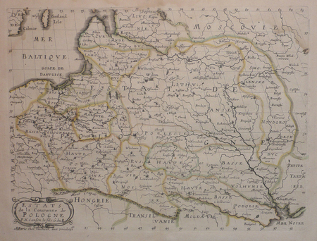
1650ref. LBW-4944Paris, chez l'auteur et chez Pierre Mariette, 1650. 393 x 553 mm.
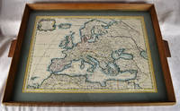
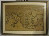
1650ref. 2312280001Petrum Mariette: Lutetiae Parisiorum 1650. First Edition. Maps. Very Good. Ancient Europe : The Roman Empire Fine hand-colored double-page engraved map of Roman provinces of Europe. Mounted in wood frame with wooden side handles. Dimensions of mounted image: 40 x 56 cm. 53 x 69.5 cm in frame. Latin province names cities seas. This is an oversized or heavy book which requires additional postage for international delivery outside the US. Petrum Mariette: Lutetiae Parisiorum unknown
ref. 14216177-6Used - Good. Pages intact with minimal writing/highlighting. The binding may be loose and creased. Dust jackets/supplements are not included. Stock photo provided. Product includes identifying sticker. Better World Books: Buy Books. Do Good. unknown
ref. AISLE9/Box46/RSi10/260826Mar 01 2000. Very Good. This copy is in Very Good condition — a well-preserved book that has been read but carefully maintained. Pages are clean and free from writing highlighting or significant marks. The spine is intact with only light creasing and the covers show minimal wear. Please note: no dust jacket is included with this copy. Every book we list is individually hand-checked by our team at Kisharon Langdon New Chapters. We take pride in honest accurate grading — what you read is what you receive. New Chapters is a social enterprise supporting people with Learning Disabilities and Autistic People into meaningful work. Your purchase makes a real difference. unknown
2000ref. 1-1583304312Feldheim Publishers 2000. Hardcover. New. 330 pages. 9.75x7.00x1.25 inches. Feldheim Publishers hardcover
2022ref. SKU1749577Wits University Press 2022-08-01. paperback. New. 6x0x8. New Book Ships with Tracking Wits University Press paperback
2022ref. x-1776147758Witwatersrand Univ Pr 2022. Hardcover. New. 240 pages. 9.00x6.00x0.75 inches. Witwatersrand Univ Pr hardcover
2022ref. x-1776146662Witwatersrand Univ Pr 2022. Paperback. New. 240 pages. 9.00x6.00x0.59 inches. Witwatersrand Univ Pr paperback
ref. 50380116like new. unknown
ref. 50380116-nnew. unknown
2025ref. x-1836622651Emerald Group Pub Ltd 2025. Hardcover. New. 180 pages. 9.02x5.98x9.02 inches. Emerald Group Pub Ltd hardcover
ref. SLIVCN-9782760553217PRESSES UNIV.QUEBEC (CA)
ref. SLIVCN-9782760553798PRESSES UNIV.QUEBEC (CA)
ref. 6209204287.Gpaperback. Good. Access codes and supplements are not guaranteed with used items. May be an ex-library book. paperback
1655ref. 56109Paris. 1655. Attractive map of Morocco and parts of Algeria. Maps by Sanson in original colour are rare. Nicolas Sanson was founder of the French school of mapmakers at a time when the leadership in European cartography passed from the Low Countries to France. Copper engraving. Very good condition. Some light browning to the centre fold. Attractive water mark. Original colour. Size: 53 x 40 cm. 21 x 15½ inches unknown
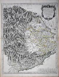
ref. 8636Paris: 1658-65. No binding. Very Good. 550 x 435 mm. early outline colour in good condition. This map of the Piedmont region of Italy was published in Paris by Pierre Mariette. It centres on Turin and extends from Antibe on the French coast to Savona. Nicolas Sanson's 'Les Cartes Generales' was first published in 1658. This map was introduced in 1665 this example is a later state with the imprint altered to 'Chez l'Autheur'. Sanson was France's premier cartographer and helped to lift French work in this area to another level. His atlas is the first full world atlas to be produced in France. This work had been in development for several years as the dates on the various maps attest. Pastoureau Sanson Vb no. 147. 1658-[65] unknown
1657ref. LBW0418dParis chez l'autheur 1657 191 x 253 mm.
1692ref. 001000Paris: Chez H. Jaillot 1692. First edition thus. Map. Good/No jacket as issued. Large double page copper engraved map 23" x 34 1/2". Contains wide margins and a decorative cartouche. Hand-colored boundaries and cartouche. General age-toning with minor browning. Nicely framed in modern rope effected matte gold frame 32" x 42" with gilt bordered white mat and acrylic glaze. A good copy of this scarce map. All text in French Printed just 9 years after the Ottomans besieged Vienna. Extra shipping may apply for foreign orders. Chez H. Jaillot unknown