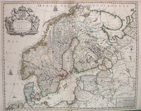
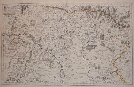
4064 resultados
2024ref. Adhya-9780357976876CENGAGE 2024. PB. New. CENGAGE paperback
1778ref. M4133Paris: Fortin 1778. Very Good. Notes: Map showing Bohemia Silesia Moravia and Lusatia. Size : 420x545 mm 16.5x21.5 Inches Coloring: Hand Colored Category: Maps Europe Poland Lithuania Fortin unknown
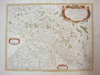
1691ref. 43500Amsterdam, Huguetan & Mortier, 1691. 56x85 cm. Large engraved map of Terra Sancta with original colours in outline. With two large engraved cartouches. Small repairs to lower part of centerfold.
1691ref. 43500Amsterdam Huguetan & Mortier 1691. 56x85 cm. Large engraved map of Terra Sancta with original colours in outline. With two large engraved cartouches. Small repairs to lower part of centerfold. This is Jaillot's large version of Sanson's map of Palaestine divided into tribes. unknown
ref. 69481London: Bloomsbury Circus 2020. Fiction FIRST EDITION with SIGNED bookplate and DOUBLE-SIGNED photo. Octavo 24 x 16cm pp.348; 12 Endmatter. Publisher's cloth hardcovers in photographic dust-jacket priced £14.99. Fine throughout. On February 12th 2020 a launch tour was announced for this novel published on 2nd April. Entitled 'A Theatre for Dreamers - An Evening of Words and Music with Polly Samson and David Gilmour' the event was to feature Polly Samson in conversation with journalist Rosie Boycott readings film and live music including a new song "Yes I Have Ghosts" written by David Gilmour and Polly Samson. Due to Covid 19 the tour was cancelled but ticket holders for the launch event still received the signed book and a double-singed photograph albeit through the post rather than at the live event. London: Bloomsbury Circus, 2020 unknown
1833ref. 29648Paris Imprimerie d'Hippolyte Tilliard 1833 in-4 cartonnage Bradel moderne de papier bordeaux, pièce de titre en long
2007ref. x-0849398185CRC Pr I Llc 2007. Hardcover. New. 1st edition. 403 pages. 10.50x7.50x1.00 inches. CRC Pr I Llc hardcover
2001ref. x-9058231593Harwood Academic Pub 2001. Hardcover. New. 1st edition. 524 pages. 9.75x7.00x1.25 inches. Harwood Academic Pub hardcover
ref. 129971aaf(1734), 20.5x30.5 cm (la carte) carte coloriée et montée sur carton, légèrement bruni, 1 planche. (23x33.4 cm, la feuille).
ref. 126765aafChez l’Autheur, 1660, 41x52 cm, 1 Blatt 43x57 cm. Auf Lwd aufgezogen.
2013ref. BN128508Olms Verlag 2013. 2013. Hardcover. Opferritus und Voropfer der Griechen und Römer Opferritus und Voropfer der Griechen und Römer Samson Eitrem Olms Verlag hardcover
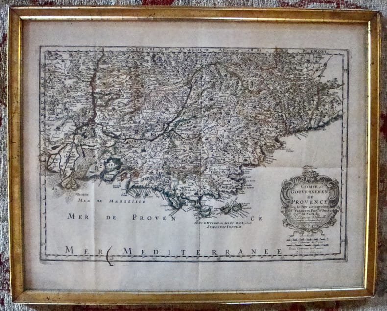
1669ref. 7613À Paris chez l'autheur. Encadré Très bon Paris 1669 1669 44 x 55 cm avec son cadre ancien.
1692ref. 28137Paris 1692. Other. Schönes tadelloses Exemplar. . 803 by 560mm 31 by 22 inches. Hand-Colored Original Copperplate Engraving by Alexis-Hubert Jaillot & N. Sanson depicting Le Cours de la Riviere du Rhein depuis sa Source jusques a son Emboucheure ou sont distingues Tout les Estats et Souverainetes qui sont dessus et aux enuirons. Tire de tous les Memoires les plus Nouveaux Parle Sr. Sanson Geopgraphe Ordinaire du Roy. Published Paris 1692. Sheet: 803 by 560mm 31 by 22 inches. A fine and original hand-colored example of Jaillot's celebrated cartographic work documenting this region of Germany with the precision and decorative artistry characteristic of the 16900s. Alexis-Hubert Jaillot c.1632-1712 was one of the foremost French cartographers of the late 17th and early 18th centuries. Working in Paris he produced magnificent large-format maps of European territories often in collaboration with Nicolas Sanson -- considered the father of French cartography. Jaillot's maps are known for their striking decorative cartouches generous size and fine hand coloring representing the pinnacle of French Baroque cartography.This original copperplate engraving with original hand coloring depicts the region of Le Cours de la Riviere du Rhein depuis sa Source jusques a son Emboucheure ou sont distingues Tout les Estats et Souverainetes qui sont dessus et aux enuirons. Tire de tous les Memoires les plus Nouveaux Parle Sr. Sanson Geopgraphe Ordinaire du Roy published in Paris 1692. The map records the political and geographic boundaries of the region as understood in 1692 offering a fascinating window into the history of German territorial organization. Sheet measures 803 by 560mm 31 by 22 inches. In good condition consistent with its age of over 330 years. Ready to frame. unknown
1996ref. DADAX0811712443Stackpole Books 1996-04-01. First Edition. hardcover. New. 5.75x0.75x8.50. Buy with confidence. Excellent Customer Service & Return policy. Stackpole Books hardcover
2008ref. BN676821Foundation Books 2008. 2008. Interface: v. 2: English for Bcom/BBA/BCA Semester II Thiruvalluvar University Interface: English for Bcom/BBA/BCA Semester II Thiruvalluvar University Interface: v. 2: English for Bcom/BBA/BCA Semester II Thiruvalluvar University Interface: English for Bcom/BBA/BCA Semester II Thiruvalluvar University T Samson Foundation Books unknown
1719ref. E7CG2ENMSWHRParis: Hubert Jaillot 1719. Engraved map on 2 assembled sheets 54.5 x 88 cm. With title in decorated cartouche signed F.C. in upper right corner and scalebars in decorated cartouche in the lower left corner. Coloured in outline. Large map of the Pyrenees a mountain range on the border between France and Spain after Nicolas Sanson 1600-1675. Apparently printed from the original plates differing from the map issued in Mortier's "Jaillot-Atlas".Very good copy slightly browned.l Pastoureau Jail. II C map 166. Hubert Jaillot, unknown
ref. 240645Paris, s.n., 1619 in-8, [4] ff. n. ch. (titre, dédicace, au lecteur), 188 pp., vélin rigide, dos lisse (reliure du XIXe). Quelques mouillures claires "in fine".
1655ref. LBW-4533Paris, P. Mariette, 1655. 419 x 556 mm.
1632ref. LBW-1373[Paris, Melchior Tavernier, 1632-1637]. 412 x 532 mm.
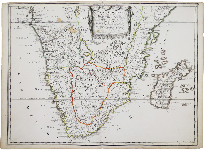
ref. LBW04176Amsterdam, Covens et Mortier, [circa 1710]. 580 x 445 mm.
1670ref. LBW-587Paris chez l'autheur 1670 circa 393 x 552 mm.
1658ref. LBW0394dParis P. Mariette 1658 421 x 525 mm.
ref. 89399Paris, Ebrard 1838/ Fourchet, Libraire-Editeur, 1838 / J.B. Baillière, 1839/Imprimerie de Béthune et Plon, 1839 /Deville-Cavellin, 1837/Chez l'Auteur et J.-B. Baillière, 1838 /Chez Werdet, 1830, 11 plaquettes reliées ensemble dans un volume in-8 de 135x215 mm environ,135-157(1)-100(1)-47+ 2 planches dépliantes-40-99-96-16-12-32-32 pages,+1 planche dépliante, demi basane chocolat, dos lisse avec titres dorés en grande partie effacés, gardes marbrées. Des rousseurs, une coiffe légèrement ébréchée, fente de 3 cm sur un mors, dos épidermé, coupes et coins émoussés, des tampons d'appartenance, ex-libris et date manuscrits sur la première page de faux-titre.
ref. LBW006afParis chez l'autheur 1699 361 x 580 mm.