4065 resultados
1747ref. 20246PARIS SANSON 1747 une carte dépliante sur papier ligné filigrané, reliure bradel cartonné in-octavo (12,6 x 19 cm) recouvert d'un papier velin saumon, titre à l'encre brune sur une etiquette de papier ligné blanc au trois quart centre de la première de couverture, carte ancienne colorée d'époque en vert , rouge et jaune, cartouche non coloré. Format total dépliée : 47 centimètres de haut par 60 centimètres de large (Size: 23 x 18 inches), 1747,
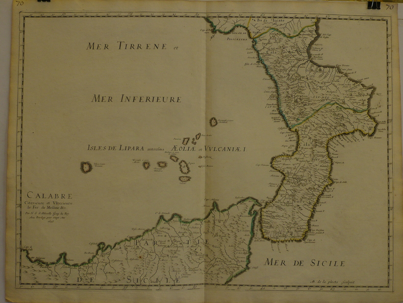
1662ref. 280971662 une carte ancienne gravée sur cuivre (Copper etching) en noir . Format : 46,5 x 58 cm, par Nicolas SANSON carthographe, 1662 [s.n.] Editeur,
1651ref. 284611651 une carte ancienne gravée sur cuivre (Copper etching) en noir . Format : 44 x 58 cm, par Nicolas SANSON carthographe, 1651 [s.n.] Editeur,
1809ref. 017059Paris Jean Md d'Estampes 1809 Une carte repliée, format in-8°, aux frontières rehaussées sous chemise d'époque. Dimensions de la carte une fois dépliée: 75 cm x 53 cm. (chemise défraîchie, quelques rousseurs, brunissure aux plis).
ref. 86020Paris Pliure centrale. Format 43x58 cm marges comprises. Carte fraîche et sans accidents. Carte conservée roulée.
ref. 0415496802.Gpaperback. Good. Access codes and supplements are not guaranteed with used items. May be an ex-library book. paperback

ref. GOR008169876Paperback. Very Good. paperback
2009ref. DADAX0415496802Routledge 2009-05-26. 1. paperback. New. 6.15x1.05x9.22. Buy with confidence. Excellent Customer Service & Return policy. Routledge paperback
2009ref. Sq56930Routledge 2009-05-26. paperback. Very Good. 6x0x9. Clean sturdy and unmarked with mild shelf wear EP Routledge paperback
2009ref. G8-00057Routledge 2009-05-26. paperback. New. 6x1x9. Ship within 24hrs. 100% Satisfaction is Our #1 Goal! Routledge paperback
2009ref. SKU1752293Routledge 2009-05-26. paperback. New. 6x1x9. New Book Ships with Tracking Routledge paperback
ref. 6078884-nnew. unknown
ref. 6328161-nnew. unknown
ref. 6078884like new. unknown
ref. 6328161like new. unknown
2009ref. x-0415477190Routledge 2009. Hardcover. New. 1st edition. 464 pages. 9.45x6.38x1.14 inches. Routledge hardcover
2009ref. x-0415496802Routledge 2009. Paperback. New. 1st edition. 416 pages. 9.13x6.14x0.94 inches. Routledge paperback
ref. 6507215Taylor & Francis Group . Hardback. New. pp. 464 Taylor & Francis Group hardcover
ref. 6507214Taylor & Francis Group . Papeback. New. pp. 464 Taylor & Francis Group unknown
2011ref. 014915Cape Town: Privately published 2011. 1st Edition. Soft cover. As New. 162pp. illus. many colour plates. Unblemished. Privately published paperback
2011ref. 014567Cape Town: Privately published 2011. 1st Edition. Soft cover. Fine. 162pp. illus. many colour plates. Unblemished. Very scarce. Privately published paperback
ref. 18-2885Cologne Germany: Galerie Gisela Capitain 2016. . 8vo. 32 pp. Stiff stapled pictorial wraps. Very good. Color illustrations. Presented on the occasion of Art Basel Unlimited 2016 by Galerie Gisela Capitain Cologne and team. Cologne, Germany: Galerie Gisela Capitain, 2016. paperback
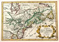
1705ref. M11241Amsterdam c.1705. Very Good. Notes: A reduced version of the most influential 17th century maps of the French and English colonies in North America. The map not only shows details of the Great Lakes but also it is a great source for Indian tribal names and locations. Two names Aouentsiouaeron and Attiouandarons appear here for the first time. Lake Superior and Michigan Lac du Puans are left open-end to the west. It is engraved by Anthony d'Winter. Size : 207x300 mm 8.15x11.81 Inches Coloring: Hand Colored Reference: Burden #575; Kershaw #138. Category: Maps Canada East; Maps North America Great Lakes; unknown
ref. 3239Americas: Amsterdam Francois Halma 1705. Copper engraved map of Canada by N. Sanson from Halma's Algemeene Werelde Beschryving Vol. 3 Black and white; title in Dutch; verso blank; strapwork title cartouche. Attractive small map of Canada and the Great Lakes a reduced version of one of the most influential seventeenth century maps of the French and English colonies in North America. It concentrates on the region of greatest French interest. The entire Great Lakes basin and the St. Lawrence River are shown in great detail. The most important aspect of the map is the first appearance of L. Erie ou du Chat as a recognizable lake on an atlas map. This delineation influenced the cartography of the region for more than 100 years and was not superceded until Delisle's "Carte du Canada" in 1703. The map is also an outstanding source for Indian tribal names and locations. Two names:Aouentsiouaeron and Attiouandarons appear here for the first time. Lake Superior and Michigan Lac du Puans are left open-end to the west. Embellished with a nice title cartouche and engraved by Anthoine d'Winter. This is the third state. Published in Francois Halma's Dutch edition of A. Pherotee de la Croix's Nouvelle Methode Pour Apprendre facilement la Geographie Universelle. Dark impression; dampstaining to lower margin just entering plate; centrefold and 2 further folds to fit in binding. Nicolas Sanson d'Abbeville.1600-67 ' father of the French cartography' and founder of the Sanson firm. Atlas ' Cartes générales de toutes les parties du Monde' 1658-70 and a pocket atlas in 4 parts 1652-1705. Sanson's small maps from A. Phérotée de la Croix's Nouvelle Methode Pour Apprendre Facilement la Geographie Universelle. first published in 1652 and engraved by A. Peyrounin were copied several times by various map publishers. Johann David Zunners made copies of Sanson's maps for his German translation of Die Gantze Erd-Kugel in 1679. Johannes Ribbius and Simon de Vries published copies in 1682 and 1683 with new maps engraved by Antoine d'Winter. The plates were later sold to Francois Halma who used them in 1699 and then again in 1705 with the titles re-engraved in Dutch. François Halma 1653 - 1722 Dutch publisher/printer; dealer/auction house. Cartographer and publisher of maps active in Utrecht Amsterdam Franeker and Leeuwarden. Published 'Description de l'Univers' 1700; 'Algemene Wereldtbescrijving' 1705; 'Corpus Inscriptionum' 1707 and 'Lexicon Philosophicum' 1713. Keoman: Hal 1; Phillips 528; Burden #575; Kershaw #138; McCorkle #683.5. Americas Canada Great Lakes New France Niew Vrankryk Amsterdam Francois Halma 1705 unknown
1648ref. LBW-9691648 409 x 558 mm.