587 résultats
1966réf. 833461966 Paris, NRF, Gallimard, 1942, in 12 broché, 170 pages ; couverture rempliée.
réf. 73-2519Paris: Musée de Montparnasse 2001. 62x39 cm. Color poster. Very Good. Text in French.Provenance: Jean-Louis Debauve 1926-2016 aka Henry Jean-Louis DebauvveMagistrat honoraire spécialiste de la poésie romantique et du Symbolisme. historien et critique littéraire. - Membre de la Société polymathique du Morbihan - Docteur en droit Paris 1961 Paris: Musée de Montparnasse, 2001 unknown
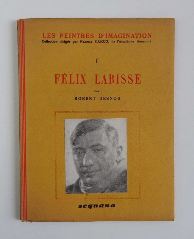
1945réf. 17176Paris: Sequana 1945. Fine. Sequana Paris 1945 12.50 x 16 cm broché First edition. A small lack at head of spine which also has a slight tear at foot three tiny corner lacks to boards. Iconography. Sequana hardcover
1945réf. 66441945 Paris, Sequana, 1945, in 12 carré br., collection "Les peintres de demain", couvert. illustrée d'un portrait photographique de l'auteur.
réf. 5250Editions Sequana, collection "Les peintres d'imagination", Paris, 1945. In-12, broché sous couverture illustrée en noir et blanc, 31 pp. - pl. Félix Labisse, par Robert Desnos - A Félix Labisse, par Paul Eluard - Planches.
réf. 94796-JB007Sequana, 1945
1945réf. 17176Sequana | Paris 1945 | 12.50 x 16 cm | broché
réf. 318Sequana, coll. Les Peintres dImagination, Paris, 1945, (12,3 x 16,2 cm), 64 pages. 31 illustrations en hors-texte, 6 dans le texte, une photo reproduite dans le texte. Édition originale en excellent état.
réf. 15624P., Sequana éditeur, Les Peintres de Demain, 1945, petit in-12, br., 32 reproductions précédées d'une étude critique. Portrait photographique en couverture. Edition originale, avec également un poème de Paul Eluard. C'est le 1er volume de la collection.
réf. 44049Paris, Sequana, 1945. 12 x 16, 32 pp. + 32 planches, broché, état moyen (dos abîmé et recollé).
1989réf. BN319684Haux 1989. 1989. Hardcover. Gegenrichtung: Gedichte Gegenrichtung: Gedichte Robert Desnos Haux hardcover
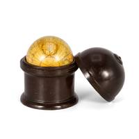
réf. 50602se Fait et vend chez Desnos rue St. Jacques St. Severin. A Paris 1753. Terrestrial globe 3 ¼ inches in diameter 79 mm papier mâché covered with plaster coating and 12 hand-coloured engraved paper gores graduated equator tropics of Cancer and Capricorn ecliptic and Premiere Meridian fixe de l'isle de fer the prime meridian on the island of El Hierro which Louis XIII decreed in 1634; cartouche with decorative border varnished two metal pins in its original turned fruitwood case in fine condition. A stunning French miniature pocket globe from the mid-eighteenth century rich in geographical detail from the latest discoveries. An evocative artefact from the Age of Enlightenment. The globe shows the discoveries made in the Pacific by the early European expeditions prior to those of Cook and the grands voyages of La Perouse Baudin Freycinet and Duperrey. It depicts the newly charted territory of Nouvelle Hollande as it was known from the most recent discoveries: Terre de Wit is marked on the western coastline as well as the partial coastlines of Van Diemen's Land and New Zealand based on the discoveries of the Dutch. The islands of Nouvelle Bretagne and the Isles de Salomon are marked in the Pacific Ocean as well as the Isles Carolines Isles Philippines marking Mindanao and Luzon Formosa Canton and Coree Korea. Louis-Charles Desnos 1725-1805 was one of the most prolific and influential map and globe makers of his age at a time when Paris was the major centre for map production in Europe. He married the widow of Nicolas Hardy the son of Jacques Hardy a globe maker active in the years 1738-1745. Desnos acquired Hardy's inventory and tools and expanded the company further through the acquisition of the inventories of the Jaillot family and of Nicolas de Fer. Desnos would be appointed Royal Globemaker to King Christian VII of Denmark and continued publishing throughout the late eighteenth century. Collections: The only globe by Desnos recorded in Australian public collections is in the National Gallery of Victoria a fine table globe from 1758 acquired from us in 2023. We cannot trace another institutional example of this rare pocket globe Reference: untraced in the standard literature unknown
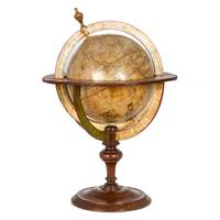
réf. 46572Dressé sur les Relations les plus nouvelles de Mrs. de l'Académie Royale des Sciences par L. C. Desnos et J. B. Nolin Géographe. Se fait et se vends chez Desnos rue St. Jacque St. Severin Quartier de la Place Maubert. Paris 1760 avec privilége du Roy. Dedié au Roy par son trés humble trés obéissant et fidel sujet Desnos et monté par lui. Terrestrial globe 265 mm in diameter; engraved gores and two polar calottes with original hand-colouring over plaster base a few old sealed tears without loss; graduated equator tropics of Cancer and Capricorn ecliptic and Premiere Meridian fixe de l'isle de fer the prime meridian on the island of El Hierro which Louis XIII decreed in 1634; two cartouches - including the dedication to the King sometimes found removed during the French Revolution - decorative vignettes of exotic fauna indigenous peoples and maritime vessels numerous coloured tracks of historical and contemporary explorers including Ferdinand Magellan Jacob Le Maire and Willem Schouten Louis de l'Isle de la Croyere Nicolas de Frondat Aleksei Ilyich Chirikov Jean-Baptiste Charles Bouvet de Lozier and Admiral George Anson; papier-mâché meridian ring with printed declination and elevation engraved calendrical papier-mâché horizon ring with zodiac; edges painted red; supported on four papier-mâché quadrant arcs with the printed names of towns and their longitude and latitudes; turned wooden base and finial; total dimensions 600 x 390 mm; a few discreet signs of old restoration including at the North Pole; warm patina; a fine example of this rare terrestrial globe. A vividly illustrated French table globe from the mid-eighteenth century rich in geographical detail that includes the voyages and discoveries of French English Dutch and Russian explorers. Created during the reign of Louis XV by the partnership of Desnos and Nolin two great mapmakers of the period it is a tremendously evocative artefact from the Age of Enlightenment. The globe shows the discoveries made in the Pacific by the early European expeditions prior to those of Cook and the grands voyages of La Perouse Baudin Freycinet and Duperrey. It depicts the newly charted territory of Nouvelle Hollande as it was known from the most recent discoveries: the western coastline as well as the partial coastlines of Van Diemen's Land and New Zealand are based on the discoveries of the Dutch. Also marked are Dampier's Passage separating New Guinea from New Britain and Terre de S. Esprit Australia del Espíritu Santo the island in the New Hebrides originally mistaken by Quiros for the Australian continent. Louis-Charles Desnos 1725-1805 was one of the most prolific and influential map and globe makers of his age at a time when Paris was the major centre for map production in Europe. He married the widow of Nicolas Hardy the son of Jacques Hardy a globe maker active in the years 1738-1745. Desnos acquired Hardy's inventory and tools and expanded the company further through the acquisition of the inventories of the Jaillot family and of Nicolas de Fer. Desnos would be appointed Royal Globemaker to King Christian VII of Denmark and continued publishing throughout the late eighteenth century. Jean-Baptiste Nolin 1686-1762 continued the established business of his father the famous French cartographer engraver publisher and map dealer Jean-Baptiste Nolin 1657-1708. Collections: The only globe by Desnos recorded in Australian public collections is in the National Gallery of Victoria acquired from us in 2023. Another example of this globe is held in Libraries and Archives Canada. Provenance: Jean R. Perrette his bookplate pasted under the base of the globe. Jean R. Perrette's important collection of rare travel and exploration books was sold through Christie's New York in 2016 Sale 12259 Important Travel Exploration and Cartography April 5 2016. The globe is photographed in the catalogue in situ in Mr. Perrette's Library. Reference: van der Krogt Old globes in The Netherlands 1984 pp. 104-105 unknown
1770réf. 910503CG[Um 1770]. Altkolorierter Kupferstich 28,5 x 31 cm, Blattgröße 29 x 39,5 cm.
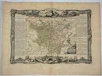
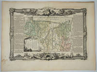
1768réf. 18497Paris: Desnos 1768. Attractive map of this famed wine area of France. Includes Besancon Baumes Bourg Charillon Langres Tonnerre Dijon Auxonne. Long columns of descriptive text along the left and right of the map. Map measure 17 x 15.5" with large border. Attractive "military" motif border original color on the map. Very good condition. Desnos unknown
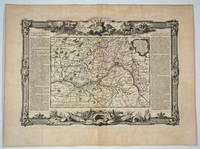
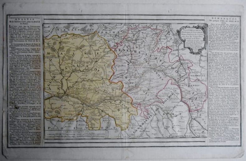
1768réf. 20082Paris: Desnos 1768. Attractive map of this famed Loire River and chateaux area of France. Includes Angers Saumur Tours Blois Orleans and Sancerre. Long columns of descriptive text along the left and right of the map. Map measure 17 x 15.5" with large border. Attractive "military" motif border original color on the map. Very good condition. Desnos unknown
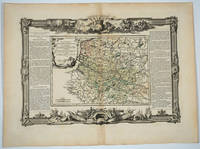
1768réf. 20083Paris: Desnos 1768. Attractive map of this famed area of France. Includes the area from Normandie in the west to the champagne region of Rhiems in the east. Long columns of descriptive text along the left and right of the map. Map measure 17 x 15.5" with large border. Attractive "military" motif border original color on the map. Very good condition. Desnos unknown
1768réf. 18494Paris: Desnos 1768. Attractive map of this area of southern France. Long columns of descriptive text along the left and right of the map. Map measure 17 x 15.5" with large border. Attractive "military" motif border original color on the map. Desnos unknown
1768réf. 18496Paris: Desnos 1768. Attractive map of this area of France. Includes Beaujolais Clermont Riom Aurillac Roanne Montbrison. Long columns of descriptive text along the left and right of the map. Map measure 17 x 15.5" with large border. Attractive "military" motif border original color on the map. Very good condition. Desnos unknown
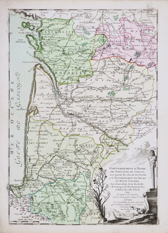
1768réf. 18498Paris: Desnos 1768. Attractive map of this area of France. Includes Bordeaux La Rochelle Bayonne Limoges Angouleme Bourg. Long columns of descriptive text along the left and right of the map. Map measure 17 x 15.5" with large border. Attractive "military" motif border original color on the map. Very good condition. Desnos unknown
réf. 166123GOUVERNEMENS d'Orléanois, de Touraine, du Maine, d'Anjou, et du Saumur; Avec les Généralités d'Orléans et de Tours, Subdivisés en petits pays, avec toutes les Routes et les Distances en Lieues d'usage dans ces Pays, A Paris chez le Sr Desnos Ing Geog Rue St Jacques au Globe Carte de 50x29 , feuille 52x33 coloriée à l'époque .Petits trous de vers marge supérieure , bords légèrement effrangés.Très bon état par ailleurs.
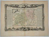
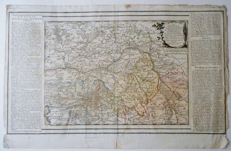
1771réf. 1663091771 GOUVERNEMENS DE POITOU , DE BERRI , DE BOURBONNOIS ET DE NIVERNOIS . Avec les Généralités de Poitiers de Bouges et de Moulins & subdivisés en petits pays, avec toutes les Routes et les Distances en Lieues d'usage dans chaque province A Paris , 1771 , chez le Sr Desnos ,Rue St Jacques au Globe Carte de 50x29 , feuille 52x33 coloriée à l'époque .Texte encadrant la cartePetits trous de vers marge supérieure , bords légèrement effrangés.Très bon état par ailleurs.
1766réf. LBW-4498Paris, Sr. Desnos, 1765 [1766]. 357 x 247 mm.
réf. 77326Paris, Octave Doin 1901, 180x130mm, 918pages, reliure percaline de l’éditeur. Tranches marbrées. du possesseur sur la haut de la page de garde supérieure. Dos insolé. Bel exemplaire.
1914réf. 101547Paris, Doin, 1914, in-8, 294 pp, 9 pl, Demi-chagrin grenat, couvertures conservées, Première édition en librairie de ce mémoire qui fut publié dans l'Encyclopédie française d'urologie que dirigeait l'auteur Ernest Desnos (1852-1925). Nombreuses figures dans le texte et 9 planches en couleurs sous serpentes, dont une dépliante. Envoi signé de l'auteur. Très bon exemplaire. Couverture rigide