Württembergische MetallwarenfabrikAntiquariat.de
6487 risultati
rif. 89938o.J.
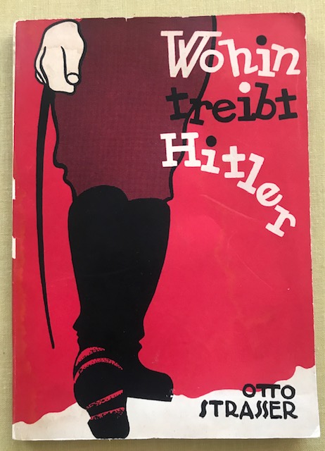
1936rif. 11786ABPrag, Verlag Heinrich Grunov, (1936). 21 x 15 cm. 82 Seiten, 1 Bl. Farbig illustr. Orig.-Broschur., 11786ab|11786ab 2 [2 Warenabbildungen] 1.-3. Tausd. Umschlag minimal angestaubt, Kanten mit winzigen Läsuren, Rückendeckel leicht braunfleckig und etw. gebräunt.
19638vo; Complete in 2 volumes. Warszawa: Wydawn. Ministerstwa Obrony Narodowej & Wojskowy Instytut Historyczny. 25 cm. xix, 755 pages (text), plus accompanying clamshell portfolio volume of 80 folding maps (all indexed), many in color. Massive work, a must for the study of the Nazi invasion of Poland, an its eventual liberation. (Holo2-83-18)
2019Lo strano personaggio di cui parla il libro è Wolf Messing. Paragnosta, sensitivo e veggente, la cui vicenda personale sarebbe rimasta confinata nell’ambito oscuro e banale del mondo dei circhi equestri e degli spettacoli sensazionalistici, se non fosse che, per le sue capacità straordinarie e il suo indubbio talento, venne a contatto con personaggi del calibro di Freud ed Einstein e il suo destino finì per incrociarsi con quello di Hitler e Stalin. “Se Hitler invade la Polonia, di lì a qualche anno morirà”, così disse. Hitler ne venne a conoscenza e mise una taglia di 200.000 marchi sulla testa di Messing per verificare l’attendibilità del veggente e sfruttare i suoi poteri. Messing cercò riparo in Unione Sovietica, dove fu Stalin a reclamarlo, catturato anch’egli dalla sua fama e intrigato dal modo in cui questo piccolo uomo avrebbe potuto aiutare l’Unione Sovietica. Tra le varie predizioni che Messing fece a Stalin, ci fu quella che i carri armati sovietici sarebbero entrati a Berlino nel 1945. Da veggente amato e idolatrato a semplice commediante senza alcun potere mentale, fino alla sua riscossa con l’avvento della televisione, Wolf Messing in questo libro ci racconta in prima persona la sua intricata e incredibile storia, senza svelare, però, il vero enigma dei suoi poteri. Autori: Mikhail Iskov.
1997rif. 244922Wydawnictwo Verlag um, 1997.
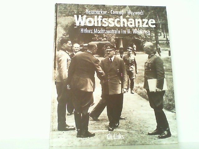
1999rif. 207676Berlin, Ch. Links Verlag, 1999.
1999rif. 214757Berlin, Ch. Links Verlag, 1999.
2012rif. 217417Rhenania Buchversand, 2012.
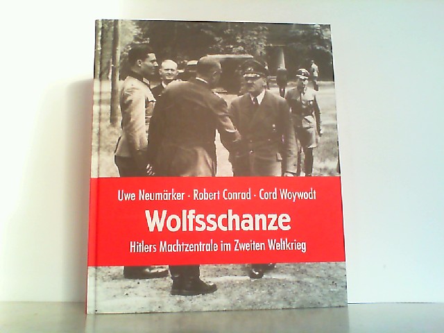
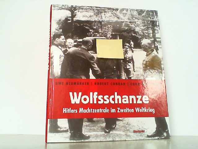
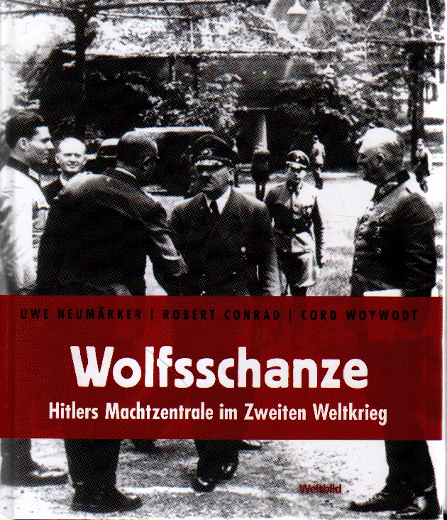
2008rif. 248405Weltbild Verlag, 2008.
2008rif. 214758Weltbild Verlag, 2008.
2008rif. 256826Weltbild Verlag, 2008.
1997rif. 46366Selbstverlag, 1997.
1997rif. 117840Wydawnictwo Verlag, 1997.
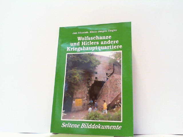
2004rif. 71282Kengraf, Wydawnictwo Verlag, 2004. Mit Signatur des Autors Jan Zduniak auf Vorsatz (u. Datierung v. 09.07.2004), gr. 8° (23 x 16 cm), mit sehr zahlreichen s/w Abbildungen u. 1 farbigen, gefalteten Lageplan, 320 S., kartonierter Einband
1999rif. 125301Berlin: Christoph Links Verlag, 1999. 235 S. ; 25,5 x 21,5 cm ; Pp. ;
2002rif. 16824BBAugsburg, Bechtermünz Verlag 2002. 4° 235 S., Ill., graph. Darst., Kt. Hardcover. Sehr guter Zustand.
1999rif. 32694BBBerlin Links Verlag 1999. 1. Auflage. 4° 235 S., Ill., graph. Darst., Kt. OPappband. Seiten mit geringer randl. Bräunung, ansonsten sauber und gut erhalten. 1
2008rif. 92566Berlin, Christoph Links Verlag, 2008. 238 S. Gr.-8° Groß-Oktav, Hardcover/Pappeinband
1963rif. R33146München und Basel, Ernst Reinhardt, 1963. 8°. 122 SS., 1 Bl. OLn. mit OSchutzumschlag (Umschlag etwas fleckig und beschabt).
1960Original Wraps. 4to. 83, 7, 8 leaves. 29 cm. Report Submitted to the Executive Committee Meeting Geneva, January 24-25, 1960. Annual report for the year 1959, for Europe, Israel, Iran, North Africa, North America, South Africa, and South America. The changing situation for Jewish communities in Algeria and in Tunisia are noted in the introduction. Concludes with 8 graphs. Includes laid-in compliments card from the Central Office of the ORT union. Subjects: Vocational education. Jewish refugees. Reconstruction (1939-1959) Jews. No copies listed on OCLC. Light wear to backstrip, otherwise fresh. Very good condition. (HOLO2-105-44)
1961Original Wraps. 4to. 115, V, 6 pages. 29 cm. Report Submitted to the Executive Committee Meeting Geneva, January 29-30, 1961. Annual report for the year 1960, for Europe, Israel, Iran, North Africa, North America, South Africa, and South America. Concludes with 6 graphs. The rapid shifts in numbers of refugees in European countries is noted, as well as ongoing development in North Africa. 1960 was the year of the 80th anniversary of the founding of ORT, however, only a paragraph in the Central Report details this; a separate jubilee volume was published however. Subjects: Vocational education. Jewish refugees. Reconstruction (1939-1960) Jews. No copies listed on OCLC. Previously rebacked with tape, institutional stamp on wrap and title page, otherwise fresh and clean. Very good + condition. (HOLO2-105-45)
1945rif. 199841945. Official U.S. Army map documenting the military geography of the Obersalzberg Adolf Hitler's Bavarian headquarters and one of the principal leadership centers of the Third Reich during the final weeks of World War II. The map identifies the Berghof SS barracks the residences of Martin Bormann and Hermann Göring roads toward Mount Kehlstein and the Kehlsteinhaus and other features within the restricted Nazi compound. It provides a contemporary record of how American forces mapped and navigated this highly fortified and symbolically important enemy landscape at the moment of its destruction and occupation. Official U.S. Army Map of the Obersalzberg Nazi Compound. U.S. Army 1945. Single-sheet map measuring 8 x 11¾ inches. By the war's end the Obersalzberg had developed into a cordoned-off Nazi leadership enclave centered on Hitler's Berghof with residences barracks administrative facilities and security installations serving senior members of the regime and SS personnel. The map's schematic and somewhat imperfect geography suggests a practical military purpose rather than a postwar survey providing U.S. personnel with navigational guidance through terrain that had not yet been fully documented on the ground. Its 1945 date places the map directly within the destruction and Allied occupation of the Obersalzberg. RAF Bomber Command attacked the compound on April 25 1945 and American forces entered the area in early May discovering and occupying the remains of one of Nazi Germany's most politically charged command centers. Typical fold creases from field handling; upper corners clipped possibly from mounting or pinning; light stain at lower left; edge wear; tear at lower right not affecting the map image. Overall very good. A scarce contemporary U.S. military document recording the physical organization of Hitler's Obersalzberg headquarters and the practical geography confronting American forces as they entered and occupied the Nazi leadership complex in the final days of the war. unknown
1945rif. 199841945. Official U.S. Army map documenting the military geography of the Obersalzberg Adolf Hitler's Bavarian headquarters and one of the principal leadership centers of the Third Reich during the final weeks of World War II. The map identifies the Berghof SS barracks the residences of Martin Bormann and Hermann Göring roads toward Mount Kehlstein and the Kehlsteinhaus and other features within the restricted Nazi compound. It provides a contemporary record of how American forces mapped and navigated this highly fortified and symbolically important enemy landscape at the moment of its destruction and occupation. Official U.S. Army Map of the Obersalzberg Nazi Compound. U.S. Army 1945. Single-sheet map measuring 8 x 11¾ inches. By the war's end the Obersalzberg had developed into a cordoned-off Nazi leadership enclave centered on Hitler's Berghof with residences barracks administrative facilities and security installations serving senior members of the regime and SS personnel. The map's schematic and somewhat imperfect geography suggests a practical military purpose rather than a postwar survey providing U.S. personnel with navigational guidance through terrain that had not yet been fully documented on the ground. Its 1945 date places the map directly within the destruction and Allied occupation of the Obersalzberg. RAF Bomber Command attacked the compound on April 25 1945 and American forces entered the area in early May discovering and occupying the remains of one of Nazi Germany's most politically charged command centers. Typical fold creases from field handling; upper corners clipped possibly from mounting or pinning; light stain at lower left; edge wear; tear at lower right not affecting the map image. Overall very good. A scarce contemporary U.S. military document recording the physical organization of Hitler's Obersalzberg headquarters and the practical geography confronting American forces as they entered and occupied the Nazi leadership complex in the final days of the war. unknown books
19978vo. 96 pages. Illustrated. First edition. Powerful modern photo portraits of Holocaust survivors around the world. SUBJECT (S) : Holocaust, Jewish (1933-1945) personal narratives; Holocaust survivors portraits; Photography. Very good condition. (HOLO2-7-1)
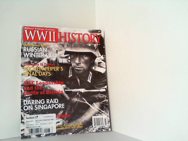
2009rif. 235800Sovereign Media Cmpany, 2009. Broschiert