BERTINI (Gianni), CAVALLO (Luigi).Livre Rare Book
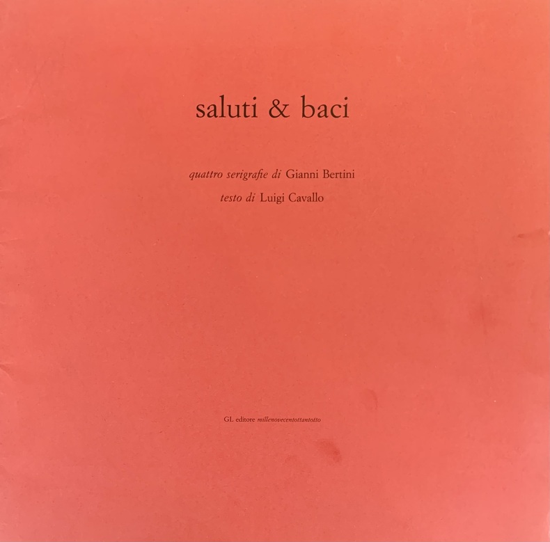
Saluti & Baci, quattro serigrafie, testo di Luigi Cavallo.
ref. awd-1057Milano, GL editore, 1988. In-plano en feuilles, couverture rouge imprimée en noir (24 pp.).
Actualités · Paris, France€450.00
2,027 results
ref. DADAX0854042423New unknown
ref. DADAX0851861946New unknown
ref. DADAX0851862225New unknown
ref. DADAX0851861822New unknown
ref. DADAX0851862020New unknown
ref. SONG0854042199Used: Good unknown
ref. DADAX0851867650New unknown
ref. DADAX0851863906New unknown
ref. DADAX0851861865New unknown
ref. SONG0521859999Used: Good unknown
ref. DADAX1107007658New unknown
ref. awd-1057Milano, GL editore, 1988. In-plano en feuilles, couverture rouge imprimée en noir (24 pp.).
1885ref. AQ35201Washington: Government Printing Office 1885. 438pp. Together with: US TRADE REPORTS. Reports of the commission appointed under an act of congress approved july 7 1884 "to ascertain and report upon the best modes of securing more intimate international and commercial relations between the united states and the several countries of central and south america." Washington. Government Printing Office 1886. First edition. 491pp 1. With two large folding maps to rear. 8vo. Modern burgundy cloth ruled and lettered in gilt to spine. Very lightly rubbed. Very occasional spotting; edges of some leaves browned. The sole edition of several collected reports of the United States government outlining the details of the appointment of a Central and South American Commission in July 1884 with the aim of improving international and commercial relations with the nations of Central and South America. The ventures of the Commission were addressed by President Chester A. Arthur as he delivered to Congress the Annual Message of the President on December 1 1884: 'The Central and South American Commission appointed by authority of the act of July 7 1884 will soon proceed to Mexico. It has been furnished with instructions which will be laid before you. They contain a statement of the general policy of the Government for enlarging its commercial intercourse with American States. The commissioners have been actively preparing for their responsible task by holding conferences in the principal cities with merchants and others interested in Central and South American trade.' . First edition. Government Printing Office hardcover
1857ref. 1004304to 11 ½ x8 ¾ original law calf morocco illustrated 4 134 85102 114 2 iv 64 pp. Some scuffing and wear to covers slight gouge to front joint chipping to edges. Two plates detached one with a chipped corner. Overall very good. Organized by the War department under the direction of Jefferson Davis who was Secretary of War at that time a collection of volumes was produced in the quest for the best route for a railroad to the West. Jefferson Davis wrote part of the introduction to this series and outlines the goals of the project. This report is on routes explored in Northern California and Oregon. Specifically the expedition was to look for a railroad route crossing the Sierra Nevada near the source of the Carson River and to see if it was feasible to connect the Sacramento valley with the Oregon Territory. Most of the color plates in this volume are located in the first three parts of the publication which is focused on topography geology and botanical subjects. This volume includes 23 color lithographs of scenery and botanical subjects 2 hand colored plates of birds and 24 steel engraved plates. Wagner-Camp 264a. Beverly Tucker, unknown
1856ref. 1006214to leather spine and tips with marbled boards 36 Illustrations include 21 tinted/color lithographs one folding diagram two folding maps and a couple of black and white plates 36 14 136 127 175 pp. Binding with some wear at the spine and extremities hinges cracked some pages are a bit loose plates all present but probably not bound in correct order folding maps have a few tears some staining to front endpapers but not into the balance of the text plates and text show some aging foxing and browning but most plates resonably are clean. One of the great sources of information on the west the Pacific Railroad Reports also contains some great illustrations. This installment Vol. III is no exception. Included are some interesting and colorful pictures of the Mojave Indians and their territory. This report contains intelligence on an expedition near the 35th parallel which took the southern route due west to the Pacific Ocean from Fort Smith Kansas that was conducted by Lieutenant A.W. Whipple and assisted by Lieutenant J.C. Ives. Ives would make his own mark on western expansion a few years later in his travels on the Colorado River. The substantial amount of information on various Indain tribes makes this installment an important one. Since many of these volumes are broken for the plates they are getting somewhat scarce. Beverly Tucker, hardcover
1857ref. 1004304to 11 ½ x8 ¾ original law calf morocco illustrated 4 134 85102 114 2 iv 64 pp. Some scuffing and wear to covers slight gouge to front joint chipping to edges. Two plates detached one with a chipped corner. Overall very good. Organized by the War department under the direction of Jefferson Davis who was Secretary of War at that time a collection of volumes was produced in the quest for the best route for a railroad to the West. Jefferson Davis wrote part of the introduction to this series and outlines the goals of the project. This report is on routes explored in Northern California and Oregon. Specifically the expedition was to look for a railroad route crossing the Sierra Nevada near the source of the Carson River and to see if it was feasible to connect the Sacramento valley with the Oregon Territory. Most of the color plates in this volume are located in the first three parts of the publication which is focused on topography geology and botanical subjects. This volume includes 23 color lithographs of scenery and botanical subjects 2 hand colored plates of birds and 24 steel engraved plates. Wagner-Camp 264a. Beverly Tucker, unknown books
1856ref. 1006214to leather spine and tips with marbled boards 36 Illustrations include 21 tinted/color lithographs one folding diagram two folding maps and a couple of black and white plates 36 14 136 127 175 pp. Binding with some wear at the spine and extremities hinges cracked some pages are a bit loose plates all present but probably not bound in correct order folding maps have a few tears some staining to front endpapers but not into the balance of the text plates and text show some aging foxing and browning but most plates resonably are clean. One of the great sources of information on the west the Pacific Railroad Reports also contains some great illustrations. This installment Vol. III is no exception. Included are some interesting and colorful pictures of the Mojave Indians and their territory. This report contains intelligence on an expedition near the 35th parallel which took the southern route due west to the Pacific Ocean from Fort Smith Kansas that was conducted by Lieutenant A.W. Whipple and assisted by Lieutenant J.C. Ives. Ives would make his own mark on western expansion a few years later in his travels on the Colorado River. The substantial amount of information on various Indain tribes makes this installment an important one. Since many of these volumes are broken for the plates they are getting somewhat scarce. Beverly Tucker, hardcover books
1856ref. 1004314to original cloth rebacked with original spine strip laid on new endpapers. Illustrated with 20 of 21 color lithographs several steel engraved charts and shell engravings and three color lithographed folding maps. Table of contents list 20 color plates but some copies seem to have twenty-one. Two of the folding maps/charts have been placed in a rear endpaper pocket; one has a neat repair. A little rubbing to cloth and some minor darkening within. Could be missing one plate. Overall very good and nicely restored. One of the great sources of information on the west the Pacific Railroad Reports also contains some great illustrations. This installment Vol. III is no exception. Included are some interesting and colorful pictures of the Mojave Indians and their territory. This report contains intelligence on an expedition near the 35th parallel which took the southern route due west to the Pacific Ocean from Fort Smith Kansas that was conducted by Lieutenant A.W. Whipple and assisted by Lieutenant J.C. Ives. Ives would make his own mark on western expansion a few years later in his travels on the Colorado River. Wagner-Camp 263 Beverly Tucker hardcover
1856ref. 1004314to original cloth rebacked with original spine strip laid on new endpapers. Illustrated with 20 of 21 color lithographs several steel engraved charts and shell engravings and three color lithographed folding maps. Table of contents list 20 color plates but some copies seem to have twenty-one. Two of the folding maps/charts have been placed in a rear endpaper pocket; one has a neat repair. A little rubbing to cloth and some minor darkening within. Could be missing one plate. Overall very good and nicely restored. One of the great sources of information on the west the Pacific Railroad Reports also contains some great illustrations. This installment Vol. III is no exception. Included are some interesting and colorful pictures of the Mojave Indians and their territory. This report contains intelligence on an expedition near the 35th parallel which took the southern route due west to the Pacific Ocean from Fort Smith Kansas that was conducted by Lieutenant A.W. Whipple and assisted by Lieutenant J.C. Ives. Ives would make his own mark on western expansion a few years later in his travels on the Colorado River. Wagner-Camp 263 Beverly Tucker hardcover books
ref. SONG0521463815Used: Good unknown
ref. DADAX0890435375New unknown
ref. DADAX0521783275New unknown
ref. DADAX1107007631New unknown
2011ref. __184661306Xjordan Publishing Limited 2011. Hardcover. New. 1242 pages. 9.50x6.50x2.25 inches. jordan Publishing Limited hardcover
First edition, xi, [5], 84 pp., light stain to lower outer corner of text, two-tone modern boards, paper title label on spine, uncut.
