Ptolemy; Girolamo RuscelliBiblio.com
345 Ergebnisse
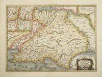
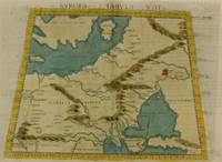
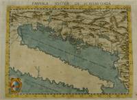
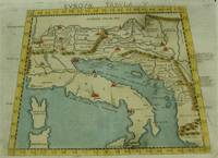
1574Best.-Nr. M7262Venice: Ruscelli c. 1574. Very Good;. Notes: Italian text on verso. An early map of Italy the Adriatic Sea. Croatia Dalmatia Slovenia and Serbia beautifully hand coloured. Girolamo Ruscelli 1518–1566 was an Italian mathematician and cartographer active in Venice during the early 16th century. Ruscelli is best known for his important revision of Ptolemy's Geographia published posthumously in 1574. Size : 186x266 mm 7.32x10.47 Inches Coloring: Hand Colored Category: Maps Europe Italy; Maps Europe Balkans; Ruscelli unknown
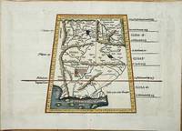
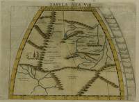
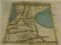
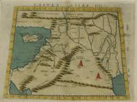
1561Best.-Nr. 7550Carte par Ptolémée. Produite sur cuivre pour la première fois par Ruscelli. Nomenclature latine "Tabula Asiae IIII". Descriptif au dos en italien.Venise, chez Valgrise 1561.Carte trapézoïdale sous chemise cartonnée, mais envoyée sans le support. Carte très primitive et rare. Très bon état. Format in-4° (25x19).
Best.-Nr. 4022Utrecht: Francois Halma. 1578-c.1695. No binding. Very Good. 350 x 400 mm. a fine example in recent wash colour in good condition. From Gerard Mercator's edition of 'Claudii Ptolemaei Tabulae Geographicae Orbis Terrarum'. It was in 1578 that one of the world's greatest cartographers put out an edition of the earliest surviving geographical treatise. This map centres on present day Pakistan with the Indus River prominent. Upper right can be seen the Himalayan Mountains. Koeman Me 5; Nordenskiold 234; Phillips P.L. Atlases 384; Shirley BL T.Ptol-11a & 11k; Van der Krogt P. Atlantes 1:501. Francois Halma. 1578-[c.1695] unknown
1561Best.-Nr. LBW-5048[Venise, 1561]. 184 x 245 mm.
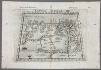
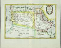
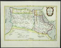
1574Best.-Nr. 005867Venice: Vincenzo Valgrisi 1574. 1574 Edition. Engraving on Copper. Very Good. Double-page copperplate engraved map with letterpress text. Image: 26 x 19 cm. Sheet: 34 x 24 cm. A highly decorative and historically significant 16th-century map of North and Northeast Africa derived from Ptolemy’s 2nd-century geography. The map was published in the 1574 edition of Geographia edited by Girolamo Ruscelli and printed in Venice by Vincenzo Valgrisi. This is “Tabula Africae III” the third of Ptolemy’s Africa maps focusing on: Libya Egypt Cyrenaica Thebes and parts of Arabia Prominent classical sites including: Alexandria Cyrene Memphis Thebes Ptolemais Ammonis templum Mountain chains rivers and desert regions in stylized Renaissance form The map features Latin titling and classical toponyms while the verso contains the original Italian commentary explaining the geography cities and coordinates. CONDITION: Very good. Strong impression with clear platemark. Central fold as issued. Mild age toning and minor wear to margins. Backed at top center. Verso complete with full letterpress text Tavola Terza d’Africa Antica. Note: only this 1574 edition contains Vincenzo Valgrisi's elaborate printer's emblem showing: A lion leaping or attacking a smaller animal often interpreted as a fox and a large bird resembling an ostrich standing nearby. Vincenzo Valgrisi unknown
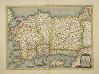
Best.-Nr. 4025Utrecht: Francois Halma. 1578-c.1695. No binding. Very Good. 340 x 460 mm. a fine example in recent wash colour in good condition. From Gerard Mercator's edition of 'Claudii Ptolemaei Tabulae Geographicae Orbis Terrarum'. It was in 1578 that one of the world's greatest cartographers put out an edition of the earliest surviving geographical treatise. This map shows Ptolemaic Asia Minor or modern day Turkey. A prominent Cyprus is found as are the Greek Islands of Lesbos and Rhodes. Koeman Me 5; Nordenskiold 234; Phillips P.L. Atlases 384; Shirley BL T.Ptol-11a & 11k; Van der Krogt P. Atlantes 1:501. Francois Halma. 1578-[c.1695] unknown
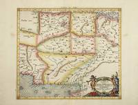
Best.-Nr. 4023Utrecht: Francois Halma. 1578-c.1695. No binding. Very Good. 350 x 470 mm. a fine example in modern wash colour. From Gerard Mercator's edition of 'Claudii Ptolemaei Tabulae Geographicae Orbis Terrarum'. It was in 1578 that one of the world's greatest cartographers put out an edition of the earliest surviving geographical treatise. This map centres on India although there is not much of a peninsula. Its presence can be determined by the Indus and Ganges Rivers on the left and right respectively. Sri Lanka can be seen at the bottom of the map. Koeman Me 5; Nordenskiold 234; Phillips P.L. Atlases 384; Shirley BL T.Ptol-11a & 11k; Van der Krogt P. Atlantes 1:501. Francois Halma. 1578-[c.1695] unknown
Best.-Nr. 6101Amsterdam: R & J Wetstenii & G Smith. 1578-1730. No binding. Very Good. 350 x 470 mm. a fine example in recent wash colour. Gerard Mercator's edition of Ptolemy's 'Geography' is highly acclaimed; he spent much of his life studying the work and even engraved the plates himself. The 'Geographia' is the earliest surviving geographical treatise. Much of Mercator's efforts were spent projecting Ptolemy's geography onto the projection which bears his name. Mercator is one of the world's greatest cartographers and the 'Claudii Ptolemaei Tabulae Geographicae Orbis Terrarum' was first published in 1578. This map centres on India although there is not much of a peninsula. Its presence can be determined by the Indus and Ganges Rivers on the left and right respectively. Sri Lanka can be seen at the bottom of the map. It is in the third state with the addition of a latitude and longitude grid illustrating the projection. Not in Gole; Koeman Me 5; Nordenskiold 234; Phillips P.L. Atlases 384; Shirley BL T.Ptol-11a & 11k; Van der Krogt P. Atlantes 1:501. R & J Wetstenii & G Smith. 1578-[1730] unknown
Best.-Nr. 6092Amsterdam: R & J Wetstenii & G Smith. 1578-1730. No binding. Very Good. 310 x 460 mm. a fine example in recent wash colour. Gerard Mercator's edition of Ptolemy's 'Geography' is highly acclaimed; he spent much of his life studying the work and even engraved the plates himself. The 'Geographia' is the earliest surviving geographical treatise. Much of Mercator's efforts were spent projecting Ptolemy's geography onto the projection which bears his name. Mercator is one of the world's greatest cartographers and the 'Claudii Ptolemaei Tabulae Geographicae Orbis Terrarum' was first published in 1578. This map shows the northern half of Africa with the equator displayed prominently is in the third state with the addition of a latitude and longitude grid illustrating the projection. The source of the Nile River is also highlighted. Koeman Me 5; Nordenskiold 234; Phillips P.L. Atlases 384; Shirley BL T.Ptol-11a & 11k; Van der Krogt P. Atlantes 1:501. R & J Wetstenii & G Smith. 1578-[1730] unknown
Best.-Nr. 8022Lyon: Melchoir and Gaspar Treschel. 1522-35. No binding. Good. 315 x 450 mm. with recent wash colour two minor stitch holes due to binding both repaired otherwise in good condition. An attractive map of Ptolemaic Pakistan and Afghanistan. It is projected in a trapezoidal style with extensive rivers and mountain ranges. With Latin text on the verso. Laurent Fries produced the woodblocks for this 1535 edition of Ptolemy's Geography. By now Fries whose maps were first issued in the 1522 edition had died. The wood blocks found their way into the possession of Melchoir and Gaspar Treschel. For this edition published in Lyon the brothers asked Michael Servetus to re-edit the text. Karrow 1993 28.24; Nordenskiold 1979 209; Pastoureau 1984 Ptolemee E 1535; Shirley 2004 T.Ptol 7d. Melchoir and Gaspar Treschel. 1522-[35] unknown
1574Best.-Nr. M7264Venice: Ruscelli c. 1574. Very Good;. Notes: Italian text on verso. Girolamo Ruscelli 1518–1566 was an Italian mathematician and cartographer active in Venice during the early 16th century. Ruscelli is best known for his important revision of Ptolemy's Geographia published posthumously in 1574. Size : 190x265 mm 7.48x10.43 Inches Coloring: Hand Colored Category: Maps Russia; Maps Europe Ukraine; Maps Europe Poland Lithuania; Ruscelli unknown
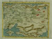
1574Best.-Nr. M7269Venice: Ruscelli c. 1574. Very Good;. Notes: An early and fine map of European Russia beautifully hand coloured. Italian text on verso. Girolamo Ruscelli 1518–1566 was an Italian mathematician and cartographer active in Venice during the early 16th century. Ruscelli is best known for his important revision of Ptolemy's Geographia published posthumously in 1574. Size : 190x260 mm 7.48x10.24 Inches Coloring: Hand Colored Category: Maps Europe Ukraine; Maps Russia; Ruscelli unknown
1574Best.-Nr. M7280Venice: Ruscelli c. 1574. Very Good;. Notes: Italian text on verso. Girolamo Ruscelli 1518–1566 was an Italian mathematician and cartographer active in Venice during the early 16th century. Ruscelli is best known for his important revision of Ptolemy's Geographia published posthumously in 1574. Size : 189x260 mm 7.44x10.24 Inches Coloring: Hand Colored Category: Maps Asia Near East Turkey; Ruscelli unknown
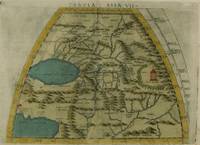
1574Best.-Nr. M7277Venice: Ruscelli c. 1574. Very Good;. Notes: Italian text on verso. Girolamo Ruscelli 1518–1566 was an Italian mathematician and cartographer active in Venice during the early 16th century. Ruscelli is best known for his important revision of Ptolemy's Geographia published posthumously in 1574. Size : 190x260 mm 7.48x10.24 Inches Coloring: Hand Colored Category: Maps Asia Central Tibet & Himalayas; Maps Asia Far East China; Ruscelli unknown
1574Best.-Nr. M7273Venice: Ruscelli c. 1574. Very Good;. Notes: Italian text on verso. Girolamo Ruscelli 1518–1566 was an Italian mathematician and cartographer active in Venice during the early 16th century. Ruscelli is best known for his important revision of Ptolemy's Geographia published posthumously in 1574. Size : 192x264 mm 7.56x10.39 Inches Coloring: Hand Colored Category: Maps Asia Middle East Caucasus.; Ruscelli unknown
1574Best.-Nr. M7276Venice: Ruscelli c. 1574. Very Good;. Notes: Italian text on verso. Girolamo Ruscelli 1518–1566 was an Italian mathematician and cartographer active in Venice during the early 16th century. Ruscelli is best known for his important revision of Ptolemy's Geographia published posthumously in 1574. Size : 191x266 mm 7.52x10.47 Inches Coloring: Hand Colored Category: Maps Asia Central Turkmenistan Uzbekistan Tajikistan Kyrgyzstan Kazakhstan; Maps Asia Central Afghanistan Pakistan; Maps Asia Central India & Sri Lanka / Ceylon; Ruscelli unknown
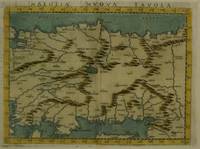
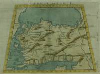
1574Best.-Nr. M7271Venice: Ruscelli c. 1574. Very Good;. Notes: Italian text on verso. Girolamo Ruscelli 1518–1566 was an Italian mathematician and cartographer active in Venice during the early 16th century. Ruscelli is best known for his important revision of Ptolemy's Geographia published posthumously in 1574. Size : 190x266 mm 7.48x10.47 Inches Coloring: Hand Colored Category: Maps Asia Near East Turkey; Ruscelli unknown
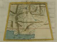
1574Best.-Nr. M7278Venice: Ruscelli c. 1574. Very Good;. Notes: Italian text on verso. Girolamo Ruscelli 1518–1566 was an Italian mathematician and cartographer active in Venice during the early 16th century. Ruscelli is best known for his important revision of Ptolemy's Geographia published posthumously in 1574. Size : 188x264 mm 7.40x10.39 Inches Coloring: Hand Colored Category: Maps Asia Central Afghanistan Pakistan; Ruscelli unknown
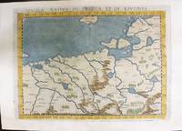
1574Best.-Nr. M11141Venice: Ruscelli c. 1574. Very Good. Notes: Italian text on verso. Map of Prussia Poland Lithuania part of of Estonia and the Baltic Region. Girolamo Ruscelli 1518–1566 was an Italian mathematician and cartographer active in Venice during the early 16th century. Ruscelli is best known for his important revision of Ptolemy's Geographia published posthumously in 1574. Size : 190x263 mm 7.48x10.35 Inches Coloring: Hand Colored Category: Maps Europe Poland Lithuania; Ruscelli unknown
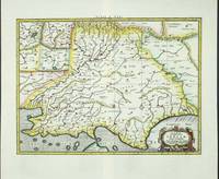
1574Best.-Nr. M7268Venice: Ruscelli c. 1574. Very Good;. Notes: Italian text on verso. Girolamo Ruscelli 1518–1566 was an Italian mathematician and cartographer active in Venice during the early 16th century. Ruscelli is best known for his important revision of Ptolemy's Geographia published posthumously in 1574. Size : 190x261 mm 7.48x10.28 Inches Coloring: Hand Colored Category: Maps Europe Balkans; Ruscelli unknown
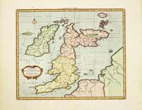
Best.-Nr. 10520Amsterdam: R & J Wetstenii & G Smith. 1578-1730. No binding. Very Good. 340 x 400 mm. recent wash colour in good condition. Gerard Mercator's edition of Ptolemy's 'Geography' is highly acclaimed; he spent much of his life studying the work and even engraved the plates himself. The 'Geographia' is the earliest surviving geographical treatise. Much of Mercator's efforts were spent projecting Ptolemy's geography onto the projection which bears his name. Mercator 1512-94 is one of the world's greatest cartographers and the 'Claudii Ptolemaei Tabulae Geographicae Orbis Terrarum' was first published in 1578. This map of the British Isles is in the third state with the addition of a latitude and longitude grid illustrating the projection. Provenance: Doreen Green 1999. Koeman Me 5; Nordenskiold 234; Phillips P.L. Atlases 384; Shirley BI 123; Shirley BL T.Ptol-11a & 11k; Van der Krogt P. Atlantes 0901:1.2. R & J Wetstenii & G Smith. 1578-[1730] unknown
1617Best.-Nr. LBW-1937[Arnhem, Joannes Jansson, 1617]. 132 x 172 mm.
1574Best.-Nr. M7274Venice: Ruscelli c. 1574. Very Good;. Notes: Italian text on verso. Girolamo Ruscelli 1518–1566 was an Italian mathematician and cartographer active in Venice during the early 16th century. Ruscelli is best known for his important revision of Ptolemy's Geographia published posthumously in 1574. Size : 192x266 mm 7.56x10.47 Inches Coloring: Hand Colored Category: Maps Asia Middle East Holy Land & Palestine;Maps Asia Middle East Jordan Syria Lebanon;Maps Asia Near East Turkey; Ruscelli unknown
Best.-Nr. 5206Utrecht: Francois Halma. 1578-c.1695. No binding. Very Good. 310 x 470 mm. in fine modern wash colour and in good condition. From Gerard Mercator's edition of 'Claudii Ptolemaei Tabulae Geographicae Orbis Terrarum'. It was in 1578 that one of the world's greatest cartographers put out an edition of the earliest surviving geographical treatise. This map shows the northern half of Africa with the equator displayed prominently. The source of the Nile River is also highlighted with a mountain range feeding two large lakes. An interesting feature is the Niger River in 'Libya' which is prominent across the map with its source in numerous lakes. During its course to the sea it disappears under a mountain range arising the other side. Although Mercator is most renowned today for the projection he popularised and for first using the term 'atlas' for a collection of maps he devoted much of his life to his Ptolemaic maps. The maps were beautifully engraved as nearly as possible to their original form and are the most decorative of Ptolemaic maps. Koeman Me 5; Nordenskiold 234; Phillips P.L. Atlases 384; Shirley BL T.Ptol-11a & 11k; Van der Krogt P. Atlantes 1:501. Francois Halma. 1578-[c.1695] unknown
1985Best.-Nr. 204502Franklin Center Pennsylvania: Franklin Library 1985. First Edition; First Printing. Hardcover. Near Fine Leather Bound. Printed on archival paper with gilded edges. The endsheets are of moire fabric with a silk ribbon page marker. Smyth sewing and concealed muslin joints to ensure the highest quality binding. This book is in full leather with hubbed spines.; Great Books of the Western World. Franklin Library hardcover