MareMagnum
MAGINI (Giovanni Antonio) & PTOLEMEE (Claude).Livre Rare Book
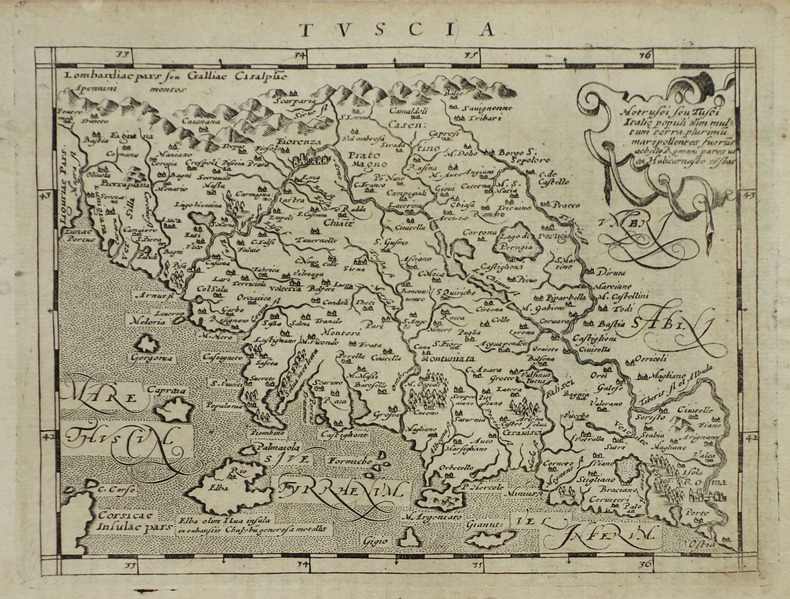
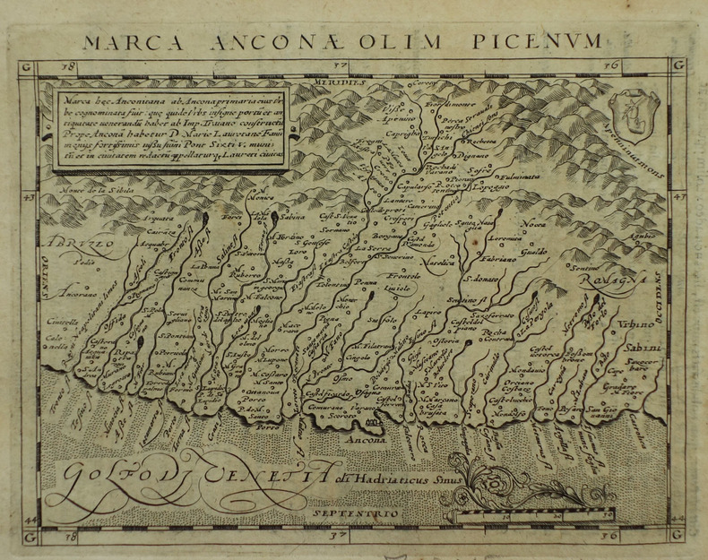
[ANCONE] Marca Anconae olim Picenum.
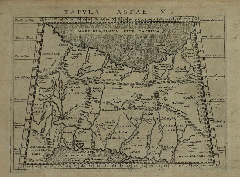
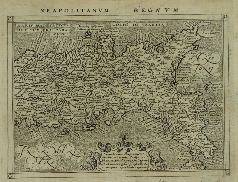
1617réf. LBW-1926[Arnhem, Joannes Jansson, 1617]. 130 x 168 mm.
Librairie Le Bail · Paris, France150,00 €
346 résultats
192450 p. Petite déchirure à la couverture, coins de la couverture pliés. Inv. 25385
1617réf. LBW-1926[Arnhem, Joannes Jansson, 1617]. 130 x 168 mm.
1617réf. LBW-1923[Arnhem, Joannes Jansson, 1617]. 128 x 170 mm.
1617réf. LBW-1938[Arnhem, Joannes Jansson, 1617]. 128 x 168 mm.
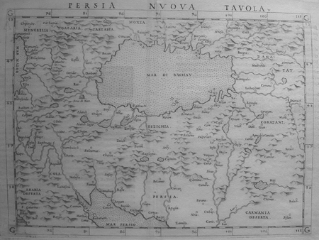
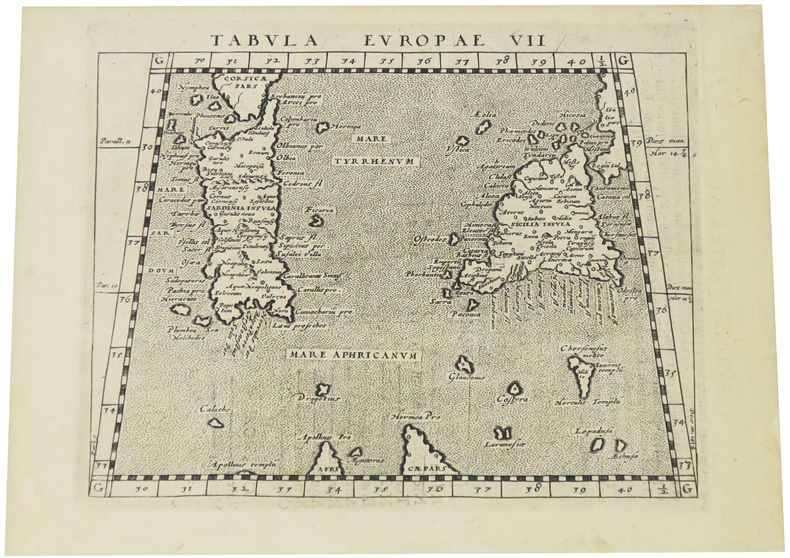
1561réf. LBW0251d[Venise, 1561]. 183 x 246 mm.
1561réf. LBW02516[Venise, 1561]. 185 x 247 mm.
1617réf. LBW-1918[Arnhem, Joannes Jansson, 1617]. 130 x 168 mm.
1820réf. 69190Paris, Merlin, 1820, , 3 parties en un volume, [6]-32-224-VIII-[3] pages, [2] ff. pour le titre pour les 2nde et 3e parties, 1 portrait, 2 pl. depl. gravées sur cuivre, 2 tableaux depl. ht, demi-basane maroquinée verte de l'époque, dos lisse orné de fers romantiques, tranches citron mouchetées, Plusieurs figures gravées dans le texte, dont une vignette au titre figurant le Qasr, deux vues du Mujelibè, des tablettes cunéiformes, un plan des ruines de Babylone, etc... Rare édition originale de la première traduction française de ces traités astronomiques de Ptolémée et de Proclus, donnée par le traducteur français de l'Almageste Nicolas Halma (1755-1828). Ce dernier signe deux dissertations figurant parmi les pièces liminaires : Dissertation III sur les Macédoniens et Dissertation IV sur le calendrier judaïque. La seconde partie de l'ouvrage contient les traités grecs, sur deux colonnes, le texte grec en regard de la traduction française ; et la troisième partie comprend les Mémoires traduits de l'allemand de Ludwig Ideler, sur les connaissances astronomiques des Chaldéens, sur le cycle de Méton et sur l'ère persique. Ouvrage dédicacé au duc de Bordeaux (Henri d'Artois, 1820-1883) ; en regard de la dédicace figure le portrait en médaillon de son père, le duc de Berry, assassiné peu de temps avant sa naissance, avec le vers tiré d'Horace "multis ille bonis flebilis occidit" apposé, à l'origine, sur les médailles frappées en 1793 en Angleterre en hommage à Louis XVI ("Il est tombé pleuré de beaucoup de gens de bien"). Selon Quérard, cet ouvrage, tout comme les diverses traductions de Ptolémée par Halma, aurait été tiré à 300 exemplaires, dont 200 auraient été pris par le gouvernement. De la bibliothèque Charles-René de Contamine, avec son ex-libris armorié au contreplat. Légères rousseurs éparses ; néanmoins, bel exemplaire. Quérard VII, p. 369 Couverture rigide
1617réf. LBW-1934[Arnhem, Joannes Jansson, 1617]. 130 x 169 mm.
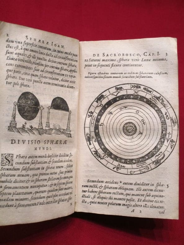
1617réf. 118060lyon Antoine Pillehotte 1617 in-8 parchemin de réemploi Lugduni (Lyon), Antonii (Antoine) Pillehotte, 1617, 1 volume in-8 de 100x165 mm environ, 192 pages, complet des deux tableaux et, fait rare, contient la planche in-fine intacte pour constituer les volvelles. Reliure, par laçage, en parchemin de réemploi, dos muet, gardes blanches. Quelques taches sur le parchemin et traces sur les tranches, une des lanières de laçage est rompue (mors interne fendu), ex libris manusrit partiellement raturé sur garde volante en fin de volume, intérieur frais, bon état général, bel exemplaire.
1948réf. 310LE CAIRE. IMPRIMERIE DE L'IFAO. 1948. IN-8 BROCHE DE VI + 84 PAGES, COUVERTURE GRISE, TITRE IMPRIME EN ROUGE ET NOIR. ILLUSTRE DE 14 FIGURES ET DE 16 PLANCHES HORS-TEXTE DONT 2 REPLIEES. (SUPPLEMENT AUX ANNALES DU SERVICE DES ANTIQUITES DE L' EGYPTE. CAHIER NUMERO 12). BEL EXEMPLAIRE.
1974Minor discoloration to rear board (spotting). 1 lower corner lightly bumped. Scholar's bookplate to inner cover (G. P. Goold). ; Contents: Almagest through the Ages; Physics and Philosophy in the Almagest; Ptolemy as a Mathematician; Spherical Astronomy in the Almagest; Motion of the Sun; Theories of the Moon; Parallaxes and Eclipses; Fixed Stars; Superior Planets; Inferior Planets; Retrograde Motions and Maximum Elongations; Latitudes and visibility Periods; Epilogue: The other Ptolemy, Dated Observations, Numerical Parameters. ; Acta Historica Scientiarum Naturalium Et Medicinalium 30; 1.25 x 10.25 x 7.25 Inches; 455 pages
réf. 1241697140.Gpaperback. Good. Access codes and supplements are not guaranteed with used items. May be an ex-library book. paperback
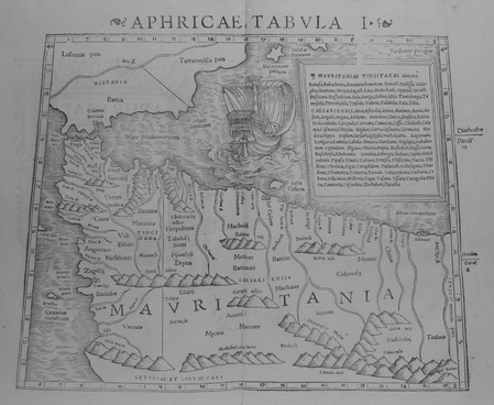
1552réf. LBW01b4b[Bâle, 1552]. 268 x 333 mm.
réf. 6091Amsterdam: R & J Wetstenii & G Smith. 1578-1730. No binding. Very Good. 340 x 480 mm. a fine example in recent wash colour. Gerard Mercator's edition of Ptolemy's 'Geography' is highly acclaimed; he spent much of his life studying the work and even engraved the plates himself. The 'Geographia' is the earliest surviving geographical treatise. Much of Mercator's efforts were spent projecting Ptolemy's geography onto the projection which bears his name. Mercator is one of the world's greatest cartographers and the 'Claudii Ptolemaei Tabulae Geographicae Orbis Terrarum' was first published in 1578. This map of the Lower Nile River in Egypt is in the third state with the addition of a latitude and longitude grid illustrating the projection. Koeman Me 5; Nordenskiold 234; Phillips P.L. Atlases 384; Shirley BL T.Ptol-11a & 11k; Van der Krogt P. Atlantes 0913A:1.2. R & J Wetstenii & G Smith. 1578-[1730] unknown
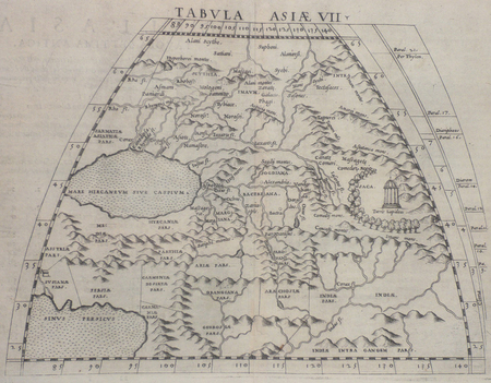
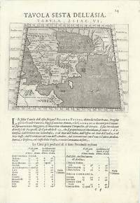
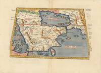
réf. 63967Venice 1596. Original engraved map of the Arabian Peninsula 12.5 x 17.5 cm on single leaf 29 x 20.5 cm with Italian text beneath. Verso printed with a map of Central Asia 'Tavola Settima Dell'Asia. Tabula Asiae VII' 12.5 x 17.5 cm. A very good example. This early map engraving is from Claudius Ptolemaeus Ptolemy and Giovanni Antonio Magini's Geographiae universae tum veteris tum novae absolutissimum opus duobus voluminibus distinctum. The work was published in Venice by S. Galignani de Karera's Heirs in 1596. This is the first Magini edition. "The copperplate maps prepared for this edition and engraved by Girolamo Porro are on a smaller scale and somewhat better executed than those in the editions of 1562" Phillips. [Venice, 1596]. unknown
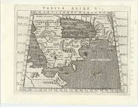
réf. 62444Venice 1596. FIRST EDITION THUS. Original engraved map of the Arabian Peninsula 16 x 21.5 cm. overall with Latin text to verso. Embellished with sea monster to lower right corner. An excellent copy. This early map engraving is from Claudius Ptolemaeus Ptolemy and Giovanni Antonio Magini's Geographiae universae tum veteris tum novae absolutissimum opus duobus voluminibus distinctum. The work was published in Venice by S. Galignani de Karera's Heirs in 1596. This is the first Magini edition. "The copperplate maps prepared for this edition and engraved by Girolamo Porro are on a smaller scale and somewhat better executed than those in the editions of 1562" Phillips. [Venice, 1596]. unknown
réf. 62979Vienna 1525-1541. Original woodcut Ptolemaic map of the Arabian Peninsula 40 x 55.5 cm with later hand-colouring; Latin title text and additional woodcut decorations to verso. Some minimal discrete paper repairs to upper portion of centrefold generally a very good copy. Early Ptolemaic woodblock map of the Arabian Peninsula here called Arabia Felix. The map is presented on a trapezoidal projection with parallels and meridians forerunners of lines of longitude and latitude enumerated in the borders. The map shows the Arabian Peninsula wider in the southeast and shows a somewhat distorted shape for the Arabian Gulf. Details include topography the major towns while the rivers and many islands are imaginary. This map is based on the slightly larger map from 1513 published in "Ptolemy's Geographia". The atlas was reprinted in 1520 1522 1525 1535 and 1541. This wood block was cut in 1525 for the publisher J.Grünninger. This being the variant of 1541 now without the banner title and wood cut ornaments on the verso. [Vienna, 1525-1541]. unknown
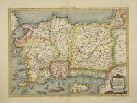
réf. 4025Utrecht: Francois Halma. 1578-c.1695. No binding. Very Good. 340 x 460 mm. a fine example in recent wash colour in good condition. From Gerard Mercator's edition of 'Claudii Ptolemaei Tabulae Geographicae Orbis Terrarum'. It was in 1578 that one of the world's greatest cartographers put out an edition of the earliest surviving geographical treatise. This map shows Ptolemaic Asia Minor or modern day Turkey. A prominent Cyprus is found as are the Greek Islands of Lesbos and Rhodes. Koeman Me 5; Nordenskiold 234; Phillips P.L. Atlases 384; Shirley BL T.Ptol-11a & 11k; Van der Krogt P. Atlantes 1:501. Francois Halma. 1578-[c.1695] unknown
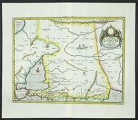
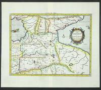
réf. 6094Amsterdam: R & J Wetstenii & G Smith. 1578-1730. No binding. Very Good. 360 x 460 mm. a fine example in recent wash colour. Gerard Mercator's edition of Ptolemy's 'Geography' is highly acclaimed; he spent much of his life studying the work and even engraved the plates himself. The 'Geographia' is the earliest surviving geographical treatise. Much of Mercator's efforts were spent projecting Ptolemy's geography onto the projection which bears his name. Mercator is one of the world's greatest cartographers and the 'Claudii Ptolemaei Tabulae Geographicae Orbis Terrarum' was first published in 1578. This map focuses on the Caucasus and modern day Russia is in the third state with the addition of a latitude and longitude grid illustrating the projection. It displays the Crimean Peninsula lower left and the Caspian Sea lower right. Koeman Me 5; Nordenskiold 234; Phillips P.L. Atlases 384; Shirley BL T.Ptol-11a & 11k; Van der Krogt P. Atlantes 1:501. R & J Wetstenii & G Smith. 1578-[1730] unknown
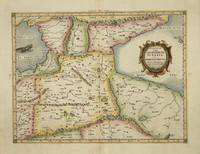
réf. 4017Utrecht: Francois Halma. 1578-c.1695. No binding. Very Good. 350 x 460 mm. a fine example in modern wash colour. From Gerard Mercator's edition of 'Claudii Ptolemaei Tabulae Geographicae Orbis Terrarum'. It was in 1578 that one of the world's greatest cartographers put out an edition of the earliest surviving geographical treatise. This map is centred on Armenia and shows the Black Sea and Caspian Sea to the west and east respectively. Koeman Me 5; Nordenskiold 234; Phillips P.L. Atlases 384; Shirley BL T.Ptol-11a & 11k; Van der Krogt P. Atlantes 1:501. Francois Halma. 1578-[c.1695] unknown
réf. 6095Amsterdam: R & J Wetstenii & G Smith. 1578-1730. No binding. Very Good. 350 x 460 mm. a fine example in recent wash colour. Gerard Mercator's edition of Ptolemy's 'Geography' is highly acclaimed; he spent much of his life studying the work and even engraved the plates himself. The 'Geographia' is the earliest surviving geographical treatise. Much of Mercator's efforts were spent projecting Ptolemy's geography onto the projection which bears his name. Mercator is one of the world's greatest cartographers and the 'Claudii Ptolemaei Tabulae Geographicae Orbis Terrarum' was first published in 1578. This map is centred on Armenia and shows the Black Sea and Caspian Sea to the west and east respectively. It is in the third state with the addition of a latitude and longitude grid illustrating the projection. Koeman Me 5; Nordenskiold 234; Phillips P.L. Atlases 384; Shirley BL T.Ptol-11a & 11k; Van der Krogt P. Atlantes 1:501. R & J Wetstenii & G Smith. 1578-[1730] unknown
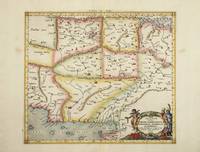
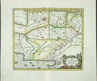
réf. 4022Utrecht: Francois Halma. 1578-c.1695. No binding. Very Good. 350 x 400 mm. a fine example in recent wash colour in good condition. From Gerard Mercator's edition of 'Claudii Ptolemaei Tabulae Geographicae Orbis Terrarum'. It was in 1578 that one of the world's greatest cartographers put out an edition of the earliest surviving geographical treatise. This map centres on present day Pakistan with the Indus River prominent. Upper right can be seen the Himalayan Mountains. Koeman Me 5; Nordenskiold 234; Phillips P.L. Atlases 384; Shirley BL T.Ptol-11a & 11k; Van der Krogt P. Atlantes 1:501. Francois Halma. 1578-[c.1695] unknown
réf. 6100Amsterdam: R & J Wetstenii & G Smith. 1578-1730. No binding. Very Good. 350 x 400 mm. a fine example in recent wash colour. Gerard Mercator's edition of Ptolemy's 'Geography' is highly acclaimed; he spent much of his life studying the work and even engraved the plates himself. The 'Geographia' is the earliest surviving geographical treatise. Much of Mercator's efforts were spent projecting Ptolemy's geography onto the projection which bears his name. Mercator is one of the world's greatest cartographers and the 'Claudii Ptolemaei Tabulae Geographicae Orbis Terrarum' was first published in 1578. This map centres on present day Pakistan with the Indus River prominent. Upper right can be seen the Himalayan Mountains. It is in the third state with the addition of a latitude and longitude grid illustrating the projection. Koeman Me 5; Nordenskiold 234; Phillips P.L. Atlases 384; Shirley BL T.Ptol-11a & 11k; Van der Krogt P. Atlantes 1:501. R & J Wetstenii & G Smith. 1578-[1730] unknown
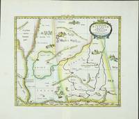
réf. 6099Amsterdam: R & J Wetstenii & G Smith. 1578-1730. No binding. Very Good. 350 x 410 mm. a fine example in recent wash colour. Gerard Mercator's edition of Ptolemy's 'Geography' is highly acclaimed; he spent much of his life studying the work and even engraved the plates himself. The 'Geographia' is the earliest surviving geographical treatise. Much of Mercator's efforts were spent projecting Ptolemy's geography onto the projection which bears his name. Mercator is one of the world's greatest cartographers and the 'Claudii Ptolemaei Tabulae Geographicae Orbis Terrarum' was first published in 1578. This map focuses on the region covering part of the silk route to China. Along this path rode much of Asia's spices to Europe. It is adorned with camels and camps of traders en route. It is in the third state with the addition of a latitude and longitude grid illustrating the projection. Koeman Me 5; Nordenskiold 234; Phillips P.L. Atlases 384; Shirley BL T.Ptol-11a & 11k; Van der Krogt P. Atlantes 1:501. R & J Wetstenii & G Smith. 1578-[1730] unknown