John HavenBiblio.com

2,432 results
1846ref. 1809120058N.P 1846. First Edition. Map. Good. Mexican-American War Era Map Broadside proclaiming Manifest Destiny published at the outset of the Mexican American War. Woodcut map with hand-colored outline. 46 x 56.5 cm. 18 x 22-1/4 inches. Closed tear on left side along fold. Bottom left corner slightly chipped affecting seal of Ohio. Margins trimmed close to state seals. From the map: "The Texians claim as their Boundary the Rio del Norte from its mouth to its source Mexico recognizes their claims only as far as the Nueces." The coloring draws the border to the Rio Grande. Other interesting points: Comanches and Kioways territory; Nauvoo Illinois Mormon refuge; and a Northern "Boundary as Claimed by the United States" and a "Boundary as offered by compromise by the United States" showing claim to Oregon territory. John Haven attribution according to David Rumsey: "Wheat says Haven 1846. This copy was published late in 1846. Streeter 3871 attributes this to Ensign and Thayer due to its similarity to their 1848 Ornamental Map of the U.S. and Mexico Streeter 3872. Wheat says that this map is the source of Haven's broadside map of 1846 Wheat 26 and the Journal of Commerce map of 1848 Wheat 47 which use the top 2/3 and bottom 2/3 respectively of this map and therefore Wheat attributes this to Haven. The 1846 date is the latest date in the statistics on the states that flank the map. Wheat mentions that he found a copy in Farnham's Life and Travels in California and our copy has written on the back in ms "Life and Travels in California" so this may be another place it was used or what it was originally made for. Includes "panoramic view of Oregon and California and state seals. Relief shown by hachures. Prime meridians are Greenwich and Washington D.C." - David Rumsey Historical Map Collection 2575. Wheat Maps of the California Gold Region 38 slightly different issue: "A flamboyant affair. Haven 'Suter's Colony' is given prominence in 'New California' but no hint of the gold discoveries on either the map or the broadside that surrounds it." Refs: Wheat 513; cf Wheat Gold 26; High Ridge 15; Streeter 3871. "A crude and most interesting piece with curious boundaries: 'New California' extends east to the 109th degree and Oregon north to Alaska!" - Eberstadt 136:122 N.P unknown
2005ref. 71892Yale University Press. New. Hardcover. FREE UPGRADE to Courier/Priority Shipping Upon Request - IN STOCK AND IMMEDIATELY AVAILABLE FOR SHIPMENT - Flawless copy brand new pristine never opened -- 328 pp. With 310 ills. 292 col. . 33 x 24 cm. -- with a bonus offer-- . 2005. 030011317X . Yale University Press hardcover
1968ref. 58919New Haven Connecticut U. S. A. : New Haven Colony Historical Society. As New. Paperback. FREE UPGRADE to Courier/Priority Shipping Upon Request – – IN STOCK AND IMMEDIATELY AVAILABLE FOR SHIPMENT - AS NEW THE TEXT BLOCK IS PRISTINE CLEAN UNMARKED AND IN EXCELLENT CONDITION - - 100 pp. With 38 pls. 22 x 18 cm. -- with a bonus offer-- . 1968. New Haven Colony Historical Society paperback
ref. Z1-T-016-01511Univ Pr of the Pacific. Used - Like New. Used - Like New. Book is new and unread but may have minor shelf wear. Ships from UK in 48 hours or less usually same day. Your purchase helps support Sri Lankan Children's Charity 'The Rainbow Centre'. 100% money back guarantee. We are a world class secondhand bookstore based in Hertfordshire United Kingdom and specialize in high quality textbooks across an enormous variety of subjects. We aim to provide a vast range of textbooks rare and collectible books at a great price. Our donations to The Rainbow Centre have helped provide an education and a safe haven to hundreds of children who live in appalling conditions. We provide a 100% money back guarantee and are dedicated to providing our customers with the highest standards of service in the bookselling industry. Univ Pr of the Pacific unknown
1857ref. c2406210204xbvkWashington, Beverley Tucker - Senate Printer (I/III) / A.O.P. Nicholson (House Printer), 1856/1857. I. 2 blank sheets, XVII (I); 537 pages, with 78 xylographic illustrations in the text; 86 singleside-printed toned or colour-lithographic plates (incl. portraits after Daguerreotypes by Eliphalet Brown) and 3 foldout-colourplates of japanese woodblock-prints (89 plates in total) and 3 geographical maps (1 foldout) bound within; 2 blank sheets. / II. (House Edition, 1857). (8) 414, (1) 14 pages ('Treaty of Ka-na-ga-wa'[Kanagawa], the first document ever negotiated by the Empire of Japan with any western nation according to International Law), (1) XI (1) p.; some xylographic text-illustrations, 4 (3 coloured) lithographic plates 'Agriculture of China', 22 (of 23, 17 [hand-]coloured) plates of Natural History (Yack, Japanese Fox), Ornithology (Japanese Birds, 5 of 6), Ichthyology (Japanese Fishes, 10), Conchyology (Japanese Shells, 5); 3 (2 folded) maps in the text, 16 plates with meteorological diagrams; 15 of 17 very large multiple folded maps at the end. / III. XLIII, 705 pages with 365 (of 366) astronomic xylographic plates (lacking plate 66); all plates in I and II on singleside printed cardboards. - I. Thick and heavy 'night-blue' full morocco-binding of the period over 4 raised bands with gilt-ornamental frames at panels and bands and gilt title and owner's name ('P. G. Washington') at bottom-of-spine, colour-marbled endpapers; II./III. Blind-tooled (naval motive) publisher's cloth bindings; lex.-4to.(ca. 31 x 23 x 20 cm; ca. 9 kg.).
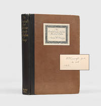
1920ref. 179967Boston: Marshall Jones 1920. From the facts to the fantastic First edition Lovecraft's copy inscribed on the front free endpaper "H. P. Lovecraft Gent. His book. 1924". Lovecraft was well-studied in the history and lore of New England and used this knowledge to imbue his writings with an antiquarian flavour. He took care with the details of geography and setting in his tales using reference works such as this to ensure accuracy. In this copy Lovecraft has loosely inserted four newspaper clippings from the Boston Post and the Boston Globe relating to historical buildings in the city. An active preservationist he wrote frequently to local newspapers expressing outrage over threats to historic buildings. He advocated for a city-funded rehabilitation programme for historic structures as well as zoning laws that would protect neighbourhoods and keep new construction compatible with the city's fabric. His personal correspondence "frequently laments the destruction of historic architecture; for example in 1927 he was 'mortified' to discover that the 17th-century neighbourhood of Boston's North End had been largely demolished" Evans p. 111. Lovecraft's first novelette The Shunned House written in October 1924 was inspired by two 18th-century houses one in Providence and another in Elizabeth New Jersey. Boston itself features frequently in his tales notably in Pickman's Model a short story written in September 1926 and published in Weird Tales in October 1927. Octavo. Frontispiece 23 plates 7 folding maps. Original black quarter cloth spine lettered in gilt brown board sides with paper title label on front fore and bottom edges untrimmed. Edges somewhat worn neat repairs to head of front joint and inner hinges browning to endpapers and p. 131 from Lovecraft's clippings. A well-read copy in good condition. Lovecraft's Library 968. Timothy H. Evans "A Last Defense against the Dark: Folklore Horror and the Uses of Tradition in the Works of H. P. Lovecraft" Journal of Folklore Research vol. 42 no. 1 Spring 2005. hardcover
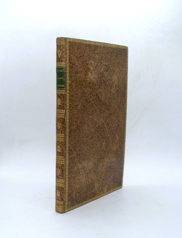
1821ref. PHO-2480Paris, Imprimerie Royale,1821, in-folio (47x31cm), XVII-120pp., 24 planches sous serpentes dont 2 cartes et une planche en couleur d’époque. Basane racinée époque, dos lisse orné avec pièce de titre verte, frises aux plats et aux champs, tranches marbrées. Frottements, quelques épidermures et griffures, petits trous au dos en pied, rares rousseurs