11.078 resultados
1905Outer spine covering slightly detaching. Front hinge weakening. Front map detached but present. ; With 15 Maps and 30 Plans ; 16mo; 474 pages
1905First few pages with very light dampstaining. One map with light marginal wear. Endpapers stamped; With 15 Maps and 30 Plans ; 16mo; 474 pages
1910Boards with very light rubbing to extremities. Former owner's name on front free endpaper; With 19 Maps and 37 Plans of Towns, and 8 Ground Plans; 16mo; 489 pages
1905Spine ends lightly chipped. Front map brittle and detached but present ; Fifteen maps and thirty city plans illustrate the trademark Baedeker prose; Maps; 16mo; 474 pages
1905Boards with light rubbing to extremities. Usual browning to edges; With 15 maps and 30 plans ; Maps; 16mo; 474 pages
1910Boards with very light rubbing to extremities. Spine a bit darkened. Outer hinge started ; With 19 Maps and 37 Plans of Towns, and 8 Ground Plans; 16mo; 489 pages
1910Spine faded and with rubbing to spine ends. Paper label to front board. A nice and complete copy with binding tight - unusual for a ex-lib; With 19 Maps and 37 Plans of Towns, and 8 Ground Plans; Ex-Library; 16mo; 489 pages
1905Spine lightly dampstained. Back hinge started ; With 15 Maps and 30 Plans ; 16mo; 474 pages
1905Spine lightly rubbed. Front map torn. Marginal occasional dampstaining, especially to front few pages; Fifteen maps and thirty city plans illustrate the trademark Baedeker prose; Maps; 16mo; 474 pages
1910Spine a bit rubbed. Front hinge gapping. Endpapers browned and brittle. Small label on half title page. Back endpaper with one corner missing ; With 19 Maps and 37 Plans of Towns, and 8 Ground Plans; 16mo; 489 pages
1910An unusually nice copy. Small stain to spine. Marbled edges a bit browned and faded; With 19 Maps and 37 Plans of Towns, and 8 Ground Plans; 16mo; 489 pages
1905Light wear to boards and with slight bumping to one corner. Front hinge weakening. Corner missing on front free endpaper and half title page. Front map detached but present ; 15 maps and 30 city plans; Maps; 16mo; 474 pages
1905Spine outer covering with moderate rubbing and detaching. Notes on page facing title page. Front map detached but present. Rear hinge started; With 15 Maps and 30 Plans ; 16mo; 474 pages
1905Boards darkened and with chipping to top spine. Light bumping to one corner. Bookplate; With 15 Maps and 30 Plans ; Ex-Library; 16mo; 474 pages
1910Moderate rubbing to spine. Slight gapping to back hinge; With 19 Maps and 37 Plans of Towns, and 8 Ground Plans; 16mo; 489 pages
1888Spine faded, boards with light soiling. Rubbing to spine ends. Front free endpaper out. Front hinge gapping. Closed tear to front map. Pencil notes to first few pages; With 12 Maps and 20 Plans; 16mo 6" - 7" tall; 379 pages
1891Boards browned and rubbed. First few pages brittle and detached, but present. Wear and crease to rear boards and endpaper; With 1 maps and 20 plans ; 16mo 6" - 7" tall; 406 pages
1936ref. 131235Grenoble France: B. Arthaud 1936. stiff paper wrappers in half leather marbled cloth five raised bands marbled endpapers top edge gilt. Belgium. 8vo. stiff paper wrappers in half leather marbled cloth five raised bands marbled endpapers top edge gilt. 146 6 pages. Text in French. Adapted by Jean de Metz. Table of contents and list of other works in the series follow text. Black and white illustrations. Foldout map. A travel guide a volume in "Les Beaux Pays" series. B. Arthaud unknown books
1936ref. 131235Grenoble France: B. Arthaud 1936. stiff paper wrappers in half leather marbled cloth five raised bands marbled endpapers top edge gilt. Belgium. 8vo. stiff paper wrappers in half leather marbled cloth five raised bands marbled endpapers top edge gilt. 146 6 pages. Text in French. Adapted by Jean de Metz. Table of contents and list of other works in the series follow text. Black and white illustrations. Foldout map. A travel guide a volume in "Les Beaux Pays" series. B. Arthaud unknown
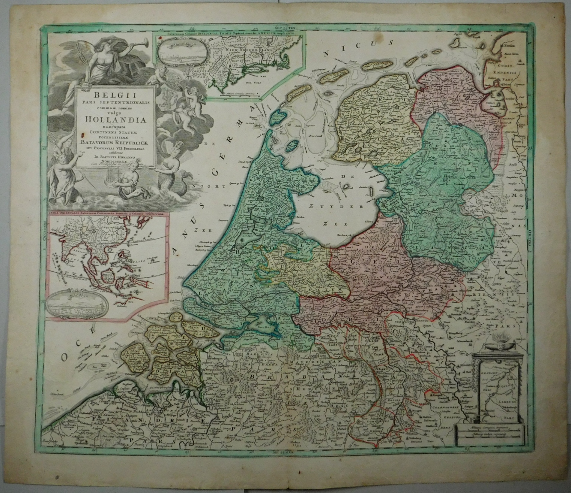
ref. 16590Nürnberg, (ohne Jahr). Kartengröße: 48 x ab 56,4 cm. Blattgröße: 53 x 60 cm. Orig.-Kupferstichkarte mit Kartusche und zwei Nebenkarten, hinter Passepartout, gerahmt.
ref. 205124Leyde, Elzévir, 1630 in-16, [8] ff. n. ch. (titre-frontispice gravé avec les armes de toutes les provinces-unies, introduction, table des chapitres), 352 pp., [5] ff. n. ch. de table des matières, typographie en petit corps, vélin rigide à rabats, dos et plats ornés de filets à froid, tranches bleues (reliure de l'époque). Bon exemplaire.
1710ref. 54639BBNürnberg, Homann., (Um 1710). 54x63 cm. Grenz- und flächenkolorierte Kupferstichkarte mit Kartusche und 2 Nebenkarten. Mittelfalz.
1710ref. 54639BBNürnberg, Homann. (Um 1710). 54x63 cm. Grenz- und flächenkolorierte Kupferstichkarte mit Kartusche und 2 Nebenkarten. Mittelfalz.
1880ref. 142648Leipzig Kollmann. 1880. IX, 374 S. 24*15 cm. OLeinenband mit marmoriertem Schnitt.
1873ref. 21165Lpz., Kollmann, 1873. Mit 48 Stahlstichen [Ansichten] nach englischen Künstlern. Gr. 8°. IX,1,374 S. Halbleinen der Zeit mit montiertem, handschriftlich beschriftetem Rückenschildchen. Deckel mit Kleisterpapierbezug. Gelegentlich etwas braunfleckig, die Tafeln in der Regel nicht betroffen. 1 Tafel mit kleinem Eselsohr.