Richelmy Carlo.MareMagnum
Silvio Furlani Adam WandruszkaMareMagnum
Austria e Italia Storia a due voci
1974Discreto esemplare con sottolineature e principio di distacco delle pagine a circa metà libro. Lettura completamente fruibile.
1929
1940Note, riferimenti bibliografici ed indici.
1974Discreto esemplare con sottolineature e principio di distacco delle pagine a circa metà libro. Lettura completamente fruibile.
1918Mm 130x210 Brossura editoriale di pagine 456, ritratto in antiporta, ancora intonso (a fogli chiusi), timbro al piatto anteriore. Opera in buone condizioni. Spedizione in 24 ore dalla conferma dell'ordine.
1722ref. 66483Leipzig, Gleditsch, 1722. Fol. Mit gest. Frontispiz, Drucktitel in Rot u. Schwarz, 2 gest. Kopfvignetten, 45 (3 gefalt.) Kupfertafeln u. 6 Textholzschnitten. 7 Bll., 309 (recte 308) S., Ldr. d. Zt. a. 5 Bünden m. goldgepr. Rückentitel u. gespränkeltem Farbschnitt.
Porta depliants, cm. 36x22. Illustrazione di Kosel. Perfetto
ref. BN605412edition blimp. Austria InFelix. Zum österreichischen Film der 80er Jahre Austria InFelix. Zum österreichischen Film der 80er Jahre Austria InFelix. Zum österreichischen Film der 80er Jahre edition blimp unknown
1896Boards with small chips along edges. First few pages frail and detached but present, including front map. Internally, a tight, nice copy with pages browning. ; With 28 maps and 25 plans. ; 16mo - 6" to 7" tall; 468 pages
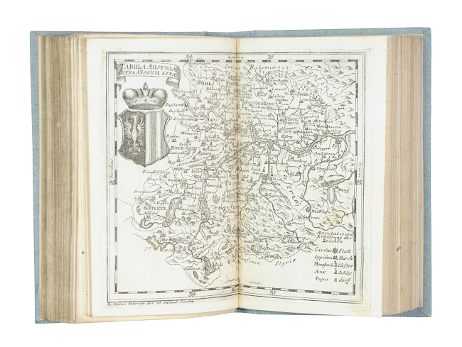
1728ref. 57901Wien, Maria Theresia Voigt bzw. Wolfgang Schwendimann, 1727-1728. Kl.-8°. Mit zus. 12 doppelblattgr. gest. Karten. 104 S., 20 Bll.; 124 S., 12 Bll., Späterer Ppbd.
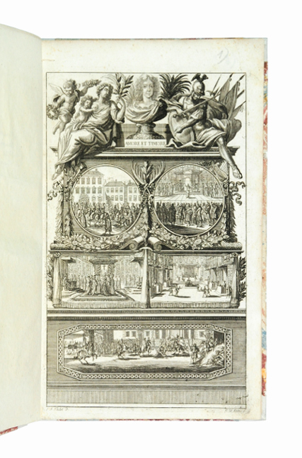
1690ref. 50674Augsburg, Lorenz Kroniger u. Gottlieb Göbels Erben, 1690. Fol. Mit gest. Frontispiz von J. U. Kraus nach J. A. Thelot u. 10 gest. Portraittafeln von L. Heckenauer. 1 Bl., 86 S. - Angeb. - Ders. Augusti corona augustissima Augustae coronata. Das ist: Die Crone aller Prinzeßinnen auf Erden, Nemlich [...] Frau Eleonora Magdalena Theresia, [...] So als Römische Käyserin [...] in [...] Augspurg [...] gesalbet [...] worden. Ebda., (1690). Mit gest. Frontispiz von J. U. Kraus nach J. A. Thelot. 28 S., Mod. HPgmt. unter Verwenung alten Materials.
900Austria Sound Sketch Survey by Lieutenant Frederick C.C. Pasco, and the Officers of H.M. Surveying Ship "Dart" 1902. In the lower part of the chart insert of Allardyce Harbour Sketch Survey by Lieut. F.C.C. Pasco, & the Officers of H.M. Surveying Ship "Dart" 1902. London Published at the Admiralty, 8th Oct. 1904, under the Superintendence of Captain A. Mostyn Field, Hydrographer. Small corrections: 1919. Autore: Admiralty Charts. Luogo: Austria Sound Salomon islands. Anno: '900. Tecnica: incisione. Dimensioni: 484x656 mm
1929ref. 21189571929. Leipzig: Baedeker. 1929. Small 8vo. Original cloth lettered in gilt ornamented in blind; pp. lxiv 16 index 518 86 maps many folding and mostly in colour large folding panorama from the summit of Gaisberg printed in sepia folding panorama from the Schafberg; tiny repair to fold of the first map a few pencil annotations to versos of two maps a very good copy.With corrected typesetter's error on title-page ""Togethep"" indicating that this a later issue of this edition. hardcover
1929Some wear to extremities. A few corners in front dog-eared. Otherwise internally NF ; 16mo - 6" to 7" tall; 518 pages
1929Light bump to one corner; 16mo - 6" to 7" tall; 518 pages
1929A bit of darkening to boards. Light marginal wear to a few maps. ; With 86 maps and plans and 2 panoramas. A handsome copy. Including a lightly torn bookseller sticker from the famous Old Corner Bookstore in Boston. "Togethep" spelling error on title page ; 16mo - 6" to 7" tall; 518 pages
1985176 pages, illustrated, maps, index. eng
1951In-16° picc. pp. 433 con 16 carte ripieg. a col. f.t. leg. in tela edit. Ottimo stato.
1959In 8', tela ed. , risguardi ill., 320 pagine, 10 tavole in nero e 9 a colori fuori testo, 16 carte topografiche a colori e 3 piante di citta'; macchie al piatto ant. e al dorso, quest'ultimo leggermente usurato, timbro ex libris al frontespizio, piccola annotazione a penna in ultima bianca, segni del tempo.
1934ref. VERK0145Vienna, April 1934. 48 nn. S. mit zahlr. Abb. u. 1 gef. Landkarte. OKart., leichte Gebrauchsspuren.
1905ref. 21915Leipzig: Karl Baedeker. Very Good. Tenth Edition. Hardcover. Boards with light rubbing to extremities. One closed tear to front map. Light creasing to back boards.; With 33 maps and 44 plans. Hinrichsen E 57.; 16mo - 6" to 7" tall; 468 pages . 1905. Karl Baedeker hardcover
1911Leipzig, Baedeker, 1911, 16mo legatura originale pp. XXII-602 + 71 mappe a col. 77 cartine col. e due panorami f.t.
2006Milano, TCI, 2006, 16mo legatura editoriale cartonato telato con titoli dorati al piatto anteriore e al dorso, cordoncino in seta e cofanetto cartonato con titoli dorati, pp. 632-(31) con carte a colori alla seconda e alla terza di copertina, numerose figure e cartine nel testo e atlante cartografico (con 18 carte a colori, di cui 8 a doppia pagina) in fine (L'Europa e i Paesi del Mediterraneo, 1 - Supplemento a “La Repubblica” ) .
1991Milano, TCI, 1991, 8vo legatura editoriale, pp. 353 con illustrazioni n.t. e una cartina pieghevole f.t
1981Milano, TCI, 1981, 4to cartonato editoriale con sovraccopertina illustrata a colori, pp. 240 con numerosissime illustrazioni fotografiche in nero e a colori n.t.