248 results
ref. 63-8178Paris: Hotel Du Danube 1887. 11 x 35 cm. Folded Page. Hand-written Signed Receipt on Hotel Du Danube letterhead. Very Good. En Francais. Paris: Hotel Du Danube, 1887. unknown
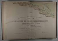
1874ref. 47511Leipzig: F. A. Brockhaus 1874. First edition. Hardcover. vg- to vg. Elephant Folio. 6 leaves 60 Nos. I-LIX plus XXXIb plates two of them folding the others doubled-paged. Original three-quarter red morocco over green pebbled cloth tightened with twelve original metal pegs with gilt lettering and decor embossed medallion of cover gilt lettering and raised bands on spine. Marbled endpapers. Maps of the Danube delta and comparative plans of the mouth and of some river sections of the Soulina arm showing the last works which were carried out there by the European Commission according to the projects of Sir Chr. A. Hartley its leading engineer following the collection of comparative plans published by the commission in 1867. The commission of the Danube River Commission Européenne was authorized by the Treaty of Paris 1856 following the end of the Crimean War and is considered the most successful international commission to control the Danube Delta commerce. It was the precursor of the League of Nations the U.N. and the EU. This extensive atlas with detailed maps charts and technical plans was compiled by the Commission to present the regulations put in place at the Danube Delta between 1857 and 1867 the first decade of neutrality of the region. It contains a detailed folding map of the Danube delta 30 x 50" / 1:100000 rendered in color lithography as all plates showing ports Danube canals and their depth compared to Russian measurements of 1829. The second folding map also showing the Danube Delta and additional maps showing various parts of the delta and its distributaries in detail followed by charts and technical plans. All plates printed to double pages. Text in French. Binding with some wear bump at lower right corner closed tear at tail of spine with very light scuffing rubbed and very light soiling. Large map reinforced with brown tape on verso bleeding through and small 3 x 2/12/" taping on front with two and a half inch closed tear here. Light foxing of endpapers and first few pages. Brown spots on plates XXI through XVII barely affecting lithographs mostly at margins of five plates. Binding in overall good interior in very good- to very good condition. F. A. Brockhaus hardcover
ref. Andersen, Hans ChristianIn Pristine Condition. unknown
ref. 6209825842.Gpaperback. Good. Access codes and supplements are not guaranteed with used items. May be an ex-library book. paperback
ref. 6209823289.Gpaperback. Good. Access codes and supplements are not guaranteed with used items. May be an ex-library book. paperback
ref. 620981560X.Gpaperback. Good. Access codes and supplements are not guaranteed with used items. May be an ex-library book. paperback
ref. 6209813046.Gpaperback. Good. Access codes and supplements are not guaranteed with used items. May be an ex-library book. paperback
ref. 6209820727.Gpaperback. Good. Access codes and supplements are not guaranteed with used items. May be an ex-library book. paperback
ref. 028256604X.Gpaperback. Good. Access codes and supplements are not guaranteed with used items. May be an ex-library book. paperback
1950ref. 1805080390xbvkRomania, not dated, ca. 1950ies. 46 black cardboards, the inner 44 each recto with tipped-in original-photograph of a historic building, numbered #1 to #44 (ca. 17 x 11 cm / 11 x 17 cm), first and last cardboard blank; 2-pages typographic list with the names, locations and century of construction of all 44 buildings. - Gilt-titled thick red original photograph-album with red string-binding; oblong-4to.(ca. 25 x 24 x 3 cm; ca. 1,9 kg.).
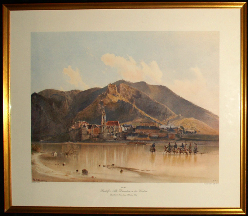
1984ref. GRAP0206(Wien, ca 1984). gerahmt; Bildausschnitt: 39x50,5 cm; Außenmaß: 54,3x65,2 cm; Rahmen links unten geringfüg. abgesplittert, an Oberkante (Rückenrand) kl. Lochverletzung.
1991ref. 7243Stuttgart : Silberburg, 1991. 144 S.; 23 x 25 cm Großformat, Pappband mit Umschlag / gebundene Ausgabe
1904ref. 147801Stuttgart. Strecker & Schröder Verlag 1904. 45, (3) Seiten. Breitrandiges, unaufgeschnittenes Exemplar. Originalbroschur. (Geringe Gebrauchsspuren. Etwas randgebräunt). 16x12 cm
2011ref. 2122974Warsaw (Warschau): Center for Research on the Antiquity of Southeastern Europe 2011. 172 Seiten. Mit zahlreichen farbigen Abbildungen. 4° (30 x 21 cm). Orig.-Broschur. [Softcover / Paperback].
1840ref. 64193Wien, Hof- u. Staats-Aerarial-Druckerei, 1840. Fol. Titel m. Holzschn.-Wappen. 11 (1) S., Heftstreifen.
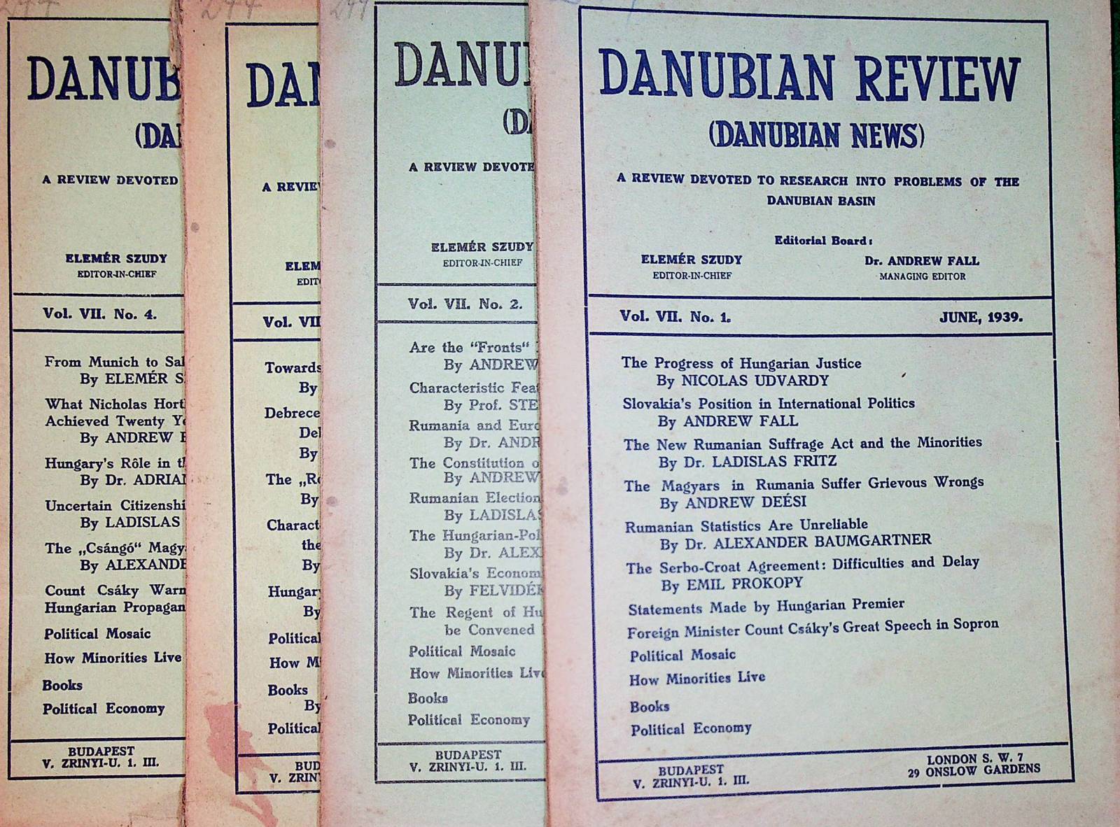
1939ref. CC10-945Budapest, [Hungarian Frontier Readjustment League, etc.], 1939. original Broschur, 8?, 64/64/64/64 pages, a good copy
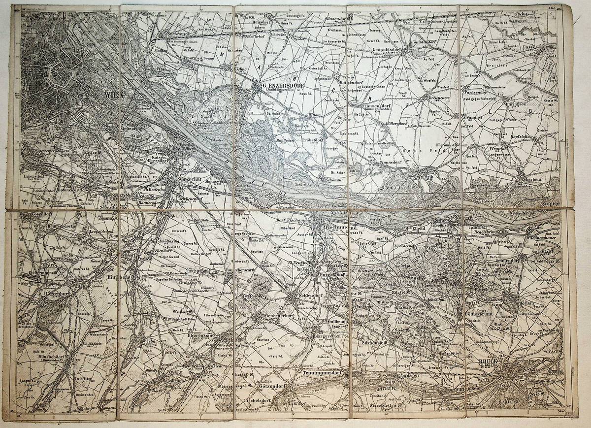
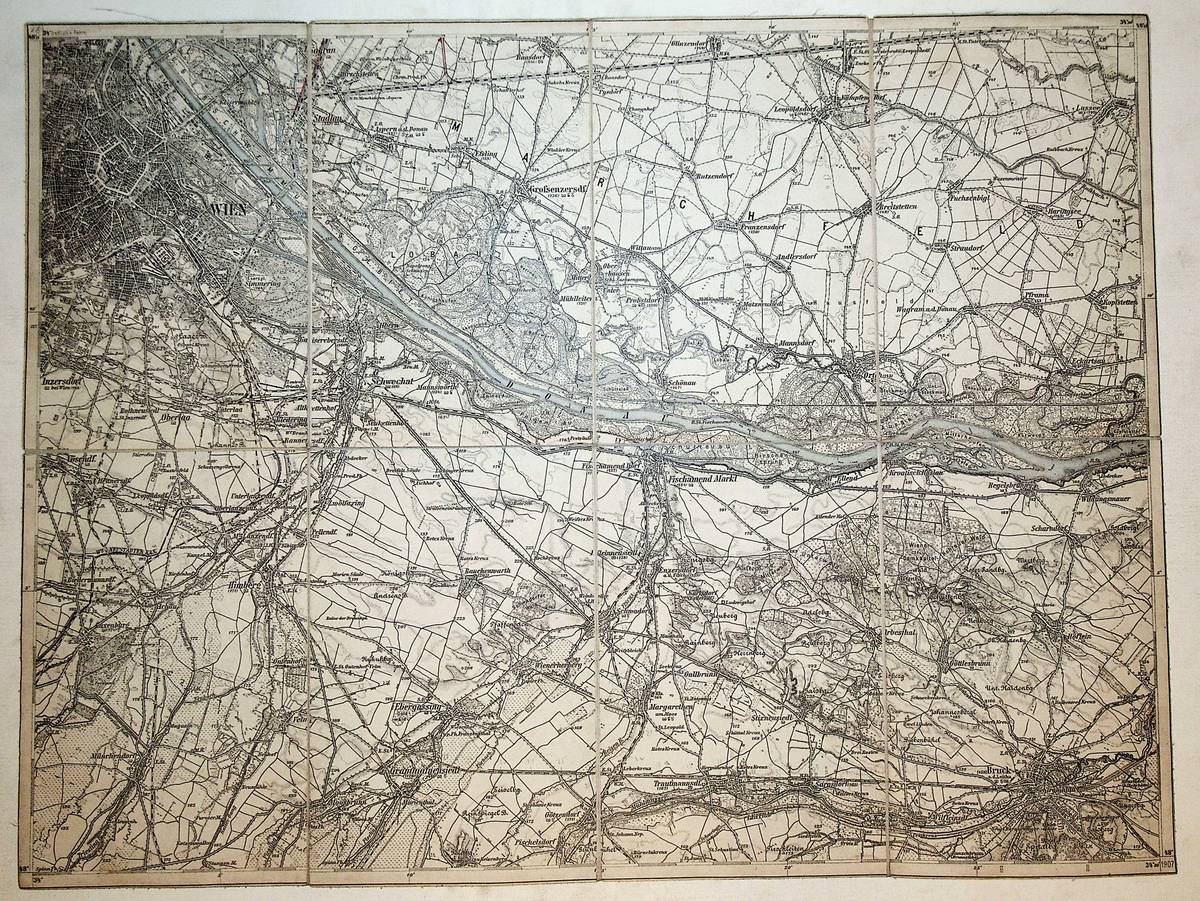
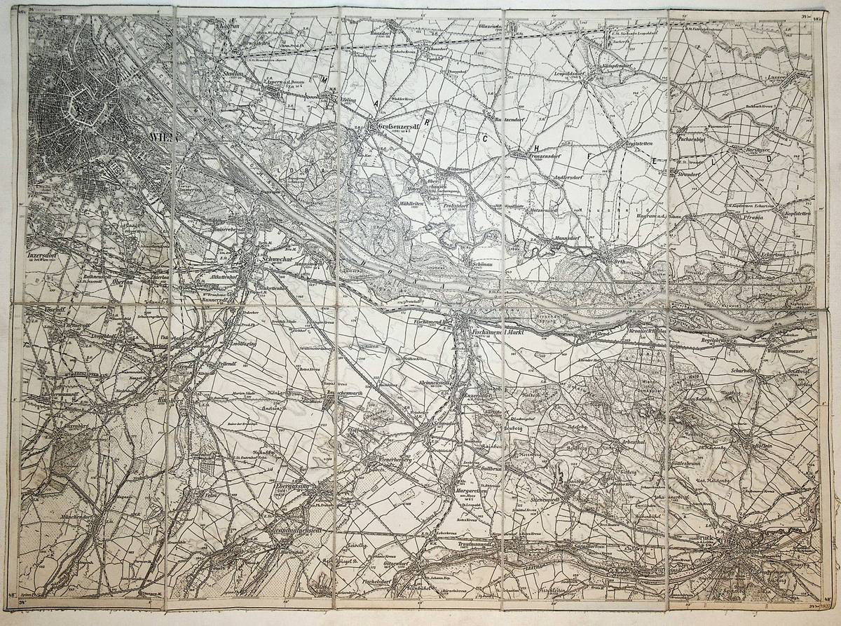
1880ref. K-2102Wien, Milit?rgeographisches Institut, ca. 1880. Formatangabe ca 50 x 37 cm, zu 10 Segmenten auf Leinen gezogen, Ausgabe: einf?rbig ; Zustand: gut
1880ref. K-2101Wien, Milit?rgeographisches Institut, ca. 1880. Formatangabe ca 50 x 37 cm, zu 12 Segmenten auf Leinen gezogen, Ausgabe: einf?rbig ; Zustand: gut
1896ref. K-2052Wien, Kaiserlich-K?nigliches Milit?r-Geographisches Institut, ca. 1896. Hochformat, ca. 38 x 55 cm, gefaltet zu 9 Segmenten, und auf Leinen aufgezogen Ausgabe: mehrf?rbig; Zustand: gut +
1896ref. K-2051Wien, Kaiserlich-K?nigliches Milit?r-Geographisches Institut, ca. 1896. Hochformat, ca. 38 x 55 cm, gefaltet zu 9 Segmenten, und auf Leinen aufgezogen Ausgabe: mehrf?rbig; Zustand: gut +
1909ref. K-1823Wien, Milit?rgeographisches Institut, 1909. Formatangabe ca 50 x 37 cm, gefaltet zu 8 Segmenten, auf Leinen aufgezogen mit aufkaschiertem Titel und Ma?stab und Legende auf je 1 Segmentr?ckseite, Ausgabe: einf?rbig ; Zustand: gut mit 2 Farbeinzeichnungen
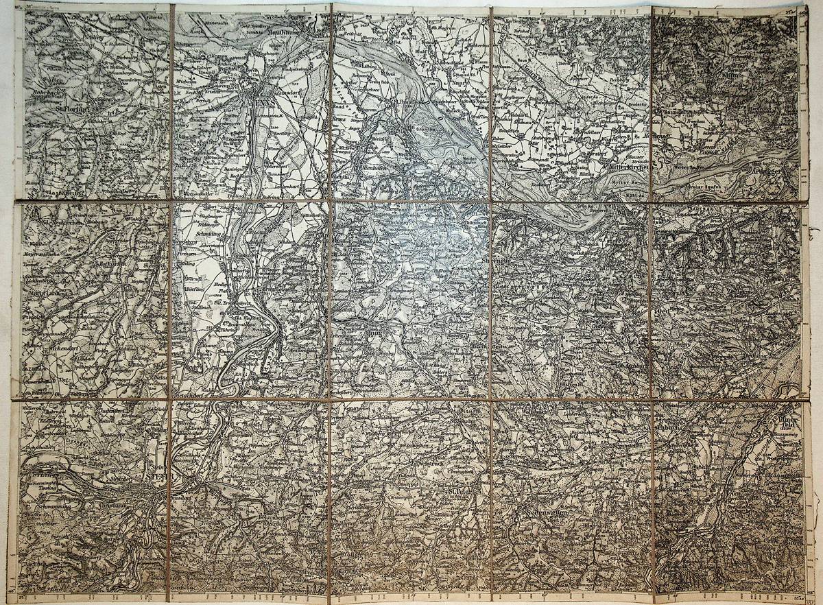
1877ref. K-1473Wien, Kaiserlich-K?nigliches Milit?r-Geographisches Institut, 1877. Formatangabe ca 50 x 37 cm, gefaltet zu 15 Segmenten, auf Leinen aufgezogen, Ausgabe: einf?rbig ; Zustand: gut +
1900ref. K-1463Wien, Kaiserlich-K?nigliches Milit?r-Geographisches Institut, [um 1900]. Hochformat, ca. 38 x 55 cm, gefaltet zu 8 Segmenten, Ausgabe: mehrf?rbig; Zustand: Titel auf R?ckseite aufkaschiert, Ma?stab fehlt, sonst gut +
1876ref. K-1449Wien, Kaiserlich-K?nigliches Milit?r-Geographisches Institut, 1876. Formatangabe ca 50 x 37 cm, gefaltet zu 12 Segmenten, Ausgabe: einf?rbig ; Zustand: Titel und Ma?stab auf R?ckseite aufkschiert, ein Fleck in linker unterer Ecke, ansonsten gut +
1907ref. K-1408Wien, Milit?rgeographisches Institut, 1907. Formatangabe ca 50 x 37 cm, gefaltet zu 10 Segmenten, auf Leinen aufgezogen mit aufkaschiertem Titel und Ma?stab und Legende auf je 1 Segmentr?ckseite, Ausgabe: einf?rbig ; Zustand: gut