Ryan, Erin (Florida State University)Biblio.com

2769 risultati
2026rif. x-1107171520Cambridge University Press 2026. Hardcover. New. 494 pages. 6.00x1.13x9.00 inches. Cambridge University Press hardcover
rif. 51790238-nnew. unknown
rif. 51790238like new. unknown
rif. 0265411416.Ghardcover. Good. Access codes and supplements are not guaranteed with used items. May be an ex-library book. hardcover
rif. 1333543344.Gpaperback. Good. Access codes and supplements are not guaranteed with used items. May be an ex-library book. paperback
rif. 1024605353.Ghardcover. Good. Access codes and supplements are not guaranteed with used items. May be an ex-library book. hardcover
rif. 50638700like new. unknown
rif. 1017439567.Ghardcover. Good. Access codes and supplements are not guaranteed with used items. May be an ex-library book. hardcover
rif. 0332070573.Ghardcover. Good. Access codes and supplements are not guaranteed with used items. May be an ex-library book. hardcover
rif. 45472342-nnew. unknown
rif. 46414054like new. unknown
rif. 0266738001.Gpaperback. Good. Access codes and supplements are not guaranteed with used items. May be an ex-library book. paperback
rif. 0260816345.Ghardcover. Good. Access codes and supplements are not guaranteed with used items. May be an ex-library book. hardcover
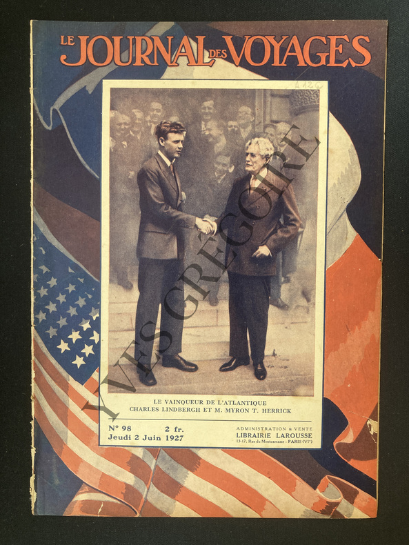
1927rif. ABE-1246355201736 PAGES FORMAT 20,5 CM X 29 CM-EN COUVERTURE "LE VAINQUEUR DE L4ATLANTIQUE CHARLES LINDBERGH ET M.MYRON T.HERRICK"-LINDBERGH A VAINCU L'ATLANTIQUE,4P PAR JACQUES MORTANE,6 PHOTOS-LA TRAGIQUE HISTOIRE DE L'EXPEDITION DE LAUDONNIERE ET DE RIBAULT EN FLORIDE,3P PAR MAURICE BESSON-NOTRE EMPIRE COLONIAL,LA COTE D'IVOIRE,2P-LES MISSIONS SPECIALES AERIENNES PENDANT LA GUERRE,TROIS HEROS QUI FURENT DES "MISSIONNAIRES":JULES VEDRINES,GEORGES GUYNEMER,JEAN NAVARRE,3P,4 PHOTOS-LE 33e BORDEAUX PARIS,4P PAR MAURICE SCHNEIDER,6 PHOTOS,CARTE,RONSSE-A PROPOS DE LA GUERRE CIVILE EN BOLIVIE,3P,6 PHOTOS-LES CHASSEURS DE DANSES,4P PAR GASTON LEROUX-CHEZ LES ANTHROPOPHAGES DE L'AMAZONE DU PACIFIQUE A L'ATLANTIQUE A TRAVERS LE PUTUMAYO,2P PAR LE COMMANDANT MARCEL,3 PHOTOS
1945rif. ABE-58315387564 PAGES-TRAITRE ET HEROS JEAN GIOT EST CONDAMNE A MORT/PHOTO/RAMBOZ/DUPUIS-ATTENTATS TERRORISTES EN PALESTINE-LA RATION A PARTIR DU 1ER JANVIER 300 GRAMMES DE PAIN PAR JOUR-LE MYSTERE DE VENDAYS/PAULE GUILLOU-LA CONFERENCE DE MOSCOU: UN ECHANGE DE CONCESSIONS ENTRE RUSSES ET AMERICAINS-1946 COMME LE VOIT LA VOYANTE FLORIDA/PHOTO-HITLER AVAIT DONNE RENDEZ VOUS AUX JAPONAIS/RENDEZ VOUS A BASSORAH-TENNIS DESTREMEAU VAINQUEUR DE LUCOT-ARMENIENS ET KURDES S'AGITENT-CINQUANTENAIRE DU CINEMA/2 PHOTOS (PJ18)
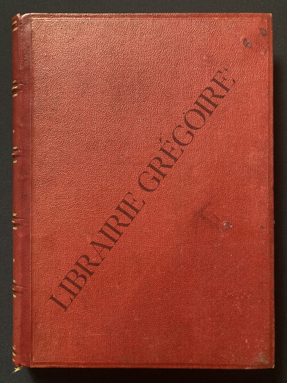
1870rif. ABE-1704155220817VOYAGE DANS LES VALLEES DE QUINQUINAS (BAS-PEROU), PAR PAUL MARCOY, 1849-1861-COURSE SUR LES GLACIERS DU MONT ROSE (VALAIS ET PIEMONT), PAR CHARLES GRAD, 1866-EXPLORATION DES AFFLUENTS ABYSSINIENS DU NIL, PAR SAMUEL W BAKER, RECITS DE CHASSE 1861-1862-ROME, PAR FRANCIS WEY, 1864-1870-SOUVENIRS D'UN VOYAGE CHEZ LES SLAVES DU SUD, PAR GEORGES PERROT, DESSINS PAR TH VALERIO, 1868-LE PANDJAB ET LE CACHEMIR, PAR GUILLAUME LEJEAN, 1866-QUATRE MOIS EN FLORIDE, PAR M POUSSIELGUE, 1851-1852-REVUE GEOGRAPHIQUE 1870, PAR M VIVIEN DE SAINT-MARTIN-RELIURE-TITRES DORES-SIGNET-434 PAGES-(EM1223)
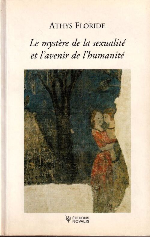
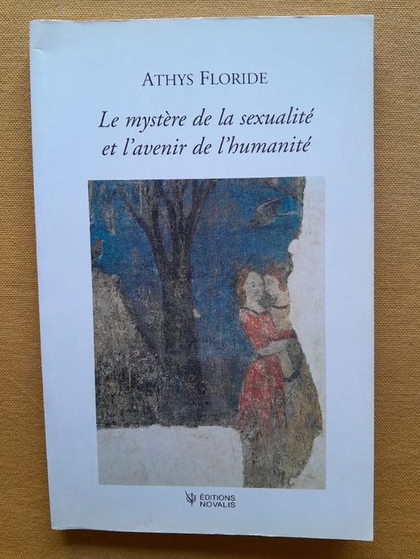
rif. 19968Éditions Novalis, 2003. Broché au format 155 x 210 mm, 129 pages. Propre. Peu courant.
rif. 942Montesson, Éditions Novalis, 2003, in-8, br., 129 p. Avec une conférence de Rudolf Steiner: «Le sens de la Terre», Berlin le 14 mai 1912. Bon état.
1705Raffigurazione geografica del territorio nord americano in particolare di Canada o Nouvelle France ed una parte degli Stati Uniti (Florida, Carolaina, Luisiana, Virginia...). Interessante evidenziare come l'estensione del Canada venga aumentata, verso sud, a discapito dei territori delle colonie inglesi.
1934Copertina illustrata a colori in fascicolo originale completo de "La Domenica del Corriere" del 6/05/1934
1934La tavola di copertina, a colori, e quella opposta ma non descritta, de "La Domenica del Corriere", n. 18 del 6/05/1934
1705Carta geografica in cui sono raffigurati i territori della Florida, il Texas ed il Messico. Sia lungo la linea costiera che il territorio del Texas si rifanno alle esplorazioni di La Salle.
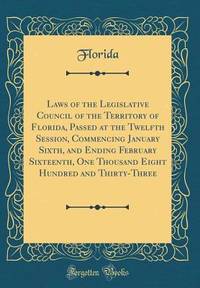
rif. B9781014231079Hardback. New. hardcover
1917rif. 40726Washington D.C.: Published by the United States Coast and Geodetic Survey 1917. Nautical chart printed on heavy paper stock. Uncolored with minor wear. A rare original coastal survey of the Legare Anchorage in Florida's Biscayne Bay with Elliot Key and Sands Key. Established by President Thomas Jefferson in 1807 as the Survey of the Coast the U.S. Coast and Geodetic Survey was the United States' first civilian scientific agency. This agency has followed its mission to survey the U.S. coastline create nautical charts of the coast and help increase maritime safety since its founding and has often played fascinating roles in significant chapters of U.S. history. It served in all theaters of the Civil War in the service of the Union Army and Navy pioneered acoustic exploration in the wake of the sinking of the Titanic and during WWI it worked to detect enemy submarines. In addition this agency worked to survey and produce detailed maps and renderings of the U.S. coast. These nautical survey maps commonly referred to as "T-sheets" provide fascinating insights into the history of the United States coastline which has and will continue to shift. These maps are the most important data source for understanding the physical and ecological characteristics of the U.S. shoreline. The present map is a highly detailed and accurate sea chart of the Biscayne Bay region and an important historical view of a developing Florida. Published by the United States Coast and Geodetic Survey unknown
1917rif. 40726Washington D.C.: Published by the United States Coast and Geodetic Survey 1917. Nautical chart printed on heavy paper stock. Uncolored with minor wear. A rare original coastal survey of the Legare Anchorage in Florida's Biscayne Bay with Elliot Key and Sands Key. Established by President Thomas Jefferson in 1807 as the Survey of the Coast the U.S. Coast and Geodetic Survey was the United States' first civilian scientific agency. This agency has followed its mission to survey the U.S. coastline create nautical charts of the coast and help increase maritime safety since its founding and has often played fascinating roles in significant chapters of U.S. history. It served in all theaters of the Civil War in the service of the Union Army and Navy pioneered acoustic exploration in the wake of the sinking of the Titanic and during WWI it worked to detect enemy submarines. In addition this agency worked to survey and produce detailed maps and renderings of the U.S. coast. These nautical survey maps commonly referred to as "T-sheets" provide fascinating insights into the history of the United States coastline which has and will continue to shift. These maps are the most important data source for understanding the physical and ecological characteristics of the U.S. shoreline. The present map is a highly detailed and accurate sea chart of the Biscayne Bay region and an important historical view of a developing Florida. Published by the United States Coast and Geodetic Survey unknown books