1965rif. RO30309624R.S.T.. 1965. In-8. Relié. Bon état, Couv. convenable, Dos satisfaisant, Intérieur frais. 155 pages. Nombreuses gravures en noir et blanc et en couleurs dans et hors texte.. . . . Classification Dewey : 951-Chine
rif. 28845RST, collestion "caravelle", 1965. Format 18x26 cm, cartonnage editeur, 152 pages. Bon etat.
1964rif. 4348Paris : Librairie Charpentier, 1964. 189 p. Kl. 8°. Broch. orig. (Ouvrages de Poche pour les Jeunes ; 520)
8vo, tela rossa con scritte oro in sovracoperta. editoriale illustrata con ali; 286 pp.; 2 apparati fuori testo di bellissime tavv. a colori applicate; a cura di M. Olsùfieva
rif. 13902Paris Ernest Flammarion In-8 Fort 408 pp, illustrations en noir in et hors-texte, quielques rousseurs éparses, tampon et numéro de bibliothèque. Exemplaire de travail, dos manquant, toile passée, coins et partie des coupes émoussés.
rif. 37033101New York 1944 Weekly Pubs. Pictorial wrappers very good & solid example black & white photos full week issue21 x 27 cm. color map. FIRST & ONLY EDITION . "Uncle Joe Stilwell Tired Of Waiting For Wavell And Auchinleck To Act In Opening New Road to China The Burma Road aka. Stilwell Road in Burma. . Excellent article on Stilwell and his "New Marauders" jungle fighting Americans & Chinese army push the road to Kunming China. . Major General Chennault founder of the "A.V.G." "AMERICAN VOLUNTEER GROUP" later called the "FLYING TIGERS" of Burma and China air drops supplies to Stilwell. . See photos posted to our website . . unknown
rif. 51075Washington Mickelson Gallery 1965 grand in 8 (24x21,5) 1 volume broché, couverture illustrée d'une lithographie originale en couleurs de Pol Mara (sur les 2 plats) (original color lithograph covers), 17 pages, avec des illustrations, dont 6 planches hors-texte en couleurs contrecollées. Texte préliminaire en langue anglaise par Meda Sokolova-Mladec. Texte en français par Francine-Claire Legrand, et Jean Dypréau. Léopold Leysen, dit Pol Mara, Anvers 1920 - 1998, peintre et dessinateur belge. Edité à l'occasion de l'exposition Pol Mara présentée à la Mickelson Gallery, du 5 au 29 février 1965, paintigs, watercolors, gouaches (wax). Bel exemplaire
1921rif. 9923dessiné à l'encre de Chine par G. de Jourda de Vaux, héraldiste et célèbre dessinateur de châteaux et vieilles demeures. L'illustration est composée des blasons de "Perogiae Perogiarum Urbs Imprenabilis", de Savoie et d'Arloz, du dessin de l'Ostellerie de Pérouges, et au centre, collé, le dessin original de l'écusson provenant de la maison du Prince, qui est reproduit dans tous les ouvrages et guides sur Pérouges.
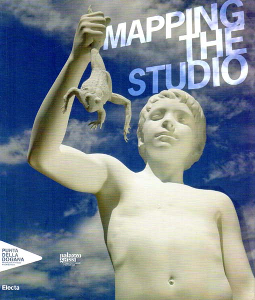
2009rif. 2772EBMilano., Electa Editore., 2009. 29 x 25 cm. 383 S. OKarton mit illustriertem OKlappenumschlag., 2772E 1. Auflage. Rücken etwas lesespurig, Umschlag verso etwas angestaubt, sonst sehr gutes Exemplar.
2026rif. x-1032782544Taylor & Francis Ltd 2026. Paperback. New. 322 pages. 6.14x0.69x9.21 inches. Taylor & Francis Ltd paperback
1984rif. 2083002116205434China International Book Trading Co. Ltd. Beijing 1984. Soft Cover. Fine. The book is in fine condition. China International Book Trading Co., Ltd. (Beijing) paperback
rif. 12394Shanghai, early 20th century 1 map, 55*45 cm, depicting Wuchow and Environs showing limits, foreign properties and native city, a good copy.
Large colour folding map of China, 114.5 x 162cm. Features inset maps of South China Sea Islands and a world map showing China's Geographic Location at lower corners. Scale 1:4000,000. Text in Pinyin, English and Chinese characters. Shows administrative regions correct to December 1983; boundaries, water features, capitals, towns, villages, shipping and other transport routes.
1986rif. RO80124691CARTOGRAPHIC PUBLISHING HOUSE. Janv. 1986. In-12. En feuillets. Etat d'usage, Couv. convenable, Dos satisfaisant, Intérieur acceptable. Carte dépliante en couleurs, de 74 x 53 cm. Petites déchirures au niveau des pliures. Légendes en anglais. Echelle : 1 / 9000000.. . . . Classification Dewey : 951-Chine
1984rif. 64190Beijing, China International Booktrading Corporation 1984.
1981rif. RO20125714CARTOGRAPHIC PUBLICHING HOUSE. JUNE 1981. In-8. Broché. Bon état, Couv. convenable, Dos satisfaisant, Intérieur frais. Carte 80 X 50 cm en couleurs. 1er plat taché.. . . . Classification Dewey : 951-Chine
1981rif. 217463Beijing.: China Cartographic Publishing House. 1st Edition 1st Printing. 1981. Large coloured topographic folding wall map of China scale 1:6000000 in original paper folder showing boundaries corrected up to June 1980. Inset map of South China Sea Islands scale 1:15000000. Slight discolouration to wrapper edges and along folds on reverse of map else a very good copy in excellent condition colours bright. Text mainly in English with some publication details in Chinese. Sheet measures 76 x 108cm. Interestingly as well as an inset map of the South China Sea claiming all islands inside the 9-Dash Line as Chinese and providing their names in pin-yin the outline of China on the wrapper also features a 9-Dash Line protruding to the south. The disputes in the South China Sea over ownership of the islands that started in 1970 had become a contentious issue by 1981 when this map was published. . China Cartographic Publishing House. unknown
1840rif. 20220460Board of Managers of the Baptist General Convention 1840. First Edition. Hardcover. fine. Octavo; map measures approximately 9 x 5.5 inches / 231 x 140mm; this volume is original half calf with marbled boards. NOTE: the first half of this volume was used as a scrapbook and has at least 32 engravings of scenes military men and literary person glued to the pages not affecting the map which is bound in place. This map is a variant of the original map which appeared in the third volume of THE CHINESE REPOSITORY. That map measures 14 1/4 x 18 1/2 inches and has titles in Chinese ideograms and in English. THIS MAP has names in English or the English equivalent of the Chinese identifications. This map accompanies an article "MIscellany" with sub-title " Canton and the River Tigris " another section of which is "The Physical and Moral evils inflicted on the Chinese by a Christian people for the love of gain". More of the entry discusses at length the problems of opium as previously described in the Calcutta Christian Observer with supporting remarks. Rev. Bridgman was the editor of THE CHINESE REPOSITORY. He was the first American Protestant Christian missionary sent to China and America's first Sinologist. NOTE: This volume also includes missionary reports by Rev. Abilone Abel Bingham to the Ojibwa Indians of Lake Superior and the Upper Peninsula. Other matter on the Ottawas. Board of Managers of the Baptist General Convention hardcover
1914rif. 215760Yokohama.: Thomas Cook and Son; Box of Curios Press. circa1914. Folding coloured map of Japan showing steamship and railway routes picked out in red 28.5 x 336.2cm large inset map shows Japan's connections with Korea Manchuria and North China; tipped into the original blue card title-wrappers small professionally sealed tear to a lower margin no loss early owner's neat inked tracing to a few railway routes and a note to the front cover "Ymato - Kobe - left side of Torr Rd." tracing; but overall an excellent copy of a scarce item of Thomas Cook ephemera. Very scarce early 20th Century map of Japan for English speaking tourists. We can find no copies listed on WorldCat. Although the wrappers bear the Thomas Cook logo used in the late 19th Century the map carries the updated logo adding the ribbon "Australasia" in use from 1914 until the late 1920s. . Thomas Cook and Son; Box of Curios Press unknown
rif. 13035London, George Philip & Son, Limited. A map in perfect condition under green cloth covers, used and damaged by insects. Folding map of China in near fine condition, size 65*55 cm, 2 inset maps- Peking and Environs, Hong Kong and Canton.
rif. 12399Chang-Hai, Imprimerie de l'Orphelinat de T'Ou-Sè-Wè, Zi-Ka-wei, 1908. 1 large folding map of China and its 18 provinces, by L. Richard, transliterated by M. Kennelly S.J, Sicawei Collège. 80*60 cm, unfortunately with some clear waterstains. Sold as it is, price in accordance.
1913rif. 168261London: War Office 1913. Modernity's steel rails The 1913 version of a map that was issued periodically throughout the 1910s. Drawn and printed at the Ordnance Survey Office in Southampton it highlights railways built in progress and proposed and two inset maps show links to Beijing and in Manchuria. A column of notes gives gauges mileages and notes on construction. The map shows that at the onset of Republican rule China had around a dozen lines in progress or planned - including a stretch linking Hankou to Canton - to complement the main lines connecting Beijing to Hankou Shanghai and Mukden. The side notes address the complexity of the railway network's governance and administration - lines were variously built managed and worked by combinations of foreign and Chinese organizations. Colour lithographed map 740 x 990 mm. Sometime folded occasional scuffing and edge toning two panels on verso browned: a very good example. unknown
1977rif. 59731977 Editions Galilée, Paris, 1977. Un volume in-8 couverture illustrée à rabats, 290 pages. Rousseurs sur les tranches, néanmoins bon état.
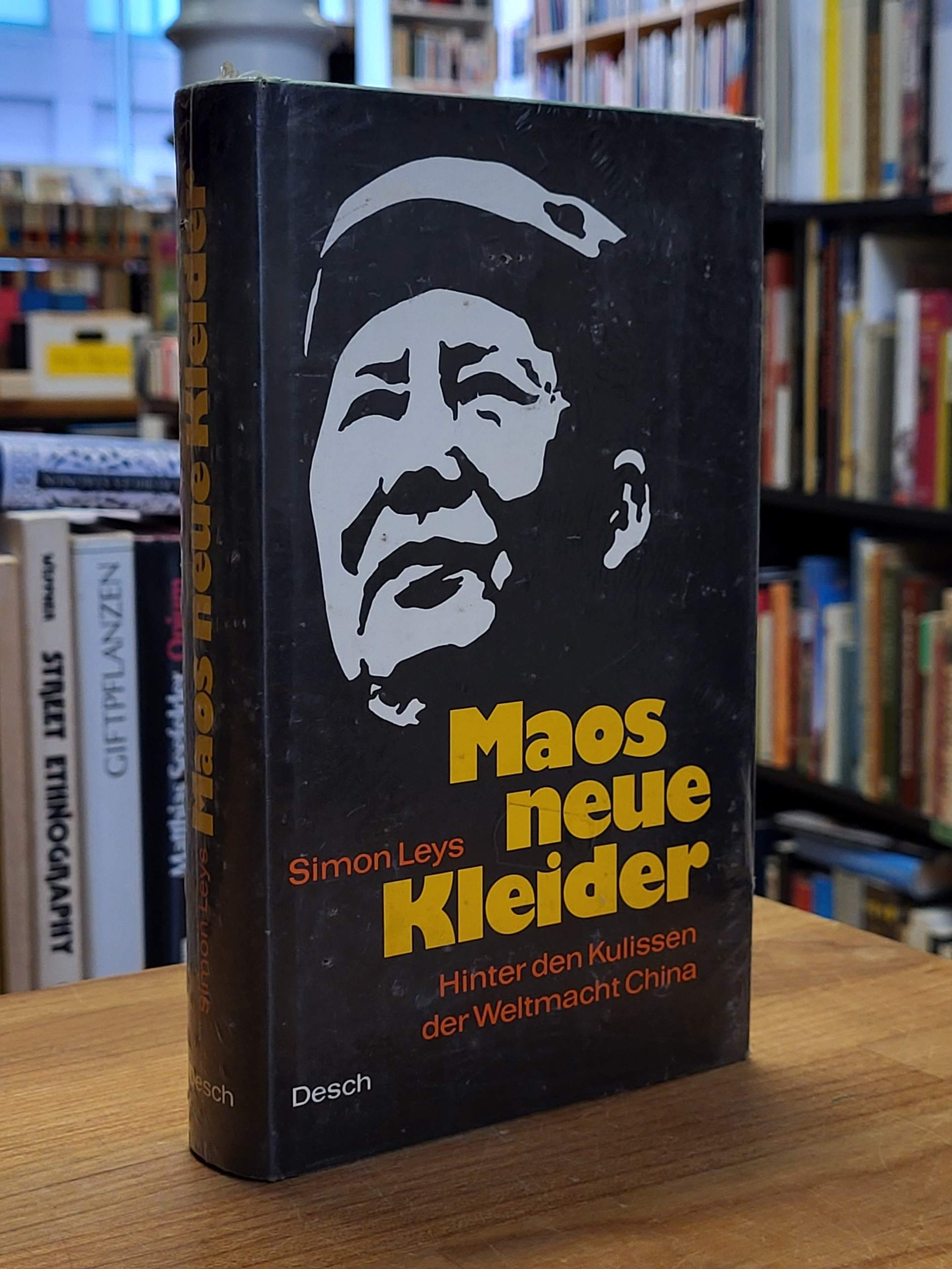
1972rif. 21702CBMünchen / Wien / Basel, Desch, 1972. 8°, 327 S., original Pappband (Hardcover), original Schutzumschlag, Erstausgabe noch original verschweißtes Exemplar
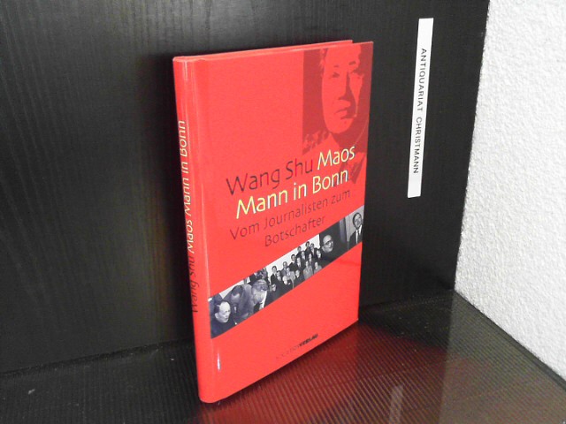
2002rif. 18313Frankfurt am Main : Societäts-Verl. 2002. 205 S. : mit Abb. ; 21 cm, mit Schutzumschlag Pp., gebundene Ausgabe, Hardcover/Pappeinband, Exemplar in gutem Erhaltungszustand, Neupreis in Euro: 19,90