[C.T. LOO] - [CALLIGRAPHIES]Livre Rare Book
Hahne, Hanako CAntiquariat.de
Jeder Augenblick ist einmalig - Ichi Go Ichi E - one and only.
2004Best.-Nr. 93197Selbstverlag, 2004. 38 S. 8° Oktav, Broschiert
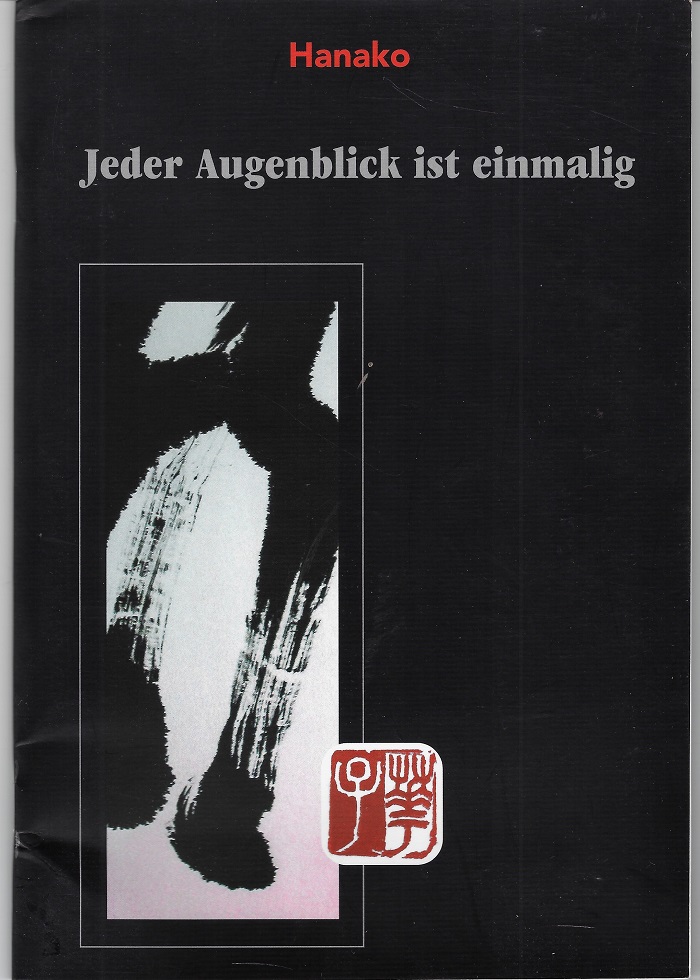
Antiquariat Boller · Deutschland18,80 €
2.138 Ergebnisse
Best.-Nr. 8738Paris, C.T, Loo & Cie, 1974. 1 plaquette in-8, brochée, 84 pp., enrichie de très nombreuses reproductions photographiques hors texte, en noir et blanc, bon état.
1983Best.-Nr. 2091502135417784Not Available 1983. Soft Cover. Fine. Number of books: 1 Not Available paperback
2004Best.-Nr. 93197Selbstverlag, 2004. 38 S. 8° Oktav, Broschiert
1968Best.-Nr. 25BBGütersloh, Lizenzausgabe für Buchgemeinschaften., 1968. 4°. [21,8 : 29 cm]. 176 Seiten. Mit Begriffserklärungen, einer vergleichenden Zeittafel und einem Register. Grüner Originalleinenband mit blindgeprägter Deckelvignette, goldgeprägtem Rückentitel, Kopffarbschnitt und doppelseitigen Karten auf Vor- und Hintersatz. (Stehkapital gering bestossen). - Ansonsten ein sehr gut erhaltenes, sauberes Exemplar in fester Bindung und ohne Eintragungen. = 1. Auflage. Schätze der Weltkunst.
Best.-Nr. 8768Galerie Erval, Paris, 1986. In-4, broché sous couverture illustrée en couleur, 15 pp. Pages... d'endroits, par Daniel Pommereulle - Planches - Liste desœuvres reproduites dans le catalogue.
1908Best.-Nr. MILI2257Berlin, Schall o. J. [ca 1908]. 36 x 26,5 cm. 4 Bl., 347 Seiten. Mit 6 mehrfarbigen, 10 doppelseitigen, u. 19 einseitigen einfarb. Vollbildern bzw. Karten sowie zahlreichen Textbildern. OLn. mit reliefierter mehrfarbiger Deckelillustration u. Einbandgoldpräg. u. Rotschnitt. Kapitale leicht berieben, Papier gebräunt. Im Ganzen gutes Exemplar
1983Best.-Nr. 2091502135403625educational book publisher 1983. Soft Cover. Fine. Number of books: 1 educational book publisher paperback
1937In-8, primi 2 volumi, tela, pp. XVI,373; IX,416; con 3 tavv. a colori f.t. (una a doppia pag.) e 10 riproduz. di mappe e ritratti nel t. Tutto il pubblicato. Molto ben conservati.
2002Best.-Nr. 2091502135416745Not Available 2002. Soft Cover. Fine. Number of books: 1 Not Available paperback
1971Best.-Nr. 2091502135406755Toa shubbansha 1971. Soft Cover. Fine. Number of books: 1 Toa shubbansha paperback
1925Best.-Nr. 16419ABBreslau, Hirth, 1925. 24 : 17 cm. 4 leaves, 403 pages, 2 leaves, with 193 photographs by the author. Illustrated half cloth.
1997Best.-Nr. 2080302106809263Akashishoten 1997. Soft Cover. Fine. The book is in fine condition. Akashishoten paperback
2017Best.-Nr. 2091502135419235Not Available 2017. Soft Cover. Fine. Number of books: 1 Not Available paperback
1930Best.-Nr. 48662ABBerlin, Atlantis 1930. 1.-10. Tausend 4°. LIV S. 256 Tafeln. Orig.-Ln. Orig.-Schutzumschlag, Verlagsschuber (dieser mit Fehlstelle!) --- Orbis Terrarum --- Sehr gutes Exemplar, auch Schutzumschlag von sehr guter Erhaltung. 10 Orig.-Ln. Orig.-Schutzumschlag, Verlagsschuber (dieser mit Fehlstelle!)
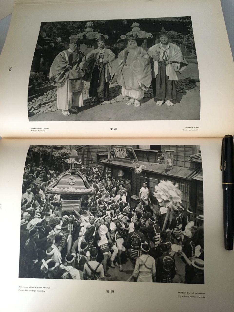
Best.-Nr. 15594Berlin 1930. 4to. liv p., map, 256 plates. [Fine copy, original cloth]. Plates: 1 Fuji; 2-7 Hokkaidô; 8-192 Honshû; 193-202 Shikoku; 203-217 Kyûshû; 218-41 Korea, 242-56 Taiwan.Captions in Japanese, German, French, English & Italian. Published in the series Orbis Terrarum. Photographs by H. G. Ponting, A. von Graeffe, G. Fellner, G. von Ettorff, K. With, F. M. Trautz & others.
1930Best.-Nr. 23080Berlin, Atlantis-Verlag, (1930). 4°, LIV Seiten, 1 Karte, 256 ganzseitige Photos in Kupfertiefdruck. Orig.Leinen mit Goldprägung und OSU.
1930Best.-Nr. 267Bln, Atlantis, (1930). Landschaft, Baukunst, Volksleben. Aufgenommen von A.v. Graefe, G.v. Estorff, G. Fellner, H. Ponting u.a. Geleitwort: W. H. Solf. 4°. LIV S., 1 Blatt mit 1 Karte, 256 S. mit ganzseitigen Abb. OLeinen. Einband z.T. minimal ausgebleicht, innen gelegentlich etwas stockfleckig, sonst sehr schönes Exemplar.
1930Best.-Nr. JAP2742Berlin, Atlantis-Verlag, 1930. 1.-10. Tsd., (Orbis terrarum / [Reihe 3] / [Asien] ; [Bd. 26]), LIV Seiten, 1 Kt., 256 Taf. mit fotogr. Abb. (Kupfertiefdruck), H 31 x 24 cm, OGanzleinen. - Rücken etwas verblasst, sonst guter Zustand. fest gebunden/ hardcover
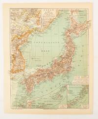
1902Best.-Nr. 174898Leipzig.: Bibliographisches Institut. 1902-1908. Map printed in colour 27.2 x 21.4 cm inset colour key to territorial administration by country inset "western continuation of the main chart" including the Gulf of Tschili and Tsientsin and two insets at the foot of the map to the Kuril and the Ryuku Islands text in Geman central fold slight edge toning but in very good condition. Attractive map text in German prepared for Meyers Großes Konversations-Lexikon. . Bibliographisches Institut unknown
2002Best.-Nr. 2091502135415179Not Available 2002. Soft Cover. Fine. Number of books: 6 Not Available paperback
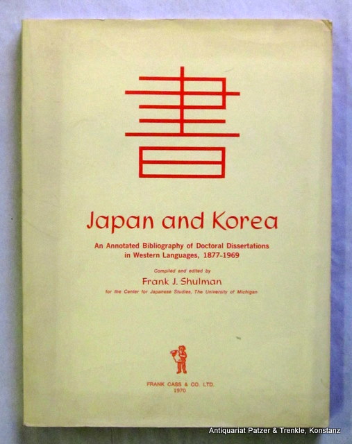
1970Best.-Nr. 149250An Annotated Bibliography of Doctoral Dissertations in Western Languages, 1877-1969. London, Cass, 1970. Fol. 340 S. Or.-Kart.
1925Best.-Nr. 64345Tokyo Japan: Japanese Government Railways; Chosen Government Railways; South Manchuria Railway Company et al. Toppan Printing Co. 1925. Oblong 4to. 8.6 x 8 in. 2 72 18 columns i.e. 46 pp. printed in double columns throughout although some ads are double-column size and in red & black decorative red borders. With text illustrations & diagrams in red 4 colour maps 1 4-column or double-page. photo illustrations throughout. Self-printed colour-illustrated softcovers front cover art of Mt. Fuji by Hokusai colour map back cover for the N.Y.K. & O.S.K. Steamship lines slight dustsoiling very faint tidemark at foot of spine slight edgewear still a VG bright copy. First edition of this combination land promotion and travel brochure later available at the Japanese pavilion in the ill-fated 1926 Sesquicentennial International Exposition held in Philadelphia PA. Potential Asia travelers are supplied with travel information steamship instructions details on the Railways including the J.G.R. places to visit in Taiwan Formosa; cities sites and experiences in Korea along the Chosen Government Railway line as well as travel through Japanese-controlled Manchuria China during the Roaring 20’s. Worldcat locates 1 copy U of DE. [Japanese Government Railways; Chosen Government Railways; South Manchuria Railway Company, et al. (Toppan Printing Co.)], paperback
1925Best.-Nr. 4180ABBreslau, Hirt, 1925. 401 S., Fotos Ln., Oberes Gelenk gelockert, kl. Tintenfleck auf oberen Deckel.
1851Best.-Nr. 200120AG1851. London Edinburgh & Dublin J.& F. Tallis 1851. Original steel engraving / Vintage map. Drawn and engraved by John Rapkin. Partly hand-coloured. Illustrations by H. Warren and Enrgaved by J.H. Kernot. Plate Size: 33 cm x 25.5 cm. Sheet Size: 37.4 cm x 27.3 cm. Vintage 19th century map in very good condition. Published in the Illustrated Atlas And Modern History Of The World Geographical Political Commercial & Statistical Edited By R. Montgomery Martin. Beautifully bordered and fascinating map of Japan and Korea. The names of the major islands of Japan - Kiosiou Sitkokfi Shikoku and Niphon Honshu and the southern tip of 'Matsmai or Yersqi' Hokkaido are included on the map. Below the elbow of Honshu can be seen the tiny island of Fatsisio - the 'place of exile for the Grandees of Japan.' The map's nomenclature is interesting: Tokyo not yet the capital is named as Yedo while the then-capital Kyoto appears as 'Meaco'. Across the Korean Strait modern Seoul appears as 'Han y'. As these maps were being published both of these ancient and distinctive states Korea - the 'Hermit Kingdom' - and Japan - isolated under the centuries' long under the sakoku policy - were having to acclimate to increased Western influence in their region. The 1853-54 U.S. diplomatic and military naval expedition under Commodore Perry would force the establishment of diplomatic relations between Japan and the western "Great Powers" and eventually to the collapse of the ruling Tokugawa shogunate and the Meiji Restoration. Japan would partially embrace the West and western influences and emerge as a burgeoning regional power eventually establishing control over Korea by the early 20th century - at the beginning a calamitous half-century for the region. John Tallis 7 November 1817 3 June 1876 was an English cartographic publisher. His company John Tallis and Company published views maps and atlases in London from roughly 1838 to 1851. Tallis set up as a publisher with Frederick Tallis in Cripplegate in 1842; the business moved to Smithfield in 1846 and was dissolved in 1849. From 1851 to 1854 Tallis operated as John Tallis and Company. He started The illustrated news of the world and national portrait gallery of eminent personages in 1858 selling it for £1370 in 1861; it folded in 1863. Wikipedia The most important project John Tallis undertook was the 'Illustrated Atlas' from 1851. The original map we offer here was part of this exceptional Atlas and all the maps it contained are still today considered as the last reminder of an era of lavish map production. Tallis worked the project together with John Rapkin 1815-1876 and it was Rapkin's style and talent that we have to thank for when we marvel at these maps today. What makes these maps so special is the detail of engraved vignettes that surround the map and often show indigenous scenes people in their environment and even more so historical buildings or historical views of towns and cities architecture and landscape. The project of 'The Illustrated Atlas' was designed to be finished just in time for the anxiously awaited "Great Exhibition of the Works of Industry of All Nations" or The Great Exhibition sometimes referred to as the Crystal Palace Exhibition in reference to the temporary structure in which it was held was an international exhibition that took place in Hyde Park London from 1 May to 11 October 1851. It was the first in a series of World's Fairs exhibitions of culture and industry that became popular in the 19th century and it was a much-anticipated event. The Great Exhibition was organized by Henry Cole and Prince Albert husband of the reigning monarch Queen Victoria. It was attended by numerous notable figures of the time including Charles Darwin Samuel Colt members of the Orléanist Royal Family and the writers Charlotte Brontë Charles Dickens Lewis Carroll George Eliot and Alfred Tennyson. Music for the opening was under the direction of Sir George Thomas Smart and the continuous music from the exhibited organs for the Queen's procession was "under the superintendence of William Sterndale Bennett". Wikipedia unknown
2011Best.-Nr. 56683Cartouche 2011 In-8 19,6 cm sur 15,6. 76 pages. Très bon état d’occasion.