Charles DarwinBiblio.com
1 610 résultats
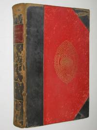
réf. 25070107Ward Lock UK No Date. Hardcover. Good/Fine. Hardcover. 492 pages. PUBLISHING DETAILS: Ward Lock UK No Date. CONDITION: The book itself is in good condition and comes in fine dust jacket. More specifically: Covers have moderate rubbing/wear. Edges of boards have substantial wear. Dust jacket is in excellent condtion. . Pages are lightly tanned. Heavily foxing on last few pages. Marbled edges faded. ABOUT THIS BOOK: Full title: Journal of Researches into the Natural History and Geology of the Countries Visited During the Voyage of H.M.S. "Beagle" Round the World Quantity Available: 1. Category: Natural History & Resources; Exploration. Inventory No: 25070107. Ward, Lock hardcover
réf. 3817, Expedition der Wochenbande, Stuttgart, 1847.**, Halbleinen, 10x16cm, 252pp. illustrationen z/w.
Hardcover in-12, 354 pages, illustrations en noir et blanc, cartonnage vert illustre de l"editeur (image collee). Tres bel exemplaire [TX-11]
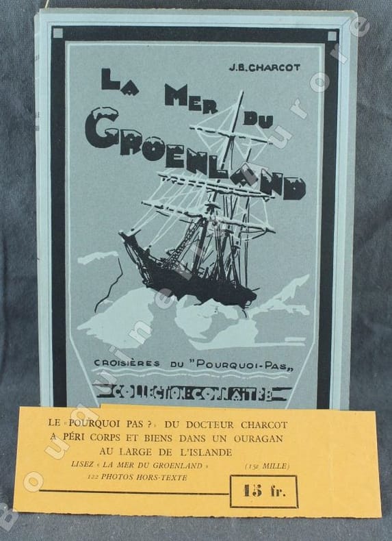
réf. 101913Bruges, Librairie de l’Oeuvre Saint-Charles 1937, 260x175mm, frontispice, XVI - 207pages, broché. Bel exemplaire.
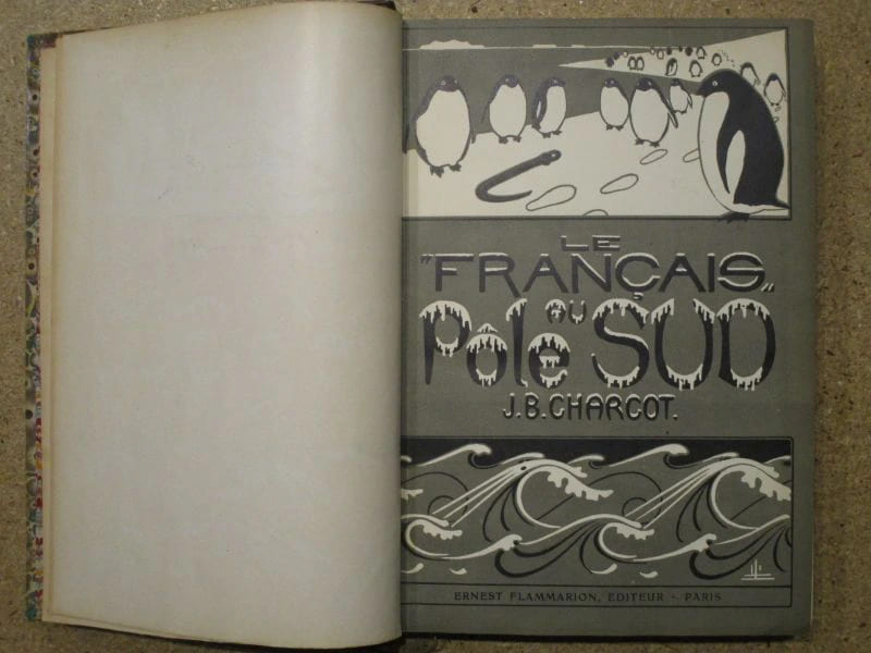
réf. 101738Paris, Ernest Flammarion 1910, 290x200mm, VII - 428pages, reliure demi-chagrin avec auteur, titre, fluerons, filets, encadrements et ornementations dorés au dos. Plats papier marbré. Tranche supérieure dorée. Coiffes supérieure usées, dos insolé et inscriptions manuscrites sur les hauts des pages de garde, autrement bel exemplaire, intérieur propre.
1906réf. 119782Flammarion 1906 Ernest Flammarion Editeur, 12 décembre 1906, XXXVIII-486 p., demi-reliure, plats d'origine conservés, environ 29x20cm, complet de la carte in fine. Des frottements d'usage sans gravité sur la reliure, dos fortement insolé, des rousseurs sur les gardes et la tranche, bon état pour le reste et intérieur bien propre.
1935réf. 141521935 Bruges, librairie de l'Oeuvre St Charles, 1935, 1 vol. grand in-8° (244 x 162 mm) broché sous couverture illustrée, de 208 pp.Très bel exemplaire.
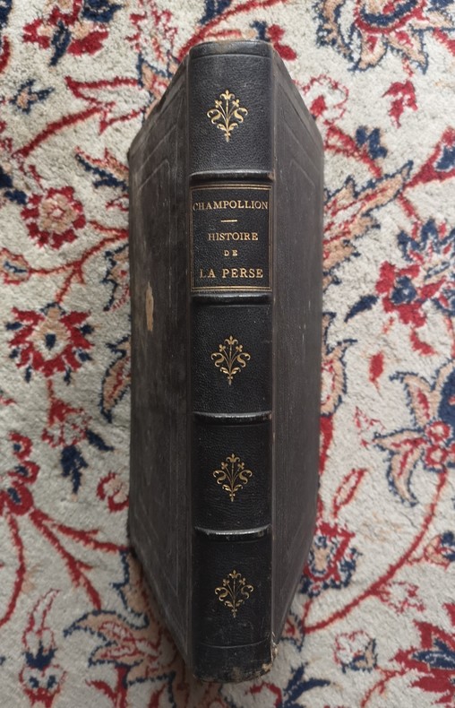
1860réf. P2-2A-6Paris, Arbaud de Vresse, 1860. In-4°, plein chagrin noir éditeur, dos à 4 nerfs, titre doré, 446pp., illustré de 5 planches couleurs, tranches dorées, coins usés, rousseurs. 446 pgs and five lithographies enhanced with colour. Original red cloth dinding with spine richly gilt in fine condition. Internally some very light spotting in text. The lithographies in good condition. Edges gilt. A very attractive copy of this book written by the brother of the discoverer of hieroglyphs.
2026réf. LRB15001194Paris: Editions Recreasoft 2026 Language: English. Approximately 716 pages. English : Print-on-demand reprint. Original edition : 1885. Detailed scientific report from the Challenger expedition one of the foundational voyages in nineteenth-century oceanographic research. The work brings together observations and analysis from the expedition's investigations at sea with enduring bibliographical and historical interest for marine science natural history and the history of exploration. Book images are non-contractual. Editions Recreasoft. Softcover. New. Editions Recreasoft paperback
réf. 1018592792.Ghardcover. Good. Access codes and supplements are not guaranteed with used items. May be an ex-library book. hardcover
réf. 1016132301.Ghardcover. Good. Access codes and supplements are not guaranteed with used items. May be an ex-library book. hardcover
réf. 1016137311.Gpaperback. Good. Access codes and supplements are not guaranteed with used items. May be an ex-library book. paperback
Hardcover in-12, 367 pages., relie demi-percaline à coins (couv. conservEe), titre dore. Tres bel exemplaire. [CA31-2]
réf. B9781017205817Hardback. New. hardcover
1956réf. 28075Leipzig, VEB F.A. Brockhaus Verlag, 1956. 242 Seiten , 21 cm, Leinen
réf. 42038Grenoble - Paris Arthaud 1949 in 8 (19x14) 1 volume broché, 230 pages [1], avec 45 heliogravures. Préface de Paul-Emile Victor. Bel exemplaire
1951réf. 18832Grenoble & Paris Arthaud 1951 broché 230 pp, trace de scotch en coiffe jaquette, sinon bon état
1999réf. 11456Hoëbeke 1999 288 pages 15x24x2cm. 1999. Broché. 288 pages.
réf. 1459Paris, Julliard, 1949 ; in-8, demi-percaline bordeau, pièce de titre, couvertures et dos conservés. 4 cartes dépliantes.
réf. DADAX0367333260New unknown
réf. 50059aafCarrère - Lorilien, 1985, gr. in-8vo, 1 planche de titre + 1 f. (lettre impr.) + 7 planches sur papier épais en couleur par Carrère. en feuilles, couverture cart. ill., avec dos en toile,
réf. 143090aafCarrère - Lorilien, 1985, gr. in-8vo, 1 planche de titre + 1 f. (lettre impr.) + 7 planches sur papier épais en couleur par Carrère. en feuilles, couverture cart. ill., avec dos en toile,
réf. 1596für einen Buchclub Stuttgart u.a, Lizenzausgabe. 328 S., geprägter OLn m. OU, farbiger Kopfschnitt. Ordentliches Exemplar. Lizenzausgabe des Erdmann Verlags, Tübingen. Good copy.
1957réf. E0551From the Spanish discovery to the opening of the Civil War 5 volumes in 6. Volume One: The Spanish Entrada to the Louisiana Purchase 1540-1804 xiv264 pages with color frontispiece map and 275 maps many folding and index; Volume Two: From Lewis and Clark to Fremont 1804-1845 xiii281 pages with colored frontispiece map 143 additional maps some folding and index. Volume Three: From the Mexican War to the Boundary Surveys 1846-1854 xiii349 pages with colored frontispiece map 322 additional maps and index; Volume Four: From the Pacific Railroad Surveys to the Onset of the Civil War 1855-1860 xiii260 pages with color frontispiece map an additional 127 maps some folding and index; Volume Five From the Civil War to the Geological Survey Part One: xviii222 pages with color frontispiece map and an additional 152 maps; Volume Five From the Civil War to the Geological Survey Part Two: 223-487 pages with 124 maps and index. Folio 14 1/2" x 10 1/2" bound in quarter green leather with gilt lettering to spines. volume I printed by the Grabhorn Press; volumes II-V printed by Taylor & Taylor and James Printing based on the designs of Edwin and Robert Grabhorn. First edition limited to 1000 copies. Carl Wheat's Mapping of the Trans-Mississippi West is a comprehensive and readable cartographic history of the American West. The first three volumes of the work are by necessity bulky and out sized to accommodate the many maps contained with their covers. These beautifully printed books present a truly graphic picture of the exploration and peopling of the vast unknown land west of the Mississippi. The author does not merely present a catalog of significant maps of each era but tells the exciting story of many facets of history that resulted in their making-of the hard journeys the hazardous exploits the motivation the mysticism the misunderstandings and the strange blend of fact imagination false geographic concept and political necessity which were consummated in the engraver's work. These volumes will provide exciting text for the casual reader and have become eminent source book for the student and scholar. Condition: A near fine set. Due to the size and/or weight of this lot extra shipping and/or handling charges may apply. Institute of Historical Cartography hardcover books
1957réf. E0551From the Spanish discovery to the opening of the Civil War 5 volumes in 6. Volume One: The Spanish Entrada to the Louisiana Purchase 1540-1804 xiv264 pages with color frontispiece map and 275 maps many folding and index; Volume Two: From Lewis and Clark to Fremont 1804-1845 xiii281 pages with colored frontispiece map 143 additional maps some folding and index. Volume Three: From the Mexican War to the Boundary Surveys 1846-1854 xiii349 pages with colored frontispiece map 322 additional maps and index; Volume Four: From the Pacific Railroad Surveys to the Onset of the Civil War 1855-1860 xiii260 pages with color frontispiece map an additional 127 maps some folding and index; Volume Five From the Civil War to the Geological Survey Part One: xviii222 pages with color frontispiece map and an additional 152 maps; Volume Five From the Civil War to the Geological Survey Part Two: 223-487 pages with 124 maps and index. Folio 14 1/2" x 10 1/2" bound in quarter green leather with gilt lettering to spines. volume I printed by the Grabhorn Press; volumes II-V printed by Taylor & Taylor and James Printing based on the designs of Edwin and Robert Grabhorn. First edition limited to 1000 copies. Carl Wheat's Mapping of the Trans-Mississippi West is a comprehensive and readable cartographic history of the American West. The first three volumes of the work are by necessity bulky and out sized to accommodate the many maps contained with their covers. These beautifully printed books present a truly graphic picture of the exploration and peopling of the vast unknown land west of the Mississippi. The author does not merely present a catalog of significant maps of each era but tells the exciting story of many facets of history that resulted in their making-of the hard journeys the hazardous exploits the motivation the mysticism the misunderstandings and the strange blend of fact imagination false geographic concept and political necessity which were consummated in the engraver's work. These volumes will provide exciting text for the casual reader and have become eminent source book for the student and scholar. Condition: A near fine set. Due to the size and/or weight of this lot extra shipping and/or handling charges may apply. Institute of Historical Cartography hardcover