Laisney GeorgesLivre Rare Book

2 149 résultats
1937réf. 100116445Maugard 1937 in4. 1937. Broché.
1826réf. P2-6A-5Paris, Delaforest, Arthhus Bertrand, 1826. In-8 (215x130mm), relié demi-basane, tranches rouge, cachet de bibliothèque. IXV-432pp, illustré d’une carte reliée et 8 lithographies. Bon état. Edition originale. LAING fut le premier Européen à atteindre Tombouctou.
1914réf. 100086058Vromant & cie 1914 in8. 1914. Broché. illustrations en noir et blanc
1943réf. cr1243Les Publications techniques Relié 1943 In-8 (16 x 22 cm), relié demi-toile verte, dos lisse avec pièce de titre doré, 213 pages, une carte en noir en frontispice, illustrations en couleurs hors-texte ; rousseurs éparses, par ailleurs intérieur fais, bon état. Livraison a domicile (La Poste) ou en Mondial Relay sur simple demande.
1924réf. 100153668Duckworth and Co 1924 in8. 1924. Cartonné.
réf. P1-4D-5Paris, Firmin Didot), 1839. In-folio (34x26cm), titre, table, 32 cartes et plans dont 6 doubles pages, certains contours coloriés par Bory de St Viencent. Relié demi-basane, manque au dos, coins émoussés, plats frotté. ATLAS seul, sans le texte.
17514to [25 x 20 cm]; [ii], xxxvi, 280, xv (index) pp, 7 engraved maps, plans and plates including 6 folding, one being fldg table, engraved vignette head-pieces and tail-pieces. contemporary full leather, gilt spine title & design, raised bands, light cover wear, few tiny holes on front joint,marbled endpapers, endpaper labels of Le Chev du Blaisel & B. Mendel, few leaves with light marginal browning, else clean crisp, near fine. This is the first edition of the account of the great French Scientific Expedition to South America to measure an arc of the meridian at the equator to determine the dimension and shape of the earth. After the scientific measurements done north of the city of Quito in Ecuador, La Condamine then journeyed down the Amazon, being the first to explore that region. His measurements stood the test of time until the advent of GPS showed that the actual equator was somewhat further south, although the original monument and museums north of Quito still advertise themselves as the actual equator. The work includes a detailed plan of the city of Quito and a large map of what is now Ecuador. Hill 169: 'the greatest geographical event of the eighteenth century as regards South America. . . to measure one exact degree of meridian to determine the dimensions and shape of the earth. . . the work occupied eight years'. Sabin 38479. Norman 1250.
2009réf. 100057073Le Cherche Midi 2009 294 pages 14x21x3cm. 2009. Broché. 294 pages.
1886réf. 271618Hachette et cie 1886 300 pages in12. 1886. Relié. 300 pages.
1955réf. 100071716Presses universitaires de france 1955 in8. 1955. Broché.
2010réf. 100047938Gallimard jeunesse 2010 208 pages 13x20x1cm. 2010. Broché. 208 pages.
1919réf. 16032Jena, Fischer, 1919. 4°. VI, S. 648-946 Seiten. Halbleinwand mit Deckeltitel (etwas fleckig u. berieben).
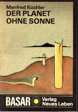
1989réf. 18692Berlin: Verlag Neues Leben, 1989. 202 Seiten , 20 cm kart.,
2004réf. 172185Saphira 2004 210 pages in12. 2004. Broché jaquette. 210 pages.
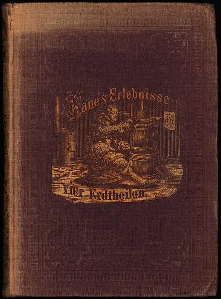
1861réf. 3636FBLeipzig, Otto Spamer Verlag, 1861. 8°. 20 x 14,5 cm. VIII, 300 Seiten. Original-Leinenband mit reicher Blind- und Goldprägung und marmoriertem Rundumschnitt. [2 Warenabbildungen] (= Neue Jugend- und Hausbibliothek, Zweite Serie, Band 6).
in-8°, 248 pages, ill. hors texte N&B, broche, couverture illustree plast. Bel exemplaire. [GE-2] Les aventures et mésaventures de l’expédition polaire de R. Plaisted, 28 mars-4 mai 1967.
1953réf. 100112192Éditions jeheber 1953 in8. 1953. Relié.
1969réf. 100067447Stock 1969 in8. 1969. Broché.
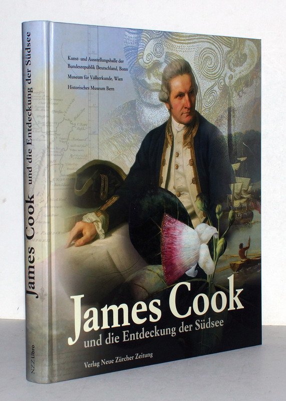
2009réf. WKP0049-0503Zürich, Verlag Neue Zürcher Zeitung, 2009. Quart, illustr. Org.-Hardcover. 276 S., mit zahlreichen meist farbigen Illustrationen, wohlerhaltenes Exemplar. ISBN 97833038235842
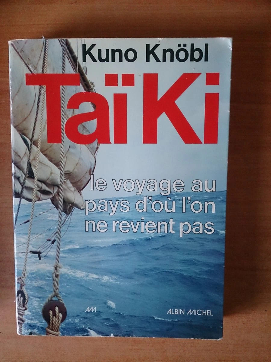
réf. 50907Albin Michel 1975 livre récit 24*17 245 pages
1950réf. 79881950 cartonné in-octavo, dos rouge, premier plat orné d'une illustration photographique en noir, illustrations : in et hors-texte, 127 pages, sans date (les années 1930-40 environ) à Paris Tours Maison Mame,
1940réf. 8106Tours Mame 1940 -in-8 cartonné cartonné in-octavo, dos rouge, premier plat orné d'une illustration photographique en noir, illustrations photographiques in et hors-texte, 127 pages, 1940 à Tours Maison Mame,
1951réf. 262503Alsatia 1951 in8. 1951. Broché.
1990réf. 122212Motorbuch Verlag. Stuttgart 1. Auflage 1990. 333 Seiten. Mit zahlreichen teils farbigen Abbildungen. Farbig ill. OKart.-Einband. 25x17 cm
réf. 215303Paris, Berlandier, 1839 2 vol. in-8, 382 pp., 1 feuillet d'errata et 384 pp., bradel demi-veau caramel, dos orné (reliure postérieure). Rousseurs.