387 résultats
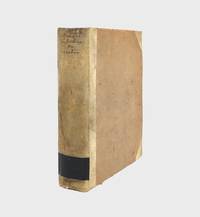
1772réf. 376213Copenhagen: Nicolaus Moeller 1772. First edition. Engraved vignettes to title page and dedication. With 24 engraved plates some folding including two Kufic facsimiles with hand-colored diacritical marks and initials; and a large folding map of Yemen colored in outline. Genealogical table folding at p. 194. xlvii 3 431 1 errata pp. 1 vols. 4to. Contemporary quarter vellum spine titled in manuscript. Early owner signature of Andreas Narr struck out by Henricus Walther 1829. Spine soiled with old library label blind stamps to bottom of first and last leaves a clean and fresh copy. Very good plus. First edition. Engraved vignettes to title page and dedication. With 24 engraved plates some folding including two Kufic facsimiles with hand-colored diacritical marks and initials; and a large folding map of Yemen colored in outline. Genealogical table folding at p. 194. xlvii 3 431 1 errata pp. 1 vols. 4to. Attractive copy of the first publication of Niebuhr's six-year travels in Arabia Felix modern Yemen and vicinity a key work of the European exploration of Arabia. Engelmann I 127; Embacher 217; Cox I237; Henze III 611; Graesse IV 674; Gay 3589; Ibrahim-Hilmy II 66; Howgego I N24. Provenance: General Theological Seminary Nicolaus Moeller unknown books
1870réf. 146911870. Set of two large vintage albumen prints in sepia tone depicting life in the desert landscape of Aden c. 1870 now Yemen. Both photos depict the rugged landscape and village life typical in this region of the Arabian Penninsula. The first image foreground presents Arab men gathering with their camels around a well in the foreground while a carriage and horse wait at a bridge in the background. The reservoir of Attawila which dominates the image had been designed in medieval times to capture rain water during flash floods for drinking; while the resevoir fell out of use in the 16th century the British colonial forces who occupied and ruled Yemen revived their function in the 19th century. Today the monuments draw tourist attention. The second image shows travelers in motion on a dirt road leading to the city walls set between the precipices of Aden. Defensive ramparts traverse the mountain top. The first image measures approximately 8"x11" and is mounted on a photographer's matt with labels " Aden B.F.R. Rives." The second image measures approximately 7"x10" mounted on blue photographer's matt with label "Aden.- Route conduisant a la ville arabe d' Aden.-" Both overall in very good condition. unknown books
1997réf. 271959Paris: Flammarion 1997. hardcover. near fine/very good. Extensively illustrated with color photographs. 239 pages with text in French. 4to gray boards d.w.; minor edgewear and fading to top margin of dust wrapper. Paris: Flammarion 1997. A near fine copy in a very good dust wrapper. Instiut du Monde Arab Flammarion unknown books
1993réf. 15469Nürnberg : Ed. Erde im BW-Verl., 1993. 385 S. : zahlr. Ill., Kt. 8°. 1. Aufl. Orig. engl. Broschur. (Edition-Erde-Reiseführer)
1936réf. 1760Berlin, Büchergilde Gutenberg BGG, 1936. 1. Aufl. mit 146 Abb. auf 96 Taf. + 1 Karte. ill. OLn., 80 S., Gr.8°
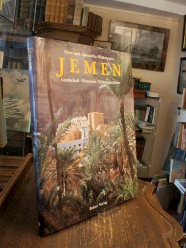
1994réf. 39673ABStuttgart-Zürich, Belser Verlag, 1994. 4° (32x24), 128 S., mit zahlr. fotograf Aufnahmen, Übersichtskarte, OPbd mit fotoill OU, DiplomatenStempel auf Vorsatz, sonst nahezu ungelesen, fest sauber und gepflegt,
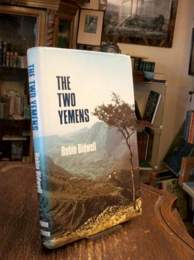
1983réf. 39151ABHarlow, Longman / Boulder, Westview Press, 1983. 8° (22x14), xvii, 350 p., 2 maps, publisher's hardbound with photo jacket, sl rubbed, tight and clean, well cared,
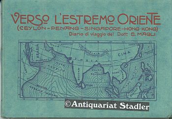
1925réf. 32275Bologna 1925. Mit zahlr. s/w. Abb. u. Karten i. Text. XI, 197 S., 1 Bl. OKart. 11x15 cm Querformat.
1982réf. 24403Cambridge, Mass.; London, MIT Press, 1982. 292 S. : zahlr. Ill., 1 Errata-Bl. 4°, OLwd., OSu.
1970réf. 1244690(Aden; ca. 1970). priv. Kopie; 240 S.; Karten; Tab.; Illustr.; 21,5 cm; rückengoldgepr. Leinenband.
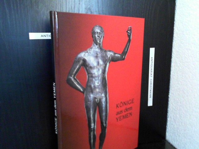
1983réf. 16440Mainz : Verl. d. Röm. German. Zentralmuseums 1983. 31 S. : zahlr. Abbildungen. (z.T. farb.) ; 31 cm + Beil. (20 S. : 20 Ill. u. Kt.) Pp., gebundene Ausgabe, Hardcover/Pappeinband, Exemplar in gutem Erhaltungszustand
2004réf. 1222166(CEFAS; Sanaa), (2003 / 2004). Ca. 250 Seiten; A4-Kopien; 30 cm; rückengoldgepr. Leinenband.
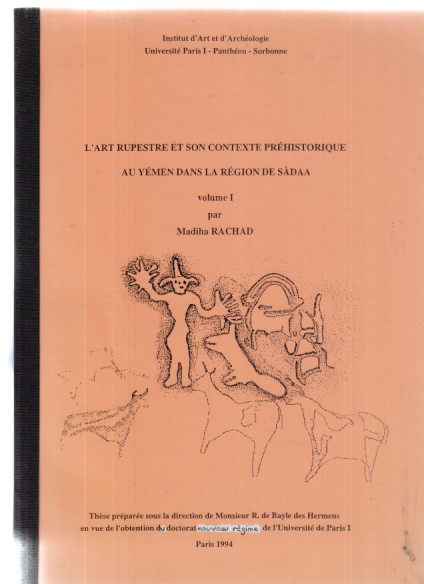
1994réf. 1221790Paris, 1994. 140 Seiten; A4; Tabellen; graph. Darst.; Kt.; 30 cm; kart.
1740réf. A131-2661Amsterdam / Venezia, Tirion / Giovanni Battista Albrizzi, c. 1740. Landkarte, Kupferstich, koloriert, 27 x 33 cm / Map, copperplate engraving, coloured, 27 x 33 cm
1952réf. Y1357Mainz, Verlag der Wissenschaften und der Literatur, 1952. Kartoniert, 8°, 166 S., Mit 19 Abbildungen im Text, 12 Tafeln, einer einfarbigen und einer zweifarbigen Karte, Nr. 4 der »Geistes- und sozialwissenschaftlichen Klasse«
1990réf. 7479Wien, Akademie, 1990. 246 S. 41 Abb. auf Tafeln. Gr.-8°. OKart. (Beschabt, etw. bestoßen).
1992réf. Tg0464Köln : Edition Anatol, 1992. 106 S., zahlr. Fotografien von Lilo Börner, Literaturhinweise. Großformat, Broschur.
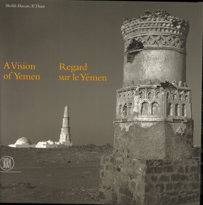
2007réf. 35850Milano, Skira Editore, 2007. With many pictures. 200 S. 29 x 29 cm, Pp. Used, but good condition. / Leichte Gebrauchsspuren, sonst gut erhalten.
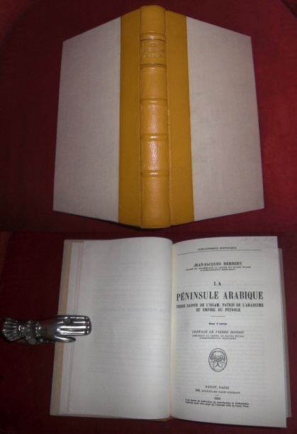
1958réf. 013566Payot, Paris 1958. 1ère Edition Leinen, Leder Tadellos
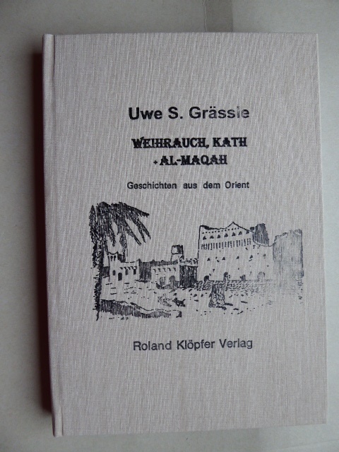
réf. 141043Roland Klöpfer Verlag 1.Auflage 2016. 227 Seiten. Mit zahlreichen teils farbigen Abbildungen. Illustrierter Original-Leinwand-Einband. (Geringe Gebrauchsspuren). 21x15 cm
1992réf. 52791Zürich, Manesse Verlag, 1992, Auflage: 1. Leinen, gebunden; blauer Einband mit Rückengoldprägung, Farbkopfschnitt, Lesebändchen, mit farbig illustriertem Schutzumschlag / Anz. Seiten: 201 / 10 x 15,5 cm / mit 11 farbigen Miniaturen und dem Umschlagsbild: "Warqa und Gulschah unter einer Zypresse", aus einer Handschrift aus dem 12. Jahrhundert (Topkapi-Museum, Istanbul) / Zustand: schönes Exemplar; Schutzumschlag leicht berieben
1772réf. 376213Copenhagen: Nicolaus Moeller 1772. First edition. Engraved vignettes to title page and dedication. With 24 engraved plates some folding including two Kufic facsimiles with hand-colored diacritical marks and initials; and a large folding map of Yemen colored in outline. Genealogical table folding at p. 194. xlvii 3 431 1 errata pp. 1 vols. 4to. Contemporary quarter vellum spine titled in manuscript. Early owner signature of Andreas Narr struck out by Henricus Walther 1829. Spine soiled with old library label blind stamps to bottom of first and last leaves a clean and fresh copy. Very good plus. First edition. Engraved vignettes to title page and dedication. With 24 engraved plates some folding including two Kufic facsimiles with hand-colored diacritical marks and initials; and a large folding map of Yemen colored in outline. Genealogical table folding at p. 194. xlvii 3 431 1 errata pp. 1 vols. 4to. Attractive copy of the first publication of Niebuhr's six-year travels in Arabia Felix modern Yemen and vicinity a key work of the European exploration of Arabia. Engelmann I 127; Embacher 217; Cox I237; Henze III 611; Graesse IV 674; Gay 3589; Ibrahim-Hilmy II 66; Howgego I N24. Provenance: General Theological Seminary Nicolaus Moeller unknown
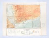
1930réf. 182334London: Geographical Section General Staff War Office 1930. Later impression overprinted with a Cassini grid in 1930 following the first edition of 1926. This map of the Aden Protectorate and its neighbours was produced for the International Map of the World a project that aimed to create a complete world map at a 1:1000000 scale. It covers South Yemen and the Hadhramaut as well as the tip of French Somaliland. The International Map of the World or the Millionth Map of the World was first proposed by German geographer Albrecht Penck in 1891. The project was adopted by ten countries in 1909 who agreed to follow consistent rules and standards for mapping their own territories. While countries like the US and UK made strides at first "production was slow in the earlier years since it was first necessary to complete basic surveys for the required data and during and after World War II there was little interest in pursuing the project" Ency. Brit. Colour lithograph map 648 x 856 mm linen-backed perhaps not as issued key printed on recto; text in English and French. A little foxed dust-soiling slight wear and a few small holes along fold lines: a very good copy. unknown
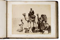
1889réf. ABC_49512Yemen Egypt and other places 1889. Contemporary burgundy/auburn gold- and blindstamped calf lozenge-patterned blindstamping. Re-backed with the original back strip laid down. Gold-stamped turn-ins white watered silk endpapers gilt edges. Oblong folio 37.8 x 28 cm. An album containing 25 albumen prints ca. 20 x 27 cm including 1 double page mounted on thick card leaves many captioned in English. Photographic record of a journey begun in Australia and taken via Aden through the Suez canal and to the Mediterranean and then on to England. While the first image shows the steamship R.M.S. Ormuz in the port of Sydney three images including a double-page spread show the port of Aden in Yemen the famous water tanks and a native of the Southern Arabian region in a studio portrait. The majority of the album is dedicated to Egypt showing Arabs on their camels the Khedive's Ismailia Palace the Suez Canal Port Said and members the local population as well as the famous pyramids. The last few photographs show the final leg of the journey Naples and ultimately Gibraltar. Among the studios identified in the photographs are those of Hippolyte Arnoux and the Zangaki brothers based at Port Said.With a near-contemporary manuscript inscription in blue ink on the verso of the first flyleaf: "Edith Elkington or Elrington Aunt Ediths voyage home - to England about 1889". Foxed throughout slightly water stained but the prints are largely clean and clear some paper repairs in the margins the last flyleaf is lacking the final leaf is nearly detached. unknown
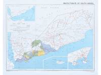
1964réf. 182178Surrey: Directorate of Overseas Surveys 1964. Later edition printed in the second year of the protectorate. In addition to showing the states of Kathiri Mahra and Qu'aiti it also highlights the members of the Federation of South Arabia in colour and features three inset maps which show the entire region the island of Socotra and the State of Aden. The Directorate of Overseas Surveys was established in 1946 with responsibility for surveying parts of the British Empire that did not have the resources to otherwise map themselves. "The Directorate was charged with two key tasks. It was to provide national geodetic frameworks throughout the British Empire that would contribute to understanding the size and shape of the earth and constitute the basis for accurate mapping. It would also produce mapping using modern methods based on aerial photography. This would in turn help to inform the development and administration of each country" Natural Collection of Aerial Photography. This copy is the fourth edition. Colour map 324 x 406 mm printed on recto only key on recto. Map bright a little bowed sometime folded with a vertical crease at centre slightly creased at edges: a very good copy. National Collection of Aerial Photography "Directorate of Overseas Surveys". unknown