[PALESTINE] [ISRAEL].Biblio.com
3 761 résultats
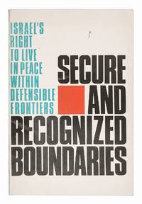
réf. 66680Jerusalem: Carta 1971. FIRST EDITION. 8vo. 22.5 x 15 cm. pp. 48. Original wrappers with map on back cover highlighting Israel and the Arab nations involved in the Six-Day War. 15 colour maps of Israel showing the movement of its borders over the centuries including a map of armistice lines from 1949 - 1967 printed on translucent paper; 11 maps showing land cessation in Europe. Some light wear to wrappers; internally clean and fresh. Very good overall. A cartographic argument for Israel's right to modify and secure its borders. In the first part maps of the Levant from antiquity to recent history are used to justify changes to Israel's boundaries and in the second part recent examples are given of the peaceful cessation of land between European nations arguing that the same peaceful expansion could be used in the case of Israel. Jerusalem: Carta, 1971. unknown
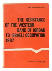
réf. 66681Beirut: The Institute for Palestine Studies 1967. FIRST EDITION. 8vo. 23 x 16.5 cm. pp. 104. Publisher's orange wrappers. Spine and corners rubbed light marking to covers fading to front cover and spine; internally clean. A very good copy. The second publication in the Institute for Palestine Study's 'Basic Documents Series'. This is a collection of thirty-seven documents regarding Arab opposition to the occupation of the West Bank from July to November 1967. It mostly consists of statements and memoranda written by Arabs against the Israeli annexation of the West Bank and Jerusalem following the Six-Day war in 1967. Beirut: The Institute for Palestine Studies, 1967. unknown
réf. 25271. Coin Collection from Israel approx 50 mounted on card inc. Special Issues. Comes complete with a copy of Bertram - Catalogue of Israel's Coins and Currency. 1968. G. . unknown
réf. DADAX0231152892New unknown
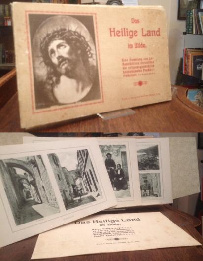
1910réf. 40810ABIsny, Verlag von Gebrüder Mader, o.J. [um 1910]. gr8°quer (24x15), 24 Tafeln mit 47 fotograf Aufnahmen in Tiefdruck, dazu 8 seitige Textbeilage 'Kurze Erläuterungen', Flügelmappe mit mont Deckelbild und TitelPräg, Mappe etwas berieben, angestaubt, Textbeilage äusserlich ebenfalls angestaubt, die Tafeln sauber und gut,
réf. 228857[Vienne], Imprimerie des Pères Méchitaristes, 1846 in-8, 34 pp., [4] ff. n. ch., broché sous couverture imprimée. Forte mouillure claire sur tout le fascicule.
1864réf. 852661864 Paris, Putois-Cretté, 1864, 2 volumes in 12 reliés demi-chagrin rouge, dos très ornés, tranches dorées, XXXV-283 et 373 pages.
réf. 117052Album N° 3 - Collection "La Vie et la Joie au Catéchisme" - 1936 - J. de Gigord, Editeur, Paris - Imprimerie auxiliaire. 79, rue Daguerre, Paris - Grand in-8 à l'italienne - couverture illustrée - Nombreuses illustrations dans l'ouvrage - 24 pages (non paginé)
1878Carta geografica in litografia, antica ed originale del 1878, di mm 240x340 (il foglio) con coloritura confinale coeva. Stampata dalla calco-litografia di B. Marchisio & Figli ed inserita nell'opera a cura del Cavaliere Celestino Peroglio raffigurante la Palestina
1878Carta geografica in litografia, antica ed originale del 1878, di mm 240x340 (il foglio) con coloritura confinale coeva. Stampata dalla calco-litografia di B. Marchisio & Figli ed inserita nell'opera a cura del Cavaliere Celestino Peroglio raffigurante la Palestina prima dell'esilio
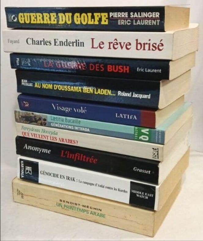
réf. 100135518Albin Michel / Plon / Fayard 510 pages in8. Sans date. Broché. 10 volume(s). 510 pages. 10 livres sur le moyen-orient géopolitique: Guerre du Golfe : le dossier secret (salinger) + Le Rêve brisé : Histoire de l'échec du processus de paix au Proche-Orient (1995-2002) (enderlin) + La guerre des Bush : Les secrets inavouables d'un conflit (laurent eric) + Au nom d'Oussama Ben Laden... (jacquard roland) + L'infiltree (anonyme) + Visage Vole - Avoir Vingt Ans a Kaboul (latifa) + Génération Intifada (Bucaille) + Que veulent les arabes ? (fereydoun hoveyda) + Génocide en Irak : La Campagne d'Anfal contre les Kurdes (middle east watch) + Un printemps arabe (Benoist-Méchin)
réf. 16091A Paris, chez la veuve Knapen, 1740, 1 pleine basane, manque au dos, coins émoussés, coiffes manquantes, plats frottés, reliure à restaurer. 1 volume in-8, f.t., titre, XII-516-XXVI pp. + 1 carte dépliante gravée, entourée de petites gravures ;
réf. 665492Grenoble, Prudhomme, 1869 in-8, 71 pp., broché, couv. muette. Annotations en dernière page.
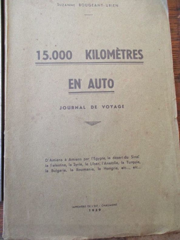
1939réf. 54541939 Imprimerie de l'Est Chaumont 1939 In8 broché 128 pages
1860réf. 109582Tours Alfred Mame 1860 1 vol. relié in-8, demi-chagrin vert, dos à faux nerfs, caissons encadrés de motifs et filets dorés, plats encadrés à froid, tranches dorées, 508 pp., nombreuses gravures in et hors-texte. Bel exemplaire, très frais.
1860réf. 109582Tours Alfred Mame 1860 1 vol. relié in-8, demi-chagrin vert, dos à faux nerfs, caissons encadrés de motifs et filets dorés, plats encadrés à froid, tranches dorées, 508 pp., nombreuses gravures in et hors-texte. Bel exemplaire, très frais.
1890réf. PHO-864Paris, Librairie de Firmin-Didot et Cie, 1890. In-8, demi percaline rouge à coins, tranches dorées, 191-[1] pp., illustré de 24 gravures dont un portrait en frontispice. Table des matières : - Années de jeunesse. - Campagne de Chine. - Séjour à Gravesend. -Dans la province de l'Équateur. - Au Soudan. - Inde, Chine, Irlande, Palestine, Cap de Bonne Espérance. - Khartoum. - Derniers jours. Petit défaut de papier sur un plat.
1858Octavo. Pp. viii, 541. Plus engraved frontispiece map. Footnotes, appendix. Hardcover, contemporary half cloth and marbled boards, spine gilt with a Shelf label at foot, all edges marbled. In fine condition (old institutional stamp and label). A fine, crisp copy. ~ First edition.
1905réf. R117282Jerusalem/ Rousselare, Drukkerij der PP. Franciskanen/ Jules De Meester 1905 vi + 151pp., geïllustreerd, 23cm., gecart. band (gemarbreerde platten, zwartlinnen rug), goede staat, R117282
réf. 652In 12 broché,couverture imprmée.Faux-titre,titre,XII,152 pages.3 cartes dépliantes en fin de volume.Régions et des lieux dont il est parlé dans le nouveau testament,carte de la Palestine selon le partage des tribus.Carte de la Palestine depuis la captivité de Babylone jusqu’à la dernière guerre des juifs.Derivaux éditeur 1840.Starsbourg petits raccommodages.Rousseurs éparses habituelles
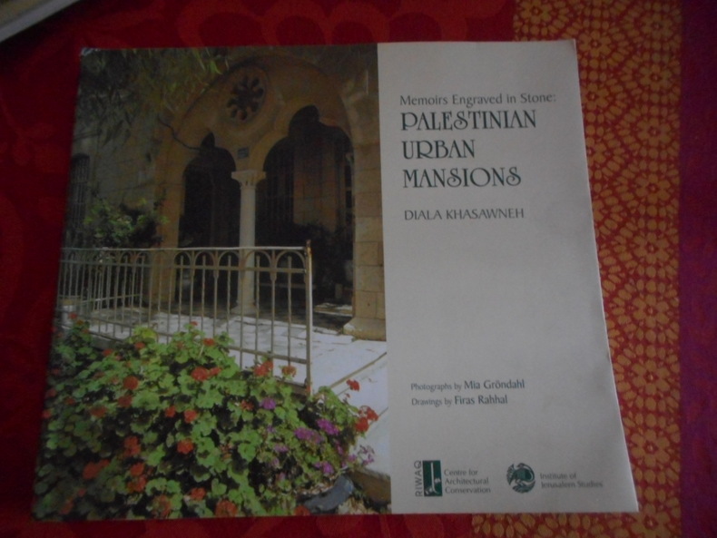
2001réf. 49500Riwaq, 2001. Format 27x24 cm, 157 pages. Ouvrage en langue anglaise. Très bon état.
1881réf. R103074Liège, Grandmont-Donders s.d. [ca. 1881] 311pp., 5e édition, 23cm., reliure cart., dos en cuir noir avec titre doré, feuilles de garde marbrées, texte frais, bon état, R103074
1881311pp., 5e édition, 23cm., reliure cart., dos en cuir noir avec titre doré, feuilles de garde marbrées, texte frais, bon état, R103074
19048vo. Pp. Xl, 356. Plus folding coloured lithographed map bound at rear. With numerous words in Hebrew in the text. Extended bibliography, footnotes, index. Hardcover, half cloth and marbled boards with original cover and spine laid down. Very good condition. (Minor marginal marking to the bibliography section, one leaf with minor marginal ink stain, small clean tear to fold of map; spine bit rubbed.) ~ First edition. The beautiful map of Palestine is printed in black, blue, and light orange. It includes a 1:20,000 scale insert of Jerusalem with a legend, and two 1:400,000 scale inserts, one of the Judean Highland, the second of the region between Nazareth and Tiberias.
réf. 136520Helsinki, Helsingfors, 1938 gr. in-8, 199 pp., nbses ill. et cartes hors texte, percaline violine, couv. cons. (rel. de l'éditeur).