JAMES WILLIAM.Livre Rare Book

3 434 résultats
1837réf. P2-2BLondon, Richard Bentley, 1837. 6 Volumes in-8° (213x133), percaline bleue éditeur, 404, 396, 376, 375 et 567 pp. Illustré de 24 portraits H.T et 27 plans dépliants, 38 plans de batailles dans le texte, dos un peu passés. Meilleure histoire navale de la fin du 18ème à la bataille de Navarin. 6 volumes, octavo (213x133mm), full contemporary cloth. 24 portraits, 38 battle-plans in the text, 28 folding tables. Spines a little sunned, mild shelf-wear, light toning, else a sound and handsome set. A “monument of accuracy – it has stood the test of time and remains the best account of the naval side of the Revolutionary and Napoleonic Wars. First conceived of when he was held prisoner in America during the War of 1812 the Naval History is a remarkable work. Working under the motto “Vérité sans peur” James set himself standards of inclusiveness and accuracy extraordinary for the 19th century. His aim was to compile “…an exact account of every operation of naval war during the period named.”
1679réf. PHO-2525A Paris, Chez Louis Billaine, 1679. In-4° ; 5ff.-1 carte h.-t.-repl.-327 pp.-218 pp.-144 pp.-12ff., veau époque, dos à nerfs orné avec titre. Manque au dos et charnières, coins usé, travail de ver sur les 17 premiers et 30 derniers feuillets, petite mouillure angulaire, titre bruni, feuillet « Au lecteur » déchiré sans manque, brunissures. L’une des meilleures descriptions des Maldives et une importante description de Goa.
1686réf. PHO-2093Paris, Arnould Seneuze, Daniel Horthemels, 1686, in-4 (24,5x19cm): 16ff.-424pp. 8ff., illustré de 20 planches dont certaines à double pages, gravées par Cornelis Vermeulen, d'après les dessins de P. Sevin, relié plein veau chiné, dos à nerfs orné avec titre, frottements, manques en tête et coiffe arasée, 1 coin usé, mouillure en coin sur une quinzaine de feuillets, une planche détachée, quelques brunissures et rousseurs.
1892Very Good English, Middle (1100-1500) Original imitation vellum. An OCLC register says "decorated with small shells and seaweed pasted on". Chipped on extremities and spine, slight pouring on paper; several tapes used at the link of the pages to binding. Otherwise a good copy. Small 4to. (27 x 18 cm). In Middle English (15th century). The first leaf attached to front cover. At end, 6 blank leaves. [46] p. with [7] blank pages, many illustrations, 1 letter with its broken seal. Separately, a facsimile of a letter from Isabella (Dona Isabel por Gracia de Dios Reina de Castilla y Leon etc. etc. A Don Cristobal Colon de Genova) to Columbus, dated 'Granada a? trece de Abril de MCCCCXCII,' with a broken seal attached. Script on vellum as well. Two registers in OCLC (1029665801 and 60764823 -This one is New York Edition-). 'Düsseldorf Edition' says "A spurious work purporting to be the logbook of Christopher Columbus, which, according to legend, he threw into the sea during a storm, and which was found on the coast of Pembrokeshire 400 years later. Written in antiquated English, with paper and binding made to imitate in color and appearance a volume damaged by exposure to seawater. "S.A.S.X. MY XPO FERENS" from cover, variously interpreted, eg. Supples servus altissimi Salvatoris Xristi Mariae Josephi Xpoferens. Forgery attributed to Karl Maria Seyppel. Printed by lithographic process on imitation parchment paper. Text and illustrations printed to appear handwritten, with many decorated initials. Accompanied by: reproduction of a letter purported to be by the finder of the logbook dated "September forth 1890"; "Don~a Isabel por gracia de Dios Reina do Castilla y Leon, etc., etc. a? Don Cristo?bal Colon de Ge?nova," supposed letter on imitation parchment, authorizing his voyage, dated "Granada, a? trece de abril de mccccxcij," with an attached seal, laid in.". This is a fine hoax on Colombus' first travel into America. It includes a map containing Cuba, San Salvador, and unknown areas with a hand drawing of Columbus as well as other illustrations and decorative borders, etc. This Edition may be printed in memory of the 400th year of '1492'. "Columbus's log of the first voyage has not survived, although we do have an abstract of it, written in the 1530s by Bartolome de las Casas. However, that actually used the "Barcelona Copy" of Columbus's original log. The chart above shows the sources that exist today in green, and sources that have disappeared in red. The chart also shows where secondary souses got their original information. When he returned to Spain in 1493, Columbus gave his original log to the Sovereigns at the royal court in Barcelona. Queen Isabela ordered the log to be copied, resulting in the so-called Barcelona Copy. The original has not been seen since, however, the Barcelona Copy was returned to Columbus just before his second voyage later that year, and remained in his possession until his death in 1506. It then passed into the hands of son Fernando, who used it when he wrote a biography of Columbus in 1538. The Barcelona Copy too was lost sometime after 1554. Sometime around 1530, the Barcelona Copy was abstracted by Las Casas into the Diario. This abstract as part of his research that led to his massive work, the Historia de las Indias. So The Diario remains our best historical record of the first voyage of Columbus. On the westward passage, Columbus kept two sets of distance figures in the log. According to Las Casas, this was done to allay the fears of the crew that they had sailed too far from Spain. The abstract is mostly written in the third person, but there are a number of large direct quotes from the log written in Columbus's own first-person.". (Source: Christopher-Columbus Europe website).
Engraved map with contemporary hand-colouring, (1010 x 660 mm), divided into 25 sections and laid on linen, scale approximately 12 miles to the inch, occasional minor handling and age marks but overall in good condition, in restored orig. slip-case, orig. gold printed label on upper cover. A colour coded key provides information on 26 types of rock, with two horizontal sections beneath the map showing rocks and soils from Lands End to the German Ocean along an east-west line and a line north-south from St. Georges Channel to the English Channel.
1757réf. 21280Paris H.-L. Guérin et L.-F. Delatour 1757 -in-4 plein-veau un volume, reliure de l'époque plein veau blond raciné in-quarto (binding full calfskin in-4), dos à nerfs (spine with raised bands), décoré "or" et à froid (gilt and blind stamping decoration), à filets "or" (gilt line) et filets à froid (blind-stamping line decoration), entre-nerfs à fleuron au fer plein "or" (floweret with full blocking stamp) dans un encadrement à double filets "or" avec fleurons fleurettes aux angles, titre frappé or (gilt title), pièce de titre sur fond bordeaux avec double filets "or" en encadrement, roulette "or" en pace des nerfs avec un filet à froid de part et d'autre des nerfs, coiffe de tête avec ancienne restauration (propre), mors avec restauration ancienne sur 4 cm en haut de la première de couverture mais reliure trés solide, dos trés légèrement frotté, plats décorés à froid d'un double filet à froid en encadrement, coins écornés, double filets "or" sur les coupes (fillets on the cuts) avec légers manques de dorure (blurred gilding), toutes tranches jaspées (all marbled edges) rouges (red edges), etiquette ex-libris gravée en noir aux "Armes" d'un Marquis "au lion naissant d'une forest de sinople" + tampon ex-libris encre noire de franc-maçon, titre imprimé en rouge et noir, orné de 15 planches dépliantes hors-texte gravées sur bois en noir et orné de bandeaux tête de chapitre historiés et de culs-de-lampe (illuminated of tailpieces) gravés sur Bois (engraving-wood) en noir, XXX + 520 pages, 1757 Paris : H.-L. Guérin et L.-F. Delatour Editeur,
réf. 240355Paris, 1821 - 1822 29 pièces en un vol. in-8, demi-basane blonde, dos lisse orné de guirlandes dorées, pièces de titre cerise et bouteille, coins en vélin, tranches citron mouchetées de rouge (reliure de l'époque). Accrocs aux coiffes, deux charnières entièrement fendues.
1766réf. 4574Avignon, Chez la Veuve Girard, Imprimeur-Libraire, 1766. 1766 1 vol. in-8° (201 x 130 mm) de : [2] ff. (f.t., t.) ; xx ; 366 pp. ; [1] ff., 35 pp. de tables ; [1] pp. ; 8 planches gravées dépl. in fine. Pleine basane mouchetée d'époque, filet doré encadrant les plats avec fleurons aux angles, dos lisse orné de motifs floraux et titre dorés, tranches rouges, roulette sur les coupes, gardes de papier marbré.
1819réf. 5237Zum Gebrauch für Navigationsschulen auch zum Selbstunterricht angehender Steuerleute. Mit einer vollständigen Sammlung der unentbehrlichsten Seemannstafeln nebst 15 Kupfern und zwey Seecharten. Verfaßt von der Hamburgischen Gesellschaft zur Verbreitung der mathematischen Kenntnisse. 2 Teile in 1 Bd. Mit 15 gefalt. gest. Tafeln (2 von J. L. Semmelrahn nach E. W. Schuback) u. 2 gefalt. gest. Karten von J. T. Hagemann nach E. W. Schuback. Hamburg, Perthes und Besser. Gedruckt bey J. G. Langhoff, 1819. 8vo. (21,1 x 12,7 cm). 1: XIV S., 1 Bl., 397 S. 2: Zwischentitel, XVI, 227 S. Marmorierter Halblederband d. Zt. mit goldgeprägtem Rückenschild.
réf. 005509Toulouse, Camusat, 1672. In-12 (109 X 170 mm) demi-basane fauve à petits coins de vélin ivoire, dos lisse, pièce de titre verte (Reliure ancienne) ; (5) pages de titre et avertissement, 110 pages, (2) ff. blancs, (3) pages de table, 11 planches dépliantes.
1783réf. 4457Nantes, chez l'auteur, Augustin-Jean Malassis, Despilly, 1783. 1783 2 vol. in-4° (264 x 206 mm.) de : I. XII pp. (Faux-titre, Titre, Dédicace au Marquis de Castries, Extraits des Registres de l'Académie Royale des Sciences, Privilège, Préface du Traducteur) ; 396 pp. ; 14 pp. (Table des matières) ; 5 planches dépliantes in-fine ; II. [1] f. (Titre) ; 364 pp. ; 20 pp. (Table des matières) ; 9 planches dépliantes in-fine ; Soit 14 planches au total. Cartonnage éditeur de papier bleu, exemplaire à toutes marges, non rogné. (Annotations d'époque ou calculs en marges au crayon, défauts d'usage à la couvertures, quelques feuillets un peu roussis, rares taches ou salissures).
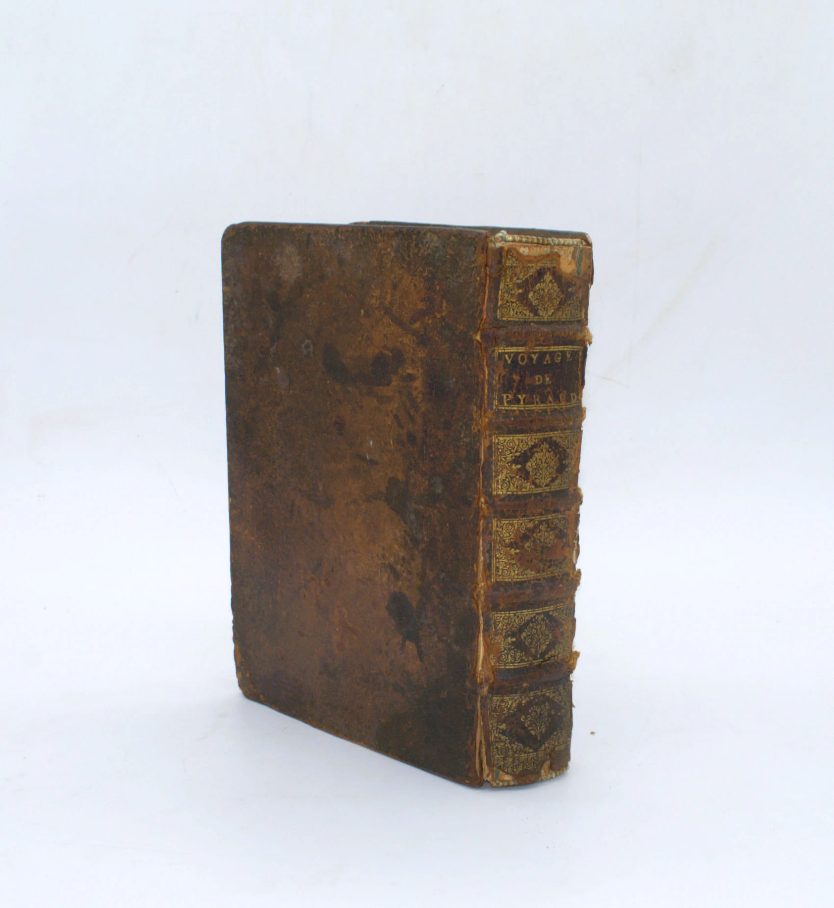
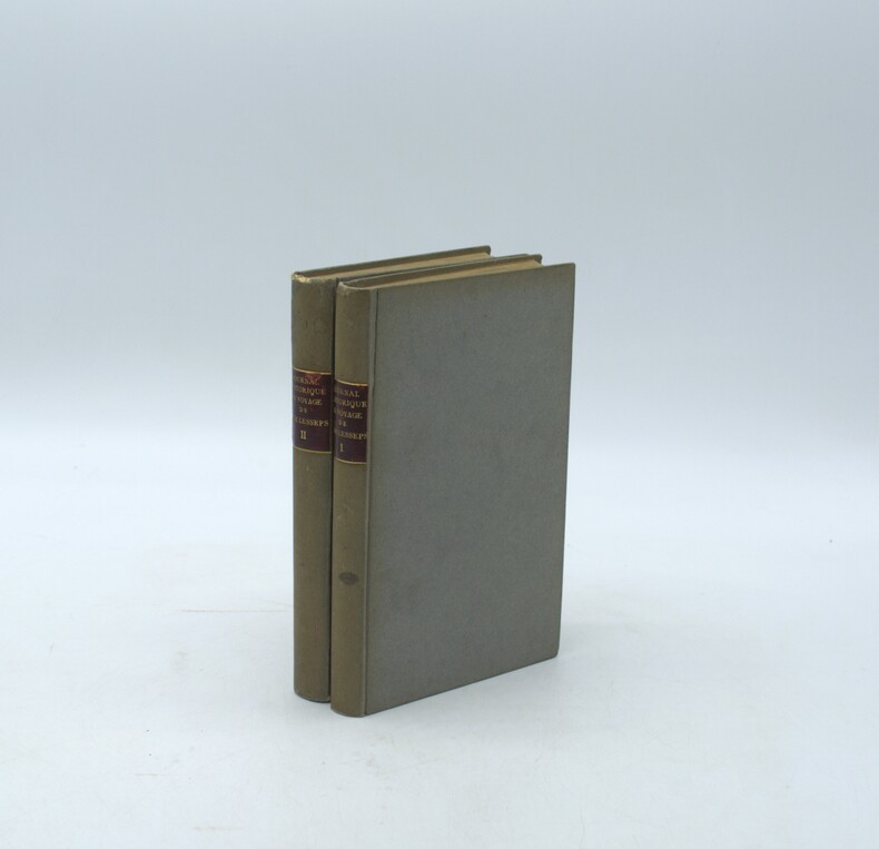
1790réf. PHO-2142Paris, de l’Imprimerie Royale, 1790. 2 volumes in-8° (20 × 13,5 cm), reliés en cartonnage postérieur, dos lisse avec pièces de titre, d’auteur et de tomaison, (6)-VII-1-280 pp. ; 4 ff., 380 pp., VI pp. d’errata. Illustré de deux cartes dépliantes (Kamtschatka ; Route de M. de Lesseps) et d’une planche dépliante (Caravane kamtschadale). Petits défauts, réparations aux faux-titre, titre et 1er feuillet.
réf. 054108Paris Dunod, Editeur 1870 in folio (37x28) 6 forts volumes reliure demi chagrin vert de l'époque, dos lisses ornés de faux-nerfs à froid et de fleurons dorés. Volumes illustrés nombreuses figures dans le le texte, et de nombreuses planches hors-texte. Contenant un choix des objets les plus intéressant des expositions industrielles, destiné aux ingénieurs, mécaniciens, conducteurs, constructeurs de machines, contre-maitres, chefs d'atelier, élèves des écoles, entrepreneurs ouvriers. Rare ensemble. Du tome 15: Années 1870 (15e année) au tome XVI de 1891 (3ème série, 36e année). Importante documentation. Ensemble 6 volumes en reliures uniformes de l'époque et en bel état ( Photographies sur demande / We can send pictures of this book on simple request )
1782In 4°, pp. (2), VIII, 263, (1). Legatura alle armi in pieno marocchino, titolo al dorso, tagli rossi. Le dodici tavole di cui si parla sono la prima codificazione scritta del diritto romano, la cui redazione risale alla metà del V secolo a.C. Questo corpus deriva dai “mores”, cioè l’insieme di leggi che avevano fino allora codificazione orale. Secondo Tito Livio e altre fonti antiche, allo scopo di produrre le dodici tavole, il Senato romano inviò in Grecia una delegazione di ambasciatori per studiare le leggi di Atene e di altre città. Le tavole, non si sa di quale materiale, sarebbero state affisse nel Foro e distrutte nel sacco di Roma del 390 a.C. All’epoca della dissertazione di Stramigioli, abate pesarese, sulla scia delle obiezioni di Vico e della riflessione sul diritto romano apertasi nel XVIII secolo, si era aperto un dibattito secondo il quale i Romani non avrebbero fatto questa spedizione: fra i sostenitori di questa ipotesi troviamo Francesco Maria Ganassoni, al quale lo Stramigioli si rivolge direttamente nelle prime tre sue dissertazioni. Curiosa e originale la quarta dissertazione, nella quale si affronta il tema della nautica e della capacità romana di navigare in epoca romana. Alle sette dissertazioni sulle XII tavole se ne aggiunge un’ottava (“sopra le correnti gramatiche della lingua latina”) in cui l’autore contesta il metodo corrente per insegnare “a’ fanciulli detta lingua col mezzo delle medesime”. 2 According to some studies, the XII plates, i.e. the oldest written codification in Roman law, couldn’t have a Greek source. Stramigioli strongly sustains, in this work, that a Roman delegation was on the contrary sent to Athens, to put together this code. In the fourth dissertation the author address the issue to the Roman ability to sail (and so going to Greece).
1967réf. ABC_46470London: United Kingdom Hydrographic Office 1967. Grey-blue back wrapper; the two quires map and back wrapper held together by two metal staples. Blue cloth with title information in yellow on front cover and spine the supplement loosely inserted at the end of the volume. Large 8vo. The main work with 3 maps including 2 folding and 82 views of coastal profiles on 52 plates. The supplement with 2 folding maps on the two sides of a single folding leaf and 4 views of coastal profiles on 3 pages. With: NAVIGATION - RED SEA - PILOT GUIDE. Supplement No. 7 - 1977 to Red Sea and Gulf of Aden pilot eleventh edition 1967 corrected to 4th March 1977 Whenever reference is made to the pilot this supplement must be consulted.London United Kingdom Hydrographic Office 1977. The essential standard sailing directions for the Red Sea and Gulf of Aden corresponding with zone NP64 on the official Admiralty charts. These nautical works - pilot guides and charts - were published by the United Kingdom Hydrographic Office which provides the necessary hydrographic and marine geospatial data to all kinds of maritime organisations across the world. The publications are not only used by the British Royal Navy but can also be found on board the majority of international merchant ships. The data provided in the pilot guides and other publications are compliant with SOLAS the Safety of Life at Sea treaty guidelines and are updated constantly in weekly "Notices to mariners" and supplements to and new editions of the pilot guides whenever necessary.The present copy is the 11th edition 1967 of the pilot guide with sailing directions and other information on the weather currents radar ranges etc. relating to the Red Sea and Gulf of Aden including the supplement issued in 1977. The first two pages are printed on red-pink paper. Binding slightly rubbed and faded board edges very slightly soiled fore-edge of the supplement slightly frayed. Overall in good condition. United Kingdom Hydrographic Office, hardcover
1695réf. PHO-2386Paris, Jacques Collombat, 1695. In-12 (165x100mm), 4ff.n.c.-2ff.catalogue libraire-205pp.-12ff.n.c., relié plein veau époque, dos orné à 5 nerfs, coiffes arasées, plats légèrement frottés, tranches mouchetées rouge, pièce de titre, illustré d’une carte dépliante avec manque et 5 planches hors-texte.
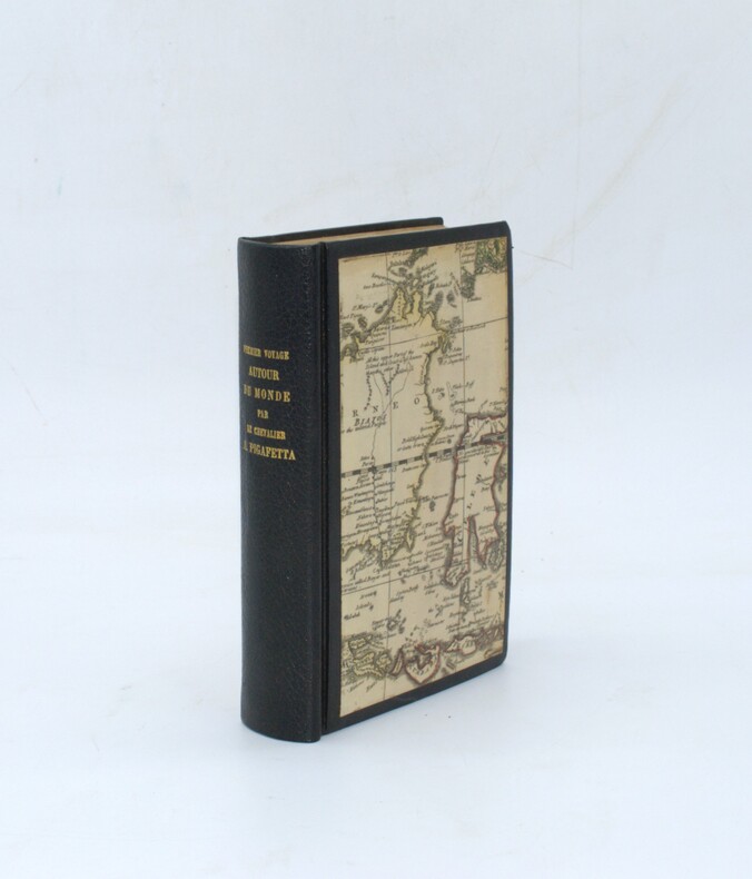
1801réf. PHO-2435A Paris, Chez H. J. Jansen, Imprimeur-Libraire, L’An IX [1801]. In-8° (20,5x14cm), 1f.-LXIV + [IV] + 415pp., chagrin moderne, dos lisse avec titre doré, cartes anciennes aux plats, tête dorée, ex-libris en page de garde. Manque le dernier feuillet, réparation professionnelle à une dizaine de feuillets avec perte de qlqs lettres sur 1 feuillet Neuf planches gravées dont 4 aquarellées et deux cartes dépliantes, manque la carte des Philippines.
1877Very Good Turkish, Ottoman (1500-1928) Original wrappers. Large roy. 8vo. (25 x 17 cm). In Ottoman script (Turkish with Arabic letters). [1], 39 p. First and Only Edition of the description of an early pilot guide to the Aegean Archipelago with the Mediterranean shores of Africa, Cyprus et alli, not including Morea (Peloponnese peninsula) which was published separately as 'Tarîfât-i Sevâhil-i Mora' [i.e. Description of the shores of Morea]. Admiral / General Süleyman Faik Pasha, who graduated from the Ottoman Naval Academy, was promoted to captain in 1864 after his travel to the Cape of Good Hope, and with the information, he obtained during this trip, he published and translated three guides, especially on the seas and coasts under Turkish / Ottoman rule. This early and rare book was one of his translations from its original pilot guide in English, printed in the Bahriye Matbaasi [i.e. The Press of the Turkish Naval Forces] located in Kasimpasa district which is a quarter within the Pera area of Constantinople, a low-lying area north of the Golden Horn. is one of the oldest residential areas in Istanbul with a strong naval tradition. The ships of Sultan Mehmed II sailed into the Golden Horn from this quarter. After the fall of Constantinople, Kasimpasa flourished. By the 16th century, it contained the Imperial Arsenal and docks of the Ottoman Navy, home to 120 ships. The Turkish Naval High School was founded in 1773 within a printing house shortly after foundation, to teach geometry and navigation to naval and civilian merchant captains on board a galleon anchored at Kasimpasa. The Turkish Naval Academy was housed in Kasimpasa from 1838 to 1850. Extremely rare. Only one copy in OCLC 1030771711 (Orient-Institut of Istanbul).; Özege 19742. Not in ATYB (Askerî Tarih Yayinlari Bibliyografyasi).
1882Very Good Turkish, Ottoman (1500-1928) Contemporary handsome quarter leather binding raised four bands and gilt lettering to spine. Roy. 8vo. (24 x 17 cm). In Ottoman script (Old Turkish with Arabic letters. 171, [1] p., 15 folded maps. First and only edition of this early naval guide to the Mediterranean and Aegean Islands and shores prepared by the Ottoman Admiral Süleyman Faik. A comprehensive early printed guide to the Cezâyir-i Bahr-i Sefid [i.e. Ottoman Province of the Archipelago] including the descriptions of all islands in the Archipelago such as Patmos, Peraka, Paros, Delos, Ipsara, Acina, Sekino, Mikonos, Bozcaada (Tenedos), Istanköy (Kos), Imroz, Crete, Anti Paros, Alosis Islands with West and East of the Archipelago, and Edremit Bay, Doris Bay, Rafti Port, Aynaroz Bay; and Anatolian shores such as Izmir (Smyrna), Kusadasi, Gallipoli. This rare book has 15 folded portolan maps of Marmaris Port, Makri Port, Naghos Port, Karaagach (Ptelea, Evros in Greece) Port, Kakuve and Tertumos Ports, portolan of Iskenderun (Alexandrietta), portolan of Lazkiye (Al-Lazkiyya in Syria), portolan of Avret Island and Trablus-Sam, and portolan of Beirut and Sida. Süleyman Faik (1845-1909) was a general, and afterwards an admiral and a Chairman of the Turkish / Ottoman Navy General Staff, divisional. Only six copies in OCLC: 773143926, 67075343.; Özege 16579.; Not in ATYB: Askerî Tarih Yayinlari Bibliyografyasi [= Bibliography of Turkish History of Military Books].
1788réf. PHO-1658Paris, Le Jay & Maradan, 1788, in-4, relié plein veau moucheté époque, dos à nerfs avec pièce de titre, XIV-(1)-384 pp., illustré d’un frontispice ,1 gde carte h.-t. et 14 pl. h.-t., petit travail de ver en marge sur 3 feuillets.
1902réf. 20991902 Edtions H. Dunot et E. Pinat, Paris, 1902- 1904-1906. 6 tomes en 7 volumes in-8 brochés, + atlas in-4. 344, 319, 334, 412, 520, 294, 460 pages, 40 planches, doubles ou repliées . Tome 1: Période des Etudes et de la Constuction; (1854-1869); Tome 2: Période de l'Exploitation (1870-1882); Tome 3: Période de l' Exploitation (1883-1902); Tome 4: Projets, Dispositions Adoptées en Exécution; Tome 5: Exécution des Travaux; Volumes 6 et 7, suite de l'Exécution des Travaux
1819réf. 204461819 (1819),manuscrit autographe de 47 pages (paginé),carton relié in fine,annonçant le depart de l’auteur, le 11 fervier 1819,et interrompant le memoire.
réf. 231764Paris, Dezauche, 1775 in-4, [2] ff. n. ch., lviij pp., 574 pp., [7] ff. n. ch., xvj pp., basane fauve marbrée, dos à nerfs cloisonné et fleuronné, pièce de titre cerise, encadrement de double filet doré sur les plats, tranches rouges (reliure de l'époque). Restaurations aux coiffes, charnières et coins, infimes manques de papier au pp. 43-45, avec légère perte de lettre.
réf. 240112Imprimé en France, ventôse-1798 3 vol. in-8, LXIII-314 pp., 5 ff. n. ch., planisphère repl. en front., 319 pp., 4 ff. n. ch. et 409 pp., 5 ff. n. ch., veau porphyre, dos lisse orné, triple filet doré en encadrement sur les plats, fleurons aux angles (reliure de l'époque). Qqs mouillures marginales.
1624réf. 1935Mit 2 Kupfertafeln, 1 ganzseit. Textkupfer sowie einigen schematischen Textholzschnitten. Leiden, Elzevier, 1624. 4to. (20,2 x 15,9 cm). 28 nn. Bll., 109 S., 1 Bl., 62 S., 1 Bl. Errata. Pergamentband d. Zt. mit Goldprägung auf beiden Deckeln.