NAVIGATION IN CHINABiblio.com
3,434 results
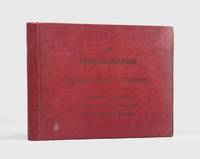
1900ref. 176895Shanghai: Brewer & Co. c. 1900. From the Chefoo Bluff to Lamtong Head Sole edition untraced institutionally the copy of Vice-Admiral Seymour's chief of staff in Tianjin during the Boxer Uprising. This photographic guide is designed for "the navigator of this changeable and frequently foggy locality" preface. We have traced only one other copy which appeared in commerce in 2017. Navigators in the late Qing period could rely on only a small network of lighthouses and fixed navigational aids when sailing the Chinese coast. "In thick weather even a person familiar with the coast is at a loss to identify a well-known Islands with its summit" preface. The thirty views include the Chefoo Bluff in the Pechili Gulf the waters near the Hieshans Light House Zhejiang and Hong Kong's Lamtong Head. A concerted period of lighthouse-building in the 1910s and 1920s obviated the need for further publications of this kind. Provenance: though unmarked as such this copy was owned by Captain Edward Henry Bayly C.B. 1849-1904 Commander of the International Forces at Tianjin in June 1900. Bayly had a lifelong career in the Royal Navy. He was promoted to the rank of lieutenant in September 1873 commander in June 1887 and captain in January 1894 having served overseas in numerous ships. Bayly captained HMS Pelorus during the fleet review for Queen Victoria's diamond jubilee in 1897 and in 1899 became captain of the armoured cruiser HMS Aurora on the China station. During the Boxer Uprising he replaced the wounded John Jellicoe as chief of staff to Seymour was mentioned by Seymour in dispatches and remained at Tianjin until the withdrawal of naval forces. He retired at his own request in February 1904. Landscape octavo. With 30 mounted collotypes within red frames. Original red cloth front cover lettered in gilt white coated endpapers leaves hinged with white linen as issued. A little shaken binding sunned and stained contents well preserved a little toning at fore edges: a very good copy. hardcover
1800ref. PHO-1086Texte In-8 (200 x 130 mm) Relié demi-basane, dos orné pièce de titre et de tomaison ,T1 manque coiffe sup.,T2 ,manque coiffes, papier bruni. 440 pp et 332 pp suivi de 109 pp de vocabulaire et table des planches contenues dans l’atlas, table des chapitres du volume et errata. ATLAS Atlas pour servir à la relation du voyage à la recherche de La Pérouse, fait par ordre de l’Assemblée constituante, Pendant les années 1791, 1792, et pendant la 1ere et 2eme année de la République Française. Paris : H. J. Jansen, An VIII de la République (1800). — In-folio, 510 x 335 : titre, 1 carte, 43 planches. Demi toile , dos lisse avec titre , planches 6 détachée et 35 détachée et émargée , dédicace «à Mr V. Rey, secrétaire général de la Nouvelle Calédonie,1903»
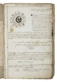
1710ref. ABC_46964The Netherlands 1710. Contemporary flexible paperboards. Folio 33.5 x 21.5 cm. With more than 300 mathematical figures and illustrations mainly full- half- and quarter-circle diagrams. The Dutch text is written in a clearly legible 18th-century cursive hand in brown ink. Early 18th-century Dutch manuscript on the art of navigation based on Klaas de Vries Schat-kamer ofte konst der stuurlieden . 1702. De Vries taught mathematics in Amsterdam his work proved very popular and appeared in numerous editions between 1702 and 1818. The author of the present manuscript unknown but was most likely a student of mathematics possibly even a student of De Vries himself at the beginning of the 18th century.The manuscript deals with several subjects regarding navigation including many different calculations for calendars for example the golden number the tides and determining the time at night. Furthermore theories and examples of correcting compass declination and determining the time of sunrise and sunset from the declination of the sun in combination with the pole star map reading and course calculation. It ends with approximately 50 sample problems in trigonometry and geometry showing the student author's mathematical work.Binding soiled edges frayed lacking the first 7 leaves quires 3 and 5 detached. With several ink stains the ink has bled through some leaves. Otherwise in good condition. An interesting manuscript on navigation probably from a Dutch student ca. 1702/13.l For De Vries's work: The Crone library 374 1st ed 1702. hardcover
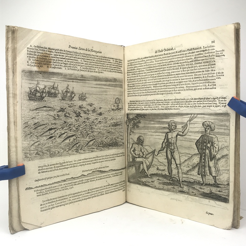
1609ref. PHO-11431 volume in-folio (33 x 23 cm), vélin rigide parchemin (reliure de l'époque), dos lisse titré à l'encre, nombreuses écritures manuscrites sur les plats, 5 à 53-[1] feuillets. Page de titre, 3 premiers feuillets et feuillets 51 et 52 manquants, charnière fendue ,mouillure sur 5 ff et manque de papier en marge , galerie de vers avec manque. Seconde édition française, illustrée de 55 gravures sur bois in-texte.
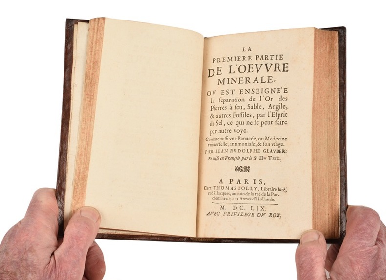
ref. 21548- Annotations sur l’appendix de la cinquiesme partie des “Fourneaux philosophiques”, où il est traitté de plusieurs secrets inconnus, et utiles. Mises en lumière, en faveur des incrédules et ignorans par Jean Rudolphe Glauber. Et traduites en françois par le Sr Du Teil. 62 pp., [1] f.bl. (Stanislas de Guaïta 1421-352)- L’Oeuvre minérale : La Première partie... ou est enseignée la séparation de l’or des pierres à feu, sable, argile, et autres fossiles, par l’esprit de sel, ce qui ne se peut faire par autre voye. Comme aussi une panacée, ou medecine universelle, antimoniale, et son usage. 64 pp.- L’Oeuvre minérale : La seconde partie... De la naissance et origine de tous les métaux et minéraux ; de quelle façon ils sont produits par les astres, sont composez d’eau et de terre, et reçoivent diverses formes. En faveur des curieux. 48 pp.- L’Oeuvre minérale : La troisième partie... ou commentaire sur le livre de Paracelse, appelé “le Ciel des Philosophes”, ou le livre des vexations, dans lequel sont enseignées les transmutations des métaux ; avec un appendix touchant la fonte, la séparation, et les autres opérations nécessaires. 111 pp., [1] bl.- La teinture de l’or ou le véritable or potable ; sa nature, et sa différence d’avec l’or potable, faux et sophistique. Sa préparation spargique et son usage dans la médecine. 22 pp., [1]f.bl. (Caillet 4588 - Stanislas de Guaïta 625)- Traité de la médecine universelle, ou le vray or potable. C’est à dire, une exacte description de la vraye médecine universelle, et de l’admirable vertu qu’elle exerce sur les végétaux, animaux et minéraux. Pour servir de clair flambeau au monde aveugle, luy enseignant le moyen de discerner le mensonge d’avec la vérité ; et de secourir les pauvres malades abandonnez. 61, [1] pp., [1] f.bl. (Stanislas de Guaïta 352 - Lenglet Du Fresnoy p.177)- La Consolation des navigants. Dans laquelle est enseigné à ceux qui voyagent sur mer un moyen de se garantir de la faim et de la soif, voire mesme des maladies qui leur pourraient survenir durant un long voyage. 64 pp. (E.O. trad. Caillet 4569 - Stanislas de Guaïta 352).
ref. 354239Au Dépôt Général De La Marine S.L. 1831 Grand in-folio ( 675 X 525 mm ), demi-toile bleue à coins, plats de percaline maroquinée. Exemplaire complet de son feuillet d'index gravé et de ses 32 cartes gravées -majoritairement marines- dont 8 sur double page ( dont carte générale de la Corse ) et montées sur onglet. EDITION ORIGINALE. Rousseurs passim et petite mouillure claire en marge intérieure. Bon exemplaire. TRES RARE. Cervoni, Image de la Corse, 138.
1783ref. 340504W. Strahan, J.F. And C Rivington, A. Hamilton etc., London 1786, 1779,1781 + 1783. mehr als 1000 Seiten je Band mit Titelkupfer in Band 1 und mit 145 (von 146) teils gefalteten Kupferstich-Tafeln sowie 78seitigem Index im Tafelband, (more than 1000 pages per volume with title copper in volume 1 and 145 (of 146) partly folded plates (copperplate engravings) and with 78-page index extensive index in the plate volume), 2° (40 x 24 cm), Originalganzledereinbände der Zeit mit Rückentitel, fachmänisch restauriert, Papier ganz vereinzelt leicht braunfleckig, Innendeckel mit Exlibris, insgesamt sehr gute Exemplare mit sauberen Tafeln, (Original all-leather bindings of the period with spine title, professionally restored, paper with occasional slight brown spots, overall very good copies with clean plates),
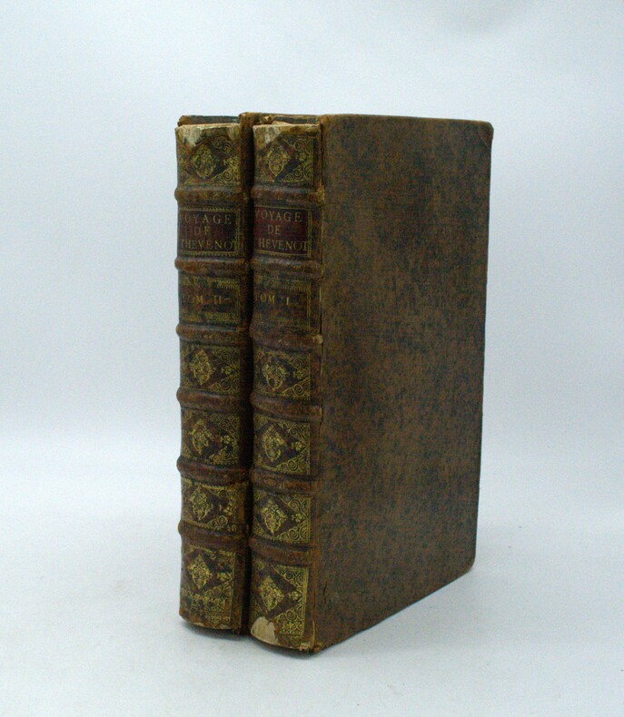
1696ref. PHO-1981Paris, Thomas Moette, 1696 ; 5 parties en 2 vol. in-folio (37x23,5cm), veau marbré, dos à nerfs richement orné de motifs dorés avec tomaison et pièce de titre grenat, quelques frottements, charnières fendillées, manque au dos, coins usés, coiffes absentes, 8 feuillets détachés, rousseurs, qlqs feuillets brunis. L’illustration comporte de nombreuses gravures et illustrations dans et hors texte, 6 cartes dont la carte de l’Indostan, de la Colchide, du Japon (qui regarde l’Amérique), carte de la route du voyage de Canton à Péking, carte de l’Éthiopie, carte de l'Éthiopie ["Entrée de quelques ports…"]. Il manque la Carte de Bassorah, les 2 planches de caractères Chaldéens, la carte de l’Australie, la carte des côtes d’Arabie et d’Asie, la carte des Costes de Sierlionne, la carte des Philippines et Chine, la carte de Chine
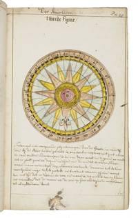
1735ref. LC4E9Q4RAGZBHolland 1735. Green paper wrappers made from a discarded prospectus or the wrapper of an instalment of a book ca. 1865 sewn at 6 stations some perhaps without supports later green cloth spine with the title in manuscript on the front wrapper. Folio 31.5 x 20.5 cm. A manuscript course in navigation written in brown ink on laid paper in a largely upright cursive hand with 6 colour figures including 2 volvelles about 100 black and white diagrams and numerous tables of data highlighted with a yellow wash. A detailed manuscript course in the art of navigation in folio format with figures in colour including two volvelles partly based on the very rare first edition in 8vo format of Klaas de Vries 1662-1730 Schat-kamer ofte konst der stier-lieden 1702; Crone 374 probably in the first issue not known to survive before the insertion of an additional quire between B and C. But the manuscript doesn't merely copy the printed book: at least much of the text differs and also at least some of the tabular data and some of the figures also have no direct equivalents in the printed book also not in later editions as far as we have seen. The colour illustrations include a compass rose 13.8 cm diameter with a ship in the centre directly copied from the folding engraved plate in De Vries and virtually the same size but the ship in the centre is copied in mirror image and De Vries's abstract floral decorations in the corners outside the circle are replaced by colour drawings of four different flowers one in each corner. The manuscript also directly copies De Vries's woodcut illustration of a human hand marked with the numbers "29" "9" and "19" on the thumb and the letters A B and C next to them presented as an aid to calculating the epact the number of days past the new moon on 1 January but the hand is rotated 180 degrees. Most of the examples of calculations use years in the period 1700-1711 though there are a few later ones one example uses the year 1809! which also largely agrees with the 1702 edition of De Vries though the examples are not identical. The clearest indication that the present manuscript follows the 1702 edition rather than a later one is that the tables giving differences between the positions of the sun and moon cover the years 1701-1704 as in the first edition before the insertion of an extra quire extending the tables to 1710 B8 was replaced at the same time not noted by Crone. All later editions we have seen give these tables and the examples of calculations for later years. Yet even in these tables the data in the present manuscript doesn't exactly agree with De Vries's. With a bookseller's ticket ca. 1901/1919. Very slightly browned with occasional minor spots or ink stains but still in good condition. The one leaf that appears to be lacking may have been deliberately cancelled by the compiler. The wrapper has a later cloth spine as noted and is somewhat worn. A fascinating manuscript course in navigation with volvelles and other figures in colour partly based on the very rare first 1702 edition of De Vries's handbook but not merely copying it.l For De Vries's 1702 handbook: Crone 374 collation not entirely correct. hardcover