GIVRY, Alexandre-PierreLivre Rare Book

3 377 résultats
1842réf. PHO-1056Paris, Imprimerie royale, 1842. In-4 de viii p., 493 p., [1] f. d’errata et 12 pl. dépl. de vues de profils des côtes. Cartonnage éditeur. Première édition sur un beau papier de l’imprimerie royale (Papier déchiré sur les mors, cart. frotté et taché , qlqes rousseurs sur les plans). (Polak, 3941.)
1793réf. PHO-2402Paris, Maradan, 1793. 2 volumes in-8 (20 x 12,5 cm), 2ff.-280pp. & 2ff.-272pp., veau porphyre, dos lisse orné avec titre et tomaison, triples filets aux plats, tranches jaspées. Petits frottements, 2 coins usés, 1 cahier bruni, déchirure au pli de la grande carte.
réf. AEROS162P., Bachelier, 1847. Grand in-8, 351 pages, IX planches dépliantes hors-texte, broché.
1681Il foglio (cm. 50 x 38,5) deriva dal volume del Meyer (“L’arte di restituire a Roma la tralasciata navigazione del suo Tevere”) ma - come nel volume - include la dicitura dello stampatore (Tinassi). Vistoso restauro al centro della pagina. This leaf, printed on both sides, derives from the notorius Meyer’s work: “L’arte di restituire a Roma la tralasciata navigazione del suo Tevere” (Roma, Camera apostolica, 1683). As like in the volume, the etching includes the printer’s note (Tinassi). Restoration at center of the leaf.
1791réf. PHO-723Paris, Prault, 1791. In-8, basane marbré , dos lisse orné avec pièce de titre, tranches bleues (Reliure de l'époque). Édition originale de cette relation de voyage à Madagascar, comprenant une grande carte dépliante de l'île, gravée par Bénard d'après le dessin fait en 1727 par Robert .
1912"Contains information published for the first time, of navigable distances of lakes and rivers in north-western Ontario, Manitoba, Saskatchewan, Alberta and Mackenzie Territory; the draught and number of steamers plying on thoses waters. Similar information is given of the inland waters of British Columbia for the first time. In the description of the Transcontinental and Intercolonial railways much new information appears... Original photographs of various localities were procured from the headquarters of the railways and steamboat lines. The book is copiously illustrated." - A. Johnston, Deputy Minister of Marine and Fisheries. "Intended as a sketch of Canada, for the use of representatives, delegates and members of the XIIth Congress of the Permanent International Association of Navigation Congresses, to be held at Philadelphia. Contains information relating to Canada, important lines of communication on this continent, and ocean going steamers, that will be valuable to travellers engaged in business, tourists, sportsmen, yachtsmen, canoeists, surf bathers, and others who may find the means of satisfying any reasonable desire connected with travel, pastime or recreation." - from Introduction. Prior owner's name upon first blank leaf else unmarked. Average wear with the following exception: Affixed to the last leaf is a 35" x 21.5" fold-out map of the Dominion of Canada which shows national rail lines, resource locations, fog signals, lighthouses, wireless stations, and more. Through use, this leaf and the two which preceed it are loose but present. Two-inch opening at base of back cover and backstrip. Also included is a 21" x 17.5" fold-out map entitled "Chart of Radio-Telegraph Stations on the East Coast". Profusely illustrated with often enthralling black and white photography. Attractive gilt lettering upon embossed chocolate brown cover. A magnificent survey of Canada's natural resources and transportation infrastructure in the Pre- World War One era. Book
réf. 14397P., Chez Molini, 1767 ; in-12. Frontispice-2 ff.- LXVIII-335 pp. Demi-basane blonde, dos lisse teinté vert sombre, orné de filets et petits fers dorés, pièce de titre rouge. Bon exemplaire, frais.
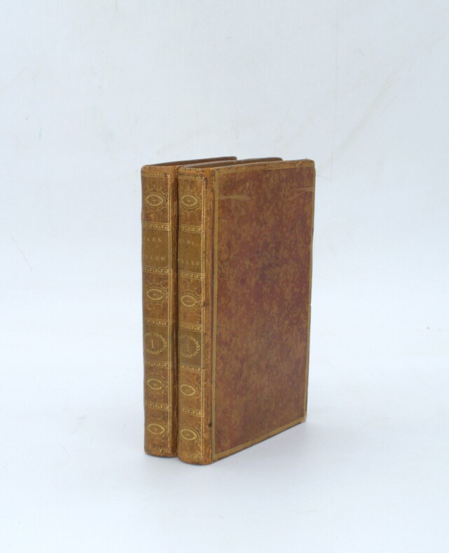
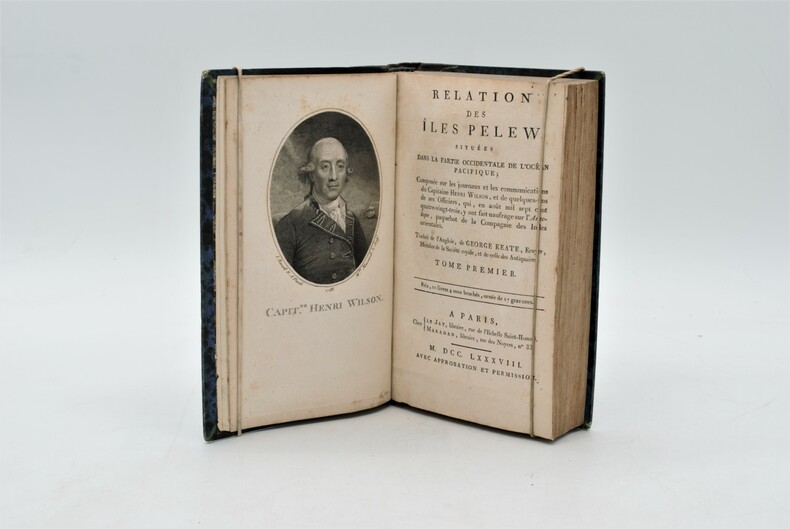
1788réf. PHO-1087Chez Le Jay et Maradan, A Paris 1788, 2 volumes reliés en un , in 8 , (4) 282pp. et (4) 274pp. (3),, relié demi cuir , dos lisse avec titre illustré d’un portrait de Wilson en frontispice, une grande carte dépliante , 15 planches hors texte, petites rousseurs , léger frottements .
réf. 44883Lausanne, F. Rouge 1892-1904, 240x155mm, XIII- 539 + 651 + 715pages, reliure percaline. Auteur, titre, tomaison et filets dorés au dos, déchirure au dos du tome 3, autrement bon état.
1924réf. 185018Likely Shanghai: no stated publisher c. 1924. First edition. Alongside notices amending and repealing existing directions the volume includes the text of four newly propagated and substantial documents concerning the ports of Amoy Yingkou Newchwang Wuhu and Qingdao as well as several non-maritime orders. This copy now deaccessioned was one of at least two sent to the Foreign Office Library in August 1924 by Judge Skinner Turner 1868-1935 the chief justice of the British Supreme Court for China from 1921 to 1927 Skinner's bequest is noted on the bookplate. The library's retained copy held in the FCDO Historical Collection at King's College London is the only other example we have traced. Octavo. Original buff boards brown cloth backstrip front cover lettered in black. Ex-Foreign Office Library with its date label and stamps on boards bookplate accession notation and withdrawal stamp. Covers and contents toned: very good. hardcover
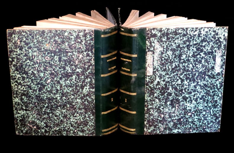
1840réf. 41654Paris ca. 1840. Folio. 36x25 cm. Contemp. hcalf. Spine gilt but somewhat rubbed. 264 pp. numerous illustrations in margins and in the text. 2 folded maps. The text is handwritten and reproduced with an etching technique probably zinkography. Internally clean and fine. unknown
1840réf. 41654(Paris ca. 1840). Folio. (36x25 cm.). Contemp. hcalf. Spine gilt, but somewhat rubbed. 264 pp., numerous illustrations in margins and in the text., 2 folded maps. The text is handwritten and reproduced with an etching technique, probably zinkography. Internally clean and fine.
réf. L107Editions HELLEM (30e Année), 1935. Album in-folio (34x48 cm), 124 pages, nombreuses photos, publicités, plans des emménagements (El Djezaïr, El Mansour, El Kantara, El Biar), reliure toile illustrée par GANTET, reliure-dorure à (Marseille).
1886réf. 21051886 Librairie Hachette, Paris,1886. In-4 demi-chagrin. 399 pages, 99 gravures sur bois, portrait de Bonaparte-Wyse en frontispice, 2 grandes cartes en couleurs rempliées, un tableau synoptique
1907réf. 10701Paris, Dunod et Pinat, 1907 ; in-8, broché ; (4), 305, (3) pp., grande planche dépliante (profils en long des 3 projets), figures et 11 planches hors-texte dont 2 plans et 9 photographies, couverture brique imprimée.
réf. 20720Paris, Imprimerie Générale de Ch. Lahure, 1866. Demi chagrin, dos à nerfs, orné, tranches dorées. in-4, faux-titre, titre, 133-(3) pages + 21 planches (cartes et illustrations) dont certaines en couleurs, en double-page et 1 dépliante (carte), Envoi autographe, signé de l'auteur à son maitre l'historien et épigraphe Léon Renier avec un ex-libris de celui-ci (tampon).
réf. 23940Paris et Liege, librairie Polytechnique Beranger, 1899-1917, 1903 et 1904. 3 volumes au format 16x24 cm, demi reliure cuir, dos lisse, titre et filets dores sur le dos, XI+479, X+505, XIV+579 pages. Cachets ronds de bibliotheque sur les pages de titre. Tres bel ensemble, rare.Tres bon etat.
1861réf. 15232Paris, Imprimerie administrative de Paul Dupont, 1861 et 1862. 2 forts vol. au format in-4 (268 x 213 mm) de xlviii - 612 et xxxiv pp. ; vii - 700 et xii pp. Reliures uniformes de demi-basane glacée émeraude, dos lisses ornés de quadruples filets dorés, titre doré, tomaison dorée, toutes tranches mouchetées.
1773réf. 4723Au Havre de Grâce, P.J.D.G. Faure, 1773. 1773 2 parties en un fort vol. in-12° (175 x 107 mm) de : 179 pp. (dont titre première partie, table pour trouver lheure des pleines mers, usage de la table et avertissement) ; [3] pp. (table des matières) ; [1] f. bl. ; [2] ff. (titre deuxième partie et avertissement) ; 190 pp. ; [7] ff. (table des latitudes, table des matières) ; 20 figures géométriques gravées sur bois, jolis bandeaux et culs de lampes. Vélin souple d'époque, dos lisse, tache sur le premier plat, rosace sur le second plat.
1916réf. 52205ABStuttgart, Strecker und Schröder, 1916. 4° (35x25), LXXV, 960 Sp, S. [961] - 992 (Register), mit 317 Kartenskizzen und Textbildern, OHln mit LnEcken, dreiseitiger Rotschnitt, [3 Warenabbildungen] (1. Aufl.) Einband mit marginalen Lagerspuren, sauber und gepflegt, nahezu ungelesen, schönes Exemplar,
réf. ORD-10978Dressée du point de vue spécial de la navigation. Gravée par Sonnet. 2°édition. 1886. Paris aux Bureaux du Journal de la Marine, le Yacht. Gd in-f°(340 x 492mm) dos lisse cuir rouge, titre or sur le 1°plat, tableau d'assemblage et 25 cartes, le tout en 2 couleurs sur double page, montées sur onglet. Reliure un peu usagée, bon état intérieur, complet.
1839réf. 331758London: Smith Elder and Co 1839. Softcover. Good. First edition. Octavo. Disbound. 49pp. folding map. Lacking wrappers; title page and folding map detached from sewing; good. A scarce report establishes an early point for the English empire's interest in establishing a steam boat line in India and the methods by which they proposed to go about doing so. Commercial manufacturers and various merchants from Manchester Liverpool and India were enlisted to support the proposal and the report outlines navigational routes estimations of cost and the enthusiasm of changing maritime trading methods up and down the Ganges. The idea for an East India Inland Steam Navigation Company apparently began percolating in 1837 and this report fits nicely within the small pantheon of material devoted to this literature. Not in OCLC. One copy found at the British Library. Smith, Elder and Co unknown
1839réf. 331758London: Smith Elder and Co 1839. Softcover. Good. First edition. Octavo. Disbound. 49pp. folding map. Lacking wrappers; title page and folding map detached from sewing; good. A scarce report establishes an early point for the English empire's interest in establishing a steam boat line in India and the methods by which they proposed to go about doing so. Commercial manufacturers and various merchants from Manchester Liverpool and India were enlisted to support the proposal and the report outlines navigational routes estimations of cost and the enthusiasm of changing maritime trading methods up and down the Ganges. The idea for an East India Inland Steam Navigation Company apparently began percolating in 1837 and this report fits nicely within the small pantheon of material devoted to this literature. Not in OCLC. One copy found at the British Library. Smith, Elder and Co unknown books
1939réf. RiverPilotHUDSON RIVER NAVIGATION Godfrey's river and canal pilot: useful information for masters pilots mates and yachtmen navigating the Hudson River New York State Barge Canals and Long Island Sound. Compiled by Daisy M and Frank H Godfrey. Rome NY: Republican Printing Company 1939. 8vo 33pp; blue textured paper covers lettered in silver a fine copy overall. First and apparently only printing OCLC locating only two copies. Extensive listing of magnetic compass courseCayuga Ls including the Hudson River both North and South bound Oneida Lake Cayuga Lake Seneca Lake Erie Canal Oswego Canal Buffalo Harbor Long Island Sound and New Haven maint entrance to Stratford Point. Republican Printing Company paperback
1939réf. RiverPilotHUDSON RIVER NAVIGATION Godfrey's river and canal pilot: useful information for masters pilots mates and yachtmen navigating the Hudson River New York State Barge Canals and Long Island Sound. Compiled by Daisy M and Frank H Godfrey. Rome NY: Republican Printing Company 1939. 8vo 33pp; blue textured paper covers lettered in silver a fine copy overall. First and apparently only printing OCLC locating only two copies. Extensive listing of magnetic compass courseCayuga Ls including the Hudson River both North and South bound Oneida Lake Cayuga Lake Seneca Lake Erie Canal Oswego Canal Buffalo Harbor Long Island Sound and New Haven maint entrance to Stratford Point. Republican Printing Company paperback books