3 430 résultats
1911207pp + uitvouwbare kaart & 4pp. stellingen, 25cm., Doctoraal proefschrift (Rijksuniversiteit Groningen), gebroch., stempeltje, tekst is helder en in goede staat, N112248
1911réf. N112248Groningen, 1911 207pp + uitvouwbare kaart & 4pp. stellingen, 25cm., Doctoraal proefschrift (Rijksuniversiteit Groningen), gebroch., stempeltje, tekst is helder en in goede staat, N112248
1963réf. 78017Copenhagen Denmark - Kopenhagen, Dänemark. 1963. 109 Seiten. Mit zahlr. teils farbigen Abb. u. einer gefalteten Tafel mit Abbildungen der Schiffe. Farbig ill. OKart. 25x19 cm
1949Ex-library book with usual (minimal) marks and stamps, to front end paper and spine foot only. No other marks or inscriptions to contents. No creasing to covers. Very clean very tight pages with lightly marked boards, well rubbed top of spine, tanned page edges, damp effect to top of page edges - no effect on pages and very slight rubbing to upper corners. Fold-out maps in excellent condition. 671pp. Navigation and depth shipping guidance for the East Coast of the United States of America from West Quoddy Head to Barnegat Inlet including Grand Manan Channel. We do not use stock photos, the picture displayed is of the actual book for sale. Every one of our books is in stock in the UK ready for immediate delivery.
1951'Withdrawn' stamp on front end paper and number at spine foot are only suggestions it was probably a library copy. No other marks or inscriptions. No creasing to covers or to spine. A very clean very tight copy with bright unmarked boards, well rubbed spine ends, tanned page edges and minor bumping to rear corners. Fold-out maps in excellent condition. 401pp. Navigation and depth shipping guidance for the East Coast of the United States of America from Barnegat Inlet to Cape Canaveral.
1996réf. 42091Alexandria VA: The Institute of Navigation 1996. First Edition. First Printing. good. 850 wraps illus. diagrams references index cover somewhat worn and soiled. The Institute of Navigation paperback
1925Very Good Turkish, Ottoman (1500-1928) Original red cloth, gilt lettering on front board. Fading and stains on the extremities of boards. Roy. 8vo. (24 x 16 cm). In Ottoman Turkish (Old Turkish with Arabic letters). [3], 52, [1] p., imprint page has "Seyr-i Sefâin Idaresi" [i.e. Turkish Maritime Administration] letterhead. Uncommonly scarce first and only edition of this Turkish nautical guide to vessels and sailors, containing the logarithm tables to calculate the loxodrome line used for correct bearing while sailing, according to the Mercator projection, published by the Turkish Maritime Administration two years after the proclamation of the new Republic. Not in Özege.; Not in OCLC.
réf. 0951432818.Ghardcover. Good. Access codes and supplements are not guaranteed with used items. May be an ex-library book. hardcover
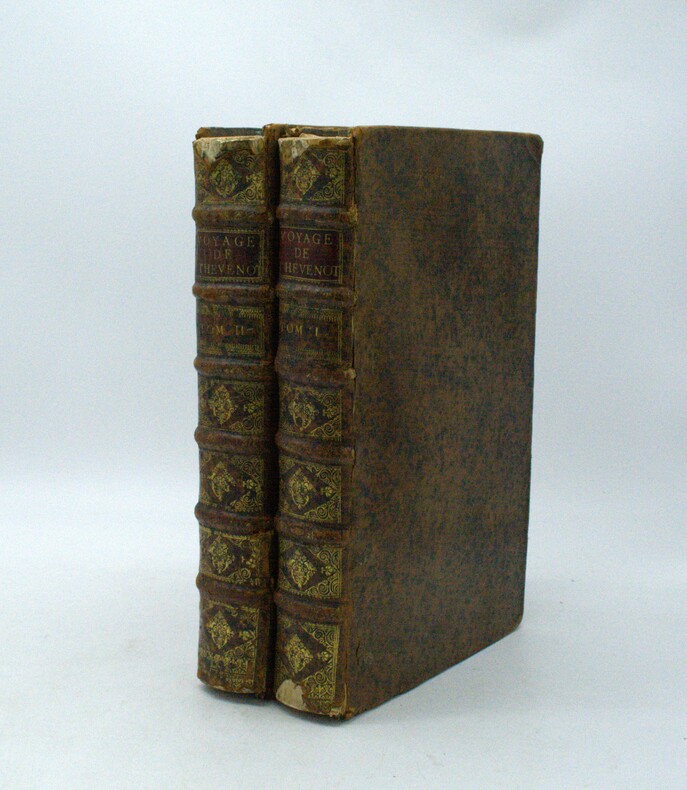
1696réf. PHO-1981Paris, Thomas Moette, 1696 ; 5 parties en 2 vol. in-folio (37x23,5cm), veau marbré, dos à nerfs richement orné de motifs dorés avec tomaison et pièce de titre grenat, quelques frottements, charnières fendillées, manque au dos, coins usés, coiffes absentes, 8 feuillets détachés, rousseurs, qlqs feuillets brunis. L’illustration comporte de nombreuses gravures et illustrations dans et hors texte, 6 cartes dont la carte de l’Indostan, de la Colchide, du Japon (qui regarde l’Amérique), carte de la route du voyage de Canton à Péking, carte de l’Éthiopie, carte de l'Éthiopie ["Entrée de quelques ports…"]. Il manque la Carte de Bassorah, les 2 planches de caractères Chaldéens, la carte de l’Australie, la carte des côtes d’Arabie et d’Asie, la carte des Costes de Sierlionne, la carte des Philippines et Chine, la carte de Chine
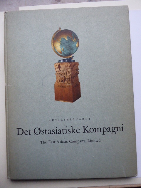
1663réf. PHO-2278A Paris, chez Jacques Langlois, 1663-1666 3 parties en 1 volumes in-folio (38x25cm). Veau tacheté époque, dos à nerfs ornés avec pièce de titre en maroquin et tomaison, tranches jaspées rouges. Réparations au dos et coins, mouillure, quelques rousseurs, réparation au titre, renforcement à la carte. Complet de ses relations de voyage selon Brunet & Camus
1966641pp.avec ills.hors-texte et 1 carte et 1 graphique dépliantes, 24cm., br.orig., dans la série "Travaux de la Faculté de Philosophie et Lettres" vol.30, bon état, B62161
1966641pp. avec ills.hors-texte et 1 carte et 1 graphique dépliantes, reliure pleine toile grise d'éditeur avec titre doré, 25cm., dans la série "Travaux de la Faculté de Philosophie et Lettres" vol.30, bon état, poids: 1.2kg., B106136
1966réf. B62161Bruxelles, Presses Universitaires de Bruxelles 1966 641pp.avec ills.hors-texte et 1 carte et 1 graphique dépliantes, 24cm., br.orig., dans la série "Travaux de la Faculté de Philosophie et Lettres" vol.30, bon état, B62161
1966réf. B106136Bruxelles, Presses Universitaires de Bruxelles 1966 641pp. avec ills.hors-texte et 1 carte et 1 graphique dépliantes, reliure pleine toile grise d'éditeur avec titre doré, 25cm., dans la série "Travaux de la Faculté de Philosophie et Lettres" vol.30, bon état, poids: 1.2kg., B106136
réf. 230478Paris, Hachette et cie, 1866 2 vol. in-12, 352 pp. et 376 pp., demi-basane brune, dos lisse orné de filets dorés (reliure de l'époque). Dos frotté avec épidermures. Chocs sur une coupe au tome I. Rousseurs.
1945réf. 590301945 Paris, Société d'Editions Géographiques Martimes et Coloniales, 1945 14,5 x 19,5 cm, 159 pp, broché, couverture souple illustrée comportant des traces de scotch, dos fendu,
187832p. 8vo. Original printed wraps. Excellent copy. Includes: REAL ESTATE AUCTION; STOCK AUCTION; PHILADELPHIA EXCHANGE; SHARES; SCHUYLKILL NAVIGATION COMPANY; PENNSYLVANIA RAILROAD; KENSINGTON NATIONAL BANK; JAY COOKE DEPOSIT; MANSIONS; DWELLINGS; COTTAGES; STORES; WAREHOUSE; LOTS. Scarce. PA PAMPH 19_15 BX1
First edition, 8vo (210 x 140 mm), 35, [1]pp., recent quarter calf, marbled boards, morocco title label to spine. Richard Thomas (1779-1858), civil engineer and surveyor, often referred to as Richard Thomas of Falmouth. This was his first appearance in print, on the verso of the terminal leaf is an advert for "A Chart of the Severn, On a large Scale, from an Actual Survey, Size 6 feet by 2 feet, by Richard Thomas". The former owner of this scarce pamphlet has noted "I have this Chart of the Severn - now with my other charts. 1890. N. W." Skempton, 1629; Not in the British Library.
réf. 8634broché - 15,5x24 - 319 pp - 1976 - éditions Belfond, Paris
1958réf. 9458Paris Le Club du Meilleur Livre 1958 Petit In-8 carré 338 pp, Documents originaux traduits et présentés par M. Thomas, tirage numéroté. 30 illustrations en noir et couleurs hors-texte, vignette couleur sur le 1er plat ; dos passé, jaquette transparente déchirée sans manque en tête.
1935xxxvi + 320pp. + losbladig 2pp. stellingen, + 30 zw/w platen en 16 kaarten buiten tekst, 27cm., Doctoraal proefschrift (Rijksuniversiteit te Utrecht), originele omslag (vaag spoor van verwijderd label onderaan rug), stempeltje, tekst helder en in goede staat, gewicht: 1.4kg., N113279
1935réf. N113279Amsterdam, Enum 1935 xxxvi + 320pp. + losbladig 2pp. stellingen, + 30 zw/w platen en 16 kaarten buiten tekst, 27cm., Doctoraal proefschrift (Rijksuniversiteit te Utrecht), originele omslag (vaag spoor van verwijderd label onderaan rug), stempeltje, tekst helder en in goede staat, gewicht: 1.4kg., N113279
1989réf. vb2313Le Chasse-Marée Cartonné avec jaquette 1989 In-8 (16 x 24,2 cm), cartonné avec jaquette, 434 pages, fac-similé de l'édition de 1871 chez Adolphe Lainé ; dos et bordures de la jaquette insolés, par ailleurs bon état général. Livraison a domicile (La Poste) ou en Mondial Relay sur simple demande.
réf. QWA-17960Le Chasse-Marée, 1989, in-8 rel. toile bleue (16 x 24), XXXII-434 p., fac-similé de l'ouvrage de 1871, illustrations (dessins), tableau dépl., jaquette, bon état.
réf. QWA-2620Toulouse, Imprimerie de Durand, Fillous et Lagarde, 1889, 39 p., in-8 br., une carte dépliante in-fine, bon état