Adriatic SeaBiblio.com
Ius Municipales Adriæ
Best.-Nr. 0265120977.Gpaperback. Good. Access codes and supplements are not guaranteed with used items. May be an ex-library book. paperback

Bonita · Vereinigte Staaten54,33 $≈ 48,54 €
299 Ergebnisse
Best.-Nr. DADAX1241698767New unknown
Best.-Nr. DADAX0393032043New unknown
Best.-Nr. DADAX0231132425New unknown
Best.-Nr. DADAX178491164XNew unknown
Best.-Nr. SONG1402002254Used: Good unknown
Best.-Nr. DADAX0792351193New unknown
Best.-Nr. DADAX0801477093New unknown
Best.-Nr. 0265120977.Gpaperback. Good. Access codes and supplements are not guaranteed with used items. May be an ex-library book. paperback
Best.-Nr. 0260670057.Ghardcover. Good. Access codes and supplements are not guaranteed with used items. May be an ex-library book. hardcover
1974Best.-Nr. ARTE0502Tokyo, A.D.A. Edita 1974. 4° 141 S., zahlr. Abb., okart., bedr. Schuber
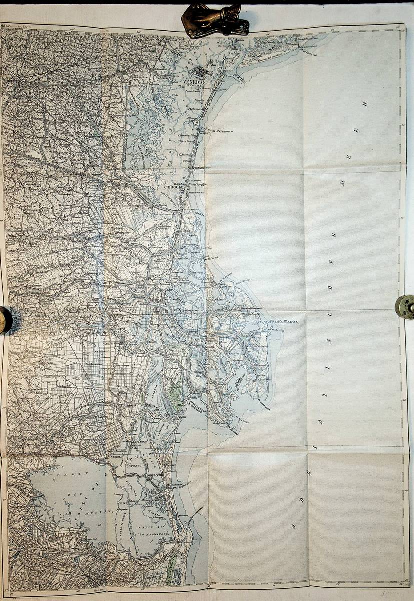
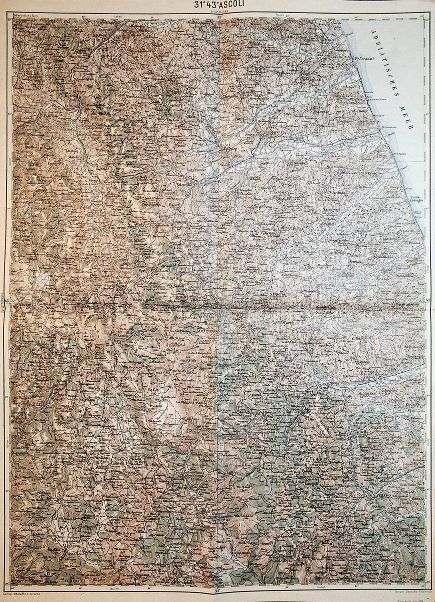
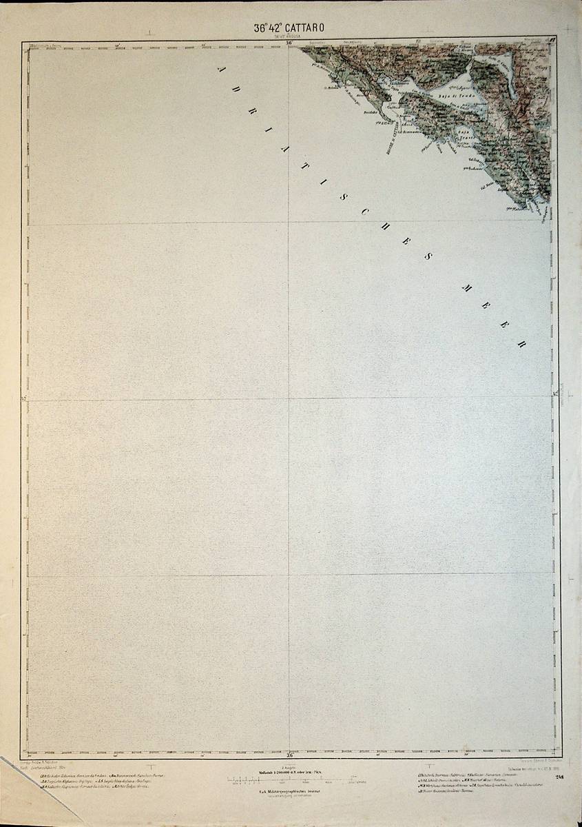
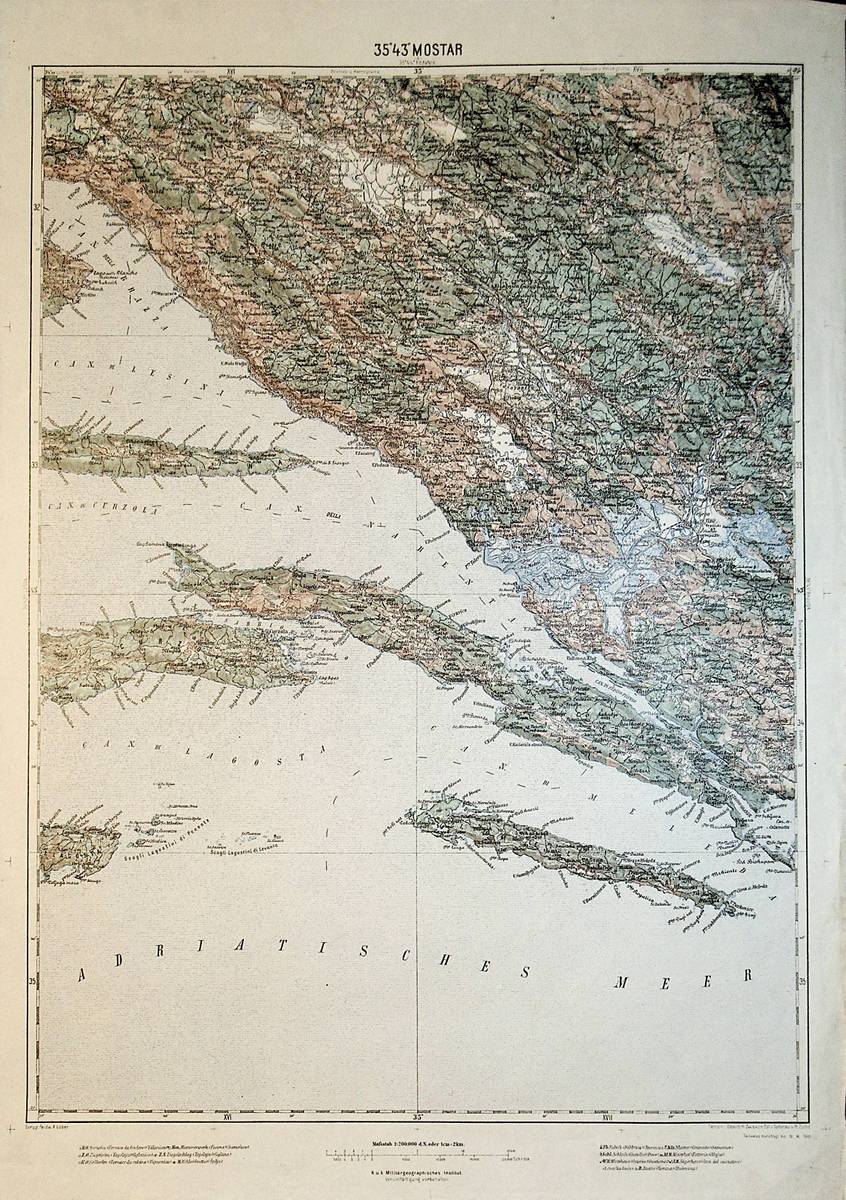
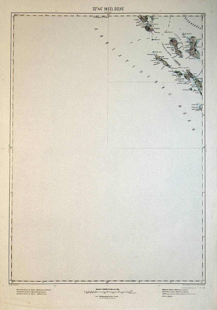
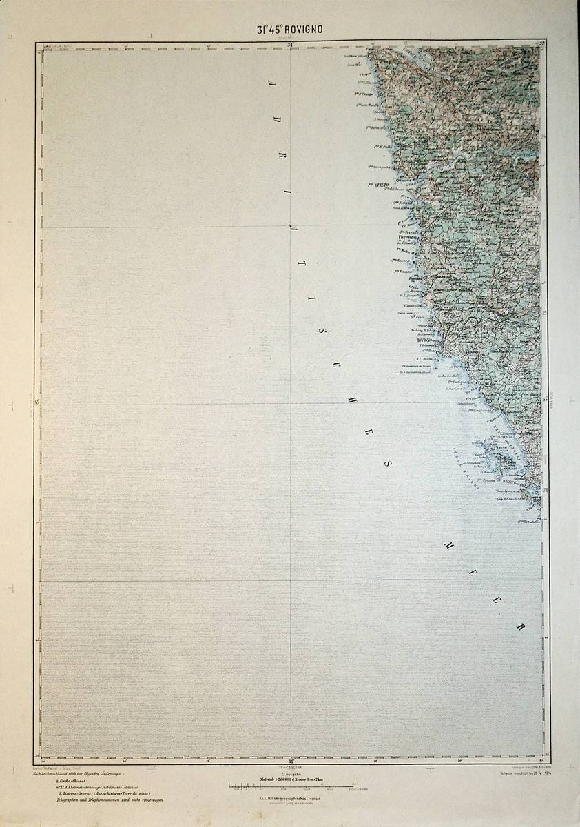
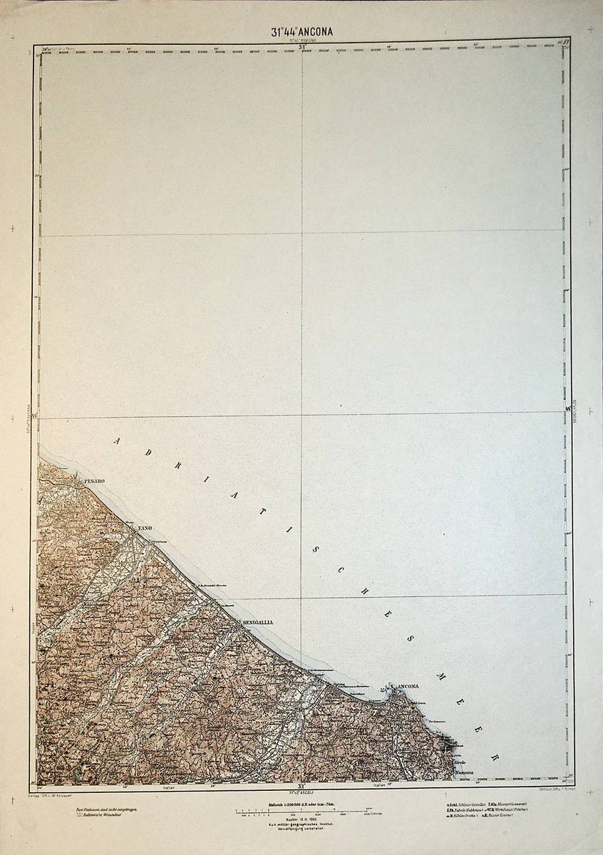
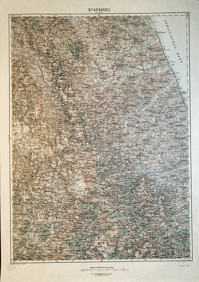
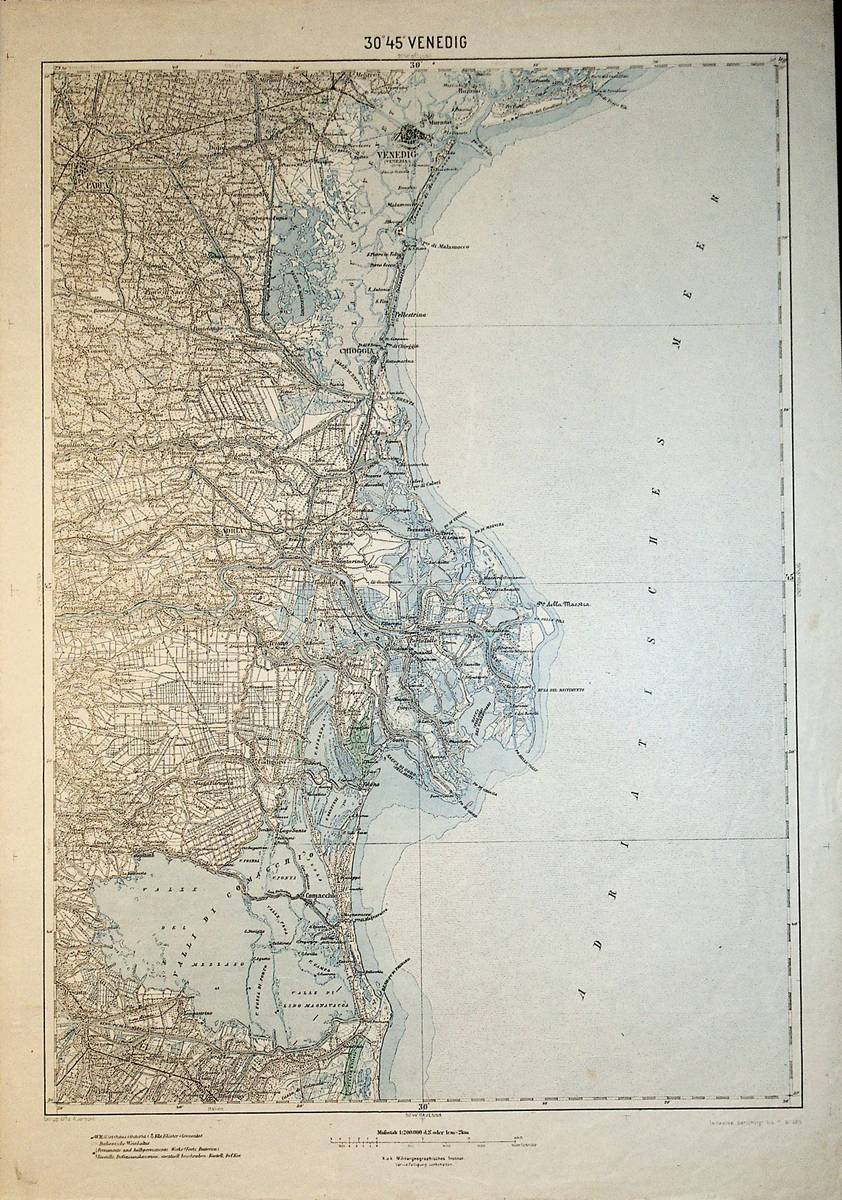
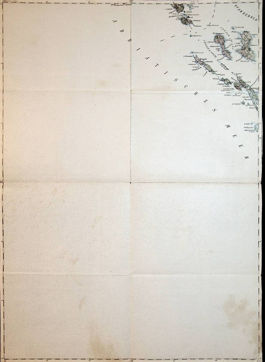
1898Best.-Nr. K-1479Wien, Kaiserlich-K?nigliches Milit?r-Geographisches Institut, 1898. Hochformat, ca. 42 x 55 cm, gefaltet zu 16 Segmenten, Ausgabe: mehrf?rbig; Zustand: gut +
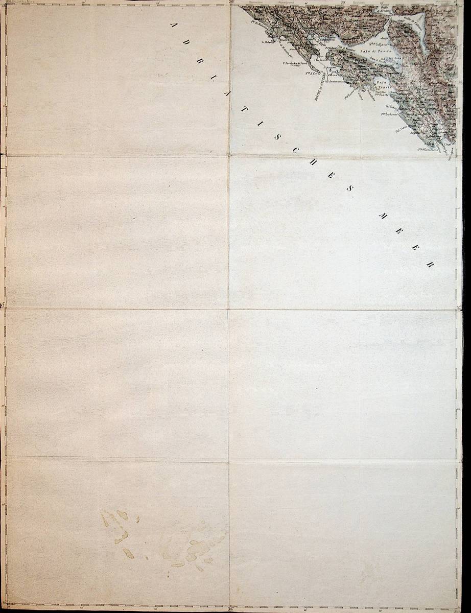
1911Best.-Nr. A141-1330Wien, Kaiserlich-K?nigliches Milit?r-Geographisches Institut, 1911. Hochformat, ca. 42 x 55 cm, gefaltet zu 4 Hauptsegmenten, Ausgabe: mehrf?rbig; Zustand: Kartenblatt mit einem Riss, Titel auf R?ckseite aufkaschiert, sonst gut
1890Best.-Nr. A141-1316Wien, Kaiserlich-K?nigliches Milit?r-Geographisches Institut, um 1890. Hochformat, ca. 42 x 55 cm, gefaltet zu 4 Hauptsegmenten, Ausgabe: mehrf?rbig; Zustand: gut +
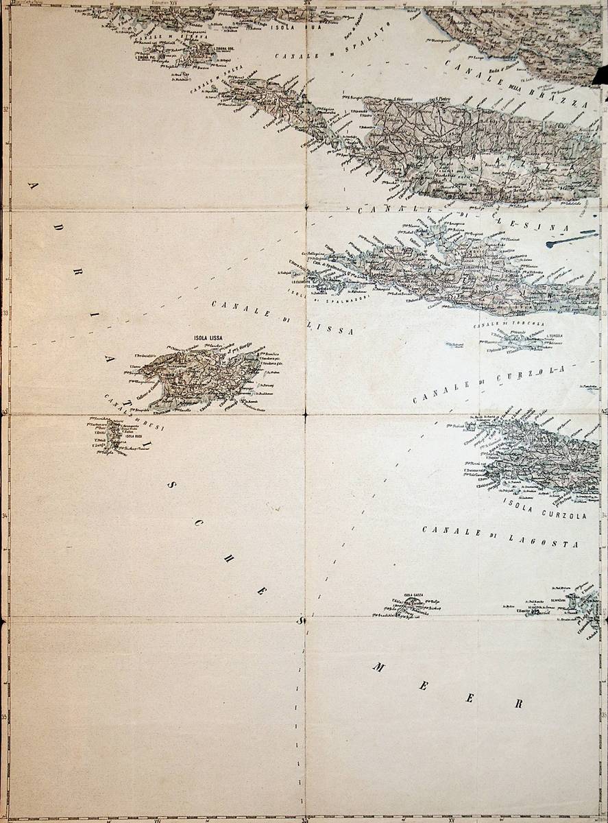
1894Best.-Nr. A141-1312Wien, Kaiserlich-K?nigliches Milit?r-Geographisches Institut, 1894. Hochformat, ca. 42 x 55 cm, gefaltet zu 16 Segmenten, Ausgabe: mehrf?rbig; Zustand: eine Fehlstelle mit Einriss am Rand, Falzkanten berieben, kleine L?cher an Falzecken, drei Tintenflecke
1914Best.-Nr. A141-1311Wien, Kaiserlich-K?nigliches Milit?r-Geographisches Institut, um 1914. Hochformat, ca. 42 x 55 cm, gefaltet zu 4 Segmenten, Ausgabe: mehrf?rbig; Zustand: gut +
1915Best.-Nr. A111-079Wien, Kaiserlich-K?nigliches Milit?r-Geographisches Institut, 1915. 2. Ausgabe, Hochformat, ca. 42 x 55 cm, Ausgabe: mehrf?rbig; Zustand: gut +
1915Best.-Nr. A111-071Wien, Kaiserlich-K?nigliches Milit?r-Geographisches Institut, 1915. Hochformat, ca. 42 x 55 cm, Ausgabe: mehrf?rbig; Zustand: gut
1913Best.-Nr. A111-052Wien, Kaiserlich-K?nigliches Milit?r-Geographisches Institut, 1913. Hochformat, ca. 42 x 55 cm,, Ausgabe: mehrf?rbig; Zustand: gut
1914Best.-Nr. A111-044Wien, Kaiserlich-K?nigliches Milit?r-Geographisches Institut, 1914. Hochformat, ca. 42 x 55 cm, Ausgabe: mehrf?rbig; Zustand: gut +
1908Best.-Nr. A111-043Wien, Kaiserlich-K?nigliches Milit?r-Geographisches Institut, 1908. Hochformat, ca. 42 x 55 cm, Ausgabe: mehrf?rbig; Zustand: gut +
1914Best.-Nr. A111-042Wien, Kaiserlich-K?nigliches Milit?r-Geographisches Institut, um 1914. Hochformat, ca. 42 x 55 cm, Ausgabe: mehrf?rbig; Zustand: gut +
1915Best.-Nr. A111-035Wien, Kaiserlich-K?nigliches Milit?r-Geographisches Institut, 1915. Hochformat, ca. 42 x 55 cm, Ausgabe: mehrf?rbig; Zustand: gut +
1900Best.-Nr. A141-1299Wien, Kaiserlich-K?nigliches Milit?r-Geographisches Institut, 1900. Hochformat, ca. 42 x 55 cm, gefaltet zu 4 Segmenten, Ausgabe: mehrf?rbig; Zustand: gut +
1893Best.-Nr. A141-1298Wien, Kaiserlich-K?nigliches Milit?r-Geographisches Institut, 1893. Hochformat, ca. 42 x 55 cm, gefaltet zu 8 Segmenten, Ausgabe: mehrf?rbig; Zustand: Titel auf R?ckseite aufkaschiert, ganz kleine L?cher an Falzecken entlang mittlerer senkrechter Falzkante, leichte br?unliche Flecken auf Meerfl?che, sonst gut
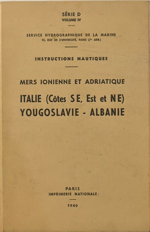
1969Best.-Nr. 3629Imprimerie nationale 1969 390 pages in8. 1969. reliure editeur. 390 pages. Ouvrage technique du Service Hydrographique et Océanographique de la Marine (SHOM) fournissant des informations nautiques détaillées pour la navigation le long de la côte sud-est de l'Italie et en mer Adriatique. Il complète les cartes marines avec des renseignements généraux pratiques et réglementaires essentiels pour les navigateurs