1 745 résultats
1939Pages 127-234. Features: James Whitcomb Riley in 1876; Frances Wright's Experiment with Negro Emancipation; A Civil War Story From Vevay; Facts From Old Postal-Route Books; The Educational Program of the New Harmony Memorial Movement; Indiana Historical Society; History Teachers' Forum - Does History Have Meaning?; Some Letters to William Plumer; A Visit to New Harmony in 1883; The Ocean Crossing of Vevay's Founders; A Southern Journey; and more. Moderate wear. Prior owner's stamp atop first page otherwise clean and unmarked with moderate wear. Binding intact. A quality vintage copy. Book
2001238 pages. Index. "Relive these lost but not-so-distant days with stories and never-before-published photos of the sailors and their ships, the dory fisherman, and the raging sea that are as lively and invigorating as salt spray." - from dust jacket. Usual library markings. Somewhat above-average wear. Front hinge open. A worthy reference copy of this wonderfully illustrated reference. Book
1991291 pages including index and 11 pages of colour photographic plates. Abundantly illustrated in black and white. In an easy and conversational style describes the origin, physical characteristics, and nature of the forces that act within and upon the eastern Pacific Ocean. Describes the origin, shape, and structure of the ocean floor as well as the development of coastlines and beaches. Carefully explains the complex movements of water masses, first in general terms and then specifically with regard to the various coastal regions of British Columbia. Describes the seasonal variations in salinity and temperature and, in a remarkably lucid manner, the complex interaction of planetary body forces which result in the variability of tides. Many of his own experiences as well as those of his colleagues are used to illustrate some of the more spectacular effects of water mass motions, such as the tidal rips in the northern Strait of Georgia, internal gravity waves in Knight Inlet, and the unique tidal whirlpools in Gilford Passage. These and many other aspects of coastal oceanography are presented in such a way that the excitement of the author for the nature of his work is transferred to the reader.... This book should have wide appeal. Not only is it suitable for scientists and their students, but should become a standard reference to be found in the libraries of commercial vessels as well as in the collections of yachtsmen. Although the author has no pretensions as to its evangelical significance, he has, with this book, made an outstanding contribution to the enjoyment of the coastal waters of British Columbia." - from Foreward by C.J. Yorath, Geological Survey of Canada. Chapters include: Historical Setting; The Coast Today; Tides and Tidal Streams; Secondary Currents; Upwelling - Bringing Cold Water to the Surface; Nature of Ocean Waves; Generation of Wind Waves; Shallow-Water Waves; Tsunamis (Tidal Waves); Strait of Georgia; Juan de Fuca Strait; Johnstone Strait Region; Deep-Sea Region; Northern Shelf Region. Clean and unmarked but for gift greetings inside front cover. Light wear externally. Nice tight and square copy. Book
195568 pages plus advertisements. Black and white illustrations. Features: 'Twixt Sea and Sand - Drama is the daily diet of those who man the lightships that keep the world's shipping off the dreaded Goodwins; Build or Die! - Describes Canadian Arctic Igloo Building Schools for airmen; Diamonds are Dangerous - Following upon secret investigations by Sir Percy Sillitoe, former head of M.I.5, the De Beers Corporation is said to be establishing a special staff to deal with the menace of the international traffic in stolen stones. Relates remarkable stories concerning diamond smugglers and the 'big men' behind them; Danger, Loco Adrift - A 65-ton locomotive slips its lashings upon the stormbound Norwegian s.s. Belpareil, causing terror aboard; Destination Unknown - Second Instalment of the remarkable post-war Asian adventures of Military Medal recipient Peter Pinney; The Rain Stoppers - In some parts of the world, natives are employed to stop the rain descending; Search for Living Gold - Author ventures to the Andes to acquire chinchilla; Ghost of the White Chief - South African farmer John Roberts and his marble life-sized statue to be opened upon his death; The Very Mysterious Eel- What strange impulse sends the eel thousands of miles out into the ocean to spawn - and die?; A Thousand Miles to Railhead - Motor Transport in North Australia, including photo of a 'road train' carrying 70 head of cattle; Horses on Snowshoes - How snowshoes have been adapted for use by horses, thereby easing the difficult transportation problems of the British Columbia wilderness; Jungle Hideout - Running from the Japanese, eating dog for dinner, teaching guerillas to sing - these are but a few of the adventures of Nona Baker who spent nearly four years in jungle hideouts in Asia; Paddy's Lapse - A Merchant Navy officer's account of a terrifying experience when his ten-thousand ton ship was heading straight for Lundy Island at ten knots; Between Ourselves - notes by the editor, including a prediction of helicopter logging in the future. Top third of back cover missing. Chips missing from spine. Somewhat above average wear. Fascinating tales. Magazine
réf. 018813[Philippe Briet, Parallela geographiae veteris et novae] La division de nostre océan - Afrique, Europe, Asie, Australie. Gravure originale, 1649, environ 240*170mm. Gravure tirée de l'ouvrage du savant jésuite Philippe Briet (1601-1668) publié en 1648-1649. Texte au dos. [437]
900Anchorages in the Solomon Islands. In the upper part of the chart insert of Hat horn Sound Sketch Survey to Lieut. Marx & Torlesse, H.M.S. "Swinger" and Lieut. Elton, H.M.S. "Diamond" 1884. North of Marx P.t by Lieut. Bower, H.M.S. "Danae", 1879. With additions from a Survey by Lieut. Comm. W.U Moore, H.M.S. "Dart" 1884, Hathorn Sound Sketch Survey by Lieut C. W. Beresford and S.V. Messum under the direction of Lieut. Comm. W.U. Moore, H.M.S. "Dart" 1884, Port Diamond or Sinarango Sketch survey by the Officers of H.M.S. "Diamond", 1886. under the direction of Captain F.S. Clayton, Choiseul Bay Surveyed By Lieut. C.F. Oldham and the Officers of H.M.S. Lark, 1883. In the lower part of the chart insert of Blanche Harbour Surveyed By Lieut. C.F. Oldham and the Officers of H.M.S. Lark, 188, Plan of the Anchorage, Bambatani From a rough Sketch by Lieut. G. Stapleton, H.M.S. "Torch"1900. London Published at the Admiralty, 30th Dec. 1884, under the Superintendence of Captain W.J.L. Wharton, Hydrographer. Small corrections: 1929. Autore: Admiralty Charts. Luogo: Salomon islands - Pacific Ocean. Anno: '900. Tecnica: incisione. Dimensioni: 450x623 mm
900Anchorages in the Solomon Islands. In the upper part of the chart insert of Pavuvu Islands (Russell Islands) Sketch Survey by Lieut. G.E. Richards and the Officers of H.M.S. Renard 1880. Pepesala (Paddy) Bay from a sketch by M.r F.J. Bayldon, "Maresby" 1908. In the lower part of the chart insert of Viru Harbour Preliminary Survey By Commander A.F. Balfour, Assisted by the Officers of H.M. Surveying ship "Penguin" 1893, Rendova Harbour Preliminary Survey By Commander A.F. Balfour, Assisted by the Officers of H.M. Surveying ship "Penguin" 1893. London Published at the Admiralty, 28th Jan. 1895, under the Superintendence of Rear Admiral W.J.L. Wharton, Hydrographer. Small corrections: 1921. Autore: Admiralty Charts. Luogo: Salomon Islands - Pacific Ocean. Anno: '900. Tecnica: incisione. Dimensioni: 649x484 mm
900Anchorages in the Solomon Islands. In the upper part of the chart insert of Sketch of the Islands in Manning Strait between Choiseul and Ysabel Islands By M.r W. Hamilton 1908. Ysabel I from a sketch survey by Lieutenant F.C.C. Pasco, H.M. Surveying Ship "Dart" 1902. Taura Bay from an Austrian Government Plan, 1897. In the lower part of the chart insert of Sketch of the Southern portion of Lord Howe Islands (Ongtong Java or Leueneuwa) By Lieutenant G. Stapleton H.M.S. "Torch", 1900. London Published at the Admiralty, 9th May 1901, under the Superintendence of Rear Admiral Sir W.J.L. Wharton, Hydrographer. Small corrections: 1921. Autore: Admiralty Charts. Luogo: Salomon Islands - Pacific Ocean. Anno: '900. Tecnica: incisione. Dimensioni: 457x659 mm
900Anchorages in the Solomon Islands Surveyed by Commander A.F. Balfour, assisted by the Officers of H.M. Surveying ship "Penguin" 1894. In the upper part of the chart insert of Marovo Lagoon. In the lower part of the chart insert of Mongo Entrance, Charapoana Entrance, Tongoro Entrance. London Published at the Admiralty, 24th Feb. 1896, under the Superintendence of Rear Admiral W.J.L. Wharton, Hydrographer. Small corrections: 1919. Autore: Admiralty Charts. Luogo: Salomon Islands - Pacific Ocean. Anno: '900. Tecnica: incisione. Dimensioni: 626x481 mm
900Anchorages in the Solomon Islands. In the upper left corner of the chart insert of Beaufort Bay From a Sketch by M.r T.H. Switzer Master Schooner Roderick Dhu, 1896, Sutulahia Anch.e Sketch Survey by Lieut. W.R. Willis H.M.S. "Ringdove" 1895. In the middle part of the chart insert of Vura Anchorage From a Sketch by M.r T.H. Switzer, Master, Schooner, "Roderick Dhu"1896, Narovo Island Surveyed by Lieut. C.F. Odham and the Officers of H.M. Surveying Ship "Lark" 1882. In the right part of the chart insert of Auki Harbour Surveyed by Lieut. Com. R.L. Hancock and the Officers of H.M. Surveying Vessel "Sealark" 1913, Albatros Bay From an Austrian Government Sketch Survey, 1897, Ngora Fu Harbour From a Sketch Survey by Lieut. G.P. Bigg-Wither and the Officers of H.M.S. "Pylades", 1905. London Published at the Admiralty 20th Feb. 1907, under the Superintendence of Rear Admiral A. Mostyn Field, Hydrographer.Small corrections: 1927. Autore: Admiralty Charts. Luogo: Salomon Islands - Pacific Ocean. Anno: '900. Tecnica: incisione. Dimensioni: 617x470 mm
900Anchorages in the Solomon Islands. In the left part of the chart insert of Kunggava Bay From a sketch by Lieut. Com. R. Crookshank, 1928, Queen Carola Harbour From a German Government Survey, 1883, Wanderer Bay By Capt. H.M. Denham, 1855. In the middle part of the chart insert of Port Adam By W. Hilliard, Master H.M.S. Havannah 1850, Mallu Harbour By M.r Haddock, 1877, Astrolabe Harbour By Mons.r Marescot, Enseigne de Vaisseau Corvette Astrolabe French Royal Navy 1838, Cockatoo Anchorage By T.C. Tilly, Master, H.M.S. Cordelia, 1861, Aowawa Roadstead By Capt. H.M. Denham, 1854. In the right part of the chart insert of Hada or Recherche Bay By T.C. Tilly, Master, H.M.S. Cordelia, 1861, Kwakwaru and Kwi Harbours Sketch by M.r W.T. Wawn 1888, Port Mary By Lieut. C.F. Oldham, 1882, Makira Bay By Capt. H.M. Denham, 1855, Hunter Roadstead By Capt. H.M. Denham, 1854, Popau H.r Sketch by M.r R. Haddock, 1877. London Published at the Admiralty March 10th 1864, under the Superintendence of Capt. G.H. Richards, Hydrographer. Small corrections. Autore: Admiralty Charts. Luogo: Salomon Islands - Pacific Ocean. Anno: '900. Tecnica: incisione. Dimensioni: 643x495 mm
900Anchorages in Ysabel Island. In the left side of the chart insert of Kesuo Cove Surveyed by Lieutenant F.C.C. Pasco, assisted by Lieuts. C.E. Stainer, R. Aylen and K. Mackenzie-Grieve, H.M. Surveying Ship "Dart" 1902. In the right side of the chart insert of Tunnibuli Surveyed by Lieutenant F.C.C. Pasco, assisted by Lieuts. C.E. Stainer, R. Aylen and K. Mackenzie-Grieve, H.M. Surveying Ship "Dart" 1902. London Published at the Admiralty, 21st Dec. 1903, under the Superintendence of Rear Admiral Sir W.J.L. Wharton, Hydrographer. Small corrections: 1919. Autore: Admiralty Charts. Luogo: Ysabel Island - Salomon islands - Pacific Ocean. Anno: '900. Tecnica: incisione. Dimensioni: 461x662.
900Anchorages in Ysabel Island. In the left side of the chart insert of Korrigole Harbour Surveyed by Lieutenant F.C.C. Pasco, assisted by Lieuts. C.E. Stainer, R. Aylen and K. Mackenzie-Grieve, H.M. Surveying Ship "Dart" 1902. In the right side of the chart insert of Vulavu Anchorage Surveyed by Lieutenant F.C.C. Pasco, assisted by Lieuts. C.E. Stainer, R. Aylen and K. Mackenzie-Grieve, H.M. Surveying Ship "Dart" 1902. London Published at the Admiralty, 11th Dec. 1903, under the Superintendence of Rear Admiral Sir W.J.L. Wharton, Hydrographer. Small corrections: 1920. Autore: Admiralty Charts. Luogo: Ysabel Island - Salomon islands - Pacific Ocean. Anno: '900. Tecnica: incisione. Dimensioni: 457x652 mm
900Rough Sketches of Anchorages in the Solomon Islands. By M.r W.T. Wawn, Master, Brigantine "Ariel", 1888. In the left side of the chart insert of Tasman I.s or Niumanno Atoll, Atta Cove, Ariel Harbour From a Survey by Lieut. A.L. Jackson, under the direction of Lieut. Com. R.L. Hancock, H.M. Surveying Ship "Sealark", 1914, Manna Kwoi H.r. In the middle part of the chart insert of Deep Bay, Uras Cove, North Sister Anchorage, Double Bay. In the right side of the chart insert of Maramasike Passage. London Published at the Admiralty, 7th Oct. 1889, under the Superintendence of Captain W.J.L. Wharton, Hydrographer. Small corrections: 1930. Folded editorially. Autore: Admiralty Charts. Luogo: Salomon Islands - Pacific Ocean. Anno: '900. Tecnica: incisione. Dimensioni: 512x741 mm
1886In 8. Dim. 19x12 cm. Pp. 281+(3). Interessante opera di viaggi del 1886 di Albert David che descrive il suo viaggio lungo l'Oceano Pacifico. All'interno sono presenti dieci incisioni fuori testo che mostrano vedute: Baie Borja, Lima, Indiani peruviani, Tahiti ecc... Tra i luoghi descritti: Distretto di Magellano e Canali laterali della Patagonia, Lima durante vl'occupazione cilena, Valparaiso e i Cileni dopo la Guerra del Pacifico, Peru e Cile, Callao, Pisco, Pisagua, Arica e Tacna, Iquique, Lota, Una necropoli degli Incas, Honolulu, Un mese a Noukahiva, Tahiti ecc... In buone condizioni e completo Copertina editoriale in buone condizioni generali con lievi usure ai margini e dorso. Legatura in buone condizioni. All'interno le pagine si presentano in buone condizioni con fioriture. Interesting work of travel of 1886 written by Albert David describing his travel in the Pacific Ocean. Inside there are ten out of text planches showing different views: Baie Borja, Lima, Peruvian Indians, Tahiti ecc... Between the places described: District of Magellano and channels of Patagonia, Lima during Chile occupation, Valparaiso and Cileni after Pacific war, Peru and Cile, Callao, Pisco, Pisagua, Arica e Tacna, Iquique, Lota, a city of Incas, Honolulu, a month in Noukahiva, Tahiti ecc... In good conditions and complete. Editorial cover in good general conditions slightly worn in the edges and spine. Binding in good conditions. Inside pages are in good conditions with foxings.
réf. 500344965EDITIONS DE CREMILLE Sans date. Le livre 'Pacifique Sud' de James A. Michener est un roman qui plonge le lecteur dans l'univers exotique de cette région évoquant les paysages l'océan et les îles. Il s'agit d'un voyage poignant qui met en lumière les marques indélébiles laissées par l'amour et la perte en temps de tourmente faisant du Pacifique Sud à la fois une scène de drame déchirant et un sanctuaire d'espoir
1987réf. 1107871987 Editions de l'Estran / Le Chasse-Marée - 1987 - In-4, cartonnage toilé vert sous jaquette illustrée en couleurs de l'éditeur - 297 p. - Très riche iconographie in et hors-texte en N&B
1992réf. 25139Editorial Océano 1992. unbound. Bueno. Grupo Editorial Océano. Barcelona 1988. 11 Volúmenes. E. Plástico decorado. 200 pp. Aprox. Por volúmen. 27x20. Recopilación selectiva ordenada y sistematizada de todos los conocimientos que se precisa adquirir en las etapas primaria y secundaria de la educación. Editorial Océano unknown
1853réf. 140891853 plaquette mauve grand in-octavo (mallow booklet in-octavo), dos manquant (is missing the spine), première et quatrième de couverture imprimées (front and back cover printed), gouttière en partie non coupée (fore-edge partly uncut), sans page de garde (without endpaper), page de faux-titre (half title page), texte à manchette (marginal note), illustration : 1 carte repliée en couleurs des "vents généraux dans l'Océan Indien" (a folding map in colours of General winds in Indian Ocean), très rares et légères piqûres (very rare and light points of redness marks), sans mouillure (without scar of waterstain), XIX+304 pages, 1853 à Paris Librairie Administrative de Paul Dupont,
1890réf. 1397Paris, Calmann-Lévy, 1890. In-12 de XVI-308 pp., cartonnage éditeur.
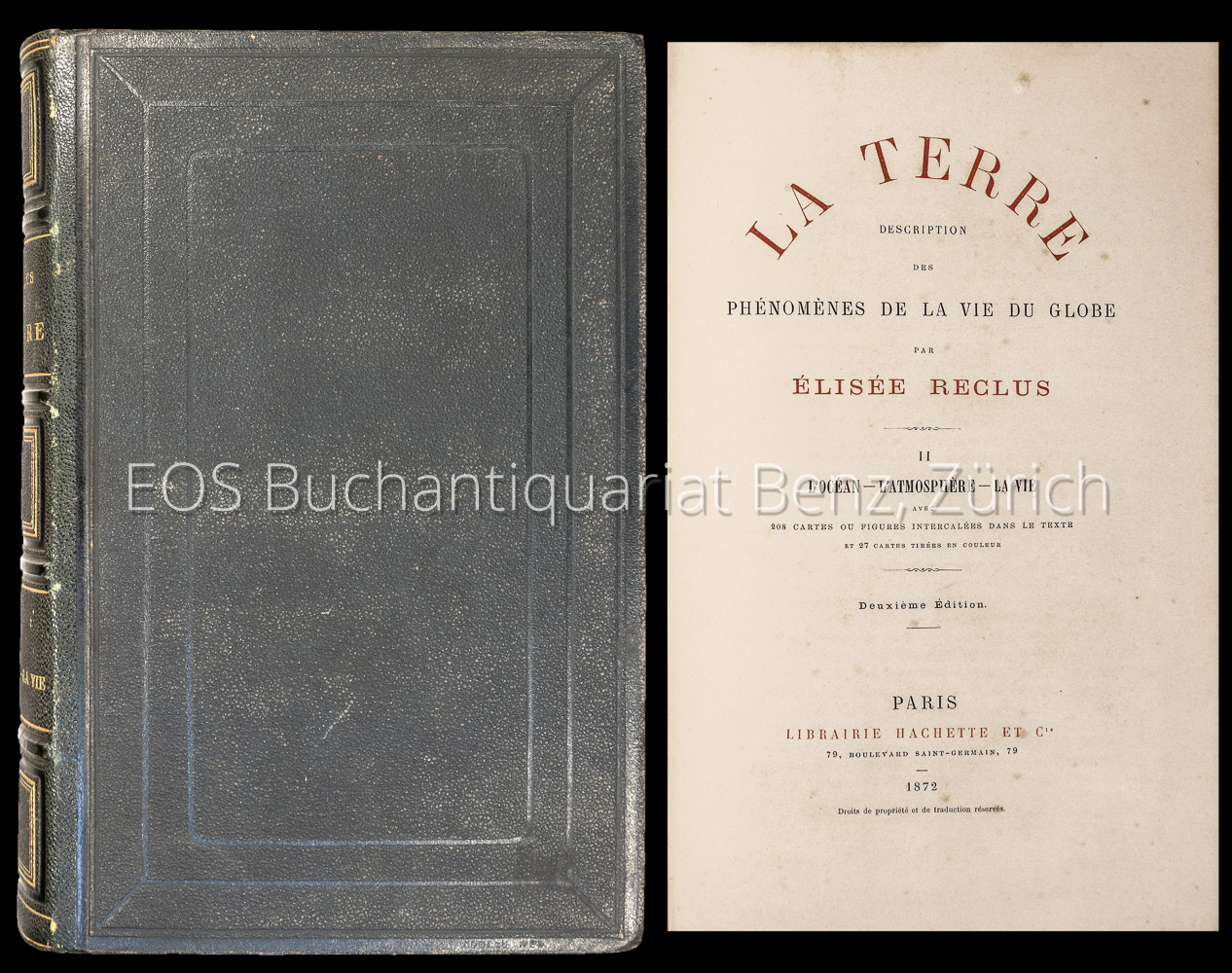
1872réf. 7106CBParis, Hachette, 1872. 8°. 742 S. Mit zahlr. Karten. Halblederband der Zeit. + Wichtig: Für unsere Kunden in der EU erfolgt der Versand alle 14 Tage verzollt ab Deutschland / Postbank-Konto in Deutschland vorhanden +, A|B [2 Warenabbildungen] 2e édition.
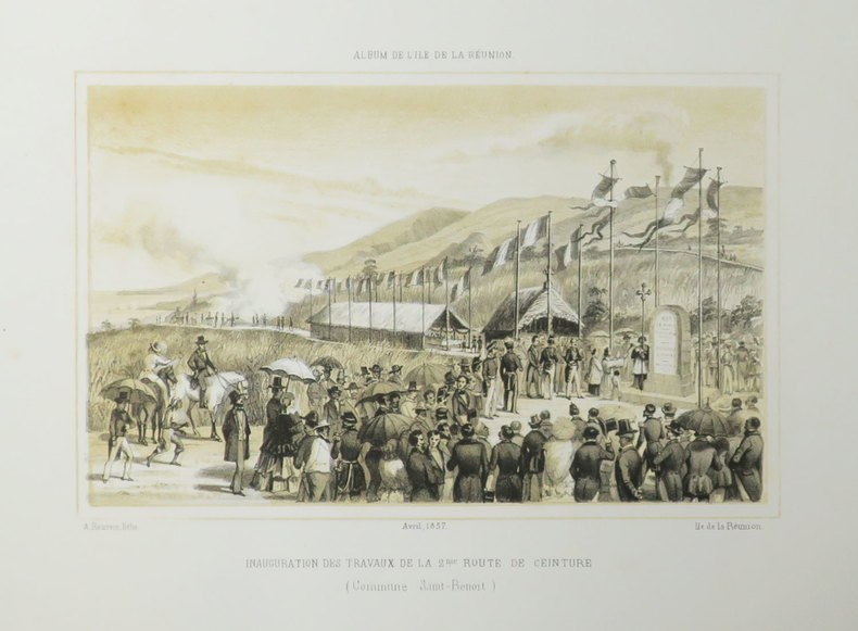
1857réf. LBW-3509[Saint-Denis, Île de la Réunion], 1857. 175 x 228 mm.
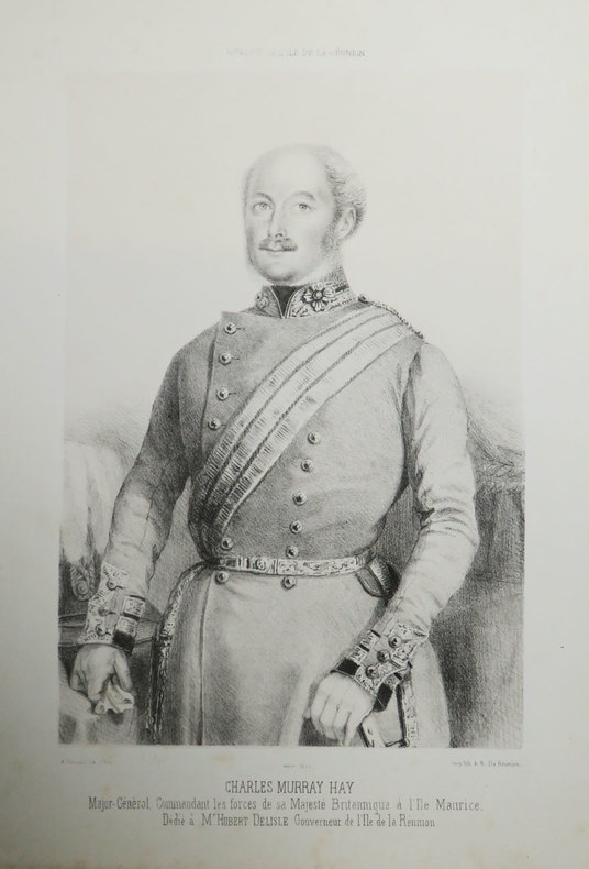
1855réf. LBW-3501[Saint-Denis, Île de la Réunion], 1855. 268 x 161 mm.
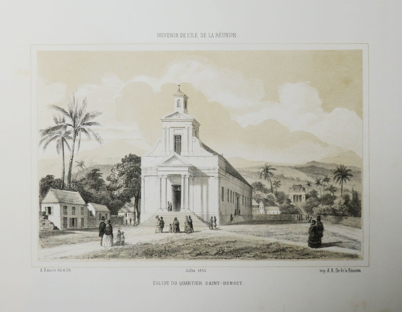
1856réf. LBW-3507[Saint-Denis, Île de la Réunion], 1856. 162 x 217 mm.
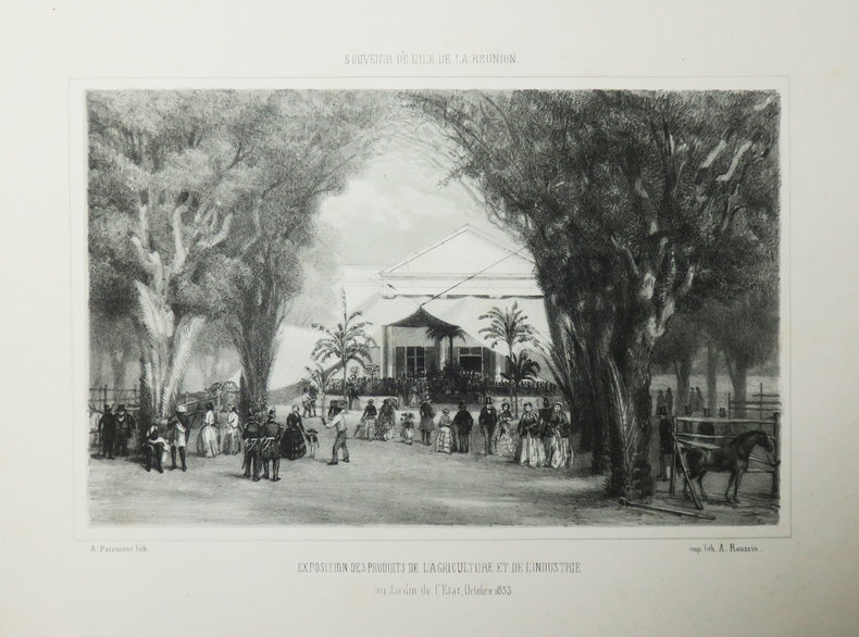
1853réf. LBW-3514[Saint-Denis, Île de la Réunion], 1853. 168 x 223 mm.