Multiple ContributorsMareMagnum

1.745 Ergebnisse
1911Pages 314-416 plus 24 pages of nice ads. Black and white photos and illustrations. Features: The Mystery of Grenville Park - The Countess Mannati D'Induno Olphert; Hunting the Wild Bull in New Zealand - D. W.O. Fagan; The Black Band - D.H. Low; A Houseboat on the Euphrates - John Horne; A Fight with a Golden Eagle - Frederic Lees; The "Zincali" Knife - H.J. O'Brien; An Ocean Death Trap; James G. McCurdy; Two Years Among Strange Tribes - Part I - W. Hilton-Simpson; The Adventures of "Babi" - W. Dingwall Fordyce; Our Trek Beyond the Zambesi - Part 5 - Mrs. Fred Maturin; The Sacrifice - D.D. Kennedy; A Church Built in a Day - H.J. Shepstone; A Nightmare Voyage - Chandos St. John Brenon; Across Unkown Labrador - Part 4 - H. Hesketh Prichard. Average wear. Unmarked. Binding intact. A sound vintage copy. Magazine
1983429 pages. Many reproductions of archival black and white photos. Signed and inscribed by author upon front free endpaper. Author was born in England in 1908 and came with his parents to Vancouver, B.C. in 1910. Through the balance of his life he lived in Ocean Falls, B.C., Birmingham, England, and Masset, B.C. Clean, bright and unmarked with light wear. An excellent copy of this informative and engaging B.C. biography. Book
900Ancient and original map of Malekula (Mallicolo) Island Southern part - The East Coast surveyed by Lieut. & Comm. G.C. Frederick, assisted by Lieut.ts H.J. Gedge, E.A. Day & H.B.T. Somerville, H.M. Surveying Ship "Dart" 1891. The South and Ambrym I surveyed by Lieut. & Comm. H.E. Purey-Cust, assisted by Lieut. s W. Pudsey-Dawson, F.C.C. Pasco & A.E.H. Marescaux H.M.Surveying Ship "Dart" 1893. The West Coast North of South West Bay from a Sketch Survey by Lieut. K. Dixon, assisted by M.r G.J. Pacey, Gunner, H.M.S. "Arker", 1903. Additions to Ambrym I. from a Survey by Lieut. Comm. R.L. Hancock and the Officers of H.M. Surveying Ship "Sealark" 1914. In the left side insert of Pangkumu Bay From a French Government Plan 1906. London Published at the Admiralty, 26th June 1893, under the Superintendence of Captain W.J.L. Wharton, Hydrographer. Small corrections: 1931. Folded editorially. Autore: Admiralty Charts. Luogo: Pacific Ocean South - Malekula Island. Anno: '900. Tecnica: incisione. Dimensioni: 650x985 mm
1907Sketches of Anchorages in the Tuamotu or Low Archipelago chiefly taken from the French Government charts to 1907. In the left side of the chart insert of Lagoon Entrance, Manihi Entrance, Avatoru Entrance, Tiputa Entrance, North passage to Rotoava , Passes into Amanu Atoll From the United States Goverment Chart, 1902, Pakaka Pass From the United States Government Chart, 1902. In the right side of the chart Lagoon Entrance, Amyot Bay, Mururoa Island, Fangahina I. From the United States Government Chart, 1902, Pakaka to Seignelay P.t.London Published at the Admiralty 9th July 1907, under the Superintendence of Rear Admiral A. Mostyn Field, Hydrographer. Small corrections: 1931. Autore: Admiralty Charts. Luogo: Tuamotu Islands - Polynesia - Pacific Ocean. Anno: 1907 [1931]. Tecnica: incisione. Dimensioni: 595x480 mm
900Tonga Islands From British surveys between 1888 and 1898. Washington D.C., published Jan. 1903, at the Hydrographic Office, under the authority of the Secretary of the Navy. Small corrections: Printed Oct. 1930. Folded editorially. Autore: Admiralty Charts. Luogo: Tonga Islands - Pacific ocean. Anno: '900. Tecnica: incisione. Dimensioni: 988x657 mm
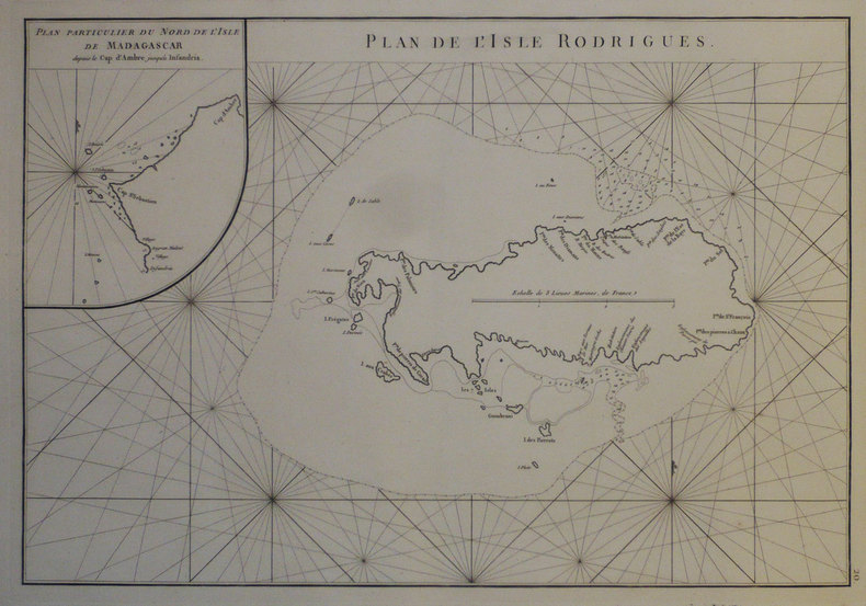
1775Best.-Nr. LBW-1276[1775-1781]. 331 x 482 mm.
1945106 pages. Oblong 7" x 10". Undated but appears to be circa 1945. Profusely illustrated with wonderful vintage black and white photos. "This is the story of Pacific Mills Limited and the most northerly located paper mill on the North American continent at Ocean Falls, B.C." - page 3. Name stamped atop title page otherwise unmarked with moderate external wear and soiling. A sound vintage copy of this important history. HALE 1230, EDWARDS & LORT 2700. Book
1944Best.-Nr. 103880Barry 1944 André Barry Editeur, 1944, 68 p., 16 hors-textes en couleurs in fine, feuillets libres sous chemise, exemplaire numéroté 536/610, dos de la chemise taché, bon état pour le reste et intérieur bien propre.
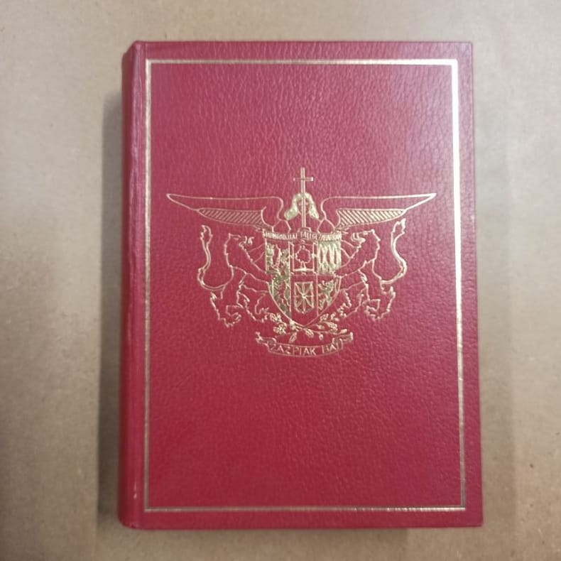
1979Best.-Nr. 5871979 - reliure - Société Nouvelle d'Editions Régionales et de Diffusion, Pau - 1979 - Fort in-4 (30 x 22 cm) reliure éditeur plein cuir rouge, avec cadre et décor doré au premier plat. Titre doré au dos - 671 pages - Très nombreuses photographies en noir et blanc hors texte + Cartes in fine - Louis COZZOLINO (Directeur de la rédaction) - Marguerite DEMANGEON (Reliure) - Monique MORALES (Cartographie) - Robert BRU (Photographie) - Ouvrage sous titré : "Le Pays Basque. Soule, Labourd, Basse-Navarre" - Tirage limité. Exemplaire nominatif, ouvrage numéroté N° 715, imprimé pour M et Mme Bernard ARDOHAIN
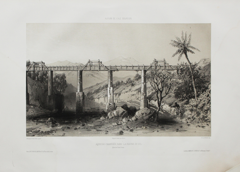
1850Best.-Nr. LBW-4470Paris, Victor Delarue et Ce, [circa 1850]. 240 x 333 mm.
1859Best.-Nr. PHO-1536Paris, Hachette, 1859. Grand in-8° (250x155mm), 759pp., frontispice dépliant, portrait, nombreuses illustrations H.T., 2 cartes dépliantes in fine, relié demi-chagrin, dos à faux nerfs, tranches dorées, frottements et coins usés.
Best.-Nr. 12334Le Triptyque, Poêmes de la Côte d'Argent. Préface de Jean Rameau. Edité à Paris chez Brochérioux en 1923. Pages introductives de Rosny Jeune, D'Annunzio, Planté et Derennes. Illustrations de Auburtin, Bergès, Delpech, Duprat, Gueit, Guignard, Mascré, Rappa, Sourgen. Portrait de Maurice Martin par Séverin Rappa en regard de la page de titre. In-4 broché dans sa couverture éditeur avec le 1er plat décoré d'un paysage des Landes avec l'Océan Atlantique au second plan, aquarelle de Roger Sourgen. Au dos, branche de pin aquarellée par A. Gueit. (initiales). TBE.
Best.-Nr. 4759Paris imprimerie de Gauthier villars sans date (1878) In4 (27cmX22cm) 22 pages - 2 grandes planches hors texte : carte de l'ile saint paul et hydrographie de l'ile saint paul. Reliure en mauvaise état, ancien cachet de l'observatoire de Montsouris.
Best.-Nr. ORD-9016Publié par ordre de S. A. S. le Prince Albert 1°. Imprimerie de Monaco. 1897. In-4 cartonnage éditeur un peu fatigué, VIII, 300pp. Tiré sur beau papier vergé filigrané aux Armes des Grimaldi. Envoi de la veuve de l'auteur.
1957Roy. 8vo., Fourth Edition, with coloured frontispiece, plates in monochrome, very numerous sail plans and other diagrams in the text, and endpaper maps; blue cloth, upper board blocked in gilt, gilt back, blue top (mildly faded), a very good, bright, clean copy in unclipped dusdtwrapper, the latter lightly chipped AT extremities. THIS COPY WAS FORMERLY IN THE LIBRARY OF DR. MICHAEL GILKES FRCS AND COMES WITH A SMALL ARCHIVE OF LETTERS AND EPHEMERA RELATING TO THE AUTHOR. The archive comprises (a) six T.L.s. and draft letters from Illingworth to Gilkes relating to participation in, and preparations for, the Newport-Bermuda Race 1962 in the yacht PHEROUSA. Several of the letters are on Illingworth & Primrose stationery. Among many other matters, Illingworth accepts Gilkes' suggestion that he manage the medical services; (b) Entry Form, Conditions, and General Information pamphlets for the Newport-Bermuda Race 1960. A SPLENDID ASSOCIATION COPY WITH VALUABLE MEMORABILIA OF ONE OF THE LEADING UK YACHT DESIGN PARTNERSHIPS OF THE PERIOD.
Best.-Nr. 53104583like new. unknown
1955Best.-Nr. 57750Paris France: Imprimerie Transatlantique 170 bis rue de charonne 1955. 4to. 9.5 x 12.75 in. 20 pp unpaginated. colour-printed throughout which folds out into 46.5 x 25 in. colour poster w/ photo illustrations text and double-page pictorial map on recto. Colour-illustrated softcovers w/ porthole image of the SS Antilles minor creasing to one corner still NF copy. First edition of this marvelously illustrated cutaway deck plan for the SS Antilles which had been completed in 1953 and eventually was placed on the West Indies Cruise service. The SS Antilles or her sister ship the SS Flandre appeared in the stock footge in the 1964 Perry Mason television episode “Nautical Knot” set near Acapulco Mexico. The double-page pictorial map showing her stops in the West Indies was executed by R. Bonnard. The ship hit rocks and caught fire in Lansecoy Bay in 1971 and all were evacuated to the island of Mustique and later rescued by the Queen Elizabeth 2. Imprimerie Transatlantique, 170 bis rue de charonne, paperback
18203 volumi, cm. 18, brossura editoriale, pag. XIV, 246 (su 248: manca ultima carta di indice) più ritratto in b/n; 267 più carta geografica rip. e 4 tavole f.t.; 274 (manca l'ultima c. con elenco delle tavole) più 6 tavole f.t. (manca la n° 4). La carta geografica riguarda le Isole Washington. Collana "Raccolta de' viaggi più interessanti eseguiti nelle varie parti del mondo, tanto per terra quanto per mare, dopo quelli del celebre Cook...". Ottimo esemplare.
1881Best.-Nr. PHO-887Hachette, Paris, 1881, 2 volume in-8 (230x170), vol. I: La carabine du roi; vol. II: La famille Coillard, 456 p. et 468 p. , relié demi basane verte , dos à nerfs avec auteur , titre et tomaison , dos frottés . Édition originale française de ce récit exploratoire de la première traversée de l’Afrique centrale d'ouest en est par un Européen. Elle est illustrée de 30 cartes et fac-similés et 244 gravures.
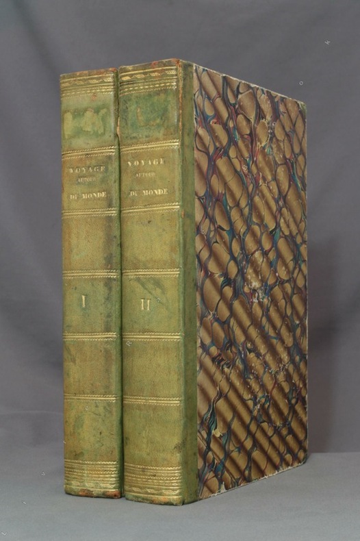
1834Best.-Nr. 8783Paris, L. Tenré et Henri Dupuy, 1834. 2 volumes in-4 de [4]-VIII-576 et [4]-584 pages, demi-basane verte, dos lisses ornés de filets dorés, traces d'étiquette dans la partie supérieure des dos, petite fente à un mors, coiffes, coupes et coins frottés, premier cahier du tome second légèrement déboîté, avec une petite mouillure.
2012Best.-Nr. x-019991589XOxford Univ Pr 2012. Hardcover. New. 602 pages. 9.13x6.57x1.10 inches. Oxford Univ Pr hardcover
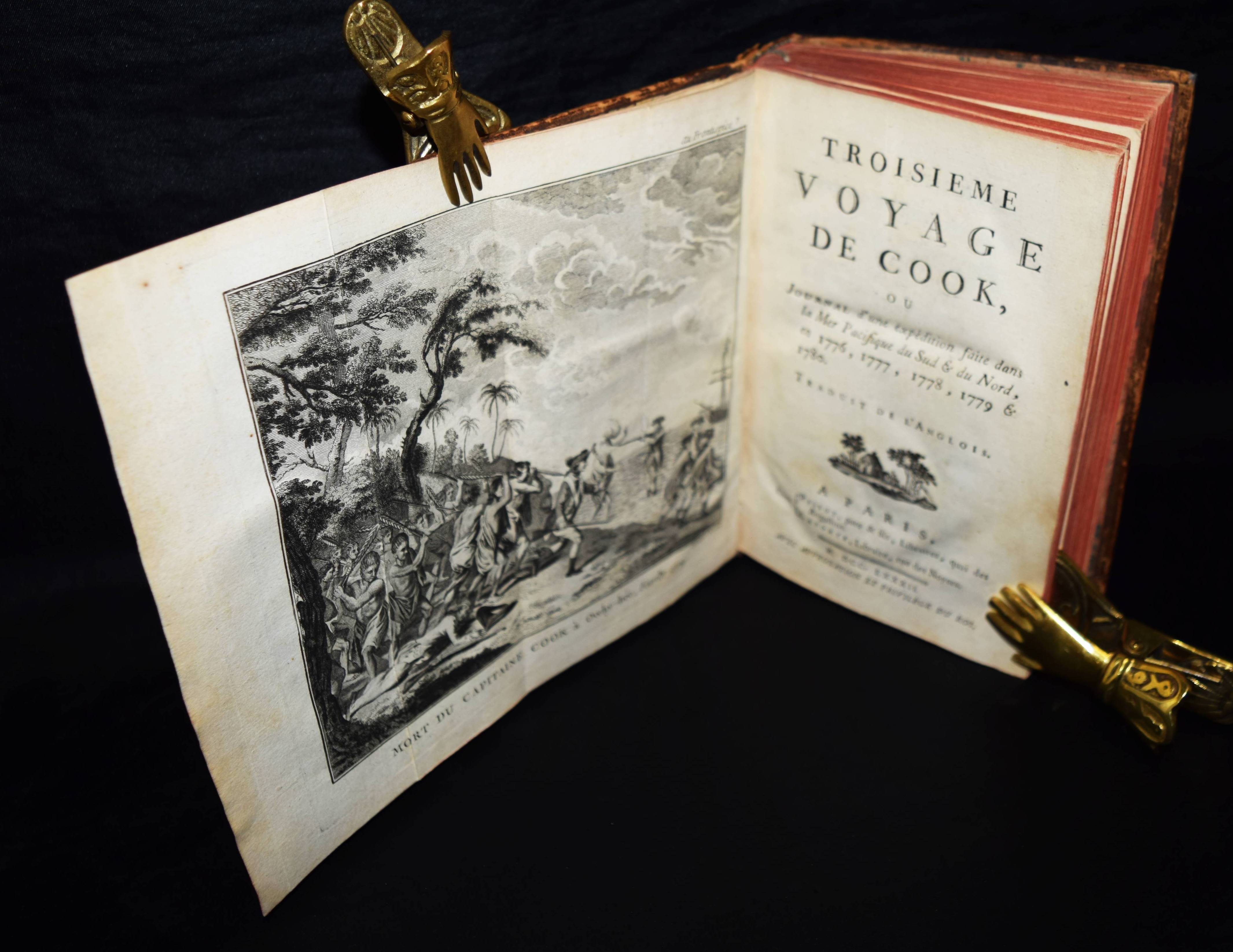
1782Best.-Nr. 106474BBParis, Pissot, pere & fils et Laporte, 1782. 8°. X, 508 S. mit gestoch. gefalt. Frontispiz u. 1 gefalt. gestoch. Karte. Kalbslederband der Zeit mit goldgepr. Rückenschild und floraler Rückenvergoldung. [4 Warenabbildungen]
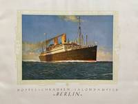
1925Best.-Nr. 57372Bremen: Norddeutscher Lloyd Bremen North German Lloyd Hofbuchdruckerei H.M. Hauschild 1925. Oblong 4to. 48 pp unpaginated. With colour frontisp. numerous photo plates decorative borders in green ink. Colour-illustrated softcovers cover art of the Brandenburg Gate in gilt blue blue & gilt borders globe logo at upper fore-edge dustsoiling shelfwear still VG copy. First edition of this scarce ocean liner promotional brochure for the SS Berlin built by Bremer Vulkan and commissioned in Sept. 1925 making the North German Lloyd Run from Bremen - Southampton - Cherbourg - New York. She would make runs until chartered by the Nazi Party in 1939 as a Party Cruise Ship and converted to Hospital Ship during World War II. These photographs show such amenities for first class passengers as spacious promenades salons writing room library nicely appointed staterooms and exercise gym. The accommodations for 2nd & 3rd Class passengers were decidedly poorer. The ship was salvaged by the Soviet Union in 1949 and served as the Admiral Nakhimov a cruise ship transported soldiers to Cuba during the Cuban Missile Crises was later rammed and sunk by the Soviet freighter Pyotr Vasev and 423 of the 1234 on board perished. Norddeutscher Lloyd Bremen, North German Lloyd, [Hofbuchdruckerei H.M. Hauschild], paperback
2019Best.-Nr. 006211UK: Royal Academy of Arts. A Superb UK First Edition & First Printing large format paperback original - The first monograph to bring together works by the artist Humphrey Ocean RA from the early 1970s to the present day with an extensive essay by the art historian and curator Ben Thomas - All my books are always securely packed with plenty of bubblewrap in professional boxes and promptly dispatched within 2-3 days - SIGNED BY HUMPHREY OCEAN - Pictures of the book are available upon request. . Fine. Soft cover. 1st Edition. 1st Printing. 2019. Royal Academy of Arts paperback
1939pp. [42]. "Commemorating the visit to Victoria [B.C.] of their majesties King George VI and Queen Elizabeth." - front cover. This visit took place in May 1939 as part of a major North American tour at a time when another major war in Europe seemed imminent. Queen Elizabeth II took part in the tour and is said to have 'lost her heart to Canada and Canadians' as a result. Oblong 9" x 12". Each page contains a black and white reproduction of a photo of a noteworthy site in the Victoria region or up-island. Some noteworthy details include angle parking on Douglas and Yates, jaunty men's golf fashions of the day, a marvelous view of Saanich farm lands from Mount Douglas, the Italian gardens and residence of Mr. Butchart, tall timber along Cowichan Bay Road, the Malahat Drive alongside Goldstream, and a day's catch of huge fish near Victoria. Unmarked with moderate wear. A quality copy of this excellent memento and snapshop of life in Victoria and on Vancouver Island in 1939. Not listed in Edwards & Lort. Book