1 863 résultats
1979réf. 65988United States 1979. Presumed first edition/first printing. Hardcover. Very good. No dust jacket. viii 801-1333 p. Includes: illustrations diagrams. Volume 2 ONLY. This sumposium was cosponsored by the Defense Mapping Agency and the National Ocean Survey. It was hosted by the Aplied Research Laboratories and held at the University of Texas at Austin. Volume II includes Session IV on Terrestrial Adjustments Session V on Advanced Systems the Closing Session and the Symposium Scrapbook of photographs countries representated and the list of attendees. United States hardcover
1869réf. FD18-512Paris, Gauthier - Villars, 1869. later half- cloth binding, 8?, 46 p., Bibliothekstempel / bibliotheekstempel / cachet de biblioth?que / librarystamp, a good copy
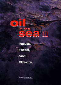
2003réf. BN621003National Academies Press 2003. 2003. Hardcover. Oil in the Sea III: Inputs Fates and Effects Oil Spill Prevention and Response and Deepwater Horizon Oil in the Sea III: Inputs Fates and Effects Oil Spill Prevention and Response and Deepwater Horizon National Research Council Transportation Research Board Division on Earth and Life Studies Marine Board Ocean Studies Board et Committee on Oil in the Sea Inputs Fates and Effects National Academies Press hardcover
réf. ORD-4222Histoire anecdotique des exéditions françaises de 1885 à 1895. Tamatave. Majunga. Diégo-Suarez. <ambohimarina. Marovoay. Mevatane. Suberbieville. Tsarasaotra. Andriba. Tsaininandry. Ambohimena. 121 gravures en couleurs par L. BOMBLED, cartes et plans. Paris. Garnier. s.d. Fort in-8 (185 x 275mm) dos lisse basane rouge, filetsd et titre or, plats mouchetés, 3ff.n.ch. (fx-titre, frontispice et titre), 960, (4) pages. Bien complet des gravures en couleurs, quelques-unes hors texte et des 13 cartes ou plans. Petits défauts mais état exceptionnel pour ce genre d'ouvrage.
1935Carta geografica, racchiusa in decoartiva cornice, raffigurante l'oceano Pacifico utilizzando la proiezione cilindrica di Mercatore. In alto al centro, il titolo si trova inscritto in semplice riquadro con indicazione dei segni convenzionali utilizzati per indicare le tratte aeree, le linee ferroviarie, i principali prodotti esportati dai differenti paesi, le rotte oceaniche, i confini di stato e le capitali degli stati o delle colonie. Al centro una semplice e decorativa rosa dei venti, mentre lungo il margine inferiore si trovano sei spot circolari in sono raffigurati in particolare: Singapore, Hong-Kong, Manila, Vladivostok, Tokyo e le Isole Hawai.Particolarmente interessante è la raffigurazione della sezione nord-orientale della Cina ed in particolare delle attuali province di Jilin, Liaoning e Heilongjiang.Pieghe editoriali ed alcuni vecchi restauri alle pieghe che non compromettono il buono stato di conservazione generale e l'ottima fruibilità della carta stessa.
réf. ORD-17916Paris. Firmin Didot. Collection Courtellemont. Non daté, vers 1900. In-4 (244 x 318 mm dos à 5 nerfs et coins chagrin rouge à grains fins, filets et titre dorés, plats jaspés, gardes marbrées, couverture illustrée conservée, 218 pages, 149 illustrations prises d'après nature par Gervais Courtellemont avec des plaques photographiques de la Maison Lumière de Lyon. Impression sur papier glacé. Petite tache claire sur la page de titre sinon bel exemplaire.
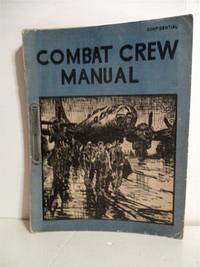
1945réf. 5-1404Adj Gen. Division May 1945 1945. Abourt 200p. Illustrations. Oversize. Blue Wraps. Stenciled type production. Copy of Lt Patrick F. Vaccucu AC March 1945. Binding clip. Illustration of B-29 and crew on the front. Very Good Copy. 1st. Paperback. Very Good. Adj, Gen. Division, May, 1945 Paperback
1902large 8vo [23.5 x 16 cm]; xxiv, 328 pp, photogravure frontis of the ship, 98 illustrations on 58 plates, folding map, bibliog, tables, index. later green morocco-backed boards, gilt spine title lettering, gilt decorations on raised bands, very lightly foxed on few leaves, mostly marginal, near fine sound copy in handsome binding. A picture of this book is available upon request by email. Wood p. 184. Most of the book is a quality narrative of the voyage in the Indian Ocean, including Laccadive Sea, Bay of Bengal and Andaman Sea. Also included is a history of the ship "Investigator" and its use in gathering information on natural history over more than a decade, with the final section being on the marine biology of the Indian seas. The illustrations are of fish and other marine creatures, An important study and interesting narrative.
2026réf. x-9819827329World Scientific Publishing Co Pte Ltd 2026. Hardcover. New. 496 pages. 6.24x1.36x9.24 inches. World Scientific Publishing Co Pte Ltd hardcover
réf. 9502Panorama d’Alexandra EXTER en premier tirage, de format in 4 cartonné carré, cartonné, double face, 10 planches en couleurs et 8 pages de texte illustrés de Marie COLMONT, villes villages cubistes 240x25cm en accordéon. Ernest Flammarion 1938 album du Père Castor, très bon état, coloris superbes
1818In-16 p. (mm. 163x95), 2 volumi in 1 tomo, mz. pelle coeva, fregi e titolo oro su tassello al dorso, pp. XXII,231; 246,(2); corredato fuori testo, come da Indice, di un ritratto dell'A., 1 carta geografica, più volte ripiegata, delle isole Pelew e 8 belle tavole a colori fuori testo, inc. in rame. “Composta sui giornali, e sulle notizie comunicate dal capitano Enrico Wilson e da alcuni de' suoi uffiziali che in Agosto del 1783 vi fecero naufragio sull'Antelope, nave mercantile della compagnia inglese delle Indie Orientali”. L’opera fa parte della “Raccolta di viaggi dopo quelli di Cook” eseguiti tanto per mare quanto per terra, e non pubblicati finora in lingua italiana (Tomi V-VI). Esempl. ben conservato.
1911Pages 314-416 plus 24 pages of nice ads. Black and white photos and illustrations. Features: The Mystery of Grenville Park - The Countess Mannati D'Induno Olphert; Hunting the Wild Bull in New Zealand - D. W.O. Fagan; The Black Band - D.H. Low; A Houseboat on the Euphrates - John Horne; A Fight with a Golden Eagle - Frederic Lees; The "Zincali" Knife - H.J. O'Brien; An Ocean Death Trap; James G. McCurdy; Two Years Among Strange Tribes - Part I - W. Hilton-Simpson; The Adventures of "Babi" - W. Dingwall Fordyce; Our Trek Beyond the Zambesi - Part 5 - Mrs. Fred Maturin; The Sacrifice - D.D. Kennedy; A Church Built in a Day - H.J. Shepstone; A Nightmare Voyage - Chandos St. John Brenon; Across Unkown Labrador - Part 4 - H. Hesketh Prichard. Average wear. Unmarked. Binding intact. A sound vintage copy. Magazine
1983429 pages. Many reproductions of archival black and white photos. Signed and inscribed by author upon front free endpaper. Author was born in England in 1908 and came with his parents to Vancouver, B.C. in 1910. Through the balance of his life he lived in Ocean Falls, B.C., Birmingham, England, and Masset, B.C. Clean, bright and unmarked with light wear. An excellent copy of this informative and engaging B.C. biography. Book
900Ancient and original map of Malekula (Mallicolo) Island Southern part - The East Coast surveyed by Lieut. & Comm. G.C. Frederick, assisted by Lieut.ts H.J. Gedge, E.A. Day & H.B.T. Somerville, H.M. Surveying Ship "Dart" 1891. The South and Ambrym I surveyed by Lieut. & Comm. H.E. Purey-Cust, assisted by Lieut. s W. Pudsey-Dawson, F.C.C. Pasco & A.E.H. Marescaux H.M.Surveying Ship "Dart" 1893. The West Coast North of South West Bay from a Sketch Survey by Lieut. K. Dixon, assisted by M.r G.J. Pacey, Gunner, H.M.S. "Arker", 1903. Additions to Ambrym I. from a Survey by Lieut. Comm. R.L. Hancock and the Officers of H.M. Surveying Ship "Sealark" 1914. In the left side insert of Pangkumu Bay From a French Government Plan 1906. London Published at the Admiralty, 26th June 1893, under the Superintendence of Captain W.J.L. Wharton, Hydrographer. Small corrections: 1931. Folded editorially. Autore: Admiralty Charts. Luogo: Pacific Ocean South - Malekula Island. Anno: '900. Tecnica: incisione. Dimensioni: 650x985 mm
1907Sketches of Anchorages in the Tuamotu or Low Archipelago chiefly taken from the French Government charts to 1907. In the left side of the chart insert of Lagoon Entrance, Manihi Entrance, Avatoru Entrance, Tiputa Entrance, North passage to Rotoava , Passes into Amanu Atoll From the United States Goverment Chart, 1902, Pakaka Pass From the United States Government Chart, 1902. In the right side of the chart Lagoon Entrance, Amyot Bay, Mururoa Island, Fangahina I. From the United States Government Chart, 1902, Pakaka to Seignelay P.t.London Published at the Admiralty 9th July 1907, under the Superintendence of Rear Admiral A. Mostyn Field, Hydrographer. Small corrections: 1931. Autore: Admiralty Charts. Luogo: Tuamotu Islands - Polynesia - Pacific Ocean. Anno: 1907 [1931]. Tecnica: incisione. Dimensioni: 595x480 mm
900Tonga Islands From British surveys between 1888 and 1898. Washington D.C., published Jan. 1903, at the Hydrographic Office, under the authority of the Secretary of the Navy. Small corrections: Printed Oct. 1930. Folded editorially. Autore: Admiralty Charts. Luogo: Tonga Islands - Pacific ocean. Anno: '900. Tecnica: incisione. Dimensioni: 988x657 mm
1775réf. LBW-1276[1775-1781]. 331 x 482 mm.
1945106 pages. Oblong 7" x 10". Undated but appears to be circa 1945. Profusely illustrated with wonderful vintage black and white photos. "This is the story of Pacific Mills Limited and the most northerly located paper mill on the North American continent at Ocean Falls, B.C." - page 3. Name stamped atop title page otherwise unmarked with moderate external wear and soiling. A sound vintage copy of this important history. HALE 1230, EDWARDS & LORT 2700. Book
1944réf. 103880Barry 1944 André Barry Editeur, 1944, 68 p., 16 hors-textes en couleurs in fine, feuillets libres sous chemise, exemplaire numéroté 536/610, dos de la chemise taché, bon état pour le reste et intérieur bien propre.
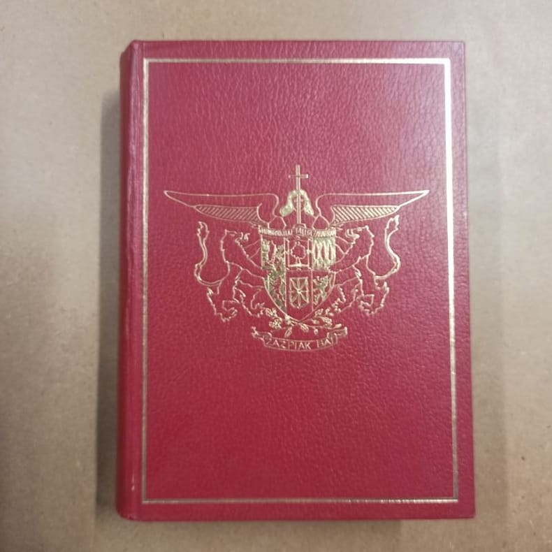
1979réf. 5871979 - reliure - Société Nouvelle d'Editions Régionales et de Diffusion, Pau - 1979 - Fort in-4 (30 x 22 cm) reliure éditeur plein cuir rouge, avec cadre et décor doré au premier plat. Titre doré au dos - 671 pages - Très nombreuses photographies en noir et blanc hors texte + Cartes in fine - Louis COZZOLINO (Directeur de la rédaction) - Marguerite DEMANGEON (Reliure) - Monique MORALES (Cartographie) - Robert BRU (Photographie) - Ouvrage sous titré : "Le Pays Basque. Soule, Labourd, Basse-Navarre" - Tirage limité. Exemplaire nominatif, ouvrage numéroté N° 715, imprimé pour M et Mme Bernard ARDOHAIN
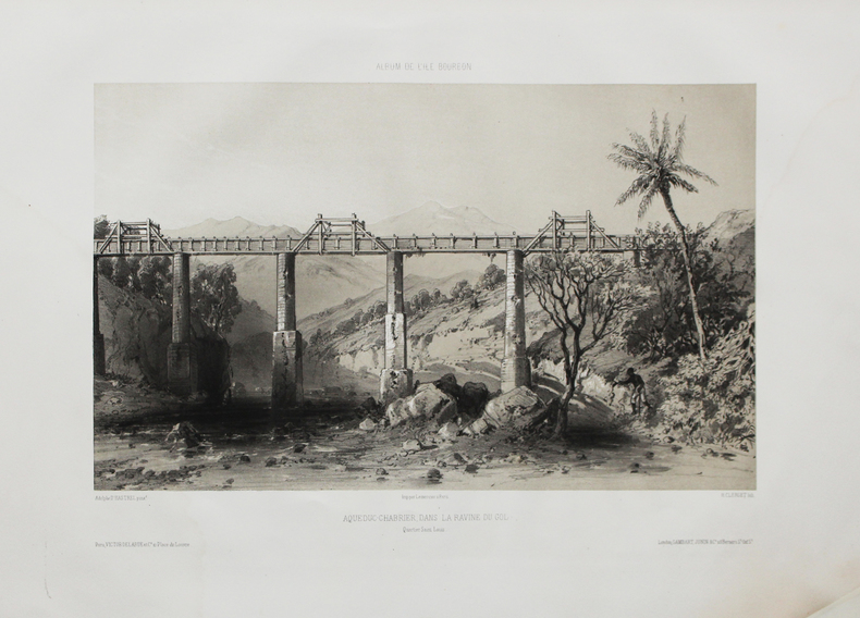
1850réf. LBW-4470Paris, Victor Delarue et Ce, [circa 1850]. 240 x 333 mm.
1859réf. PHO-1536Paris, Hachette, 1859. Grand in-8° (250x155mm), 759pp., frontispice dépliant, portrait, nombreuses illustrations H.T., 2 cartes dépliantes in fine, relié demi-chagrin, dos à faux nerfs, tranches dorées, frottements et coins usés.
réf. 12334Le Triptyque, Poêmes de la Côte d'Argent. Préface de Jean Rameau. Edité à Paris chez Brochérioux en 1923. Pages introductives de Rosny Jeune, D'Annunzio, Planté et Derennes. Illustrations de Auburtin, Bergès, Delpech, Duprat, Gueit, Guignard, Mascré, Rappa, Sourgen. Portrait de Maurice Martin par Séverin Rappa en regard de la page de titre. In-4 broché dans sa couverture éditeur avec le 1er plat décoré d'un paysage des Landes avec l'Océan Atlantique au second plan, aquarelle de Roger Sourgen. Au dos, branche de pin aquarellée par A. Gueit. (initiales). TBE.
réf. 4759Paris imprimerie de Gauthier villars sans date (1878) In4 (27cmX22cm) 22 pages - 2 grandes planches hors texte : carte de l'ile saint paul et hydrographie de l'ile saint paul. Reliure en mauvaise état, ancien cachet de l'observatoire de Montsouris.
réf. ORD-9016Publié par ordre de S. A. S. le Prince Albert 1°. Imprimerie de Monaco. 1897. In-4 cartonnage éditeur un peu fatigué, VIII, 300pp. Tiré sur beau papier vergé filigrané aux Armes des Grimaldi. Envoi de la veuve de l'auteur.