1858 risultati
1985In 8, cm. 16 x 23, pp. 224, con numerose carte geografiche in bianco e nero nel testo di una a doppia pagina, e 80 illustrazioni a colori su carta patinata fuori testo. Legatura in tela editoriale, sovraccoperta con alette informative illustrata. Carte di guardia illustrate in bianco e nero. Leggero ingiallimento delle pagine. In buone condizioni.
1958Tela c/sovraccoperta, cm13x19, pp 335 (17); una tavola all'antiporta, una cartina ripiegata e un disegno al tratto nel testo. Coll. Il Cammeo #124.
1934In 8. Dim. 26,5x20 cm. Pp. XII+777. Peso Kg. 2,700. Bel volume del 1934 sugli oceani e l'Oceania scritto da Roberto Almagia e Ferdinando Milone. All'interno sono presenti sette carte geografiche a colori e in nero 12 tavole in calcocromia e 602 figure. In discrete condizioni. Copertina in tela editoriale in ottime condizioni generali con lievi usure ai margini e dorso. Legatura in ottime condizioni. All'interno le pagine si presentano in buone condizioni con rare fioriture. Parti mancanti in particolare a pag. 96 e 97. Beautiful volume of 1934 about Oceans and Oceania written by Roberto Almagia and Ferdinando Milone. Insdie teher are seven colourd and black and white maps and 12 planches in calcochromy and 602 figures. In fair conditions. Cloth editorial cover in very good general conditions slightly worn in the edges and spine. Binding in very good conditions. Inside pages are in good conditions with occasional foxings. Missing parts in some pages in particular in pages 96 and 97.
1973In-8, 10 volumi, similpelle editoriale con sovracoperta a colori, di circa 300 pagine ogni volume e numerosissime Illustrazioni in bianco e nero e a colori nel testo. In buono stato (good copy).
rif. 12400607-75National Academies Press. Used - Very Good. Former library copy. Pages intact with possible writing/highlighting. Binding strong with minor wear. Dust jackets/supplements may not be included. Includes library markings. Stock photo provided. Product includes identifying sticker. Better World Books: Buy Books. Do Good. National Academies Press unknown
rif. 0805236910.Gpaperback. Good. Access codes and supplements are not guaranteed with used items. May be an ex-library book. paperback
1932rif. 62783New York New Orleans Boston Chicago San Francisco & Miami: United Fruit Company Steamship Company Newcomb Printing Co. Inc. 1932. Tall 8vo. 7.2 x 9.5 in. 30 2 pp. printed in black & gold. With photo illustrations throughout gold borders decorations double-page centerfold pictorial map. Gold & black illustrated softcovers Art Deco cover art depicting a Great White Fleet ship minor rubbing shelfwear slight bumping to lower right corner still a VG bright copy. First edition of this beautifully illustrated Art Deco brochure for the Great White Fleet which featured spacious white yacht-like steamships offering dependable year-round service from New York New Orleans and Boston to Havana & Santiago Cuba; Kingston Jamaica; Cristobal Panama Canal Zone; Port Limon Costa Rica; Cartagena Puerto Colombia and Santa Marta Colombia; Puerto Barrios Guatemala and Honduras and British Honduras. United Fruit Company Steamship Company, [Newcomb Printing Co., Inc., paperback
1995rif. 275951PN. New. 1995. Soft Cover. Date is original print. This is a reprint edition . PN paperback
2002rif. GEO4112MRelié, 400 pages, paru le 3 octobre 2002 chez Solar (Nouvelle édition mise à jour), livre en très bon état général, jaquette présentant de légères marques d'usage, intérieur frais.
rif. 8449420156.Gpaperback. Good. Access codes and supplements are not guaranteed with used items. May be an ex-library book. paperback
in-8 etroit, 193 pp., broche, couverture illustree. Bel exemplaire. [AZ-11]
1952276p., illus. Book review clipping in handmade pocket on recto of rear free endpaper Hardcover Ex-Library in good condition
1952276p., illus. Signed by the author. Hardcover Very good condition good
1952276p., illus. Signed by the author. Hardcover Good condition
rif. a77647Five individual menus each on heavy card stock each 12 x 18 inches folded in half once. Front panel on each menu is color illustration painted by C. Macouillard. VG plus. Clean and bright almost no wear at all. . unknown
900Guadalcanal and Florida I.s with a portion of Malaita I. The South coast of Florida I. and North coast of Guadalcanal including Savo I are from Surveys by Commander R.W. Glennie and the Officers of H.M. Surveying Ship "Sealark", 1910-12, the remainder of the work is from various rough and imperfect sketch surveys of earlier date. West coast of Malaita I and Alite Reef, adjusted to positions determined by Lieut. Com. R.L. Hancock & the Officers of H.M.S. "Sealark", 1914. London Published at the Admiralty, 6th Nov. 1893, under the Superintendence of Captain W.J.L. Wharton, Hydrographer. Large corrections 10 th Jan. 1930. Interesting map of Guadacanal in which the capital Honiara is missing because it will be constructed only afet the second world war. Folded editorially. Autore: Admiralty Charts. Luogo: Guadalcanal - Solomon Islands - Pacific Ocean. Anno: '900. Tecnica: incisione. Dimensioni: 658x983 mm
1931rif. 71951931 Paris société d éditions géographiques maritimes et coloniales 1931 In12 reliure éditeur pleine toile cote des somalis par Pierre rousset 39 pages - PH May Ile de la réunion 65 pages, établissement français des Indes 35 pages Marguerite Verdat établissements français d l océanie 73 pages établissements français du pacifique austral 68 pages Photographies dans le texte plan de St Denis 3 planches dépliantes dans le texte 2 planches dépliantes en fin de volume
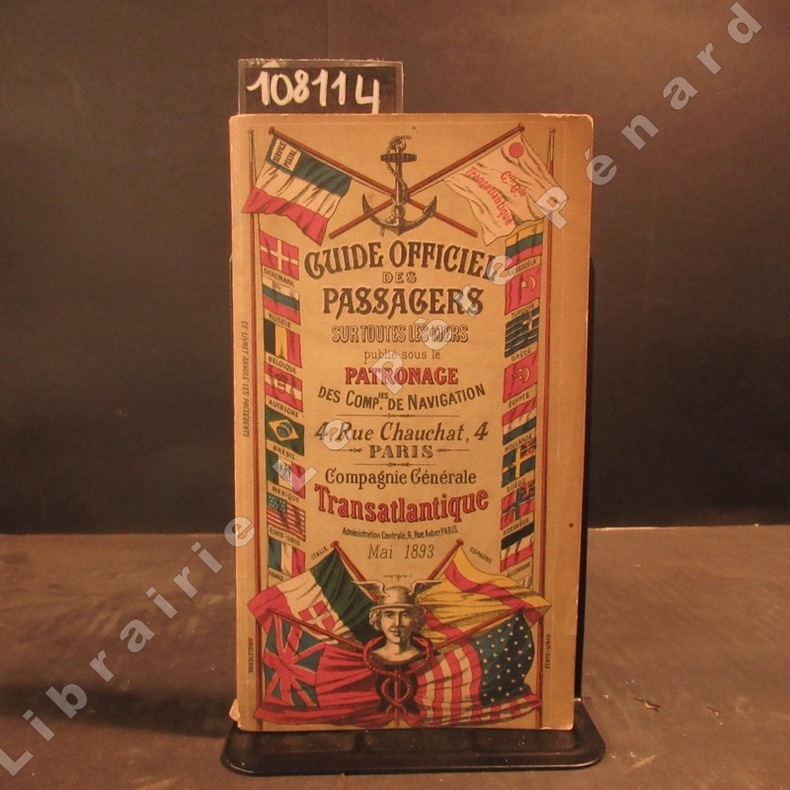
1893rif. 1081141893 A Paris, Compagnie Générale Transatlantique - 1893 - In-8, broché, couverture illustrée en couleurs - 312 p. - Quelques illustrations, reproductions photographiques et cartes en N&B
rif. OCE79MCentre culturel Tjibaou. 2003. In-12, broché, couverture à rabats, 79pp. Agréable exemplaire
rif. OCE88MEditions du Pacifique, 1997. In-8, relié, cartonnage éditeur illustré, 160pp. Nombreuses photos couleur principalement hors textes. Premières pages épidermées. Coins émoussés. Bon exemplaire
rif. OCE89MEditions du Pacifique, 1997. In-8, relié, cartonnage éditeur vert illustré, 160pp. Nombreuses photographies couleurs (princpialement hors textes) de la faune et de la flore sous-marine de Nouvelle-Calédonie. Très bon exemplaire
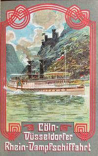
1907rif. 59689Berlin: Hamburg-American Line J. Hermann Herz 1907. 12mo. 887 1 pp. Approx. 920 pp. including inserts duplicate numbering inserts. With 22 colour inserts plates chromolithograph folding panoramas chromolith pictorial maps colour-printed inserted ads numerous photo plates plates illustrated ads street maps maps. Pictorial red publisher’s cloth gilt black & white lettering front cover black advertising lettering spine & back cover minor shelfwear chipping & faint reinforcement to ffep. uniform interior toning as usual slight offsetting to a couple of the chromolith inserts ex-lib marking foot of spine title still G copy. Eighth edition of this detailed and nicely illustrated brochure for Hamburg-American Line ocean liner passengers detailing hotels restaurants museums and sights throughout Europe. Of particular interest are the beautifully printed chromolithograph inserts including steamships down the Rhine on the Coln-Dusseldorfer steamships; colour insert & map for the Rhaetian Railway Grisons Switzerland colour views traveling through Switzerland on the Montreux-Oberland Bernois railroad and the Bucher-Durrer’s Hotels folding panorama of seven lakes and peaks in the Swiss Alps. Hamburg-American Line, J. Hermann Herz, hardcover
rif. ORD-3779Géographie et histoire, économie, démographie, ethnologie. Nouvelles Éditions Latines. (1955). In-8 br. couverture illustrée, 311pp. Grande carte et graphiques dans le texte, 16 planches photo h.-t. Petits défauts mais assez bon exemplaire.|Autre exemplaire avec traces d'humidité et quelques défauts: 40 euros.
900Two maps, Haapai Group Northem & Southern portion Surveyed by Captain A. Mostyn Field, Assisted by Lieutenants F.C. Pasco, A. Waugh, G.E. Nares, A.W. Lowis, C.R. Brewis, and M.r F. Payne, Boats. H.M. Surveying Ship Penguin, 1898. London Published at the Admiralty, 9th Mar. 1900, under the Superintendence of Rear Admiral Sir W.J.L. Wharton, Hydrographer. Small corrections: 1929. Folded editorially. Autore: Admiralty Charts. Luogo: Pacific Ocean - Haspai Group. Anno: '900. Tecnica: incisione. Dimensioni: 655x991 + 653x990 mm
1945rif. 1518n.p.: U.S. Pacific Fleet 1945. fair. 423 wraps text in Japanese only the introduction and index have been translated covers worn and soiled. This handbook was originally published in 1901 by the Keigansha Governmental Research Bureau with corrections including No. 94 to 1943. The U.S. Pacific Fleet reproduced this book because it was the latest material at hand on the political organization of Japan. The handbook was marked "Restricted " but that classification was crossed out by hand on the cover and changed to "Unclassified--1945-6. " U.S. Pacific Fleet paperback