1863 risultati
1936P., Masson, 1936. In-4 broché, 99 pp. avec figures. Très bon état
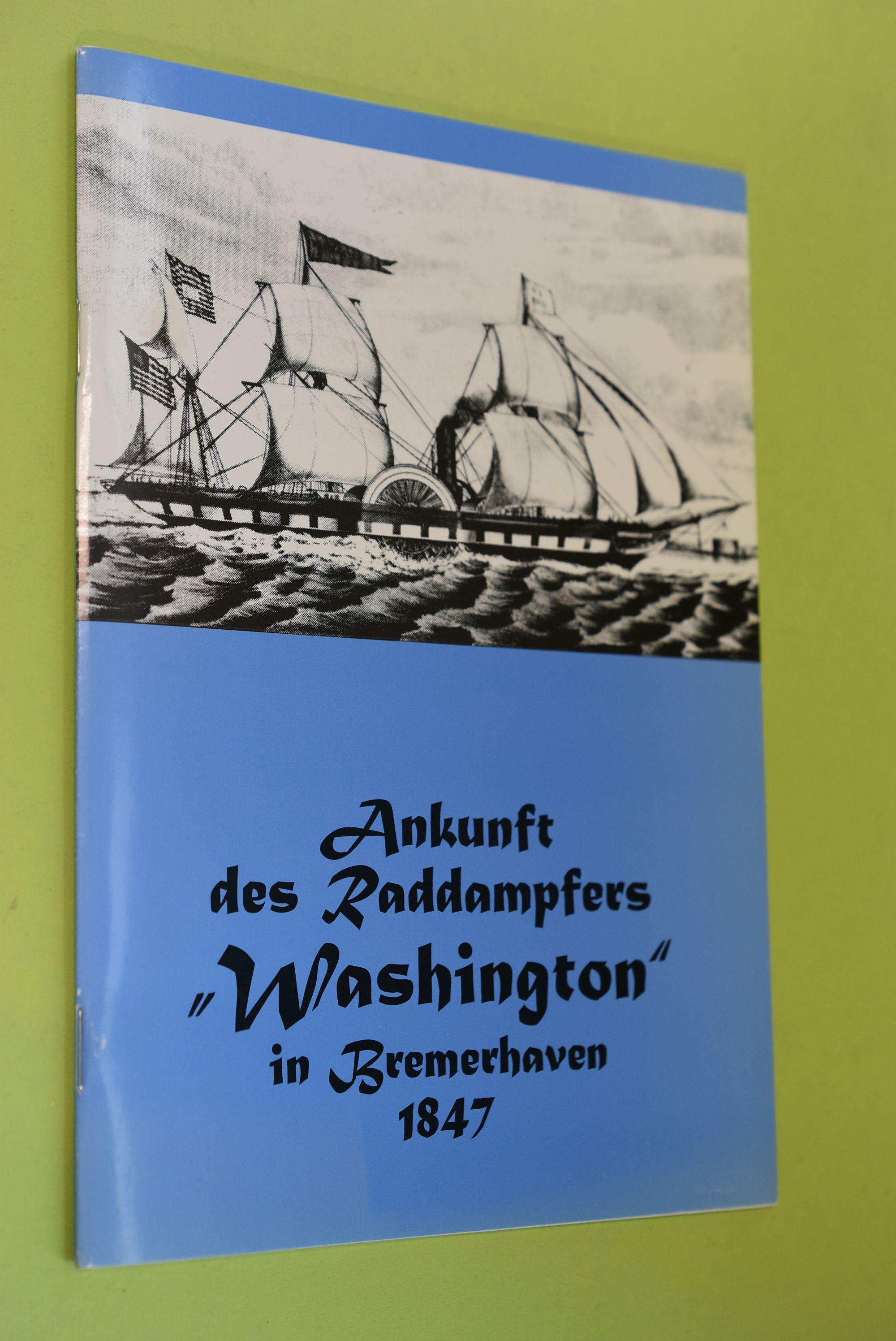
1997rif. 76752Bremerhaven : Wirtschaftsverl. NW, Verl. für Neue Wiss. 1997. 32 S. : Ill. ; 21 cm Heft 0
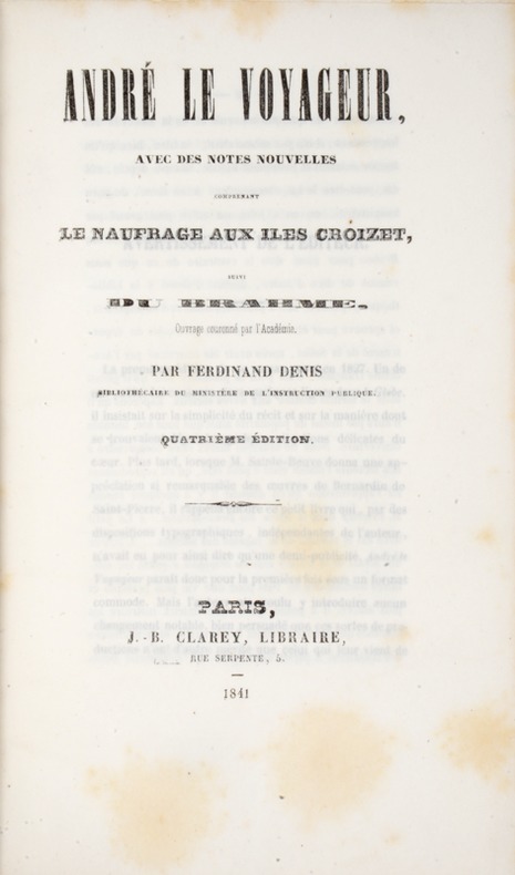
1841rif. 39808Paris, Clarey, 1841. In-8 de (4)-III-259 pp. maroquin vert, dos orné à nerfs, triple filet doré d’encadrement sur les plats, dentelle intérieure dorée, tranches dorées sur marbrure, non rogné (Brany).
rif. 12959Manuscrit reproduit d’après l’original conservé au musée du Louvre (cabinet des dessins) photogravure offset en 6 couleurs et typographie en Bodoni corps 12 de l’imprimerie Georges LANG. Couverture par MOURLOT frères, cartonnage d’Engel. Edité par Pierre BERES LA PALME 5 juin1951. 37 reproductions d’aquarelles accompagnent le fac-similé du manuscrit autographe. 53 pages, présentation de l’ancien culte Mahorie par René HUYGUE 38 pages. Très bon état.
1898Anchorages on the North Coast of Tubuai Island From the latest F rench Government Chart. Tubuai Island From the latest French Government Charts. London Published at the Admiralty, 25th Feb. 1898, under the Superintendence of Rear Admiral Sir. W.J.L. Wharton, Hydrographer.Small corrections: 1923. Autore: Admiralty Charts. Luogo: Tubuai Islands - Pacific Ocean. Anno: 1898 [1923]. Tecnica: incisione. Dimensioni: 627x460 mm
900Anchorages in Ysabel Island. In the left side of the chart insert of Kesuo Cove Surveyed by Lieutenant F.C.C. Pasco, assisted by Lieuts. C.E. Stainer, R. Aylen and K. Mackenzie-Grieve, H.M. Surveying Ship "Dart" 1902. In the right side of the chart insert of Tunnibuli Surveyed by Lieutenant F.C.C. Pasco, assisted by Lieuts. C.E. Stainer, R. Aylen and K. Mackenzie-Grieve, H.M. Surveying Ship "Dart" 1902. London Published at the Admiralty, 21st Dec. 1903, under the Superintendence of Rear Admiral Sir W.J.L. Wharton, Hydrographer. Small corrections: 1919. Autore: Admiralty Charts. Luogo: Ysabel Island - Salomon islands - Pacific Ocean. Anno: '900. Tecnica: incisione. Dimensioni: 461x662.
900Anchorages in Ysabel Island. In the left side of the chart insert of Korrigole Harbour Surveyed by Lieutenant F.C.C. Pasco, assisted by Lieuts. C.E. Stainer, R. Aylen and K. Mackenzie-Grieve, H.M. Surveying Ship "Dart" 1902. In the right side of the chart insert of Vulavu Anchorage Surveyed by Lieutenant F.C.C. Pasco, assisted by Lieuts. C.E. Stainer, R. Aylen and K. Mackenzie-Grieve, H.M. Surveying Ship "Dart" 1902. London Published at the Admiralty, 11th Dec. 1903, under the Superintendence of Rear Admiral Sir W.J.L. Wharton, Hydrographer. Small corrections: 1920. Autore: Admiralty Charts. Luogo: Ysabel Island - Salomon islands - Pacific Ocean. Anno: '900. Tecnica: incisione. Dimensioni: 457x652 mm
900Anchorages in Ysabel Island. In the upper part of the chart insert of Maringe Lagoon Surveyed by Lieutenant F.C.C. Pasco, assisted by Lieuts. C.E. Stainer, R. Aylen and K. Mackenzie-Grieve, H.M. Surveying Ship "Dart" 1902. London Published at the Admiralty, 21st Nov. 1903, under the Superintendence of Rear Admiral Sir W.J.L. Wharton, Hydrographer. Small corrections: 1920. Autore: Admiralty Charts. Luogo: Ysabel Island - Salomon islands - Pacific Ocean. Anno: '900. Tecnica: incisione. Dimensioni: 628x483 mm
900Anchorages in the Solomon Islands. In the upper part of the chart insert of Hat horn Sound Sketch Survey to Lieut. Marx & Torlesse, H.M.S. "Swinger" and Lieut. Elton, H.M.S. "Diamond" 1884. North of Marx P.t by Lieut. Bower, H.M.S. "Danae", 1879. With additions from a Survey by Lieut. Comm. W.U Moore, H.M.S. "Dart" 1884, Hathorn Sound Sketch Survey by Lieut C. W. Beresford and S.V. Messum under the direction of Lieut. Comm. W.U. Moore, H.M.S. "Dart" 1884, Port Diamond or Sinarango Sketch survey by the Officers of H.M.S. "Diamond", 1886. under the direction of Captain F.S. Clayton, Choiseul Bay Surveyed By Lieut. C.F. Oldham and the Officers of H.M.S. Lark, 1883. In the lower part of the chart insert of Blanche Harbour Surveyed By Lieut. C.F. Oldham and the Officers of H.M.S. Lark, 188, Plan of the Anchorage, Bambatani From a rough Sketch by Lieut. G. Stapleton, H.M.S. "Torch"1900. London Published at the Admiralty, 30th Dec. 1884, under the Superintendence of Captain W.J.L. Wharton, Hydrographer. Small corrections: 1929. Autore: Admiralty Charts. Luogo: Salomon islands - Pacific Ocean. Anno: '900. Tecnica: incisione. Dimensioni: 450x623 mm
900Anchorages in the Solomon Islands. In the upper part of the chart insert of Pavuvu Islands (Russell Islands) Sketch Survey by Lieut. G.E. Richards and the Officers of H.M.S. Renard 1880. Pepesala (Paddy) Bay from a sketch by M.r F.J. Bayldon, "Maresby" 1908. In the lower part of the chart insert of Viru Harbour Preliminary Survey By Commander A.F. Balfour, Assisted by the Officers of H.M. Surveying ship "Penguin" 1893, Rendova Harbour Preliminary Survey By Commander A.F. Balfour, Assisted by the Officers of H.M. Surveying ship "Penguin" 1893. London Published at the Admiralty, 28th Jan. 1895, under the Superintendence of Rear Admiral W.J.L. Wharton, Hydrographer. Small corrections: 1921. Autore: Admiralty Charts. Luogo: Salomon Islands - Pacific Ocean. Anno: '900. Tecnica: incisione. Dimensioni: 649x484 mm
900Anchorages in the Solomon Islands. In the upper part of the chart insert of Sketch of the Islands in Manning Strait between Choiseul and Ysabel Islands By M.r W. Hamilton 1908. Ysabel I from a sketch survey by Lieutenant F.C.C. Pasco, H.M. Surveying Ship "Dart" 1902. Taura Bay from an Austrian Government Plan, 1897. In the lower part of the chart insert of Sketch of the Southern portion of Lord Howe Islands (Ongtong Java or Leueneuwa) By Lieutenant G. Stapleton H.M.S. "Torch", 1900. London Published at the Admiralty, 9th May 1901, under the Superintendence of Rear Admiral Sir W.J.L. Wharton, Hydrographer. Small corrections: 1921. Autore: Admiralty Charts. Luogo: Salomon Islands - Pacific Ocean. Anno: '900. Tecnica: incisione. Dimensioni: 457x659 mm
900Anchorages in the Solomon Islands Surveyed by Commander A.F. Balfour, assisted by the Officers of H.M. Surveying ship "Penguin" 1894. In the upper part of the chart insert of Marovo Lagoon. In the lower part of the chart insert of Mongo Entrance, Charapoana Entrance, Tongoro Entrance. London Published at the Admiralty, 24th Feb. 1896, under the Superintendence of Rear Admiral W.J.L. Wharton, Hydrographer. Small corrections: 1919. Autore: Admiralty Charts. Luogo: Salomon Islands - Pacific Ocean. Anno: '900. Tecnica: incisione. Dimensioni: 626x481 mm
900Anchorages in the Solomon Islands. In the upper left corner of the chart insert of Beaufort Bay From a Sketch by M.r T.H. Switzer Master Schooner Roderick Dhu, 1896, Sutulahia Anch.e Sketch Survey by Lieut. W.R. Willis H.M.S. "Ringdove" 1895. In the middle part of the chart insert of Vura Anchorage From a Sketch by M.r T.H. Switzer, Master, Schooner, "Roderick Dhu"1896, Narovo Island Surveyed by Lieut. C.F. Odham and the Officers of H.M. Surveying Ship "Lark" 1882. In the right part of the chart insert of Auki Harbour Surveyed by Lieut. Com. R.L. Hancock and the Officers of H.M. Surveying Vessel "Sealark" 1913, Albatros Bay From an Austrian Government Sketch Survey, 1897, Ngora Fu Harbour From a Sketch Survey by Lieut. G.P. Bigg-Wither and the Officers of H.M.S. "Pylades", 1905. London Published at the Admiralty 20th Feb. 1907, under the Superintendence of Rear Admiral A. Mostyn Field, Hydrographer.Small corrections: 1927. Autore: Admiralty Charts. Luogo: Salomon Islands - Pacific Ocean. Anno: '900. Tecnica: incisione. Dimensioni: 617x470 mm
900Anchorages in the Solomon Islands. In the left part of the chart insert of Kunggava Bay From a sketch by Lieut. Com. R. Crookshank, 1928, Queen Carola Harbour From a German Government Survey, 1883, Wanderer Bay By Capt. H.M. Denham, 1855. In the middle part of the chart insert of Port Adam By W. Hilliard, Master H.M.S. Havannah 1850, Mallu Harbour By M.r Haddock, 1877, Astrolabe Harbour By Mons.r Marescot, Enseigne de Vaisseau Corvette Astrolabe French Royal Navy 1838, Cockatoo Anchorage By T.C. Tilly, Master, H.M.S. Cordelia, 1861, Aowawa Roadstead By Capt. H.M. Denham, 1854. In the right part of the chart insert of Hada or Recherche Bay By T.C. Tilly, Master, H.M.S. Cordelia, 1861, Kwakwaru and Kwi Harbours Sketch by M.r W.T. Wawn 1888, Port Mary By Lieut. C.F. Oldham, 1882, Makira Bay By Capt. H.M. Denham, 1855, Hunter Roadstead By Capt. H.M. Denham, 1854, Popau H.r Sketch by M.r R. Haddock, 1877. London Published at the Admiralty March 10th 1864, under the Superintendence of Capt. G.H. Richards, Hydrographer. Small corrections. Autore: Admiralty Charts. Luogo: Salomon Islands - Pacific Ocean. Anno: '900. Tecnica: incisione. Dimensioni: 643x495 mm
900Anchorages in the Solomon Islands. In the left part of the chart insert of Utuha H.r or Port Purvis Enlarged from a Survey by Comm. R.W. Glennie, H.M. Surveying Ship "Sealark" 1911, With Additions from a sketch Survey by Lieut. J.P. Rolleston H.M.S "Royalist", 1889, Alite H.r Langa Langa H.r Sketch Survey by Lieut. C.G.S. Eeles, H.M.S. Curacoa, 1893, Anonyma Cove Sketch Survey by Lieut. C.G.S. Eeles, H.M.S. Curacoa, 1893. In the middle part of the chart insert of Sio Harbour Sketch Survey by Lieut. J.P. Rolleston H.M.S "Royalist", 1889, Uru I. Anchorage Sketch by T.H.Switzer, Mate S.S. Rhoderick Dhu, 1894, Korombusu P.t to Susu P.t Surveyed by Commander R.W. Glennie H.M. Surveying Ship "Sealark" 1912. In the right part of the chart insert of Waisissi or Royalist Harbour Sketch Survey by Lieut. J.P. Rolleston, H.M.S. Royalist, 1889, Palaina Anchorage Sketch Survey by Lieut C.G.S. Eeles, H.M.S. Curacoa, 1893, Coleridge Bay Sketch Survey by Lieut. E. Reeves, H.M.S Royalist, 1894, Sualaha Cove Sketch Survey by Lieut. C.G.S. Eeles, H.M.S Curacoa, 1893, Mappo Harbour Sketch by T.H. Switzer, Mate of S.S. Rhoderick Dhu, 1894, S.W. Coast of Malaita By W.T. Wawn, Master of the Brigantine "Borough Belle" 1891. London Published at the Admiralty 30th May 1890, under the Superintendence of Captain W.J.L. Wharton, Hydrographer. Small corrections. Folded editorially. Autore: Admiralty Charts. Luogo: Salomon Islands - Pacific Ocean. Anno: '900. Tecnica: incisione. Dimensioni: 649x998 mm
900Anchorages in the Solomon Islands. In the upper part of the chart insert of Jack Harbour Surveyed by Commander A.F. Balfour & Lieut. G.W. Gubbins H.M. Surveying Ship "Penguin" 1894, Baranago Harbour Surveyed by Commander R.W. Glennie and the Officers of H.M. Surveying Ship "Sealark" 1911, Rice Anchorage Sketch Survey by Lieut. S.C. Weigall, H.M. Surveying Ship "Penguin", 1895. In the middle part of the chart insert of Mboli Harbour Sketch by J.E. Scudamore Master, H.M.S. "Curacoa" 1865 Additions from a sketch by Lieut. A.C. Scott H.M.S. "Mohawk" 1898, Kolieuro Inlet Surveyed by Lieuts. C.E. Monro & S.C. Weigall under the direction of Comm. A.F. Balfour H.M. Surveying Ship "Penguin", 1895. In the lower part of the chart insert of Rua Sura I.s Anchorage Surveyed by Comm. R.W. Glennie, and the Officers of H.M. Surveying Ship "Sealark" 1912, Mosquito Anchorage Surveyed by Lieut. T.H. Heming under the direction of Lieut. C.F. Oldham, H.M. Surveying Ship "Lark" 1882, Maoraha I. & Anchorage Surveyed by Lieut. T.H. Heming under the direction of Lieut. C.F. Oldham, , H.M. Surveying Ship "Lark" 1882. London Published at the Admiralty 28th Jan. 1896, under the Superintendence of Rear Admiral W.J.L. Wharton, Hydrographer. Small corrections: 1928. Autore: Admiralty Charts. Luogo: Salomon Islands - Pacific Ocean. Anno: '900. Tecnica: incisione. Dimensioni: 630x483 mm
900Anchorages in the Galapagos Islands.In the left part of the chart insert of Wreck Bay and approaches From a British survey in 1849 with additions and corrections. In the middle of the chart insert of Iguana Cove From a British survey in 1836, Webb Cove From a British survey in 1886, James Bay From a British survey in 1836, Sulivan Bay From a British survey in 1836, Terrapin Road From a British survey in 1836, Freshwater Bay From a British survey in 1836, Conway Bay From a British survey in 1846, Wreck Bay to Stephens Bay From Italian surveys in 1882 and 1885. In the right part of the chart insert of Tagus Cove From a British survey in 1835, Gardner Bay From a British survey in 1835, Post Office Bay From British surveys in 1836 and 1846, Sappho Cove From a British survey in 1883, Black Beach Anchorage From a French survey in 1887. Washington D.C., published July, 1899, at the Hydrographic Office, under the authority of the Secretary of the Navy. Small corrections: Printed: Oct. 1926. Folded editorially. Autore: Admiralty Charts. Luogo: Galapagos Islands - Pacific Ocean. Anno: '900. Tecnica: incisione. Dimensioni: 639x1105 mm
rif. Z1-T-032-02116Springer. Used - Good. Ships from UK in 48 hours or less usually same day. Your purchase helps support Sri Lankan Children's Charity 'The Rainbow Centre'. Ex-library so some stamps and wear but in good overall condition. 100% money back guarantee. We are a world class secondhand bookstore based in Hertfordshire United Kingdom and specialize in high quality textbooks across an enormous variety of subjects. We aim to provide a vast range of textbooks rare and collectible books at a great price. Our donations to The Rainbow Centre have helped provide an education and a safe haven to hundreds of children who live in appalling conditions. We provide a 100% money back guarantee and are dedicated to providing our customers with the highest standards of service in the bookselling industry. Springer unknown
rif. ria9789401089807_inpPaperback. New. New Book; Fast Shipping from UK; Not signed; Not First Edition; Oceans have been the subject of scientific inquiry for hundreds of years but significant study of mineral occurrences on the deep ocean floor has only begun to take place. Man's present knowledge of the ocean floor had to await the dev paperback
rif. B9789401089807Paperback / softback. New. Oceans have been the subject of scientific inquiry for hundreds of years but significant study of mineral occurrences on the deep ocean floor has only begun to take place. paperback
rif. Z1-T-033-00928Springer. Used - Acceptable. Used - Acceptable. Ships from UK in 48 hours or less usually same day. Your purchase helps support Sri Lankan Children's Charity 'The Rainbow Centre'. Ex-library with wear and barcode page may have been removed. 100% money back guarantee. We are a world class secondhand bookstore based in Hertfordshire United Kingdom and specialize in high quality textbooks across an enormous variety of subjects. We aim to provide a vast range of textbooks rare and collectible books at a great price. Our donations to The Rainbow Centre have helped provide an education and a safe haven to hundreds of children who live in appalling conditions. We provide a 100% money back guarantee and are dedicated to providing our customers with the highest standards of service in the bookselling industry. Springer unknown
2013rif. x-9401089809Graham & Trotman Limited 2013. Paperback. New. 156 pages. 8.27x5.43x0.24 inches. Graham & Trotman Limited paperback
rif. 6142312869Springer . Papeback. New. pp. 156 Springer unknown
2025rif. __1597115770Aperture 2025. Hardcover. New. 20 anv edition. 144 pages. 8.75x11.75x8.74 inches. Aperture hardcover
rif. 1494941716.Gpaperback. Good. Access codes and supplements are not guaranteed with used items. May be an ex-library book. paperback