1733 resultados
1887ref. PHO-1969Rio de Janeiro, Lombaerts & Cie, 1887, grand in-4° (32x23cm), pleine percale époque, titre au dos, petits frottements aux mors, quelques rousseurs. Texte en portugais avec sa traduction française en regard, complet de ses illustrations sous serpentes.
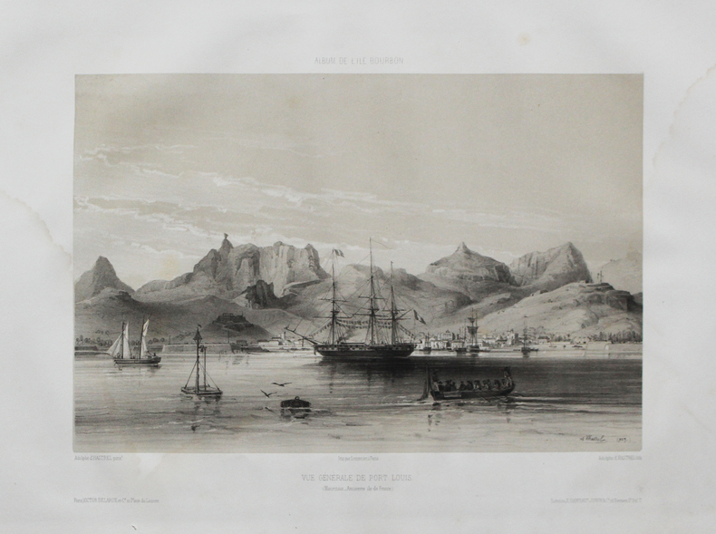
1850ref. LBW-4488Paris, Victor Delarue et Ce, [circa 1850]. 245 x 310 mm.
1885ref. PHO-1499Paris, Gauthier-Villars, 1885, 2 volumes grands in-4, couverture éditeur, Introduction et Zoologie 576pp., Botanique 23pp., Géologie 180pp., Planches 32pp.-2ff. et son Atlas de 2ff. et 68 planches en lithographie, d'études géologiques et zoologiques (55 planches de zoologie sur fond crème et 13 planches de géologie dont 10 d'observations microscopiques de roches, en couleurs), dos cassé à l’atlas.
1791ref. PHO-557EDITION ORIGINALE
1668ref. PHO-1821Paris, Jean de la Tourette, 1668. In-12, 340pp., vélin époque (Sali avec petits manques) titre manuscrit au dos, ex-libris au titre, mouillure angulaire sur 20 feuillets, pages 79-82 et 338, déchirées avec manque (copies), page 339-340 en copie, écritures en dernière page
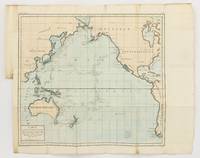
1790ref. 143934Paris: F. Dufart 1790. Very Good. Paris F. Dufart circa 1790. A hand-coloured engraved map printed surface 378× 415 mm sheet size approximately 420 × 540 mm. 'Gravée par Tardieu l'Ainé . Dessiné par Poirson . Ecrit par Beaublé'. Original folds as issued; some minor uneven tanning; in very good condition. An uncommon chart of the Pacific Ocean and Australia showing magnetic variation and dip drawing on observations made in the course of Pacific voyages after 1775 most notably Cook's third voyage. It is most likely from a duodecimo edition of Buffon's 'Histoire naturelle générale et particulière' around the end of the eighteenth century 'PL. III. Tome XVI' and 'Page 58' are printed in the top margin. It is based on a larger chart in four sheets attributed to Jean-Charles de Borda. The engraver Tardieu is one of half a dozen members of the family working as engravers at the period one of whom P.A.F. Tardieu would engrave the charts published in the official account of the Baudin voyage. F. Dufart unknown
1925ref. 000328Amsterdam Société d'édition "Elsevier" 1925
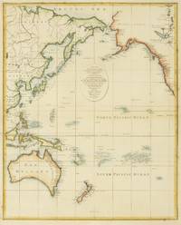
1797ref. 146755London: John Lodge 1797. Very Good. London John Lodge circa 1797. A hand-coloured engraved map printed surface 424 × 342 mm sheet size 450 × 385 mm. 'Engrav'd by J.Lodge Junr. Islington'. Several light horizontal creases two with short marginal splits outside the plate mark expertly sealed; minimal foxing; in excellent condition. An attractive chart of the Pacific Ocean including Australia from Bankes' 'New Royal and Authentic System of Universal Geography'. McCorkle #11-1a 'The geographical works of Thomas Bankes are a bibliographical nightmare'; Beddie 505; Tooley 870. John Lodge unknown
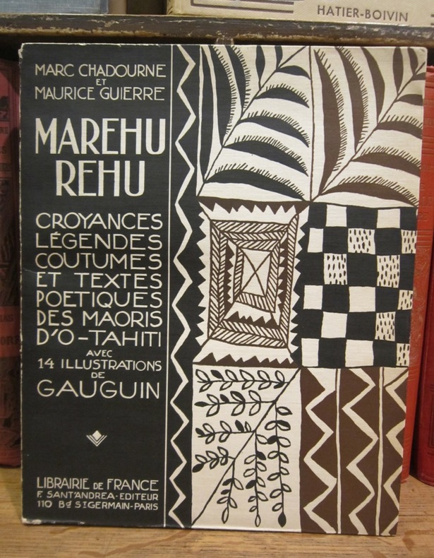
1925ref. 003212Librairie de France, F. Sant'Andrea éditeur, 1925
1850ref. LBW-1182Paris chez l'auteur circa 1850 252 x 320 mm.
1833ref. LBW-1987Paris, 1833-1839. 272 x 365 mm.
1797ref. 50776A Geneve, Biblioth. Britannique, 1797. 8vo. Contemp. marbled boards. Paperlabel with handwritten volume- title on spine. Boards rubbed. In: ""Bibliotheque Britannique"", Tome cinquieme. Sciences et Arts. A name cut from titlepage, no loss of letters. Entire volume offered. 392 pp., 4 folded tables a. 3 folded engraved plates. A faint dampstain to foot of titlepage, otherwise clean, printed on good paper. Rumford's paper: pp. 97-200 a. 1 engraved folded plate.
1797ref. 50776A Geneve Biblioth. Britannique 1797. 8vo. Contemp. marbled boards. Paperlabel with handwritten volume- title on spine. Boards rubbed. In: "Bibliotheque Britannique" Tome cinquieme. Sciences et Arts. A name cut from titlepage no loss of letters. Entire volume offered. 392 pp. 4 folded tables a. 3 folded engraved plates. A faint dampstain to foot of titlepage otherwise clean printed on good paper. Rumford's paper: pp. 97-200 a. 1 engraved folded plate. First printing of the founding paper on Oceanography describing the experiments leading to the discovery of the convection currents in the sea. Cold water at depth in the tropics implies a meriodinal circulation transporting deep water from the polar regions towards the equator. Water cooled at the surface in high latitudes gets denser and hence descends. Parkinson "Breakthroughs" 1797.The volume also contains the first translation of any part into French of JAMES HUTTON "Theory of the Earth &c. Théorie de la Terre avec des preuves & des éclaircissemens; en guatre parties. 1.-2. Extrait.". Pp. 53-73 a. pp. 262-273. hardcover
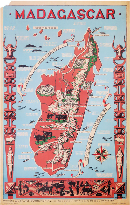
1950ref. LBW-8591Paris, Affiches Gaillard, [vers 1950]. 1,16 x 0,74 m ; sur papier fin.
1818Uncommon French Sea Chart of the Pacific ocean, separtely publisheb by the Depot General de la Marine. This work is significantly revised and improved from the 1797 edition, to be noticed the improvements and additions to the coastline of Australia. The first edition showed very little of the Southern Coastline and did not specifically delineate Tasmania as an island. Also the coastline of Argentina is also greatly improved. Perfect status of conservation.
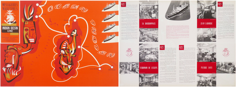
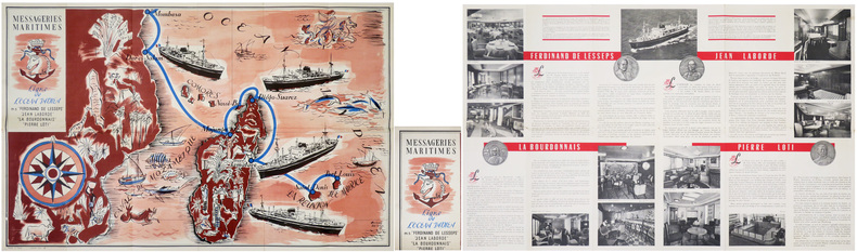
1953ref. LBW-8631Paris, Messageries Maritimes, [1953]. 559 x 759 mm (marges comprises).
1903Volume in 4°, brossura editoriale con sovracoperta, titolo al piatto ed al dorso, sguardie, occhiello, frontespizio, prefazione, ritratto fotografico dell'autore, VI, 407 pp., 200 illustrazioni fotografiche, di cui 50 tavole f.t e 2 grandi mappe ripiegate f.t.. Uno fra i libri di viaggio più rari in assoluto, racconta il viaggio esplorativo compiuto dal Conte R. F. de Tolna, in compagnia della moglie, in occasione delle loro nozze, attraverso l'Oceano Pacifico. Viaggio che durò ben otto anni e diede loro modo di visitare luoghi ancora inesplorati di entrare a stretto contatto con popolazioni selvagge, dagli usi e costumi differenti e curiosi, tra cui quella decisamente suggestiva del cannibalismo. Un affascinante viaggio attraverso una cultura ormai perduta, arricchito da splendide e suggestive illustrazioni. Edizione originale in ottimo stato. Un gioiello di eccezionale rarità.
1953ref. LBW-8871Paris, Messageries Maritimes, [1953]. 569 x 895 mm marges comprises ; replié 285 x 150 mm.
1849ref. LBW-8266[Paris], Dépôt-Général de la Marine, 1849. 612 x 886 mm.
1692ref. OCE200M1692, Claude Barbin, Paris. In-12, relié, pleine basane fauve de l’époque, dos à 5 nerfs orné, chasses ornées, 341pp. Imprimé chez Laurent Rondet. Intérieur parfaitement bon voire frais. Tampon ex-libris sur page de titre. Reliure d’époque restaurée dans le respect de la patine. Tranches bonnes. Intérieur très propre. Exemplaire sain et robuste.
1833ref. 40537Paris, Lecointe et Pougin, Éditeurs, 1833. In-8 interfolié de XVI-280 pp., demi-veau havane, dos orné à nerfs, pièces de titre prune, tranches marbrées (reliure de l'époque).
1940ref. 180382February - October 1940. An attractive collection exhibiting the continuation of relatively comfortable commercial sea travel in the early years of the Second World War before the Japanese government requisitioned large numbers of O.S.K. and N.Y.K. vessels for military use. The menus supplement a predominantly Western style of cuisine with occasional Japanese titbits. Passengers on the Brasil Maru were treated to musical performances while they dined. 10 items octavo. Original colour or monochrome card covers 7 with letterpress bifolium fixed with colour string 3 with contents printed direct 1 of these formed from sheet folding into quarters. Light wear especially to largest examples foxing and a little soiling: a very good collection. unknown
1892Very Good English, Middle (1100-1500) Original imitation vellum. An OCLC register says "decorated with small shells and seaweed pasted on". Chipped on extremities and spine, slight pouring on paper; several tapes used at the link of the pages to binding. Otherwise a good copy. Small 4to. (27 x 18 cm). In Middle English (15th century). The first leaf attached to front cover. At end, 6 blank leaves. [46] p. with [7] blank pages, many illustrations, 1 letter with its broken seal. Separately, a facsimile of a letter from Isabella (Dona Isabel por Gracia de Dios Reina de Castilla y Leon etc. etc. A Don Cristobal Colon de Genova) to Columbus, dated 'Granada a? trece de Abril de MCCCCXCII,' with a broken seal attached. Script on vellum as well. Two registers in OCLC (1029665801 and 60764823 -This one is New York Edition-). 'Düsseldorf Edition' says "A spurious work purporting to be the logbook of Christopher Columbus, which, according to legend, he threw into the sea during a storm, and which was found on the coast of Pembrokeshire 400 years later. Written in antiquated English, with paper and binding made to imitate in color and appearance a volume damaged by exposure to seawater. "S.A.S.X. MY XPO FERENS" from cover, variously interpreted, eg. Supples servus altissimi Salvatoris Xristi Mariae Josephi Xpoferens. Forgery attributed to Karl Maria Seyppel. Printed by lithographic process on imitation parchment paper. Text and illustrations printed to appear handwritten, with many decorated initials. Accompanied by: reproduction of a letter purported to be by the finder of the logbook dated "September forth 1890"; "Don~a Isabel por gracia de Dios Reina do Castilla y Leon, etc., etc. a? Don Cristo?bal Colon de Ge?nova," supposed letter on imitation parchment, authorizing his voyage, dated "Granada, a? trece de abril de mccccxcij," with an attached seal, laid in.". This is a fine hoax on Colombus' first travel into America. It includes a map containing Cuba, San Salvador, and unknown areas with a hand drawing of Columbus as well as other illustrations and decorative borders, etc. This Edition may be printed in memory of the 400th year of '1492'. "Columbus's log of the first voyage has not survived, although we do have an abstract of it, written in the 1530s by Bartolome de las Casas. However, that actually used the "Barcelona Copy" of Columbus's original log. The chart above shows the sources that exist today in green, and sources that have disappeared in red. The chart also shows where secondary souses got their original information. When he returned to Spain in 1493, Columbus gave his original log to the Sovereigns at the royal court in Barcelona. Queen Isabela ordered the log to be copied, resulting in the so-called Barcelona Copy. The original has not been seen since, however, the Barcelona Copy was returned to Columbus just before his second voyage later that year, and remained in his possession until his death in 1506. It then passed into the hands of son Fernando, who used it when he wrote a biography of Columbus in 1538. The Barcelona Copy too was lost sometime after 1554. Sometime around 1530, the Barcelona Copy was abstracted by Las Casas into the Diario. This abstract as part of his research that led to his massive work, the Historia de las Indias. So The Diario remains our best historical record of the first voyage of Columbus. On the westward passage, Columbus kept two sets of distance figures in the log. According to Las Casas, this was done to allay the fears of the crew that they had sailed too far from Spain. The abstract is mostly written in the third person, but there are a number of large direct quotes from the log written in Columbus's own first-person.". (Source: Christopher-Columbus Europe website).
1966Very Good English Original wrappers. 4to. (29 x 22 cm). In English. 41 p., 31 original gelatin silver photographs in various sizes mounted on pages within the text, many architectural plans of the bridges, with a folded page, and a folded map. The title, author, and contents are on the front cover with a handwritten date "1966". The first two pages are folded inside. Exceedingly modern rare printed material with original gelatin silvers including a detailed historical, scientific, and visual account of the highway bridges in all of Japan, by Dr. Eiichi Murakami, the Director Public Works Research Institute Ministry of Construction of Japan. The book starts with a General title containing two tables: "Present condition of Highway Bridges in Japan 1965", and "Longest Span Bridge by Types in Japan". The second part is the History of Highway Bridges. This part deals with some selected examples from the oldest bridge on record, Ikuinotsu built in 326 AD to present, and this part has three original silver gelatins of Enkyo (Monkey) Bridge, Kintai (Shining Arch) Bridge, and Aimoto Bridge. The third and fourth part is "Specifications" and "Influence of Earthquake upon Bridge Structure" discussing its history from 1921 to the present day and the effects of an earthquake upon a bridge, these parts have one photo mounted on the sixth page as well as two tables. The fifth part is "Steel Bridges" and also is the longest part of the work, with examples from the first metallic bridge in Japan "the Kanenohashi" [i.e. Iron Bridge] constructed in Yokohama in 1869 to the present day, including 18 original silver gelatins of Eitai Bridge, Tied Arch over the Sumida River in Tokyo (its a panoramic view), Sagami Grand Bridge, Nagara Bridge, Azuma Bridge, Jogashima Bridge (this consists of two separate photos), New Tsukuda Bridge, Biwako Grand Bridge, Choshi Grand Bridge, New Mikuni Grand Bridge, Ondo Grand Bridge, Asahi Bridge, Uwagawa Bridge, Takumo Bridge, Saikai Bridge /two different views of this bridge), Konaruto Bridge, Kachidoki Bridge, and the Side-view of Wakato Bridge under construction. The sixth part deals with the subject of Reinforced Concrete Bridges including three gelatin silvers of the Nihon Bridge, Tokachi Grand Bridge, and Sasatsu Bridge. The seventh part is "Prestressed Concrete Bridges". It was in 1952 that prestressed concrete was first industrialized in Japan. This part tells that the studies for industrialization had been made earlier, but implementation had been delayed partly due to World War II and it follows the technique to the present day with five gelatin silvers of Sataunai Bridge, Ranzan Bridge, Komekami Bridge, Koshinoo Bridge, and Nada Bridge, pp. 25-28. The eighth part is "Substructures", including a gelatin silver Steel caisson for the main tower foundation of the Wakato Bridge, towed 20 km across the ocean. The ninth part is "The Amakusa Highway" which is a link between Misumi-cho, Uto-peninsular, and Aizu, Kamishima-Island. This part deals with the project which has a total length of 16,5 km including five bridges on the route made by the Japan Highway, this part has five plans. The last part is "Proposed Highway Bridges across the Bay and the Sea", including 16 plans (one folded). The book has an extra folded large map (58x45,5 cm) in Japanese and a folded page. This item is from the library of Turkish certificated engineer Alkut Aytun (1937-) (dated on the front cover "6/IV/1966"). During the time he worked at the Earthquake Branch of the Ministry of Development and Settlement, he specialized in earthquake engineering as a UNESCO scholar at the International Institute of Seismology and Earthquake Engineering (I.I.S.E.E.), which was established in Tokyo (Japan) with the cooperation of the United Nations and the Japanese Government, between August 1965 and August 1966. This was followed by an extension study at the University of Tokyo under the supervision of Atsushi Hirai with a scholarship from Waseda University unti
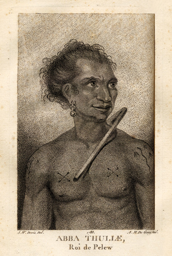
1788ref. 14520Paris, Le Jay et Maradan, 1788 ; 2 tomes in-8 ; demi-chagrin noisette (reliure moderne) ; (4), 282 pp., portrait du capitaine Henri Wilson en frontispice, gravé par Mme Massard d'après I. Russell, grande carte géographique dépliante, 7 planches gravées dont 6 dépliantes ; (4), 274 pp., (3) ff. Errata et Approbation, 8 planches gravées dont 6 dépliantes, soit 17 planches au total ; vocabulaire de la langue Pelew pp. 251-267 du tome II.