GRANDIDIER Alfred.-Livre Rare Book
1.863 resultados
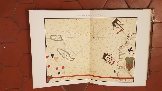
ref. ORD-19801Paris. (Imprimerie Nationale, ca 1885-1892). 1 volume in-4 (250 x 308 mm) cartonnage dos et coins toile ocre jaune, plats marbrés, gardes satinées. Exemplaire sans page de titre contenant 61 planches, fac-similés de cartes et plans anciens, montés sur onglets soit 6 à double page dont 4 en couleurs, 15 simples en couleurs et 40 en noir et blanc. (Chadenat 4890, seule référence que j'ai pu trouver en donne 67). Dos et coins épidermés, mors intérieur faible, rares rousseurs, planches en excellent état. Ouvrage de toute rareté.
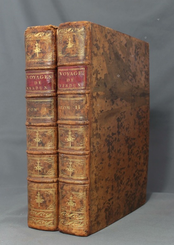
1778ref. 8670Paris, de l'Imprimerie Royale, 1778. 2 volumes in-4 de [4]-389-[1]-XIX-[3]; [8]-500-XXXII pages, plein veau marbré brun, dos à nerfs ornés de filets et fleurons dorés, pièces de titre en maroquin rouge, tranches mouchetées, petits accrocs aux coiffes supérieures, épidermures, coupes et coins frottés, tampon sur les pages de titre, quelques pâles rousseurs.
1776ref. 15746Ruault Paris 1776 1 vol. In-4 de XII 2 ff.n.ch. 206 pp. 1 f.n.ch., veau glacé porphyre de l'époque, dos à nerfs orné, pièce de titre de maroquin vert, triple filet doré en encadrement sur les plats, coupes filetées, tranches marbrées.
1755ref. ABC_474521755. Manuscript of 24 pages 6 printed maps on cardboard. This wonderful logbook details the journey of a French captain from Manila to the Maluku Islands in todays Indonesia. The journey took place during the months of March to May of 1755. The captain of the ship recounted with great detail the events of every day of the journey with detailed daily accounts of the weather winds manoeuvres of the ship its departures anchorages and precise coordinates at every point of the journey. The captain furthermore had a keen eye for the geographical and nautical details along the journey. He recounted the exact locations of for example sandbanks and bays where ships and their crews can take provisions and fresh water. The accounts are detailed and captivating: "After our boats were back on board we set sail . in the afternoon to moor under the old Portuguese fort on the Solor island Indonesia the winds for the tide were fresh at 1:34 a.m. . sand and gravel and then I went back to mooring. The pavilion of the fort . the village is under the said fort at 3 cables from us .". The captain goes on to describe the geographical features of the islands as well as other places en route with great detail. Curiously we find inscriptions in Spanish and the names of one don Phelipe Qui who describes himself as el piloto and one Padre Don Estevan de Melo. The latter might be identical with Don Estevan Roxas y Melo a native of Lima Peru and secretary to the Archbishop of Manila Rodriguez since 1736. Roxas y Melo was part of the 1751 reconstruction of the Cathedral of Manila working under the auspice of the Italian architect Juan de Uguccioni.The logbook comes with six printed maps partly illustrating the journey of the captain pasted on contemporary cardboard. They depict the Bay of Sulavesi with the city of Bantang Pitcairn the coast of New Guinea the coast of Queensland the Santa Cruz Islands in the present-day Solomon Islands and Alejandro Selkirk Island. The plates stem from the French translation of James Hawkesworths An Account of the Voyages Hawkesworth Relation des voyages entrepris par ordre de sa Majesté Britannique actuellement regnante; pour faire des découvertes dans l'hemisphère meridional Paris 1774.Some holes on the first sheet not affecting the text. Small water damage some slighlty affecting the text. Remnants of seals on last page. Otherwise in good condition. unknown
2010ref. 190769Alexander Arkansas: Sibling Rivalry Press 2010. Hunger neglects pride the way fire neglects the cries of what it burns First edition of the author's rare first book inscribed by him on the front free endpaper "For Lynn speak through the darkness. I will know your song. Ocean" with a sketch of a boat at sea and the author's email address dated 26/6/11. Vuong has continued his inscription on the rear pastedown "Child of God and Viet woman: Con Lai". The recipient was fellow writer Lynn Levin author of House Parties and The Minor Virtues. Vuong is a prolific poet essayist and novelist whose debut novel On Earth We're Briefly Gorgeous 2019 catapulted him to international fame. Burnings his first publication brings together a number of poems many of which reflect on the generational trauma of the Vietnam War. Octavo. Original wrappers lettered in red and white front cover with colour illustration after Ashley Blazawski rear cover dark red. Crease to joint of front wrapper: near-fine. unknown
1774In-8 gr. (mm. 248x188), 4 volumi, elegante legatura in p. pelle bazana coeva (picc. spacchi alle cerniere), dorso a cordoni con ricche decorazioni e tit. oro su due tasselli, sottili cornici dorate ai piatti, tagli marmorizzati, pp. (4),IV,XVI,(2),XXXII,388; (8),536; (8),394,(2); (4),VIII,367; illustrati f.t., come da Indice, da 52 tavole inc. in rame di cui 30 carte geografiche, più volte ripieg., e 22 magnifiche tavole (anche a doppia pag.) che raffigurano usi e costumi degli indigeni, paesaggi, flora e fauna, scene storiche, tutte molto ben conservate. L’opera, tradotta dall’inglese, è così suddivisa: 1° vol. “Relation d’un voyage fait autour du monde, dans les années 1764, 1765 et 1766, par le Commodore Byron, Commandant le vaisseau du Roi le ‘Dauphin’ (segue) Voyage.. dans les années 1766, 1767, 1768 et 1769, par Philippe Carteret, Ecuyer, Commandant du ‘Swallow Sloup’ de Sa Majesté Britannique” - 2° vol. “Voyage.. dans les années 1766, 1767 et 1768, par Samuel Wallis, Commandant le vaisseau du Roi ‘le Dauphin’ (segue) Voyage.. dans les années 1769, 1770 et 1771, par le Lieutenant Jacques Cook, Commandant le vaisseau du Roi ‘l’Endeavour’” - 3° et 4° volumi “continuation et fin du ‘Voyage du Capitaine Cook”. "Prima edizione della versione francese". Cfr. The Hill Collection of Pacific Voyages (2004),782, per la prima ediz. inglese del 1773: “Important collection chronicling English maritime expeditions. John Byron visited the Tuamoto Islands and Nikunau in what would later be called the Gilbert Islands. Captain Wallis discovered the volcanic island of Tahiti and Morea.. Captain Carteret discovered Pitcairn Island and some remote atolls in the South Seas. The first voyage under the not-yet-famous Captain Cook’s command was primarly of a scientific nature. The expedition was to sail to Tahiti in order to observe the transit of Venus across the disk of the sun, to determine the earth’s distance from the sun, and also to carry on the geographical discovery that John Byron had started. Entering the Pacific around Cape Horn, Cook reached Tahiti in 1769 and carried out the necessary astronomical observations.. Leaving Tahiti in July, Cook discovered, named and charted the Society Islands, and then, heading southwest, explored New Zealand. Cook then headed towards Australia and discovered and charted the eastern coast for 2.000 miles, naming the area New South Wales. He nearly lost his ship on the Great Barrier Reef. Both Australia and New Zealand were annexed by Britain as a result of this voyage, which began in 1768 and ended in 1771. Cook’s discoveries won him prominence, promotion, and the opportunity to sail again. They also ensured J. Hawkesworth’s position in maritime literary history, as the official chronicler of Cook’s first voyage”. Pagine ingiallite per la qualità della carta, altrimenti esemplare ben conservato.
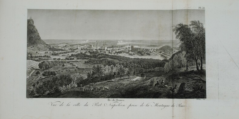
1812ref. PHO-1228Paris, A. Nepveu, 1812. 2 volumes de texte in-8 (210x130), veau havane marbré, dos lisse orné, pièces de titre et de tomaison de maroquin rouge et tabac, roulette encadrant les plats, tranches mouchetées (reliure de l'époque) ,une coiffe usée, et un atlas in-folio oblong (420x280), demi-veau vert, dos lisse fileté or (reliure de l'époque) ,plats et dos frottés avec manques aux coins , début de fente . Première édition, illustrée de 3 tableaux dont 2 dépliants. L'atlas comprend 45 planches et cartes, dessinées et gravées la plupart par l'auteur ,certaines terminées par Coube, Hulk, Gossard ou Perdoux, (carte de l'île de France, vue de la ville du Port Napoléon, vue du Cap de Bonne-Espérance, etc.). L'ouvrage traite de l'histoire de l'île Maurice, de sa population et de son administration, de géologie et de sciences naturelles. Bon exemplaire. Mouillure très claire marginale à quelques planches, déchirure sans manque à la dernière avec réparation .
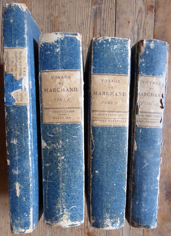
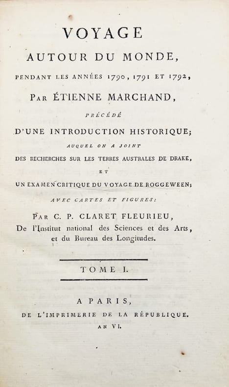
1798ref. 2500Edition originale du récit de la deuxième CIRCUMNAVIGATION FRANÇAISE, la première expédition commerciale française dans le nord ouest du Pacifique, dans le très rare tirage in-quarto paru entre 1798 et 1800. Le présent ouvrage est extrêment important pour l’histoire des découvertes dans le Nord-Ouest du Pacifique et notamment des îles Marquises. 3 volumes de texte de format 20 x 30 cm (632, 678 et 434 pages) et 1 volume de format comprenant de texte et 16 planches gravées dont 15 dépliantes ( 15 cartes et 1 figure ) Cartonnages d'attente de l'époque aux plats frottés. Le volume 3 de texte présente de fortes mouillures sur les 10 premières pages et sur le premier plat à Paris, Imprimerie de la République An VI à An VIII Le but principal de cette circumnavigation était avant tout commercial : il s’agissait de la traite de fourrures de loutres de mer entre la côte Nord-Ouest de l’Amérique et la Chine. Dirigée par le navigateur français Etienne Marchand (1755-1793), l’expédition quitta Marseille à bord du Solide, un navire de 23 mètres de long (construit grâce aux frères Baux) en décembre 1790. Accompagné d’un équipage de 50 hommes, de ses Seconds Pierre Masse et Pierre Chanal ainsi que du chirurgien Claude Roblet, Marchand décide de contourner le continent sud-américain par le Cap Horn sans s’y arrêter, son but étant de se diriger vers les Iles Marquises dont la position est connue grâce au 2ème voyage de Cook (1774). Ayant atteint l’archipel en juin 1791, il en repart quelques jours plus tard, non sans avoir auparavant commercé avec les Marquisiens.Remontant vers le Nord, il «découvre» d’autres îles (au nord des Marquises) ne figurant sur aucune carte. Il décide d’en prendre possession au nom du Roi Louis XVI, et après leur avoir donné un nom à chacune, baptise l’ensemble Iles de la Révolution. Explorant la région tout en commerçant avec les Amérindiens, il poursuit sa route vers la Chine,traversant le Pacifique en 11 semaines seulement. Mais arrivé à Macao, il découvre qu’un accord a été conclu entre la Tsarine Catherine II et l’Empereur de Chine, donnant l’exclusivité aux Russes pour l’importation des fourrures. Marchand décide donc de rentrer en France avec sa marchandise. Après une escale à l’Ile de France pour réparations, il repart vers la France où il arrive en pleine Terreur. Malgré la confiscation des peaux, Marchand est reçu avec les honneurs. Il se retire à l’Ile Bourbon où il serait mort en 1793. Echec d’un point de vue financier, l’expédition fut cependant une réussite d’un point de vue géographique (connaissances géographiques accrues des Iles Marquises et de la côte nord-ouest des Amériques - cartographie plus précise de certaines îles) et scientifique (précieux renseignements sur la vie des Polynésiens et Amérindiens de l’époque grâce aux carnets de voyage de Chanal et Roblet). Charles Pierre Claret de Fleurieu (hydrographe français 1738-1810) édita le voyage en 1798 à l’aide des journaux de bord des Seconds Chanal et Roblet, y ajoutant ses propres commentaires.
1756In-4°, due volumi, XIV, 463pp; (2cc), 514pp; prima edizione originale senza le 7 carte pieghevoli della seconda edizione, pubblicata lo stesso anno. Legatura coeva in vitello francese marmorizzato, tagli rossi, con nervi e titolo in oro al dorso. Uno dei rari esemplari comprendenti le 7 carte supplementari nel secondo volume (437*-450*) intitolate Scoperte degli Olandesi nell’Australasia. Si tratta di uno delle più importanti opere consacrate alle prime spedizioni nel Pacifico del Sud. “Il suo studio fa epoca nella conoscenza dell’Oceania(...). De Brosses, raccogliendo tutti i testi conosciuti dai viaggiatori, chiama a raccolta tutti gli studiosi e aiutò a creare un clima favorevole alle esplorazioni scientifiche e alle installazioni coloniali” (O’Reilly 93). Si tratta di una raccolta di narrazioni della maggioranza dei più famosi viaggiatori nei Mari del Sud, cominciando dal secondo viaggio di Vespucci nel 1502 fino ai viaggi di Magellano, Drake, Schouten, Tasman, etc. (Pézennes, France). “Questa è un’opera estremamente importante e completa sui viaggi, e un’opera eccezionale sulla preistoria dell’Australasia (Hill, p.35). Sabin, 8388. In-4°, two volumes, XIV, 463pp; (2cc), 514; first original edition without the 7 folding cards of the second edition, published the same year. Contemporary fine French marbled calf binding, red edges with bands and golden title on the spine. One of the rare copies including the 7 additional leaves in the second volume (437 *-450 *) entitled Discoveries of the Dutch in Australasia. It is one of the most important works devoted to the first expeditions to the South Pacific. "His study made an epoch in the knowledge of Oceania (...). De Brosses, gathering all the texts known by travelers, summons all the scholars and helped to create a climate favourable to scientific explorations and colonial installations "(O'Reilly 93). It is a collection of narratives of the majority of the most famous travelers in the South Seas, starting from the second voyage of Vespucci in 1502 up to the journeys of Magellan, Drake, Schouten, Tasman, etc. (Pézennes, France). "This is an extremely important and complete work on travel, and an exceptional work on the early history of Australasia (Hill, p.35). Sabin, 8388.
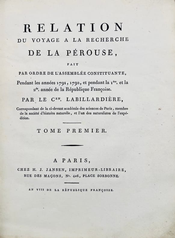
1800ref. 43698Paris, H.-J. Jansen, 1800 (an VIII). 2 vol. in-4 de XVI-442 pp. et 332-113 pp. pour les deux volumes de texte, et 1 atlas in-folio de 1 titre, 43 planches gravées hors texte et 1 grande carte dépliante, demi-basane verte, dos lisses ornés, entièrement non rogné, couvertures muettes conservées, l'atlas est en demi-veau à coins.
1701ref. 41392Trévoux, Paris, Jean Boudot, 1701. In-12 de (36)-352 pp. 1 carte et 7 planches repliées hors texte, maroquin janséniste rouge, dos à nerfs, filet à froid d’encadrement sur les plats, dentelle intérieure dorée, tranches dorées sur marbrure (reliure de l’époque).
1798ref. 42678A Paris, de l'Imprimerie de la République, 1798-1800. 5 vol. in-8 de (4)-VIII-(2)-CCI-(3)-294-(2) pp. ; VII-529 (1) pp., 3 tableaux dépliants ; (2)-VIII-474-(2) pp., 8 tableaux dépliants ; VIII-494-(2) pp.; XII-559-(4) pp. et 1 atlas in-folio de (2)-VIII-158-(2)- pp., 16 cartes dépliantes, basane racinée, dos lisse orné, pièces de titre et de tomaison en veau noir, tranches marbrées (reliure de l'époque).
1785ref. 42677Paris, Hôtel de Thou, 1785. Ensemble de 18 vol. in-8 et 3 vol. d'atlas in-4 de 52-67-88 planches, demi-veau havane, dos lisse orné de filets dorés, pièces de titre et de tomaison en veau vert (reliure de l'époque).