COOK James (1728 - 1779)MareMagnum

6 911 résultats
1773Edizione italiana della celebre carta dell’isola di Tahiti di James Cook. La presente carta è stata stampata come parte del resoconto ufficiale del primo viaggio di Cook, che fu curato dal critico letterario John Hawkesworth e sottoscritto dall'Ammiragliato britannico. An Account of the Voyages undertaken by the order of His Present Majesty for making Discoveries in the Southern Hemisphere... (Londra: W. Strahan and T. Cadell, 1773) raccontava i viaggi non solo di Cook, ma anche di Byron, Wallis e Carteret che si erano avventurati nel Pacifico per la Royal Navy in precedenza negli anni 1760. James Cook, fu nominato luogotenente al comando dell'Endeavour, un vascello di 370 tonnellate, salpò da Plymouth il 25 agosto 1768, conducendo seco J. Banks, il botanico Solander, e i pittori Buchan e Sydney Parkinson, l'ultimo dei quali acquistò fama per i suoi quadri d'interesse naturalistico. Dopo aver toccato Madera e Rio de Janeiro, doppiò il Capo di Buona Speranza e giunse nell'aprile del 1769 a Tahiti; riconobbe e rilevò l'arcipelago delle Isole della Società e, portata a termine la missione affidatagli, navigò verso SO., compiendo quasi per intero il periplo della Nuova Zelanda, dove scoprì lo stretto che da lui prese nome. Colpito dal fatto che, nonostante Tahiti fosse comunque uno scalo di estrema importanza per le navi che solcavano il Pacifico, la posizione segnata sulle carte risultava terribilmente approssimativa, Cook approfitta della sosta per calcolare anche latitudine e longitudine esatte dell’Isola, destinate ad arricchire e migliorare le attuali mappe nautiche che risultano sempre incomplete e notevolmente indeterminate. È il 13 luglio 1769 quando Cook dà ordine di salpare l’ancora, navigando sulla rotta prestabilita che dovrebbe portarlo verso Sud scopre altre isole facenti parti dell’Arcipelago di Tahiti alle quali conferisce il nome di Isole della Società, in onore appunto alla Royal Society. Acquaforte, finemente colorata a mano, in ottimo stato di conservazione. Italian edition of the map of Tahiti by James Cook. Captain James Cook (1728-1779) is considered to be the greatest explorer of the eighteenth century and was the finest maritime cartographer of the Age of Enlightenment. Having first worked on coal colliers and then distinguished himself as a surveyor in Eastern Canada, in 1768 he became the British Admiralty's choice to lead an unprecedented voyage of discovery. The central impetus for the expedition was to observe the Transit of Venus from Tahiti and then to proceed to explore Terra Australis Incognita, the supposedly rich southern continent. Whereas the first part of the voyage was to be conducted under the auspices of international scientific cooperation, the second part was entirely clandestine and was only communicated to Cook via "Secret Instructions" to be opened once at sea. Cook's party left Plymouth in August 1768 aboard the converted coal collier HMS Endeavor and proceeded to Tahiti by way of Cape Horn. They arrived in time to observe the Transit of Venus, which occurred June 3, 1769. Cook then proceeded towards New Zealand, to the coordinates recorded by Tasman. The present chart was printed as part of the official account of Cook's first voyage, which was edited by the literary critic John Hawkesworth and underwritten by the British Admiralty. An Account of the Voyages undertaken by the order of His Present Majesty for making Discoveries in the Southern Hemisphere… (London: W. Strahan and T. Cadell, 1773) recounted the voyages not only of Cook, but of Byron, Wallis, and Carteret who had also ventured to the Pacific for the Royal Navy earlier in the 1760s. Etching with fine later hand colour, good condition.
19938vo., First Edition, with photographs and maps in the text; buff boards, white cloth back lettered in gilt, ivory endpapers, a fine copy in unclipped dustwrapper.
1840In 8? (cm 21,5), Leg. coeva, pagg.27 testo bilingue (latino-italiano), lievi fioriture, ma buon esemplare, rara prima ed unica edizione. Fra' Pacifico, al secolo Guglielmo Divini (Lisciano, 1158 ca. ? Pas-de-Calais, 1234), fu uno dei primi e pi? stretti compagni di S. Francesco e fu anche il primo ministro francescano a portare il verbo del Poverello in Francia; prima di convertirsi a Francesco, fu uno dei pi? grandi autori di poesie del suo tempo, tanto da essere incoronato "Re dei versi" dall'imperatore.
réf. Z1-S-016-02595World Health Organization. Used - Acceptable. Used - Acceptable. Worn cover. Ships from UK in 48 hours or less usually same day. Your purchase helps support Sri Lankan Children's Charity 'The Rainbow Centre'. Ex-library with wear and barcode page may have been removed. 100% money back guarantee. We are a world class secondhand bookstore based in Hertfordshire United Kingdom and specialize in high quality textbooks across an enormous variety of subjects. We aim to provide a vast range of textbooks rare and collectible books at a great price. Our donations to The Rainbow Centre have helped provide an education and a safe haven to hundreds of children who live in appalling conditions. We provide a 100% money back guarantee and are dedicated to providing our customers with the highest standards of service in the bookselling industry. World Health Organization unknown
195136 pages. Features: British Columbians All; Can We Learn From History?; Letters; Pioneer Pilots of the Skeena - article with great photos; Our We Slaves to Our Clocks?; 210 Miles on Horseback - in 55 degrees below - to attend the funeral of Charlie Fortier, Chief of the Chu Chua Indians; Nature Oddities; Wonder-Weed Ramie Grass Would Revolutionize Textile Industry; B.C. History - Finance and Early Vancouver Island Events; Some Observations of a Rambling Angler; The Monument - poem by an unknown author; Frontal Attack - From the Rear! - a skunk story; The Mighty Hunter; "Pacific Pete" in Big Program - Westcoast's ammended all-Canadian natural gas pipeline route to Vancouver and cities of the U.S. pacific coast; Stewart, B.C. - article with photos; Nice ads on covers include Finning, the Yukon Brewery Syndicate, Port Hope Garage Ltd., and The Charles Hotel; Dozens of nostalgic local ads, some with photos. Unmarked. Moderate wear. A sound vintage copy. Magazine
réf. B9781167636349New. unknown
réf. 1167636341.Gpaperback. Good. Access codes and supplements are not guaranteed with used items. May be an ex-library book. paperback
réf. 1160051127.Gpaperback. Good. Access codes and supplements are not guaranteed with used items. May be an ex-library book. paperback
1991viii + 491pp.with some ills., [Doctoral dissertation, Katholieke Universiteit Nijmegen, 1991], R32379
1749réf. LBW-8991749 280 x 543 mm.
réf. 10962Tableau géographique et statistique de l’Ile Bourbon. Baudoin frères éditeurs. Imprimerie de D’Urtubie et Worms, sans date (1831) 590x460mm avec le texte et la marge. 220 x240mm, carte en couleur seule. Très bon état
2000réf. R300312628Hazan. 2000. In-8. Relié. Etat d'usage, Couv. convenable, Dos satisfaisant, Intérieur frais. 157 pages - nombreuses illustrations en noir et blanc et en couleurs dans et hors texte. Jaquette frottée en coins et coiffes.. Avec Jaquette. . . Classification Dewey : 996-Autres régions du pacifique
1980réf. IC037871980 83 p., 20 figs, 14 pls, paperbound. Zoologische Verhandelingen.
1980réf. IC115841980 83 p., 20 figs, 14 pls, paperbound. Zoologische Verhandelingen. Crisp copy, as new.
réf. 16366USIS, New York,1945, 1st edition, very good condition, pictorial wraps, published by 174 pages. An overall account of the United States Navy Task Force 58, and the Aircraft Carrier Pacific Sea Battles. Profusely illustrated with photographs.
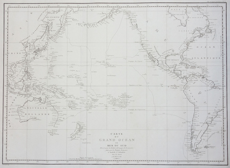
1797réf. LBW-2785[Paris, 1797]. 510 x 699 mm.
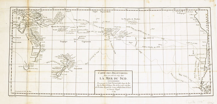
1774réf. LBW-6111774 235 x 535 mm.
1991réf. R32379s.l., 1991 viii + 491pp.with some ills., [Doctoral dissertation, Katholieke Universiteit Nijmegen, 1991], R32379
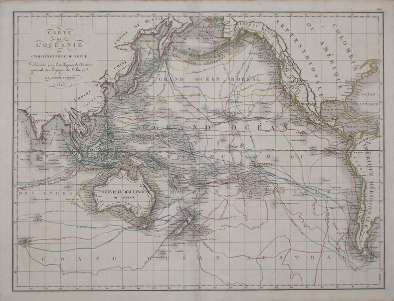
1825réf. LBW-31631821 [1825]. 408 x 544 mm.
1971réf. PB261841971 277 p., 86 figs, 31 pls, original printed boards. Comm. Australia Bureau of Mineral Resources. With author's dedication to Dr. Winkler Prins.
1977réf. MM153821977 114 p., 21 (groups of) figs, 6 pls, 1 map, paperbound. Includes the description of some new species.
1929Four Unique Reports on Captain James Cook. 30 pages. Includes black and white plates, plus a fold-out colour map. Original condition with blue wrappers, titles to front, and containing all the ads. This is a complete issue, seldom found in such good and original condition. This is a fantastic tribute to recount the merits and achievements of a once young apprentice to a shipping company at age 18, who later became one the world's most respected and accomplished explorers, and who commanded three voyages of discovery for Great Britain, and sailed around the world twice, the famous Captain James Cook. The first is a paper which was contributed to the Celebrations at Honolulu in August, 1928, a celebration with a threefold interest. The discovery of the Sandwich Islands was an event of unique importance in the story of the Hawaiians, and an incident of a typical and significant kind in the history of England; it is also the earliest recorded event in the history of what is now a State of the USA. On the topic of the Founding of British Power in the Pacific, Professor Holland answers in detail, the questions of what may have motivated the British Admiralty to unveil the age-old mystery of the southern tracts of the great Southern Ocean, and who sent Cook on those three long voyages. Cook, along with his patient crew of the Resolution hammered away at the Antarctic barrier, his iron strength breaking down under the prolonged strain of cold and privation, varied only by nauseating meals of highly salty meat and mouldy biscuits. Captain Cook has been hailed not only as the discoverer of several groups of islands in the Pacific, as the intrepid voyager who explored the coasts of New Zealand and Eastern Australia, but also as the chief explorer of the coast which is now Bristish Columbia, as the man who started the impulse which led to the North American-China trade, and thus laid the foundations of British power both in the southwestern and northwestern parts of the Pacific Ocean. Not only a renowned British Navigator and Explorer, this report includes fascinating detail of his career as a Hydrographical Surveyer, as well as an Astronomer. It was at age thirty that he was first heard of as a surveyer in connection with his well-known work of examining the St. Lawrence River and its channel, therefore making possible the attack on Quebec and the passage of the ships of the fleet in waters where the enemy had not dared to risk their vessels. Captain Cook's voyages lead to the establishment of colonies throughout the Pacific by several European countries. He travelled from his homeland of Great Britain to lands where few had gone before; bringing home much for his country. He was a discoverer, a mapmaker, and an innovator in the process of long distance sea travel.
20048vo., First Edition, with illustrations and maps in the text; green cloth, a near fine copy in dustwrapper. Collects thirteen important essays.
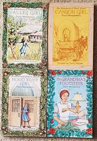
1982réf. SHEL1993Underwood WA: Monte 1982. First Edition. Soft cover. Fine. Four titles of "The Adventures of Hazel Weston" all first editions but Canyon Girl 2nd printing revised. The other three are first printings. 1982-1985. Attractive pictorial wraps. Various paginations. Valley Girl is signed signed only. Illustrated with drawings by Terry Harper. Just a tad used but still graded in fine condition. 1st editions quite scarce. Juvenile fiction set in Oregon locations. Monte unknown
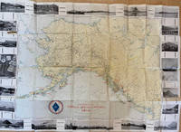
1917réf. List1730Chicago: Poole Brothers 1917. Folding map measuring 38 ½ x 26 ¾ inches. Tape repairs to verso some tears at folds and edges still bring and attractive good to very good overall with excellent restoration potential. A map of the canneries in Alaska British Columbia and Washington operated by the Deming and Gould Company who were influential in the growth of the Alaskan salmon trade. The map's date of printing 1917 suggests that perhaps it was related to the war effort as salmon demand increased during this period. The Demings based in Chicago were influential in the growth of the salmon trade in Alaska and the Pacific Northwest founding Pacific American Fisheries Inc. in 1899 and continuing in various iterations until their sale of the firm in 1934 due to president E.B. Deming's ailing health. The map shows seventeen different canneries several on the Alaska peninsula and the one in Bellingham. We find no record of this imprint only a later and small version held at the University of Washington. Poole Brothers unknown books