7 338 résultats
réf. 11720Paris, Le Livre Contemporain, 1959 14 x 21, 284 pp., cartonnage éditeur + jaquette, très bon état
1972réf. R300266762France-Empire. 1972. in-12. Broché. Etat d'usage, Coins frottés, Dos frotté, Intérieur frais. Paris, France-Empire, 1972, in 12, broché, photos, 318 pp.. . . . Classification Dewey : 996-Autres régions du pacifique
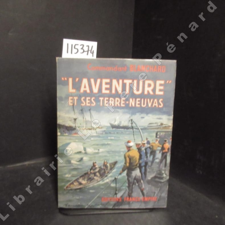
1952réf. 1153741952 Editions France-Empire (EFE) - 1952 - In-8, broché, jaquette illustrée - 316 pages - Reproductions photographiques en N&B hors texte - Une carte dépliante en fin d'ouvrage
1988réf. RO20217658Le Rocher. 1988. In-8. Broché. Bon état, Couv. convenable, Dos satisfaisant, Intérieur frais. 150 pages.. . . . Classification Dewey : 996-Autres régions du pacifique
réf. 36795Paris, Alpha/Laffont, 1980. 23 x 30, 120 pp., très nombreuses illustrations en couleurs (et en N/B), cartes en couleurs, cartonnage d'édition imprimé, état neuf.
2008réf. R100061025Perrin. 2008. In-8. Broché. Bon état, Couv. convenable, Dos satisfaisant, Intérieur frais. 688 pages.. . . . Classification Dewey : 996-Autres régions du pacifique
1937réf. R300313709Gallimard. 1937. In-8. Broché. Etat d'usage, Couv. légèrement passée, Dos plié, Papier jauni. 211 pages - nombreuses photos, illustrations et quelques cartes en noir et blanc dans et hors texte. Ex libris à l'encre en page de titre.. . . . Classification Dewey : 996-Autres régions du pacifique
réf. 44669New York, Overseas Editions, 1944. 12 x 16, 181 + vi pages, broché, bon état.
réf. 61651New-York, Les Editions Transaltlantique, 1944. 12 x 18, 114 pp., broché, bon état.
1848réf. 0008767circa 1848-9. Fine. 8.5 x 14.5 cm / 11 x 17.5 cm; Having already accepted Texas as its 29th state in 1845 the U.S.A. in The Treaty of Guadalupe Hidalgo 2 February 1848 acquired 6 additional territories including Californa which eventually acquired statehood. This map was the recto of leaf 378/379 in probably a then-new history textbook. It is the same map with the identifier DLMW148 on the ImageBase of Virginia Tech University. This hand-colored in outline map shows the old boundaries and the new boundaries of Texas Upper California and Mexico and eastward to the Mississippi River and the Gulf of Mexico. unknown
1970176 pages including index and black and white photographic plates. Provides tales of harrowing experiences of shipwrecked mariners on the West Coast Lifesaving Trail: of the bravery of rescuers and rescued alike."Scott writes from personal experiences as well as diligent research. We can think of no man better qualified to write this book." - Alec Merriman, Daily Colonist. Gift greetings upon title page else unmarked. Small chip from illustrated back cover. Average wear. A decent third edition copy of this fascinating work. Book
1992réf. R100056337L'Harmattan. 1992. In-8. Broché. Bon état, Couv. convenable, Dos satisfaisant, Intérieur frais. 217 pages.. . . . Classification Dewey : 996-Autres régions du pacifique
réf. 9779Annales de l'Extrême-Orient et de l'Afrique, n° 123. Paris, Challamel, septembre 1888. In-4, broché.