EDWARDS BryanLivre Rare Book
77 resultados
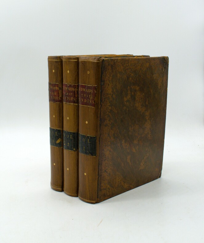
1794ref. PHO-1886John Stockdale, Londres, 1794-1801, 3 volumes in-4 (275 X 225 mm), reliés plein veau marbré époque (restauration ancienne), pièce de titre rouge et de tomaison vert. Tome I, liv-494 pp., Tome II 520 pp, Tome III (1801) xix 443 pp., illustré de 3 frontispices, 11 cartes dont une en double feuille et dépliante (720 X 620) (cartes des Indes occidentales), 2 dépliantes Saint Domingo (250 X 225) et Jamaïque et 8 planches h.t., ex-libris en page de garde, déchirures aux pliures et brunissures en marge de la grande carte, frottements, griffures, pièces de titre et tomaison avec petits manques, quelques brunissures sur les titres et quelques feuillets.
1758FIRST AND ONLY EDITION OF THIS ATLAS OF THE BRITISH WEST INDIES, published in France during the Seven Years' War (also known as the "French and Indian War".) xii, 171 pp + engraved title and THIRTEEN FINE MAPS, of which 8 are folding (complete). Also illustrated with ten headpieces, nine of which depict the entry into a major port. Includes Jamaica (with several maps), Barbuda, St. Kitts, Nevis, the Virgin Islands, Anguilla, Antigua, the Lucayes (now the Bahamas), and Bermuda. 4to (26 x 20.3 cm). Attractively bound in contemporary calf, with the ARMS OF KING LOUS XV OF FRANCE EMBLAZONED IN GILT ON FRONT AND BACK COVERS. Binding restored at head and tail of spine, and very solid. Small, faint marginal stain to engraved title-page, else INTERNALLY FINE AND BRIGHT, WITH MAPS AND TEXT VERY FRESH. Sabin 4553. RARE AND IMPORTANT.