Kister, Kenneth FAntiquariat.de

49 662 résultats
1986réf. 70138Phoenix: Oryx Press 1986. 356 Seiten. Gr. 8° (22,5 -25 cm). Orig.-Leinenband. [Hardcover / fest gebunden].
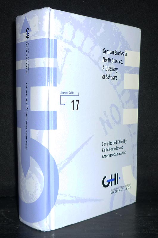
2004réf. 90750Washington, DC: Deutsches Historisches Institut (German Historical Institute) 2004. (6), 1165 Seiten. Gr. 8° (22,5-25 cm). Orig.-Pappband. [Hardcover / fest gebunden].
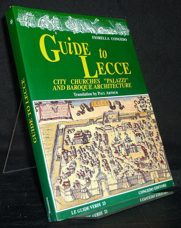
2001réf. 94306o.O.: Congedo Editore 2001. 154 Seiten. Mit zahlreichen Illustrationen. 8° (17,5-22,5 cm). Illustrierte Orig.-Broschur. [Softcover / Paperback].
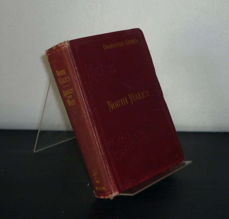
1909réf. 106869London, Edinburgh, Dublin & New York: Thomas Nelson 1909. VII, XXVI, 238; XVIII, 160, 48 Seiten. With 33 maps/plans and 4 panoramas (= prob. complete). Kl. 8° (15-17,5 cm). Flexibler Orig.-Leinenband mit goldgeprägtem Titel auf Deckel und Rücken. [Hardcover / fest gebunden].
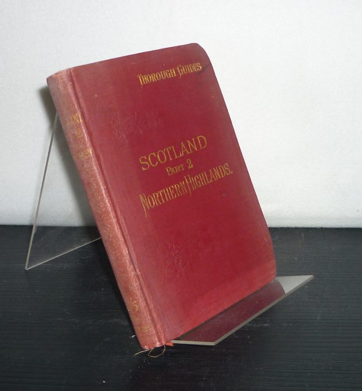
1915réf. 106868London, Edinburgh, Dublin & New York: Thomas Nelson 1915. VII, VIII, 145, 36 Seiten. With many maps. Kl. 8° (15-17,5 cm). Flexibler Orig.-Leinenband mit goldgeprägtem Titel auf Deckel und Rücken. [Hardcover / fest gebunden].
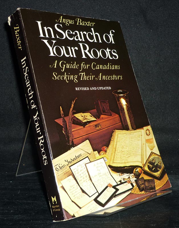
1981réf. 94093Toronto: MacMillan of Canada 1981. 293 Seiten. Gr. 8° (22,5-25 cm). Illustrierte Orig.-Broschur. [Softcover / Paperback].
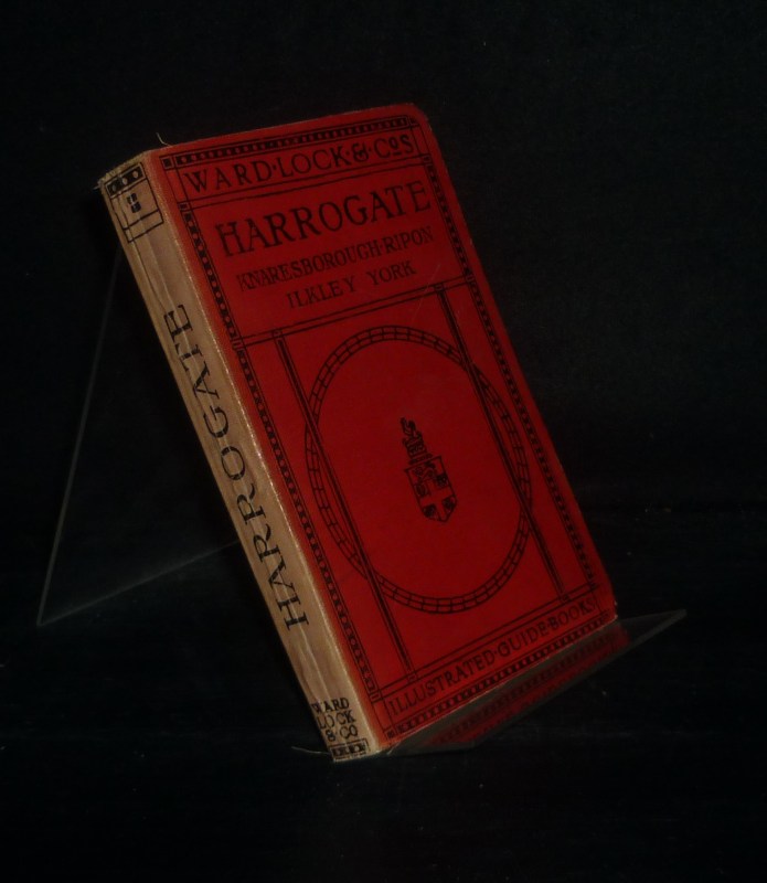
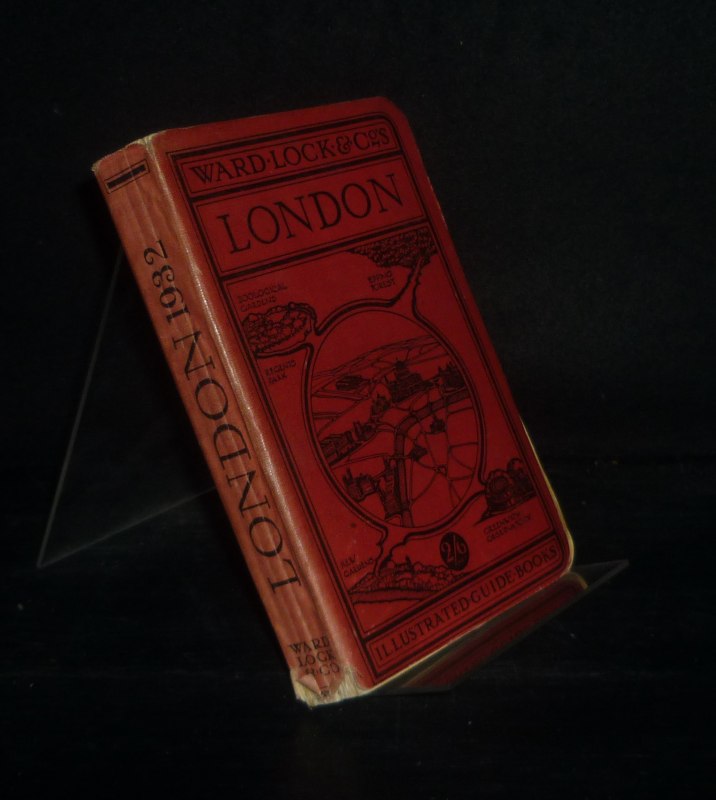
1920réf. 107691London: Ward, Lock & Co. (um 1920). Upwards of sixty illustrations [and various plans]. Kl. 8° (15-17,5 cm). Flexibler Orig.-Leinenband, [Hardcover / fest gebunden].
1920réf. 107693London: Ward, Lock & Co. (um 1920). Over one hundred illustrations [and various plans]. Kl. 8° (15-17,5 cm). Flexibler Orig.-Leinenband, [Hardcover / fest gebunden].
1920réf. 107695London: Ward, Lock & Co. (um 1920). Upwards of seventy illustrations [and various maps/plans]. Kl. 8° (15-17,5 cm). Flexibler Orig.-Leinenband, [Hardcover / fest gebunden].
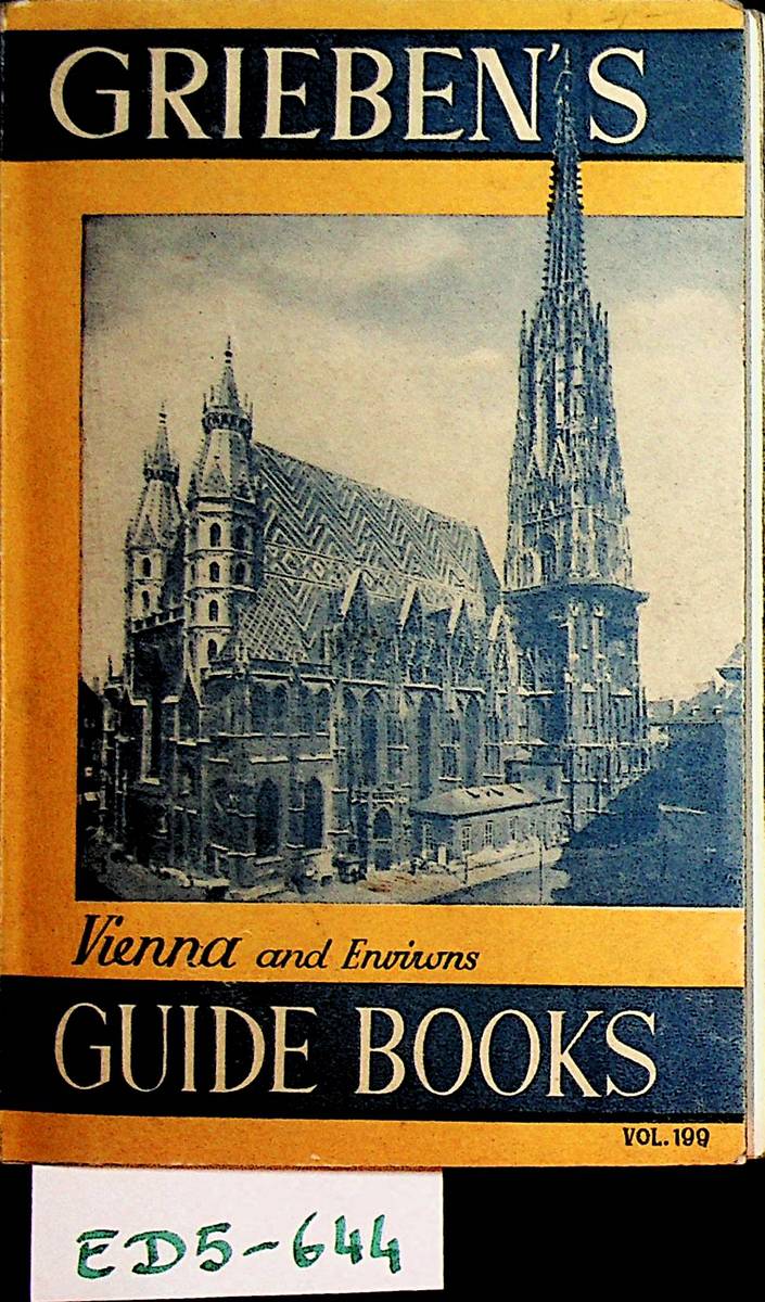
1955réf. ED5-644Vienna, Heidelberg, Verlag Carl Ueberreuter, 1955. 9th edition, original paperback, small 8vo, 150 pages, with 2 maps in colour, ONLY 1 SKETCH MAP and 8 illustrations, cover a little bit worn, one map also worn, some markings in the text, apart from that good copy
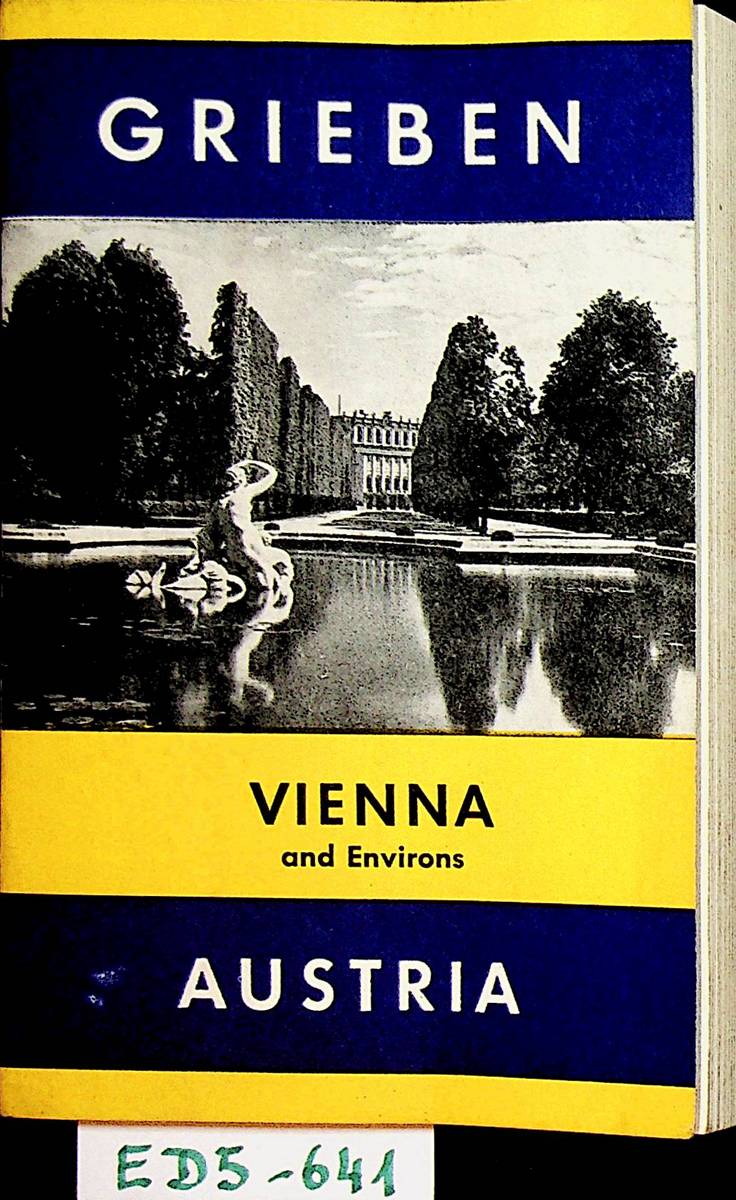
1972réf. ED5-641M?nchen, Karl Thiemig AG, 1972. original paperback, small 8vo, 196 pages, (2 p.),, with map of the city and ist environments, good copy // original kartoniert, kl.-8?, 196 Seiten, (2 S.) und Stadtplan und Umgebungskarte von Wien; Zustand: gut
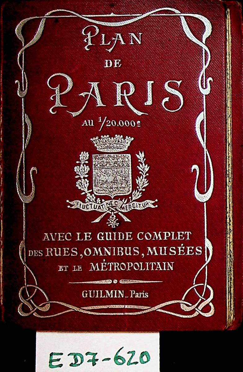
1920réf. ED7-620Paris, Guilmin, [ca. 1920]. toile originale, in-douze, 64 p. , un plan "Nouveau plan de Paris divis? en 20 arrondissements indiquant toutes les Rues nouvelles, ainsi que le num?ros des maisons sur les gr.des voies", exemplaire us?e, toile ouverte sur le joint ? l'exterieur, ?tat acceptable
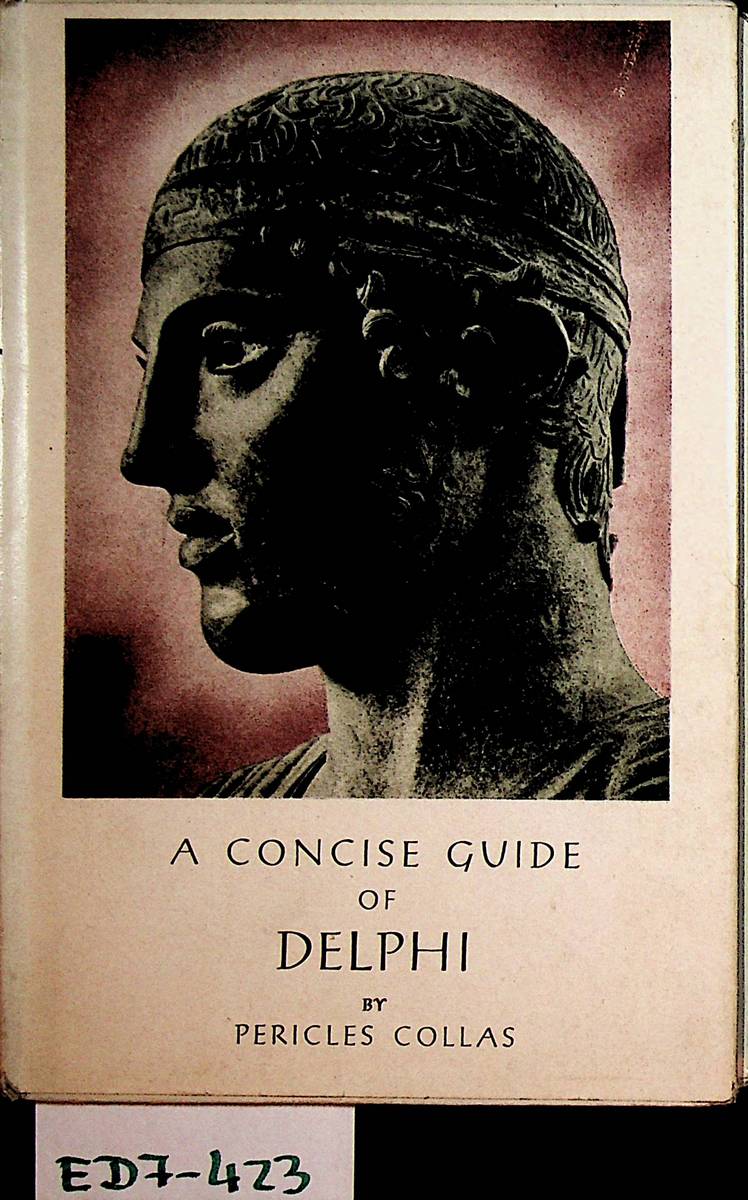
1950réf. ED7-423Athens (Athen), C. Cacoulides Publisher, [ca. 1950]. original cased binding with original dust wrapper, small-8vo, 48 p., numerous photographs by Dimitrios Harissiadis, good copy
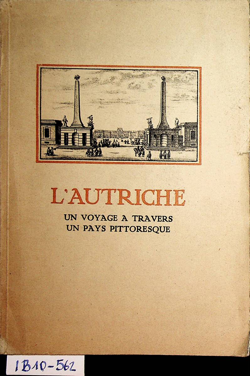
1922réf. IB10-562Vienne, L'association des banques et banquiers autrichiens avec l'assistance du ?sterreichisches Verkehrsb?ro, [1922]. cartonnage originale, grand in-otavo, 88 p. avec des images et des annonces, avec une carte de la R?publique d'Autriche, cartonnage us?e, apart de ca bon ?tat
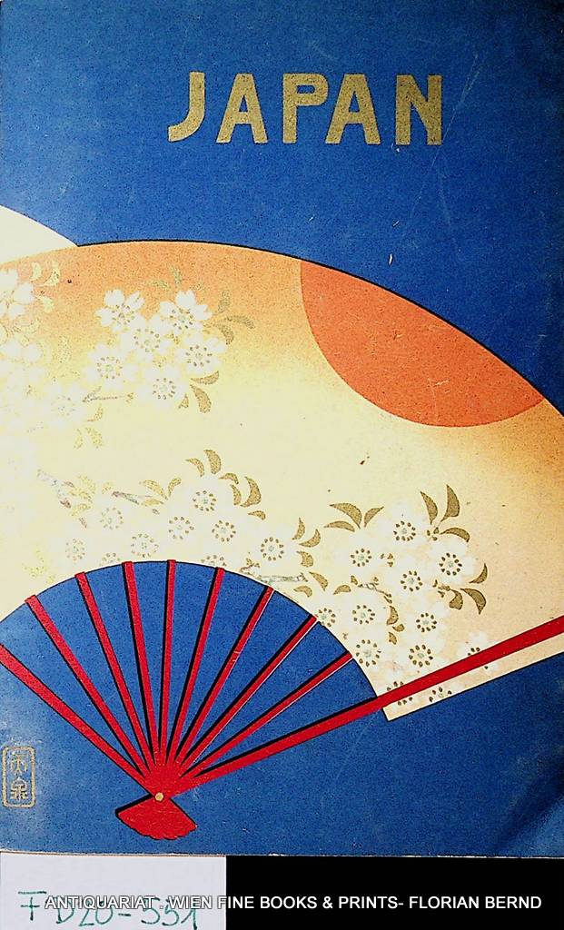
1935réf. FD20-551Tokyo, Board of Tourist Industry Japanese Government Railways, 1935. original soft cover, 8vo, xv, 182 pages with numerous images, one folded map, good copy
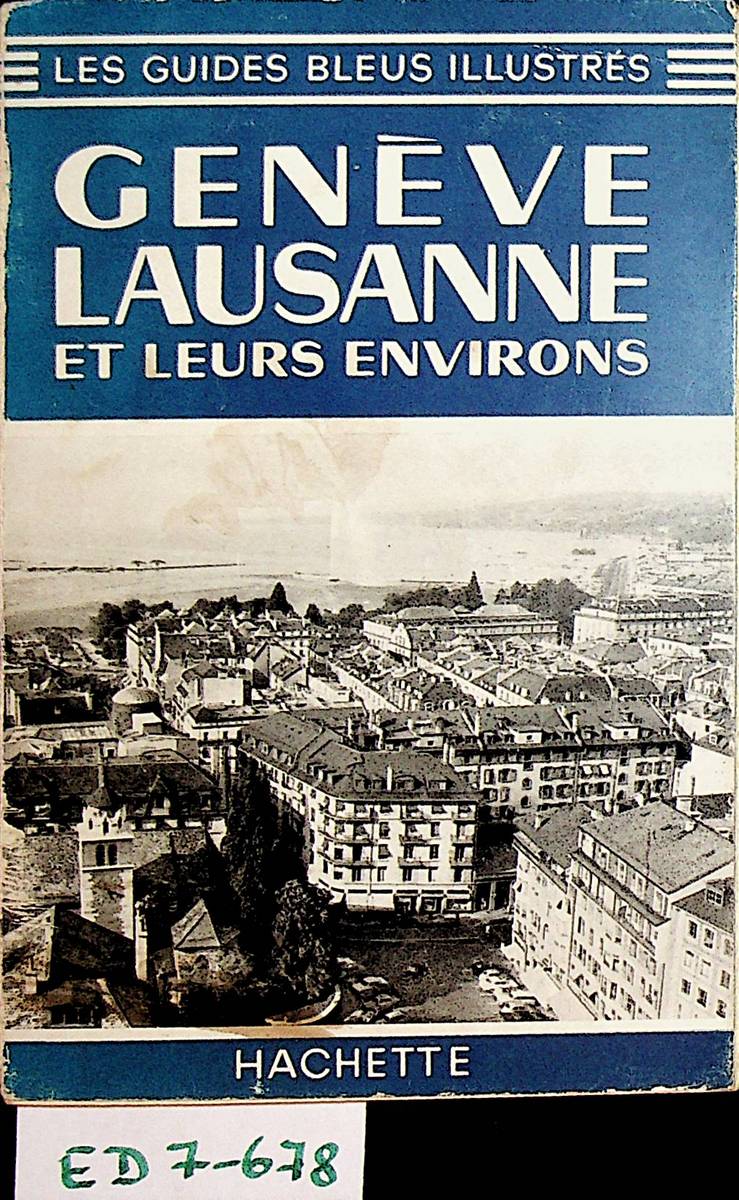
1965réf. ED7-678Paris, Librairie Hachette, 1965. cartonn?, in-douze, 79 p., avec des illustrations et trois plans pli?s, reliure frott?e, a part ca bon ?tat
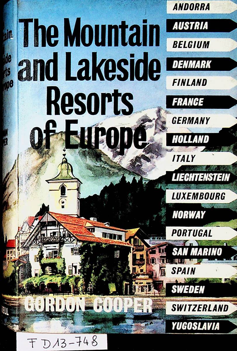
1961réf. FD13-748London, Cassell, 1961. original cased binding, 8?, xi, 272 pages With plates and maps; a good copy
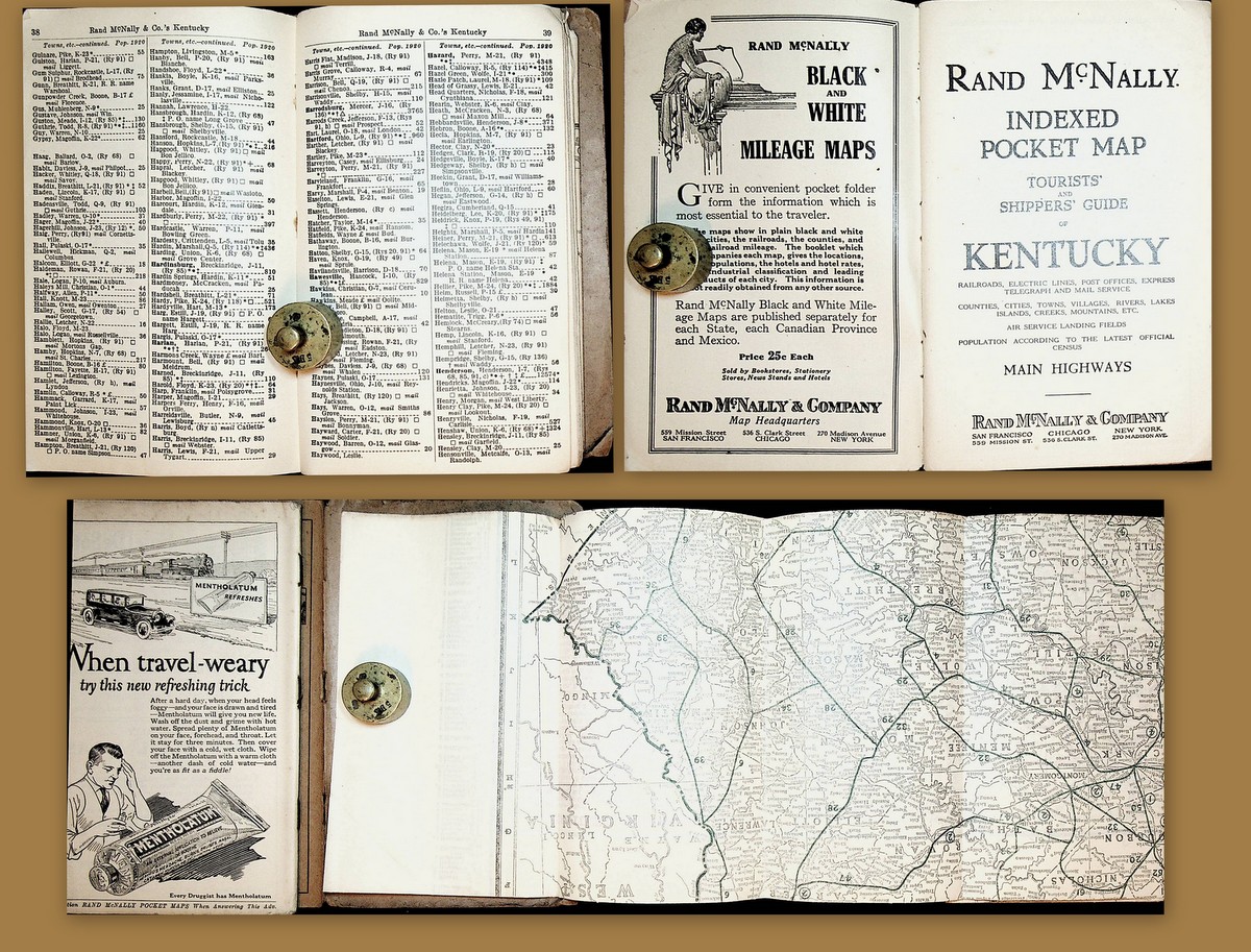
1926réf. K-1887San Francisco, Chicago, New York, Rand McNally & Company, 1926. original soft cover, 75 pp. with lots of illustrations, map printed on on both sides with 'Rand McNally Main Highway Map of Kentucky' and 'Rand McNally Standard Map of Kentucky' with public transportation; staples of booklet rusty, booklet loose, map in fair condition
1980réf. 3086858Montmorot: Archives Departmentales de Jura 1980. (4), 128 Seiten. 8° (17,5-22,5 cm). Illustrierte Orig.-Broschur. [Softcover / Paperback].
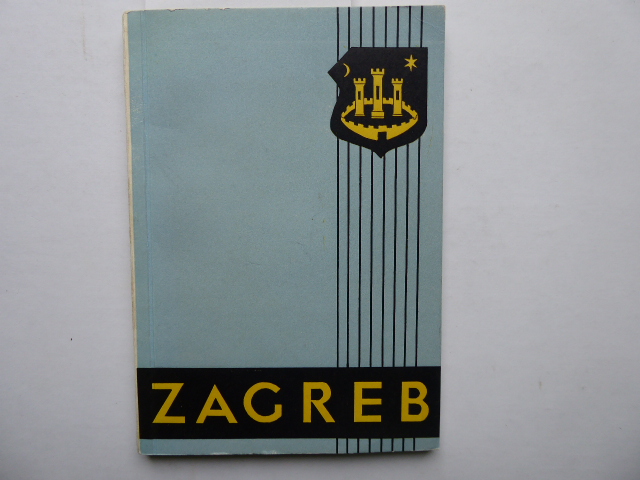
1956réf. 146616Zagreb 1956. 176 Seiten u. ein Werbeanhang. Mit zahlreichen Abbildungen u. Kartenskizzen. Farbige Originalbroschur. 19x14 cm
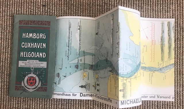
1910réf. 11169ABCuxhaven / Helgoland, Verlag Aug. Rauschenplat, ohne Jahr (ca. 1910). Farbig illustrierter Orig.-Broschur. Klammerheftung., 11169ab|11169ab 2|11169ab 3 [3 Warenabbildungen] 10.-20. Tsd. Stellenweise leicht gebräunt. Insgesamt wohlerhaltenes, sauberes Exemplar.
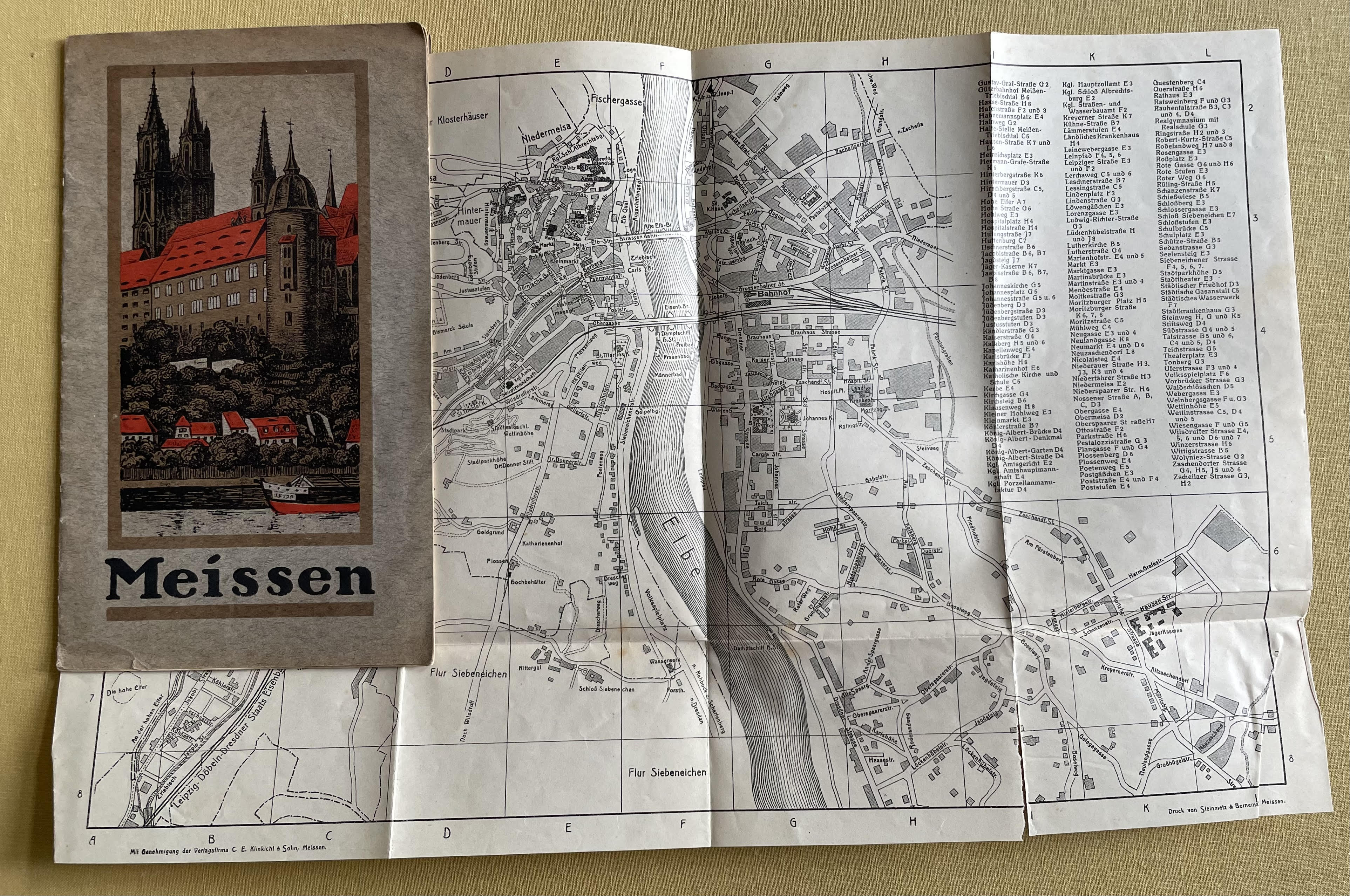
1910réf. 12127ABMeissen, Steinmetz & Börnemann., Ohne Jahr (ca. 1910). 12,5 x 13 cm. 20 Seiten. Mit s/w Abbildungen und 1 Faltplan im Anhang. Orig.Broschur mit farbig illustr. Deckelbild, Rückendeckel mit Wappen., 12127ab Umschlag leicht ebräunt und minimal geknittert, sonst wohlerhalten und sauber.
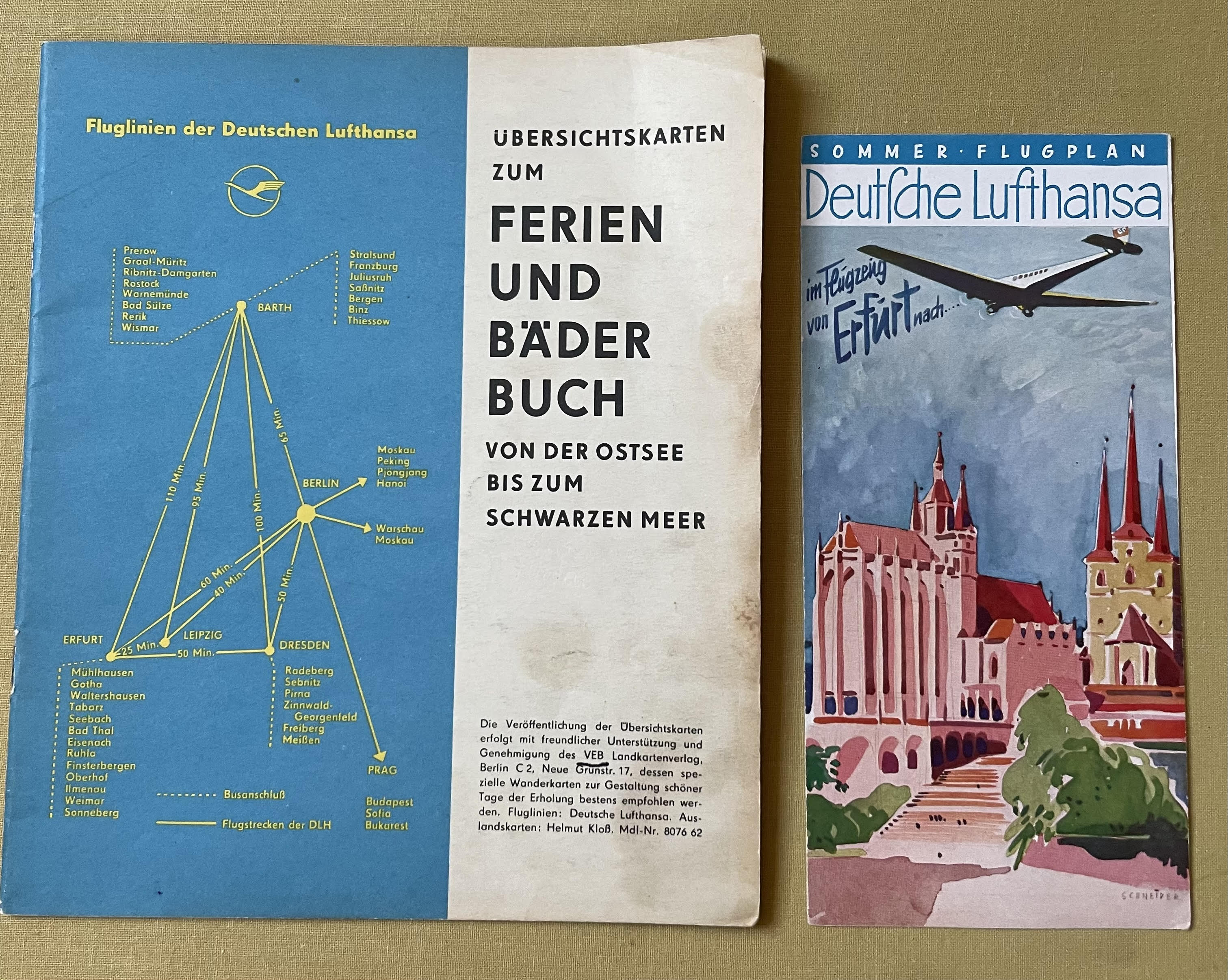
1933réf. 12229ABBerlin, Verlag R. Wendt & Co., ohne Jahr (ca. 1933?). 12229ab|12229ab 2|12229ab 3|12229ab 4 [4 Warenabbildungen]
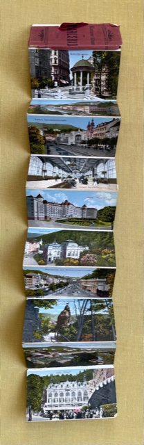
1890réf. 11896ABOhne Ort, ohne Verlag, ohne Jahr (ca. 1890). 5 x 9 cm (ca. 57 x 9 cm), 11896ab
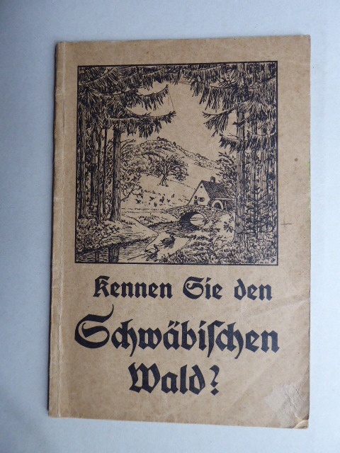
1914réf. 21640Lorch. Verlags- u. Handelsdruckerei. 1914. 38, (2) Seiten. Mit mehreren Abbildungen u. einer Kartenskizze auf dem Einband. Dekorativ ill. Originalbroschur (Etwas fleckig u. an den Rändern teils etwas knittrig) 18x12 cm