Karl BaedekerBiblio.com
1908réf. 1032H2Leipzig; : Karl Baedeker Publisher 1908 . Cloth. Very Good Indeed. 6.5" by 4.5". None Stated. A profusely illustrated Baedeker guide to Egypt and the Sudan with twenty-four maps and seventy-six plans offering a fascinating record of the Nile Valley and its archaeological treasures. In the publisher's original red cloth binding. The sixth remodelled edition of Baedeker's English-language guide to Egypt substantially revised and expanded to incorporate the Sudan. Illustrated with twenty-four maps seventy-six plans and numerous vignettes. Collated complete. A comprehensive early 20th-century travel guide to Egypt and the Sudan covering Alexandria Cairo the Pyramids of Giza Luxor Thebes Assuan and Khartoum. With practical information concerning transport accommodation customs and local conditions alongside substantial historical archaeological and geographical accounts of the region. In the publisher's original cloth binding. Externally very smart. Slight rubbing and bumping to extremities. Slight rubbing to spine. One or two light marks to boards. Light scattered spotting to endpapers. Internally firmly bound. Pages bright and clean. Slight age toning with the odd light spot to fore edge heavier to first and last few leaves and the odd gathering. One or two very minor short closed tears to maps at points of extension. Very Good Indeed Karl Baedeker, Publisher hardcover
1912réf. 99680Leipzig - Paris, K. Baedeker - P. Ollendorff, 1912, in-16, XCIX-458 p p. 20 cartes 52 plans 1 panorama, Cartonnage d?éditeur en percaline rouge, dos lisse orné, tranches marbrées, Cet ouvrage est un "manuel du voyageur" paru en 1882 pour la première fois. Il est rédigé par le libraire et écrivain allemand Karl Baedeker, connu pour son succès dans le domaine des guides de voyage grâce à l'introduction du format « de poche ». Il est muni d'un alphabet et d'un petit dictionnaire de la langue arabe afin d'aider les voyageurs à parler la langue des pays évoqués. Ouvrage offrant 20 cartes, 52 plans, et un panorama dépliant de Jérusalem. 2 minuscules déchirures marginales à la carte de Syrie sans manque, dos gauchi, frottements. Couverture rigide
1897réf. 62206Leipzig / Paris: Baedeker / Ollendorff 1897. In-16 p. mm. 158x102 tela editoriale pp. XLVIII447 illustrato come da Indice da 14 carte geografiche 22 piante di città e monumenti a colori e più volte ripieg. nel testo e fuori testo. Con note introduttive sulla geografia storia e religione della Russia. Seconda edizione corretta e aggiornata di questa importante guida così suddivisa: Gouvernement général de Varsovie - Provinces baltiques et l'Ouest de la Russie - St. Pétersbourg et ses environs - Grand-duché de Finlande - Le centre et le Sud de la Russie - Le Caucase. Lieviss. alone marginale altrimenti esemplare ben conservato. Baedeker / Ollendorff, hardcover
1929réf. 140923Leipzig: Karl Baedeker - London: George Allen & Unwin - New York: Charles Scribner's Sons 1929. Eighth revised Edition. With 106 Maps and Plans and 56 Woodcuts. Englischsprachige Ausgabe klassischer roter Original-Leineneinband mit Original-Schutzumschlag goldgeprägtem Rücken-/Deckeltitel und zwei Lesebändchen CCVIII 495 Seiten mit farbig marmoriertem Seitenschnitt. Schutzumschlag Randläsur. Gutes und sauberes Exemplar. Leipzig: Karl Baedeker - London: George Allen & Unwin - New York: Charles Scribner's Sons unknown
1912réf. 7549ALeipzig, Baedeker, 1912. Kl.8°. LXII, 570 S. Mit 40 Karten, 67 Plänen und 11 Grundrissen. OLn. mit Deckel- und RVg. Rücken angestaubt. 7. Auflage.
2001réf. 82883ABParis, Bibliothèque historique de la Ville de Paris, 2001. 24,5x16,5 cn. 2 Bl., 121 SA., 1 Bl. Mit vielen farb. Abb. OEngl.-Br. mit farb. Deckelbild.
1902First and last few pages browned and frail. Front free endpaper with a tiny chip. ; A nice and tight copy ; 16mo; 408 pages
1930DJ with very light chipping and with a 2" closed tear to front cover. ; With 48 maps and plans. Extremely rare in this condition, with DJ and still with bold marbled edges as well as silk ribbons ; Maps; 16mo 6" - 7" tall; xl, 522, 64 pages
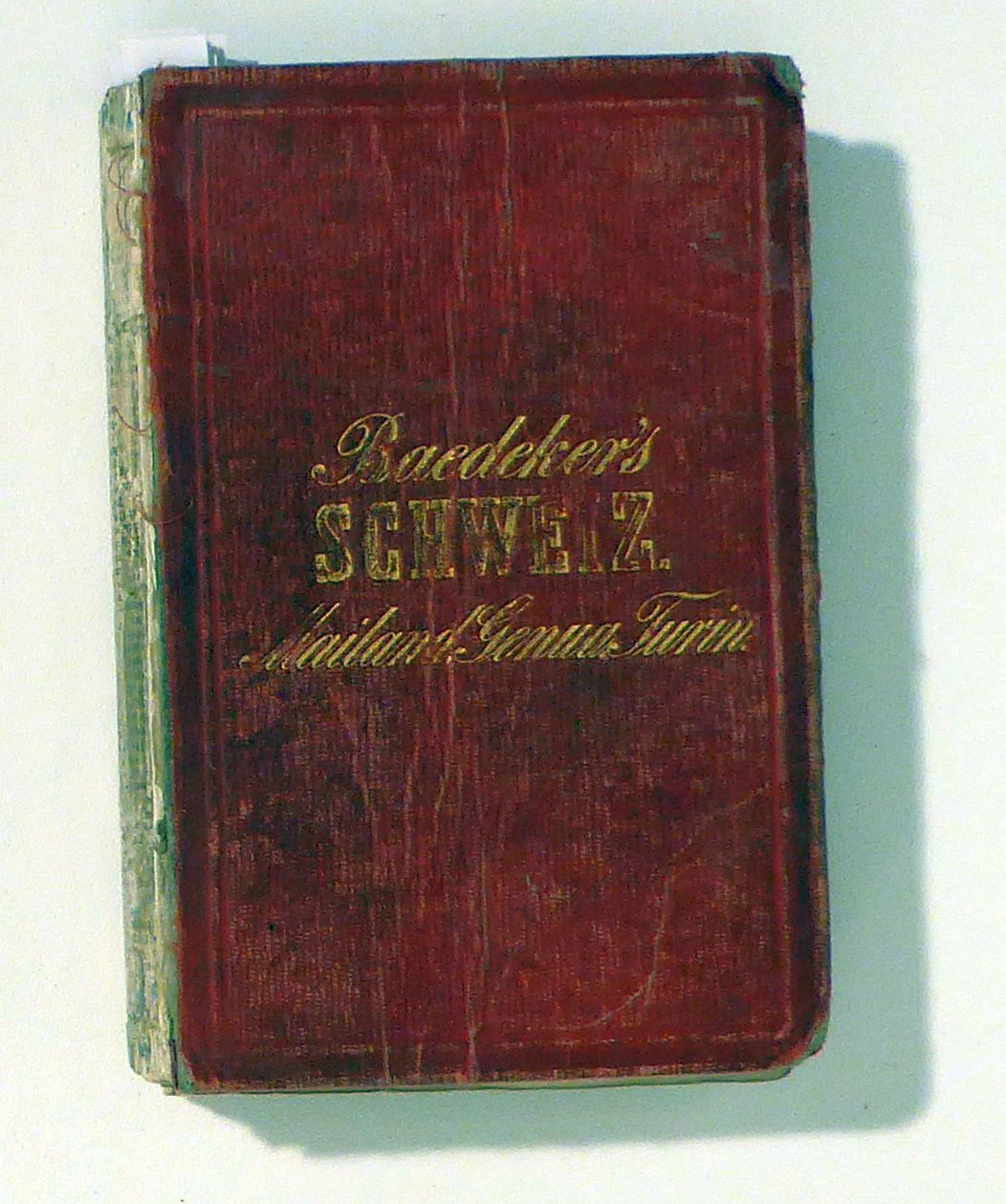
1857réf. 126471Coblenz, Baedeker, 1857. XLVII, 400 S., mit Plänen von Basel, Bern, Zürich, Genf, Lausanne, Mailand, Genua und Turin sowie mit zwei Bergskizzen, zwei Panoramen und mit 15 (der 16) Ansichten. Original-Leinwand, kl.8°. Hinrichsen D 295. Die beiden mehrfach gefalteten Alpenpanoramen - das eine von der Rigi, das andere von der Casino-Terasse in Bern - sind mehrfarbig und haben eine umfangreihe Legende mit Bergnamen und deren Höhen. Mit hier noch getrenntem Personen- und Ortsregister, später wurden sie bei Baedeker zusammengeführt. Siebente verbesserte Auflage. Hardcover Einband gebrochen und stark berieben. Hinterdeckel lose, Rücken fehlt. Buchblock zerfallen; die Karte der Hauptpoststrassen ist auf den Innendeckel geklebt, eine der 16 blau gedruckten Ansichten fehlt.
1936réf. 17343Leipzig: Karl Baedeker. Very Good. Sixth Edition. Hardcover. Gilt lettering to boards and spine a bit faded. Else in NF condition with the original bright marbled edges.; Including map in rear pocket.; 16mo 6" - 7" tall; 524 pages . 1936. Karl Baedeker hardcover
1912réf. 17411Leipzig: Karl Baedeker. Very Good. Fourth Edition. Hardcover. "Avec 21 cartes 56 plans et un panorama de Jérusalem"; 16mo 6" - 7" tall; 458 pages . 1912. Karl Baedeker hardcover
1910réf. 17409Leipzig: Verlag Von Karl Baedeker. Very Good. Seventh Edition. Hardcover. Top and fore edge a bit tanned.; "Mit 21 Karten 56 Plänen u. Grundrissen un einem Panorama"; 16mo 6" - 7" tall; 431 pages . 1910. Verlag Von Karl Baedeker hardcover
1857réf. 126471Coblenz: Baedeker 1857. Siebente verbesserte Auflage. Hardcover. Einband gebrochen und stark berieben. Hinterdeckel lose Rücken fehlt. Buchblock zerfallen; die Karte der Hauptpoststrassen ist auf den Innendeckel geklebt eine der 16 blau gedruckten Ansichten fehlt. kl.8°. mit Plänen von Basel Bern Zürich Genf Lausanne Mailand Genua und Turin sowie mit zwei Bergskizzen zwei Panoramen und mit 15 der 16 Ansichten. Original-Leinwand Hinrichsen D 295. Die beiden mehrfach gefalteten Alpenpanoramen - das eine von der Rigi das andere von der Casino-Terasse in Bern - sind mehrfarbig und haben eine umfangreihe Legende mit Bergnamen und deren Höhen. Mit hier noch getrenntem Personen- und Ortsregister später wurden sie bei Baedeker zusammengeführt. Schweiz; 19. Jahrhundert; Reiseführer; Helvetica; Baedeker Baedeker, hardcover
1889réf. 4476Leipsic Germany: Karl Baedeker; Dulau and Co. 1889. hardcover. Fair. N/A. Publication: Leipsic Karl Baedeker Publisher; London Dulau and Co. 1889 Formatting: 16mo pp. cxvi 374. Condition Report: Fair. The publisher's original limp cloth binding shows significant signs of historical travel and handling with the boards heavily faded from their original vibrant colour to an even muted tan. The front outer joint is prominently split along the cloth leading to fraying at the extremities and spine ends while the gilt tooling to the front board remains legible but oxidised. Internally the binding is compromised by a cracked front inner hinge leaving the text block somewhat shaken and exposing the underlying mull. However the marbled text block edges remain relatively bright and the internal pages display only mild uniform age-toning with a clean presentation largely free from serious foxing or major handling wear. Catalogue Note: This is the scarce first English edition of Baedeker’s guide to Greece. Translated and adapted from the earlier German editions it provided late-Victorian British travellers with unprecedented logistical and historical detail. The volume boasts a comprehensive suite of illustrative materials containing a celebrated folding panorama of Athens alongside six maps and fourteen detailed plans of regional sites and ancient ruins. The front free endpaper bears the factual contemporary ownership signature of "G. M. Gibson" in graphite. Early editions of Baedeker’s Greece in English are exceedingly uncommon on the open market as they were rigorously used in the field by tourists navigating the burgeoning Mediterranean travel routes of the late 19th century. Consequently surviving examples even those displaying the rugged exterior wear typical of authentic historical usage are highly sought after by collectors of cartography and early travel ephemera. Immerse yourself in the world of the 19th-century grand tourist with Karl Baedeker’s Greece. Published in 1889 this seminal handbook captures the Hellenic landscape just as modern archaeological efforts and expanding rail networks were beginning to open the ancient world to Victorian adventurers. Featuring a sweeping panorama of Athens and precise maps of classical ruins it is both an incredibly detailed logistical tool of its era and a fascinating historical document that evokes the romanticism of uncovering Greece's "haunted holy ground" as famously quoted from Lord Byron within its preliminary leaves. Karl Baedeker; Dulau and Co. hardcover
1898réf. 1226With 20 Maps 48 Plans and a Panorama of Jerusalem. Red cloth over limp boards with gilt titles. 6 1/4" by 4 1/4" 472pp. Clean and unmarked with a tight binding. Cover shows light shelf wear with some fading to the spine otherwise in very good condition throughout. Issued during a time of increased Jewish immigration and at the height of European archaeological and biblical interest in the region this edition reflects late-Victorian travel culture and Baedeker's characteristic precision. The maps and plans printed by Wagner & Debes of Leipzig remain among the most accurate and visually refined cartographic aids of their kind. Karl Baedeker
1863réf. 21313Coblenz: Verlag Von Karl Baedeker. Very Good. Eleventh Edition. Hardcover. A handsome and tight copy with spine professionally repaired - about 1/4 of the spine is not original. Former owner's name on front free endpaper. Very light toning to first and last few pages.; This is an early-style Baedeker with its beautiful Biedermeier period boards and with the iconic steel-engraved maps. Hinrichsen D48a; 16mo 6" - 7" tall; viii 284 pages . 1863. Verlag Von Karl Baedeker hardcover
1905réf. 21103Leipzig: Karl Baedeker. Very Good-. Third Edition. Hardcover. Boards with light rubbing to extremities. A bit of browning to a few pages. Fragments of a bookplate on half-title page. Fold-out map in rear pocket frail and with closed tears; "With 11 maps and 25 plans and a panorama of Athens". Hinrichsen E 236; 16mo - 6" to 7" tall; 374 pages . 1905. Karl Baedeker hardcover
1873réf. 21311Coblenz: Karl Baedeker. Very Good. Fourth Edition. Hardcover. Boards with light wear to extremities. One chip to top spine. Former owner's name on front pastedown. Else a handsome and tight copy.; 7 Maps and 8 Plans. A quite rare Baedeker. Hinrichsen E 162; 16mo 6" - 7" tall; xxviii 386 pages . 1873. Karl Baedeker hardcover
1914réf. 066083Leipzig Germany: Karl Baedeker Publisher 1914. Book. Very Good. Hardcover. 590 pages 16mo. Bound in red cloth boards with gilt lettering along spine and front cover. Ex-Library from the Belfast Public Libraries with library stamps and stickers reference card taped to inside front cover library numbers along spine. Shelfwear: scuffing along edges and covers heavier scuffing along spine some light foxing some tearing on fold-out maps. Volume is in Very Good condition. Karl Baedeker, Publisher Hardcover
1898réf. 1226With 20 Maps 48 Plans and a Panorama of Jerusalem. Red cloth over limp boards with gilt titles. 6 1/4" by 4 1/4" 472pp. Clean and unmarked with a tight binding. Cover shows light shelf wear with some fading to the spine otherwise in very good condition throughout. Issued during a time of increased Jewish immigration and at the height of European archaeological and biblical interest in the region this edition reflects late-Victorian travel culture and Baedeker's characteristic precision. The maps and plans printed by Wagner & Debes of Leipzig remain among the most accurate and visually refined cartographic aids of their kind. Karl Baedeker books
1891réf. 111111113675Karl Baedeker Publisher 1891. Hardcover. Good. Karl Baedeker Publisher; Leipzig 1891. Hardcover. Text in German. A Good Only red binding with gilt lettering on front board and spine binding shaky with cracked/broken hinges some handling/scuffing to boards rubbing along board and spine edges spine buckram separating from backing material some age toning to pages marbled text block edges sunned spine bit of fraying to spine edges ink dates front pastedown red ink name stamp and handwritten date front free endpaper faint moisture stain at prelim fore-edge without Dust wrapper. A good only copy. 16mosextodecimo or approx. 4 x 6.75 inches 445pp. indexed fold-out maps b&w illustrations. We pack securely and ship daily w/delivery confirmation on every book. The picture on the listing page is of the actual book for sale. Additional Scans are available for any item please inquire. Karl Baedeker Publisher hardcover
réf. 1988-19Coblenz Karl Baedeker 1870. 7. verb. Aufl. kl.-8°. XXXVI 358 S. Mit 2 farb. gefalt. Karten u. 23 tlw. mehrf. gefalt. Plänen. OLn. Einbd.etw. staubfl. Bibl-Etikett a. d. Titelbl. Hinrichsen D 335 Coblenz , Karl Baedeker 1870. unknown
1870réf. 1988-19Coblenz , Karl Baedeker 1870. 7. verb. Aufl. kl.-8°. XXXVI, 358 S. Mit 2 farb. gefalt. Karten u. 23 tlw. mehrf. gefalt. Plänen. OLn. Einbd.etw. staubfl. Bibl-Etikett a. d. Titelbl.
1971réf. Q-039447399XArno Press/Random House 1971-01-01. Hardcover. New. In shrink wrap. Looks like an interesting title! Arno Press/Random House hardcover
1949Boards with light rubbing to extremities and light creases. Pages a bit toned. ; Including rear folding map in NF condition; 16mo 6" - 7" tall; 96 pages