Antiquariat.de
533 resultados
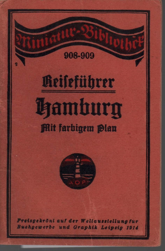
1912ref. 39317Leipzig, Verlag für Kunst und Wissenschaft Albert Otto Paul, [ca. 1912]. 72 S. 1 mehrf. gefalt. farb. Plan beiliegend (Bildgr. 19 x 26,5 cm). (= Miniatur-Bibliothek, 908-909). 16mo. 12 cm. OBrosch.
1850ref. KART0156Gotha, Justus Perthes (um 1850). Grenzkol. Kupferstichkarte, mit Längen- u. Breitegradangaben in Rahmenleiste, unterhalb des Kartenbildes eine Gefällekarte, Bildausschnitt 20,5x25,5 cm, Blattgröße: 25x34,5 cm, zahlr. kl. Randrisse und Knitterspuren im w. Rand, durchgeh. Mittelfaltung, ra
ref. 43179ABEdinburgh u. London, W. Blackwood, o.J. Gr.-8°. 1 mehrfachgef. Kte. a. Leinwand gezogen. Leinwand. Vergold. Deckeltitel. Cloth. Gilt title on spine. Stark ber. u. best. Stock- u. fingerfl. Rubbed and bumped. Foxed and stained.
1991ref. 55373New York, John Wiley & Sons, 1991. Geometrical methods for engineers and scientists XVI, 376 S. (24 cm) illustrierter Pappband / gebundene Ausgabe
1786ref. 1505010565xbvk[Paris, Bibliothèque des dames, 1786.]. 1 sheet, with a decorated titlefield; Ca. 20,9 x 23,7 cm (will be shipped flat, unfolded).
1786ref. 18071018xbvkParis, Bibliothèque des dames, 1786. 1 sheet, with a decorated titlefield. Ca. 21,2 x 23,9 cm (will be shipped flat, unfolded).
1786ref. 1409151357xbvkParis, Bibliothèque des dames, 1786. 1 sheet, with a decorated titlefield; ca. 21 x 24 cm (will be shipped flat, unfolded).
1928ref. 22730München 1928. Maßstab: 1:100.000. In 18 Segmenten auf Leinen gezogen. 57x77 cm Querformat.
1957ref. 22729Ausgabe 1957. Maßstab: 1:100.000, 1-cm-Karte. In 24 Segmenten auf Leinen gezogen. Landkarte 57x75 cm Querformat.
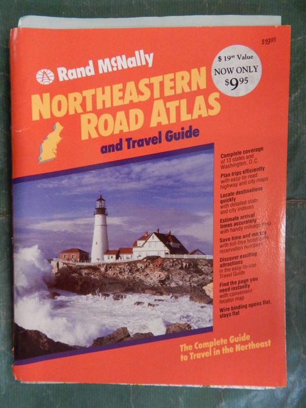
1990ref. 30687geBoston u.a., Rand McNally & Company, 1990. Broschur, mit farbigem Deckelphoto, Metall-Spiralbindung, ca. DinA 4, 198 Seiten, durchgehend farbige Kartenskizzen, 2 auffaltbare lose Kartenskizzen liegen bei, Einband mit Gebrauchsspuren, Knickspuren, altes Preisschild (lässt sich MÖGLICHERWEISE nicht lösen) am oberen Vorderdeckel, zum Rücken unten minimal eingerissen, Seiten minimal randbeschabt, insgesamt gut erhalten / insgesamt guter Zustand [5 Warenabbildungen]
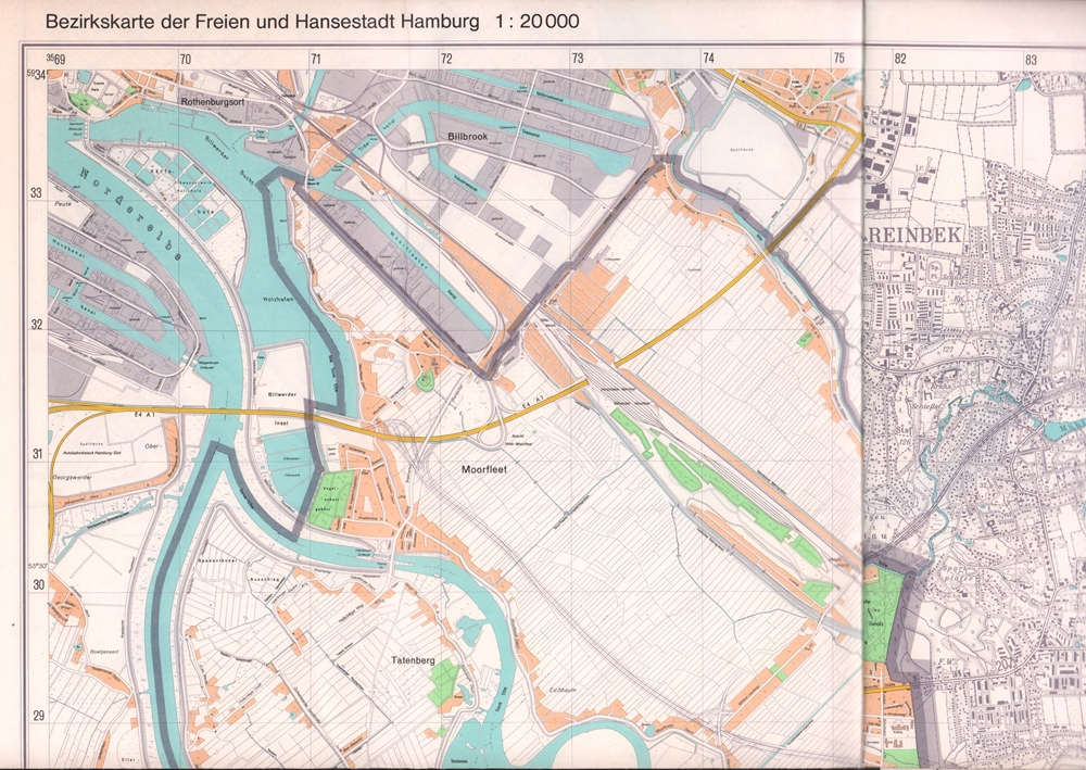
1975ref. 88232Hamburg, Vermessungsamt, 1975. Mehrfach gefalt. farbige Landkarte, Maßstab 1:20.000. Kartenmaß 76 x 96 cm, Blattmaß 88 x 101,5 cm.
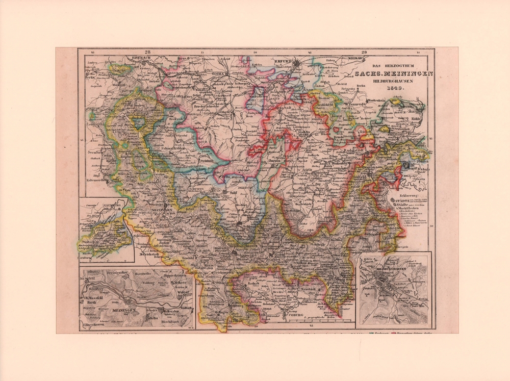
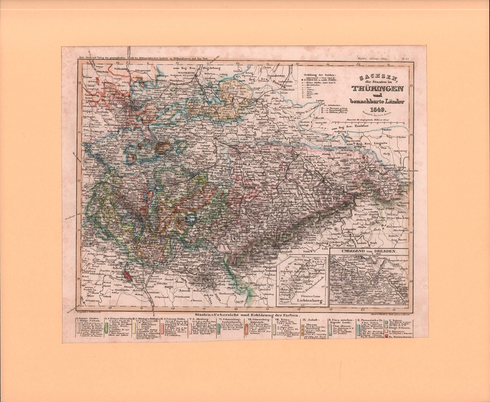
1850ref. 76505Hildburghausen, Geograph. Anstalt des Bibliographischen Instituts, [ca. 1850]. Bildgröße 19 x 24,5 cm. Unter Feinkartonpassepartout.
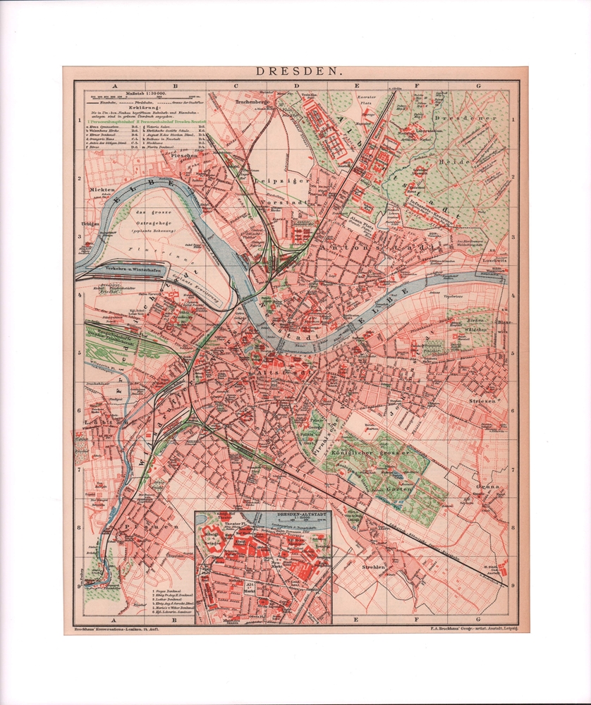
1900ref. 76509Leipzig, F. A. Brockhaus, [ca. 1900. Bildgröße 26 x 21,5 cm. Unter Feinkartonpassepartout.
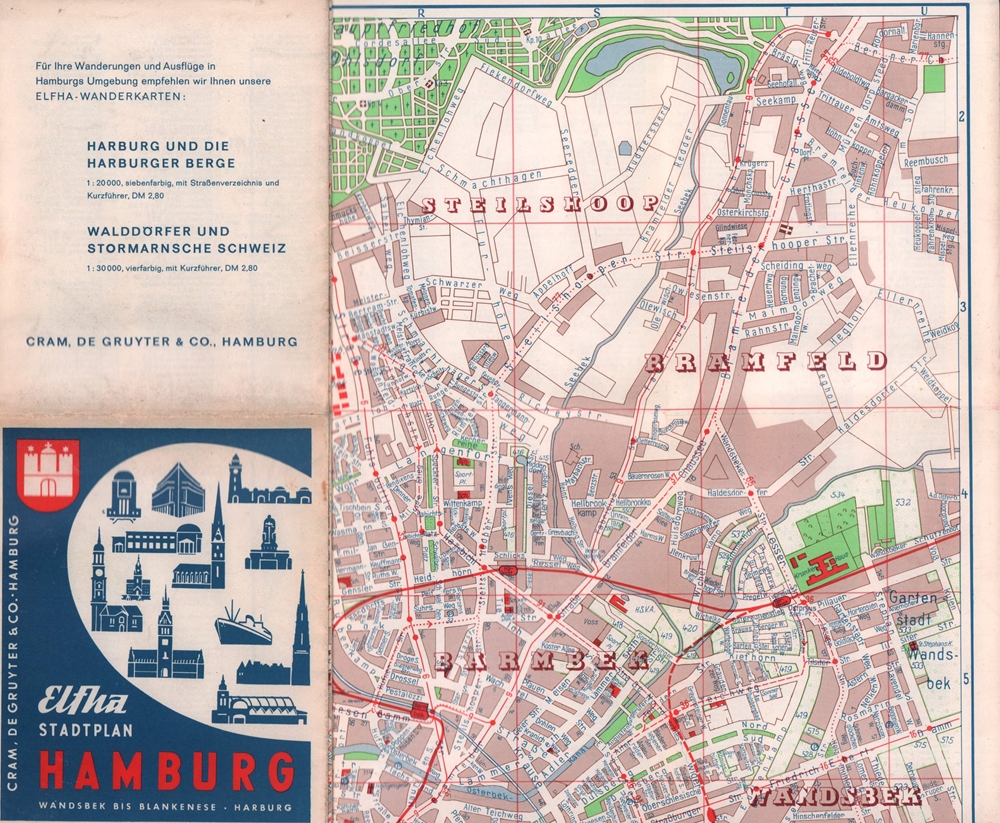
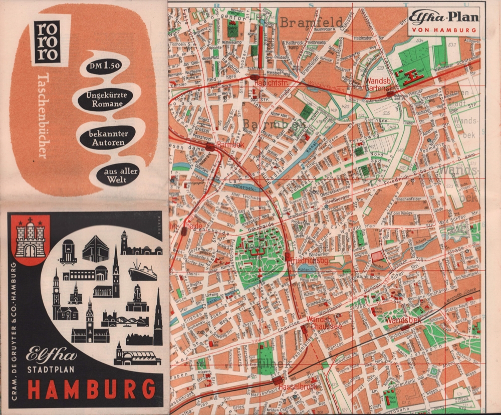
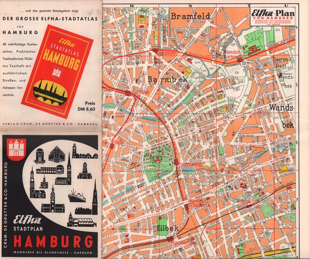
1961ref. 19091Hamburg, Cram, de Gruyter & Co. [1961]. 1 farb. mehrf. gefalt., beidseitig gedruckter Plan. Maßstab 1:15.000. Blattgröße 59,5 x 83 cm. Gefalzt 15 x 12 cm. Ungestrichenes Papier.
1954ref. 63120Hamburg, Cram, de Gruyter & Co. [1954]. 1 farb. mehrf. gefalt., beidseitig gedruckter Plan. Maßstab 1:15.000. Blattgröße 59,5 x 83 cm. Gefalzt 15 x 12 cm. Ungestrichenes Papier.
1956ref. 31400Hamburg, Cram, de Gruyter & Co. [1956]. 1 farb. mehrf. gefalt., beidseitig gedruckter Plan. Maßstab 1:15.000. Blattgröße 59,5 x 83 cm. Gefalzt 15 x 12 cm. Ungestrichenes Papier.
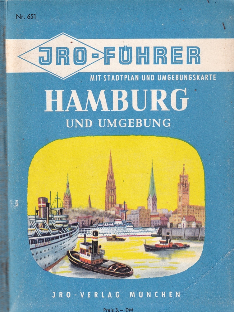
1959ref. 87119München, Iro-Verlag, [1959]. 251 S. Mit 1 Stadtpl. 1:20000 u. 1 Umgebungskarte 1:300000 (= Iro-Führer, Nr 651). 16 cm. Farbig illustr. Rückenbrosch.
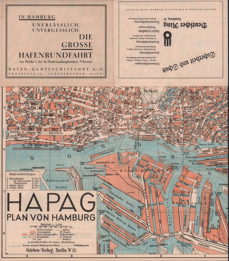
1931ref. 88168Berlin, Grieben, 1930/1931. Mehrfach gefalteter, farbiger Plan. Maßstab 1:15.500. Blattmaß 44,5 x 59 cm, gefaltet zu 11,5 x 15 cm. Verso 20 gestaltete Firmenanzeigen.
1950ref. 7870ACa. 1930 bis 1950. 8°.
ref. 2468Ao.J.
1876ref. 71763Hamburg, Ch. Fuchs Lith. Inst. [ 1876]. Zweifarbiger, lithographierter Faltplan (39 x 69 cm), mehrfach gefaltet.
1876ref. 71767Hamburg, Ch. Fuchs Lith. Inst. [ 1876]. Zweifarbige, lithograph. Karte (78 x 56 cm), mehrfach gefaltet.
1876ref. 71760Hamburg, Ch. Fuchs Lith. Inst. 1876. Dreifarbiger, lithographierter Faltplan (50 x 67 cm), mehrfach gefaltet.
1850ref. 76507Hildburghausen, Geograph. Anstalt des Bibliographischen Instituts, [ca. 1850]. Bildgröße 18 x 24 cm. Unter Feinkartonpassepartout.
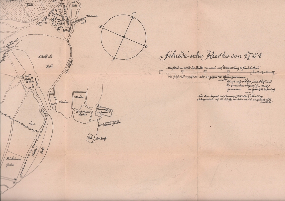
1938ref. 64597[Hamburg], 1938. 72 x 60 cm, mehrfach gefaltet.